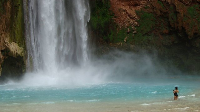
Scenic beauty, complete with towering red cliffs and spectacular waterfalls, make the Havasupai waterfall hike the must-do vacation in the Southwest. The village of Supai, Arizona, located on the Havasupai Indian Reservation is one of the most remote and beautiful corners of the Grand Canyon for a waterfall hike.The first 8 miles of trail to the village of Supai can be hot, dry, and dusty with no water available. Remember to carry plenty of water with you – at least 2 liters of water or more if necessary. At the village, you will pay for your stay at the campground and refill your water bottles. Food is also available if you need it. The campground is another 2 mile beyond the village.
Spending a night in the canyon can often be described as a spiritual experience.
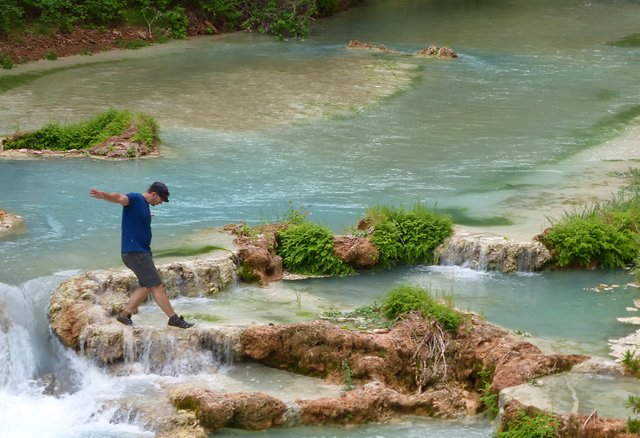
The wonder and awe of the canyon seem to envelope you in a way that is hard to describe, but peaceful and refreshing certainly come to mind. Once you’ve experienced it, you will long to come back again and again.Just past the campground is Mooney Falls which is the third and furthest waterfall from Supai. If you want to see this 170 foot waterfall from the base, it requires a harrowing descent down the side of a cliff via travertine tunnels and chains bolted into the sheer face of the rock.Once past this beautiful waterfall, you will travel through Jurassic-Park like scenery minus the dinosaurs of course. Four miles down the canyon beyond the campground lies Mooney Falls. It’s an incredible series of cascades and warm pools just waiting for you to jump in.
- Highlights: magnificent water falls, unusual turquoises blue water, trip of a life time
- Near: Grand Canyon, AZ
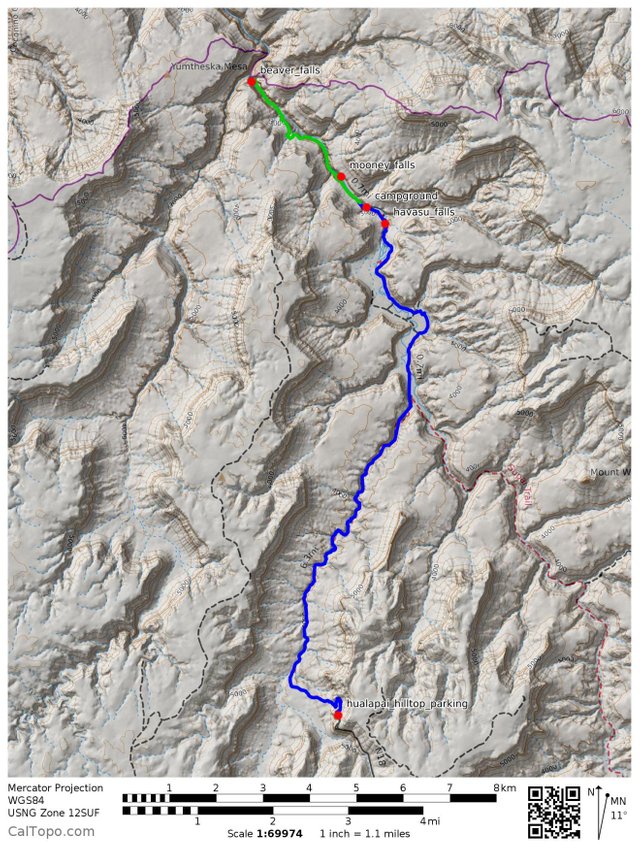
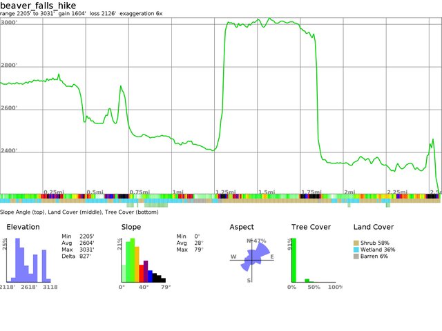
- Distance: 20 miles round trip to campground, 8 miles round trip to Beaver Falls
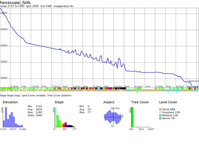
- Elevation Gain/Loss: 2500 ft
- Hike Time: 3 days
- Difficulty: 8/10
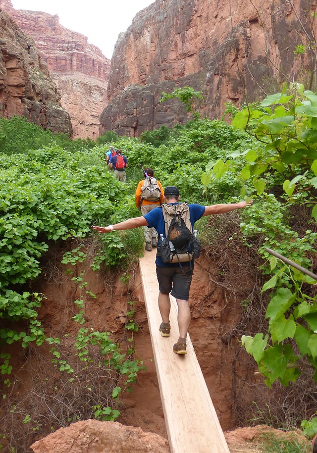
- Trail Condition: well maintained trail, scary in some spots
- Parking – easy parking with few restrictions
- Best Season: Spring, Fall
- Reservations – >>CLICK HERE<<
- Dog Friendly: No
- Kid Friendly: Yes (older kids)
- Rating: 5/5
- GPX File Download: >>CLICK HERE<<
Getting to the Trailhead:From Los Angeles – 210 fwy (east) to 15 fwy (north) to hwy 40 (east) to hwy 66 (east) to Indian Rd. 18 to end of road (trail head).
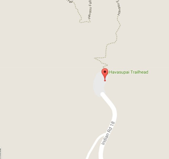
Trail Detail Map
Profile Map to Campground
Hi! I am a robot. I just upvoted you! I found similar content that readers might be interested in:
https://myfavoritehikes.wordpress.com/2015/05/01/havasupai-falls/
Downvoting a post can decrease pending rewards and make it less visible. Common reasons:
Submit