Hi Friend's, i hope you all are well and hoping that things going good in this Pandemic situation as this is faced by people all over the World. I wish this Covid-19 thing ends soon and all the things get back in shape as it was before.
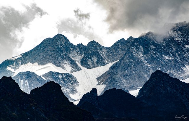
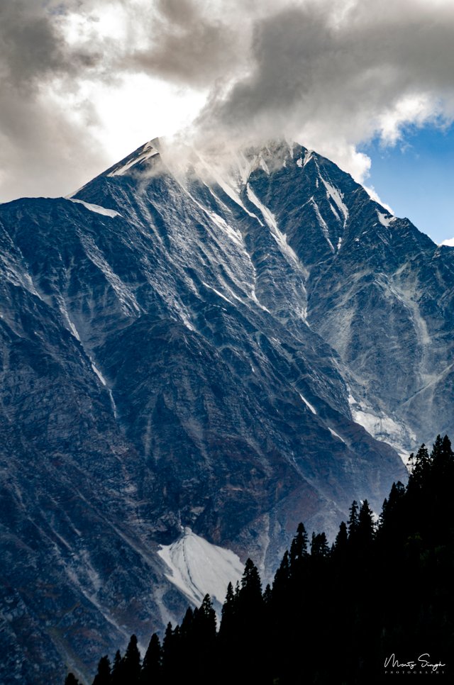
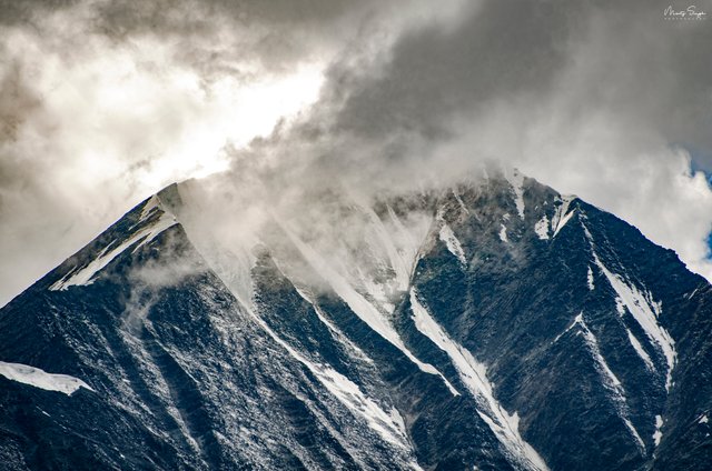
Today i want to talk about the part of Dhauladhar Range of Himalayas those lies in Himachal Pradesh, India. The name derived as Dhauladar which means 'White' ( The White Range ) as the peaks of these mountains covered in Snow throughout the year. Elevation of mountains in this range vary from 3500 metre to 6000 metre. The highest peak in the range is the 'Hanuman ka Tibba' which has an Elevation of 5,860 metre. There are other peaks too those elevation is close to 5500 m. These mountains have a distinctive look as they have dark granite rocky formations and sharp vertical steeps and ice at the top of the peaks. Although, mostly made of granite, some parts involve formations of slate which are used in the roof's of houses in the region. Some of the peaks seems to shoot up almost vertically. Trekking to the peaks of these mountains from any side is difficult because of its vertical incline. So, this can only be done by the highly trained and technical trekker's and Mountaineer's.
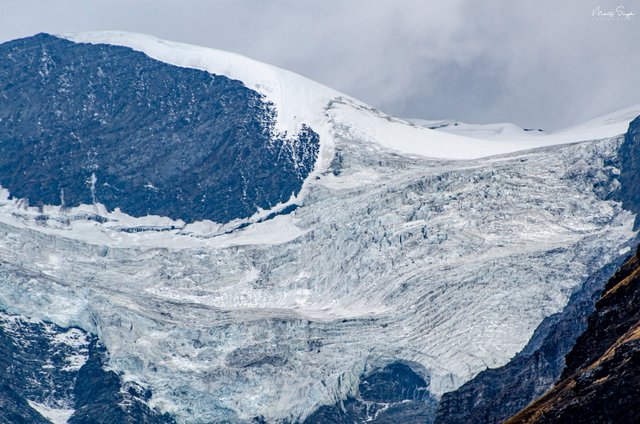
There is very little habitation due to high altitude and lack of oxygen at this level. And the top of the places in these mountains are covered in thick sheet of snow and forms mountain glaciers. But around 3000 metre in the crest of these ranges, there is habitation and green area as the level of oxygen is fine which helps in Grazing for animals of the local people. In this habitation area, there are dense Pine and Deodar Forests. These are the peaks which attracts mountaineers and trekker's from all over the world.
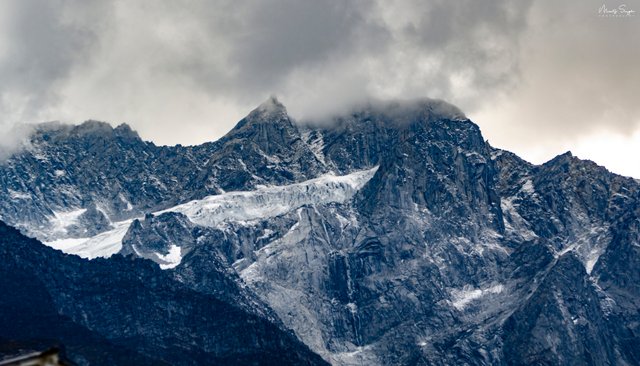
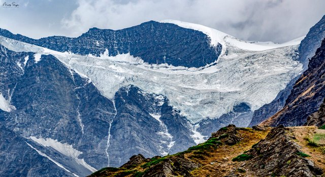
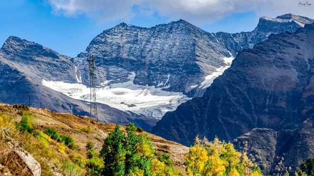
I was in this place named Burwa while i was on the way to Sissu. This place named Burwa is almost 20km from Manali, just few kilometers before Atal Tunnel i.e. world's longest tunnel at the altitude of 3000m. This is the new area which has been opened to public usage to travel towards Leh and Spiti valley. So, i just took a stop at this point and parked my car aside as the view of this area is amazing.It was little cold here because of the high altitude. Then i just took my camera out from the camera bag and put my 70-300 mm lens on the camera and took these shots of the High Peaks and Glaciers on top of the peaks. And the weather changed in few minutes and clouds started forming on top of these peaks as you can see in the pictures. These mountains are so high and big and i just feel like we humans are so tiny in front of nature. After clicking the pictures, i just sat down on the rock beside the road and admired the view for few minutes and started my journey back to my relatives house. A beautiful day i cherished at this new area filled with stunning views. Dhauladhar Mountain Range in this part of Himachal Pradesh of India is really a visual treat.
These are the pictures that i took there with my camera.
| Photographer | Monty Singh |
|---|---|
| Camera | Nikon D7000 |
| Lens | Nikon 70-300mm f/4.5-5.6g VRii |
| Category | Mountain Range |
| Location | Burwa, Himachal Pradesh, India |
| Post Production | Lightroom and Photoshop |