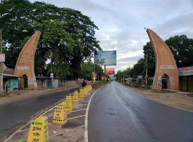
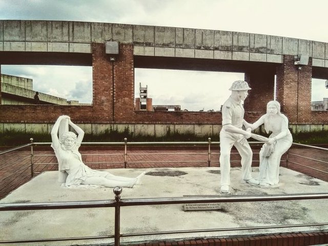
Meherpur district is an administrative region of the Khulna Division in central Bangladesh. During the War of Liberation, the expatriate government of Bangladesh took oath at Amrakan in Baidyanathtala, Meherpur subdivision of the then Kushtia district and formed a provisional government and declared the People's Republic of Bangladesh as the provisional capital. During the war of liberation there is a record of a frontal battle between the Pakistan army and the freedom fighters at Meherpur. .

Country
Bangladesh
Department
Khulna Division
Recognition as a district
1984
Parliamentary seats
2 Upazila = 3
Size [1]
• Total
617.62 sq km (26.89 sq mi)

Gangni, Meherpur, Mujibnagar
Population (2011) [2]
• Total
6,55,392
• Population density
910 / sq km (2,400 / sq mi)
Literacy rate
• Total
47.3%
Time zone
BST (UTC + 6)
Post code
Edit this on 6100 Wikipedia
Administrative
Department code
40 58

I hope accept my achievements 🥰🥰🥰