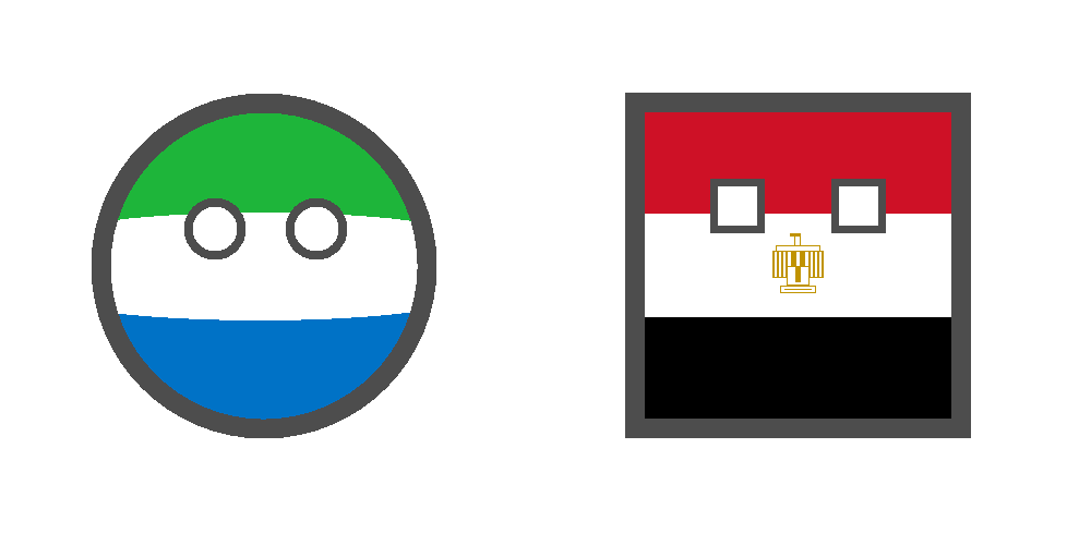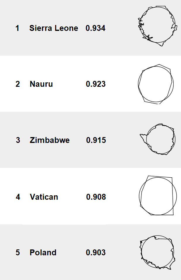
Not a comic today, but a fact that makes Polandball look realistic: Poland is #5 of the most circular countries in the world - at least with regard to the shape of its borders on the map. Sierra Leone, with its beautiful green-white-blue flag, is the roundest country. For this occasion, I used the shape tools in MS Paint to show off how round it is.

The roundness of countries was calculated by Gonzalo Ciruelos, who wrote a blog post in 2016: What is the roundest country? I read about it on a popular Twitter account this week, but they didn't link to the source, so fuck them, they're not getting a link from me.
Poland is also #9 in the list of rectangular countries, according to David Barry. As you'd expect, Egypt is the most rectangular country. But Kazakhstan and Israel are in the bottom half of rectangularness. Krautchan lied to us!
Can you guess which country is the least round? No, it's not Chile - it's the Marshall Islands. But Chile will get another chance when the Pacific Islands ranked below it start disappearing due to rising sea levels.
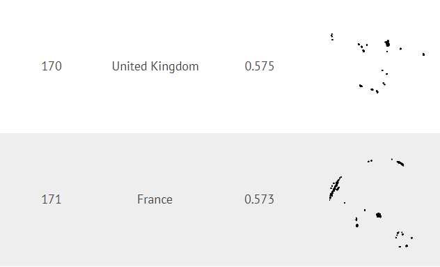
The UK and France are almost unrecognizable on the map - both are basically a collection of islands dispersed around the world:

And the US isn't very round either, with Alaska making up a significant part of its territory:
Some people complained that some countries that are nearly square are high on the list, while a perfectly round long ellipse would get a low score. Maybe 'most compact' would be a better term for roundness measured in terms of surface area. In other words, Poland is fat. You'd probably get a more intuitive result from measuring the variation in the curvature of the borders (more constant curve = rounder), but that would be a nightmare to calculate.
Ciruelos himself notes that smaller countries in the Natural Earth dataset that he used have simplified shapes. And he wisely refrained from meddling with geopolitical issues. I'm not complaining - any method will have disadvantages, and it would be unscientific to try to improve the data. You'd start playing favorites whether you want to or not. For example, if you ignore the Caribbean Netherlands as outliers, do you also ignore the Galápagos Islands for Ecuador? And which islands would you ignore for Denmark or the UK?
By the way, did you notice my logo here looks a bit like the shape of Poland on the map, with a slope on the bottom, like the Silesian border? It was a happy little accident. Well, not completely - I mirrored the original design for this reason.
