Google maps is a set of applications built on the basis of free cartographical service, which is a map and satellite imagery of planet Earth, also Google Street View allows users of Google Maps to "walk" through three-dimensional projection of a city or some of its streets through the Internet.
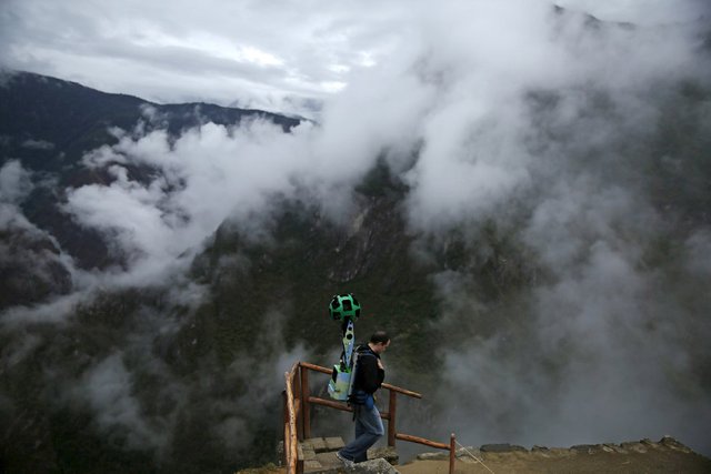
Google "drawing of panorama with unusual devices that are in inaccessible places have to wear. One such place is a citadel of the Incas Machu Picchu.
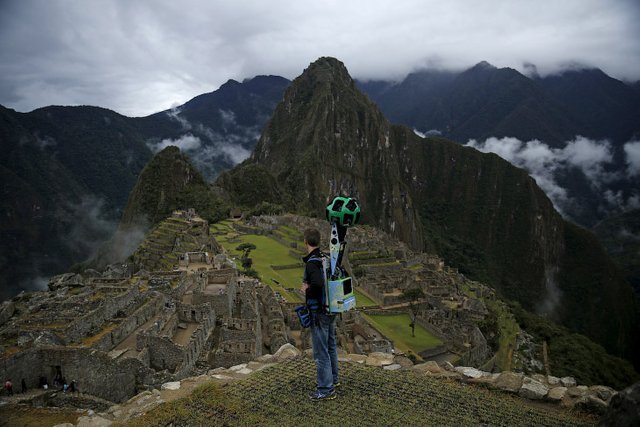
In General, work is good: go yourself, wander interesting places and get paid for it. The only disadvantage is the equipment that is necessary to drag on itself.
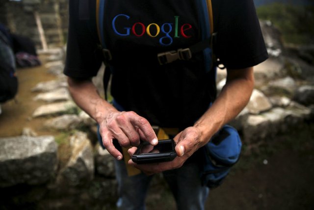
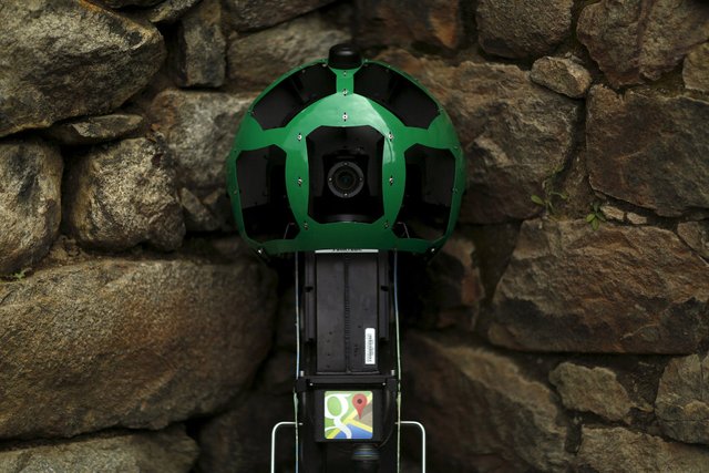
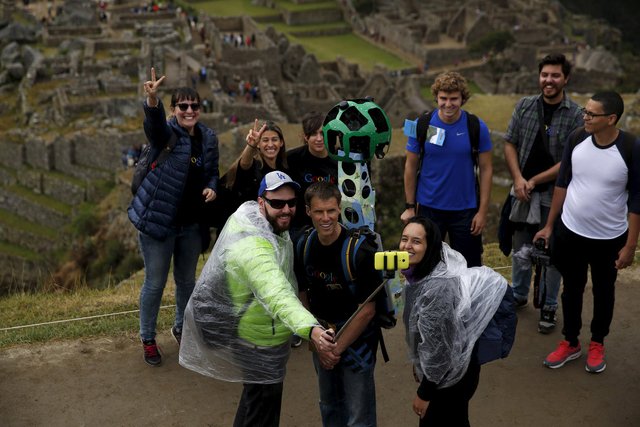
On the back of the Google backpack camera. This 2 battery, Android on Board, 15 five-megapixel cameras, GPS tracker and 18 kg weight. And all this allows you to shoot high-quality images and combine them into a common space for Google Street View.
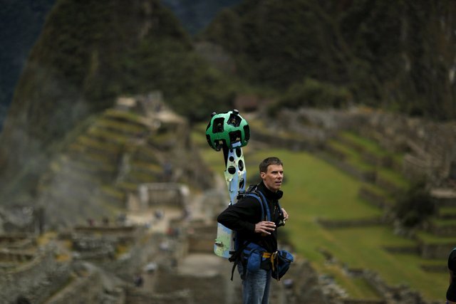
Walk, wander.
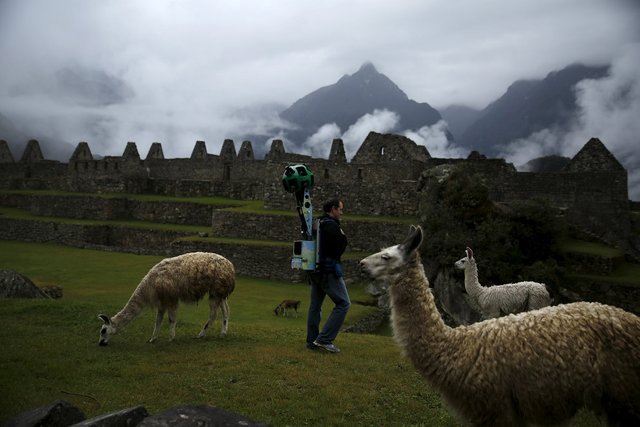
Still 18 kg is too much.
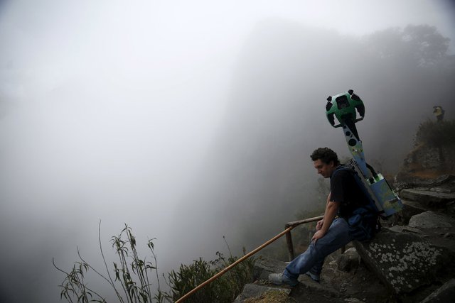
And while Google is "drawing" a panorama of Machu Picchu, we'll talk about the city of ancient America. He is in the territory of modern Peru at the top of a ridge at an altitude of 2450 meters above sea level, dominating the valley of the Urubamba river. In 2007 awarded the title of New wonder of the world.
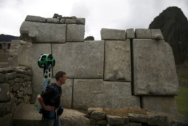
Device with 15 cameras in all its glory.
Also Machu Picchu is often called "city in the sky" or "city among the clouds", sometimes called the "lost city of the Incas".
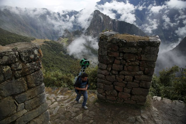
Pachakuteka built as the Imperial residence, and to perpetuate his name in history, Machu Picchu was the third among such residences-sanctuaries. According to its modest size Machu Picchu can not claim the role of major city — it is not more than 200 buildings.
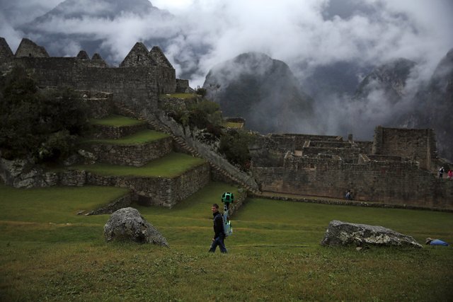
This is mainly churches, residences, warehouses and other facilities for public use. For the most part they are composed of well-crafted stone, closely fitted to each other plates.
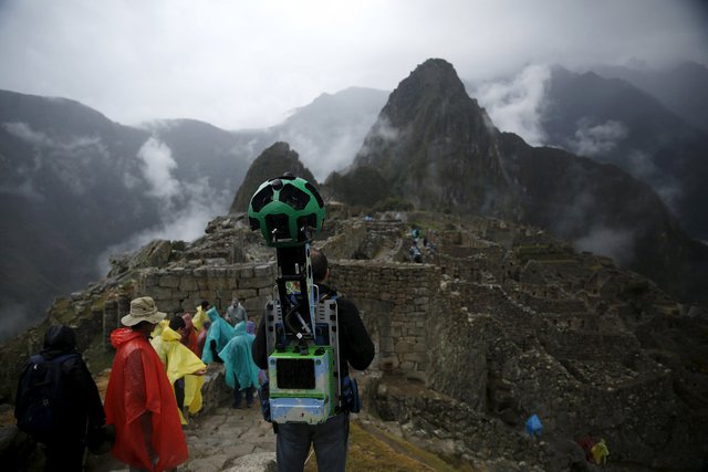
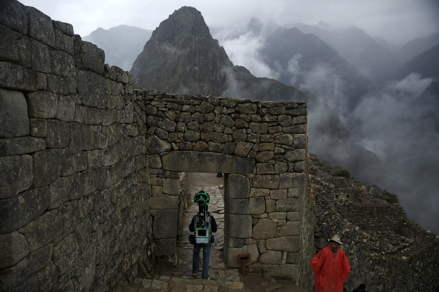
More than 400 years the city was abandoned and remained in ruins. It was discovered by an American researcher from Yale University Professor Hiram Bingham on 24 July 1911.
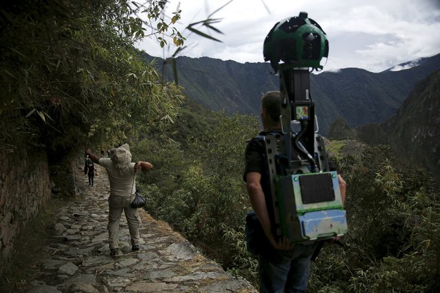
To build a city in such an uncomfortable place for the construction, required incredible skill. According to engineer Kenneth Wright and archaeologist Alfredo Valencia Segarra, more than half of the effort spent on construction, was spent on site preparation, drainage and Foundation. The massive retaining walls and stepped terraces over 500 years kept the city without giving rains and landslides carry it to the rocky ledge.
Under the new rules, only 2500 tourists a day can visit Machu Picchu with a maximum of 400 people can climb the mountain Huayna Picchu, which is part of the archaeological complex.
Nice article, I would love to visit here someday myself. You can find the original (or at least preceding) version here http://fotonews.xyz/how-google-draws-panorama.
I really don't understand the purpose of posting unoriginal content like this, especially when it's unimproved - worse still, this is just truncated. Maybe someone can explain it to me.
Downvoting a post can decrease pending rewards and make it less visible. Common reasons:
Submit
thanks for the interesting story. I use the streetview quite alot and this story is even more amazing that the pics of the street.
Downvoting a post can decrease pending rewards and make it less visible. Common reasons:
Submit
Very interesting photo, work and great place on the photo.
By the way. You know guys, it was felt that the game PokemonGo have developed for the same purpose that this guy goes with tracker over the world.
http://www.networkworld.com/article/3099092/mobile-wireless/the-cia-nsa-and-pokmon-go.html
Downvoting a post can decrease pending rewards and make it less visible. Common reasons:
Submit
Downvoting a post can decrease pending rewards and make it less visible. Common reasons:
Submit