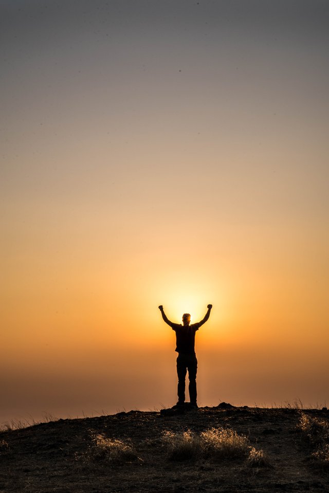
I didn't have a plan in mind when I first started photography. What i did want to do is start exploring the areas around me more. I began to wonder all around the bay area and I found myself surrounded by something I was really starting to enjoy. I first began to travel to spots that I had been to already. Let me tell you that Google Maps has become my best friend. I remember trying to ask other photographers for advice on how to get to spots and I never got a response back. This motivated me to find all these places by myself even if I had to spend hours looking at a map. There were a few places that I found on the map that offer no kind of information, so I would make a drive and see how to get to these places. The picture above was taken at MT. Tamalpais located in Mill Valley, Ca. The drive from where I live is about an hour and a half. I drove up to the first parking lot of the park and there was plenty of room to park. The first parking lot is free and the top there is a fee. Once I parked, I saw a trail right in front of me and decided to go ahead and hike it. As we got to the edge of the cliff I looked up and saw the perfect silhouette moment and decided to take the shot. It was definitely one for the books and the hike was one to check out again.

If you guys have any questions on how to get to these locations and what equipment I use, drop a comment down below and i'll be more than happy to answer any questions for you guys.
Congratulations @louiproductions! You received a personal award!
Click here to view your Board
Downvoting a post can decrease pending rewards and make it less visible. Common reasons:
Submit
Congratulations @louiproductions! You received a personal award!
You can view your badges on your Steem Board and compare to others on the Steem Ranking
Vote for @Steemitboard as a witness to get one more award and increased upvotes!
Downvoting a post can decrease pending rewards and make it less visible. Common reasons:
Submit