Introduction
An ongoing scientific study to detect ancient ports and settlements on the western and southern coasts of Aceh is on the banks of the Indian ocean. The western and southern coastal regions of Aceh are a place that is always visited by European nations, an area that is preoccupied with the spice trade of plantation products during the period of Aceh Darussalam kingdom in the middle ages.
The 4-member team is @keuudeip as the lead researcher, @vannour as a photographer, and two research assistants @safar01 and @abelpasai. The present study is a preliminary survey to detect the potential to determine the point in subsequent research.
Narratives and scientific studies are done by @keuudeip, while I only upload photos to the public, especially on Facebook Group MAPESA ( @mapesa ) "MASYARAKAT PEDULI SEJARAH ACEH (Aceh Historical Concern Society)". @mapesa as a sponsor requires the expedition team to publish all photographs, data and information and that are found in the field to the general public through social media. All photographs in the course of scientific research sponsored by @mapesa are free license for the benefit of science.
The expedition trip to the west and south coast of Aceh has ended for 9 days (13-21 August 2017), and the team has returned safely to Banda Aceh. This trip is named #EspspedisiMuhammadGhauts.
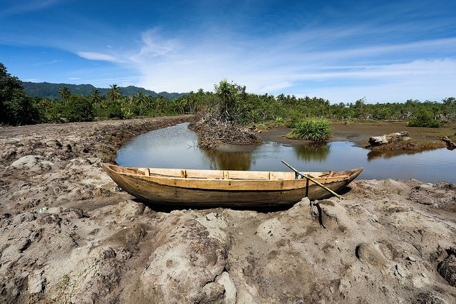
Rasian Seaport
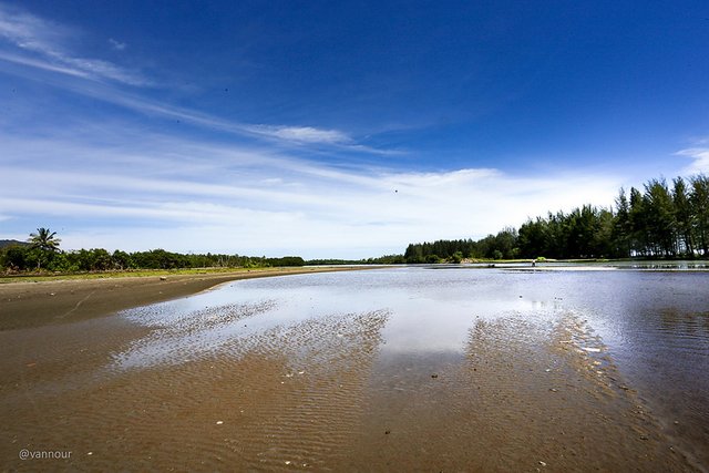
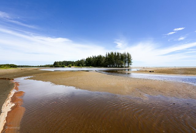
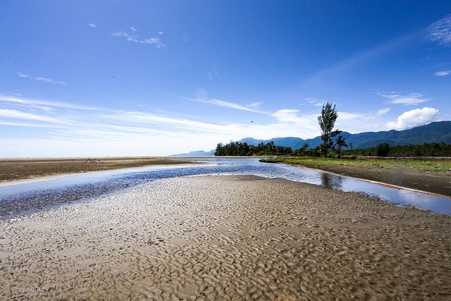
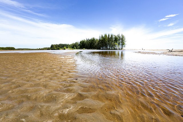
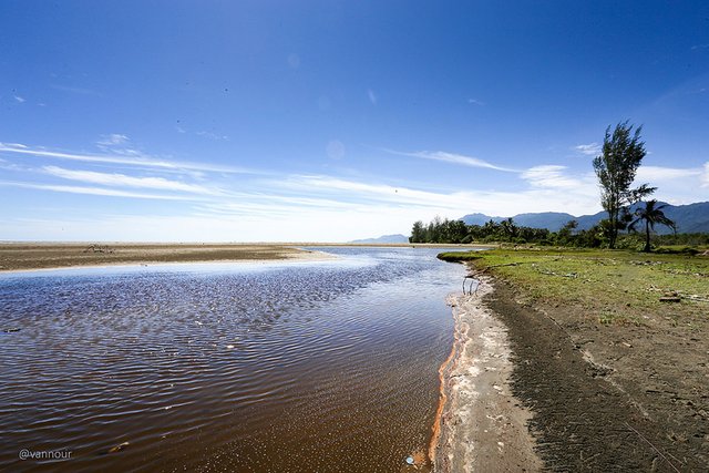
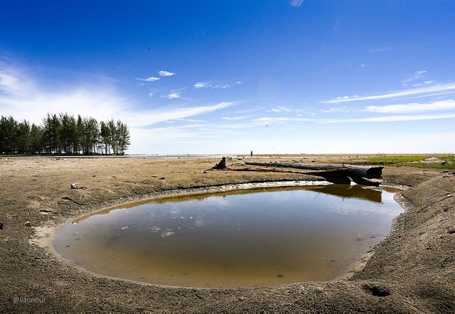
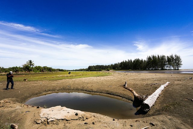
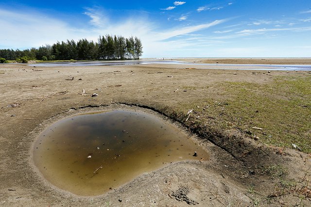
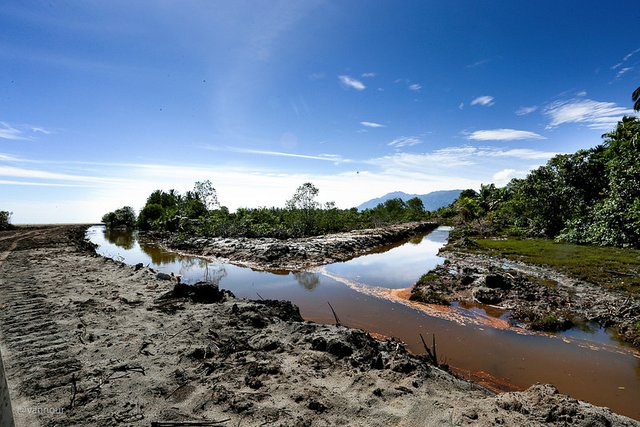
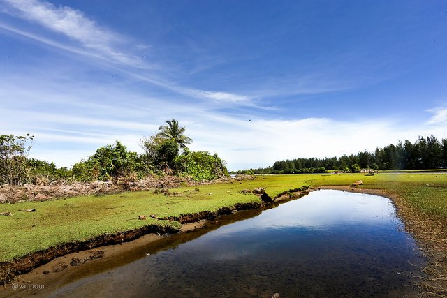
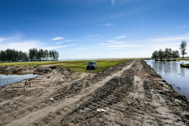
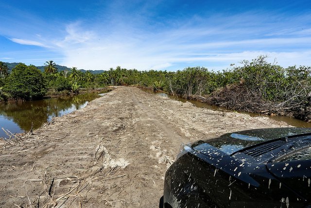
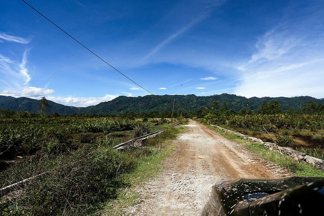
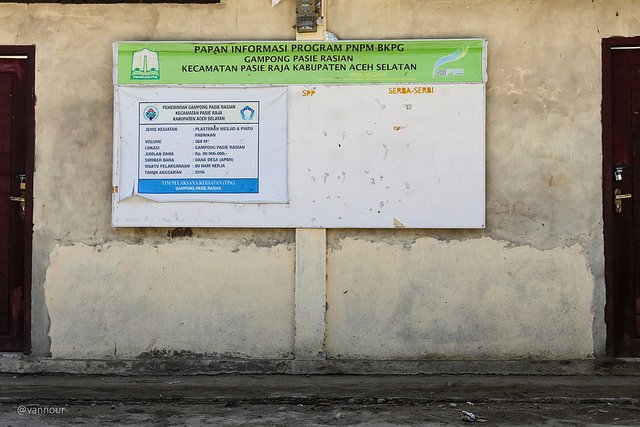
Bandar Rasian, during the Aceh Darussalam kingdom period known as Rasian Seaport, local people call it Gampong Pasie Rasian, Pasie Raja (King Beach) sub-district, South Aceh Regency, Aceh. To reach to that location, we have to pass the rocky and muddy road, 1.68 km (1.05 mi) away from the highway, position at 3°09'01.3"N 97°17'19.7"E
We layover there for only 1 hour, when at the location of the team immediately rush to spread to conduct a survey according to each task. I shot a few photos in a hurry.
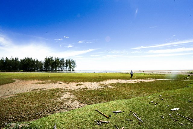
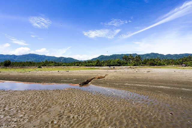
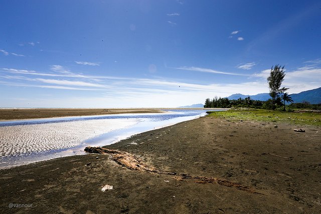
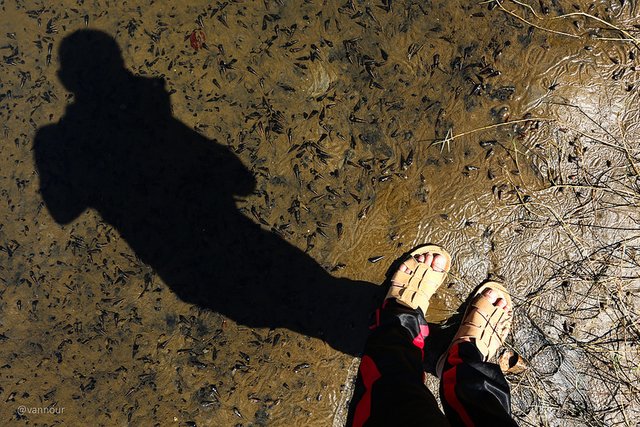
Scenery
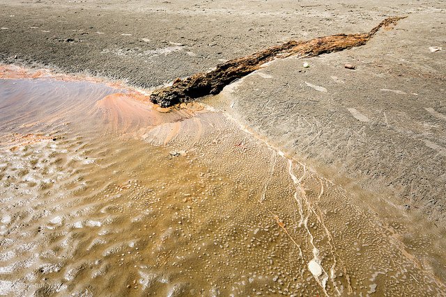
Organic Matter
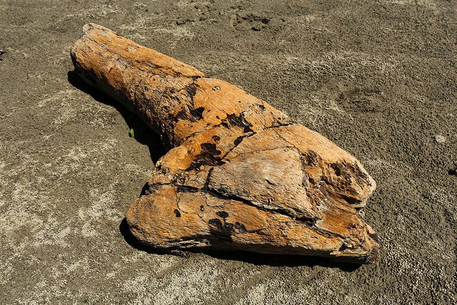
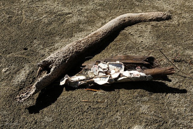
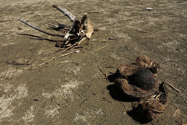
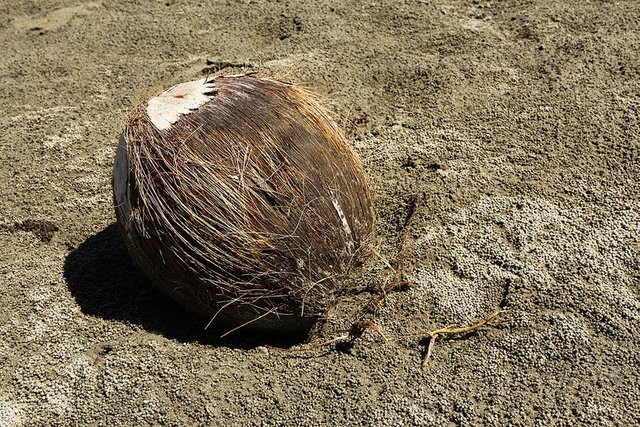
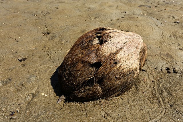
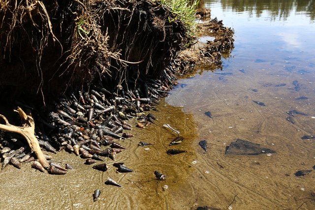
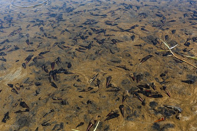
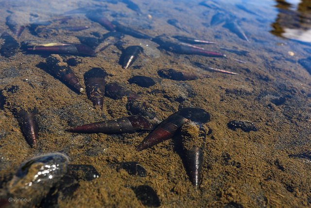
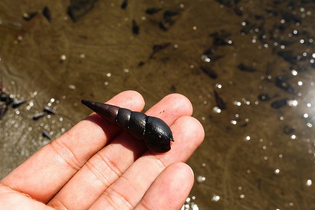
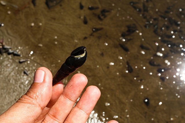
Pachychilus Largillierti
Let's go
Please see my old post about a trip for scientific research sponsored by @mapesa.
- Welcome to Rest Area Rigaih
- Seunagan River Estuary
- Kuala Batu or Quallah Battoo (History, Life and Nature)
- SteemitPhotoChallenge #50 Long Exposure - Entry2: Meukek Bay
- Track The Traces Of Aceh Civilization
- The Monkeys Ask For Alms
- Ancient Fortress of Trumon
- Whale Bay
- Ancient Cemetery Complex in Trumon
- The Ancient Flag in Trumon
- Ujong Manggeng Estuary
Interesting. But you didn't leave us a website in order to learn more about this.
anyway. Thank you for sharing this with us.
I wish you success
Downvoting a post can decrease pending rewards and make it less visible. Common reasons:
Submit
If you want a website, this is about the results of our previous research
http://www.mapesaaceh.com/
http://misykah.com/
Downvoting a post can decrease pending rewards and make it less visible. Common reasons:
Submit
Very nice picture of you
very very happy to see the natural scenery as you share it
Thank you for sharing @vannour
Downvoting a post can decrease pending rewards and make it less visible. Common reasons:
Submit
Looks very interesting view @vannour
Downvoting a post can decrease pending rewards and make it less visible. Common reasons:
Submit
Good effort to re-lift the west and south region of Aceh.
The aceh light will again shine as Manhattan used to be a land not to be reckoned with and once ditukarguling with the island run (Indonesia) between England and the Netherlands.
Thank you @vannour for sharing good information about Aceh's history, the land of greatness.
Downvoting a post can decrease pending rewards and make it less visible. Common reasons:
Submit
Any minute, at any moment
Let the mood be always joyful!
Eye shine and smile blossom
Let every your hour, every day, every year!
Downvoting a post can decrease pending rewards and make it less visible. Common reasons:
Submit