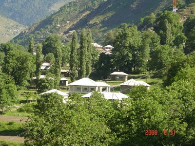
The Kaghan valley is named after the town of Kaghan rather than for the Kunhar River which flows through the length of the valley. The valley extends 155 km, rising from an elevation of 2,134 feet (650 m) to its highest point, the Babusar Pass, at 13,690 feet (4,170 m). Popular languages are Hindko and Gojri, while Urdu, Pakistan's national language is also familiar among the locals. The region is Alpine in geography and climate, with forests and meadows dominating the landscape below peaks that reach over 17,000 feet
Authors get paid when people like you upvote their post.
If you enjoyed what you read here, create your account today and start earning FREE STEEM!
If you enjoyed what you read here, create your account today and start earning FREE STEEM!