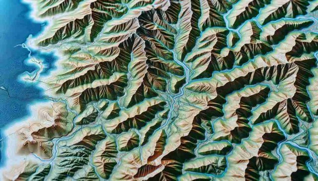
Topography is the discipline that focuses on studying and representing the physical features of the Earth's surface. Through this science, data is collected on elevation, landforms, bodies of water, natural and artificial structures, and other elements.

Surveyors use a variety of tools and techniques to gather this information, such as total stations, GPS, and laser scanning technology. The maps and plans created from these studies are essential in fields like civil engineering, construction, urban planning, and geology.
Additionally, topography plays a key role in the design of infrastructure projects, from building roads and bridges to laying down electrical and water networks. Topographic studies help ensure that projects are carried out efficiently, safely, and with respect for the environment.
In summary, topography is not only vital for the development of projects across various fields but also for gaining a better understanding of the physical world around us.
