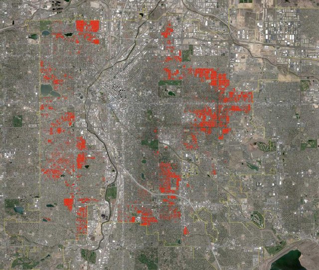

Before modern sprawl—that is to say through the 1940s—walkable urbanism grew in two ways. One was through infill development, redevelopment, and densification. For example, a two or three story building can be replaced by a five or 10 story building in a downtown. That method of growth was available then as it is today. The second way that walkable urbanism grew prior to 1950 was outwardly—in all directions. Prior to 1950, outward growth was compact and mixed-use, and organized around human-scale blocks and streets. The street grids of cities were simply extended. Denver is a great example, because the growth was mapped, by decade, in a excellent 2012 web series on the blog Denver Urbanism using GIS software.
https://www.cnu.org/publicsquare/2018/06/20/how-sprawl-makes-walkable-places-less-affordable
[amazon_link asins='0865477507,0226076911,B01NAK1XR1' template='ProductCarousel' store='flbikeped-20' marketplace='US' link_id='8babf526-9f5c-11e8-ac36-87c4e19537b2']
Posted from my blog with SteemPress : https://flbikeped.com/2018/08/14/does-trump-support-sprawl-where-did-it-come-from-it-does-increase-cost-of-walkable-areas/