
Blue Mound State Park

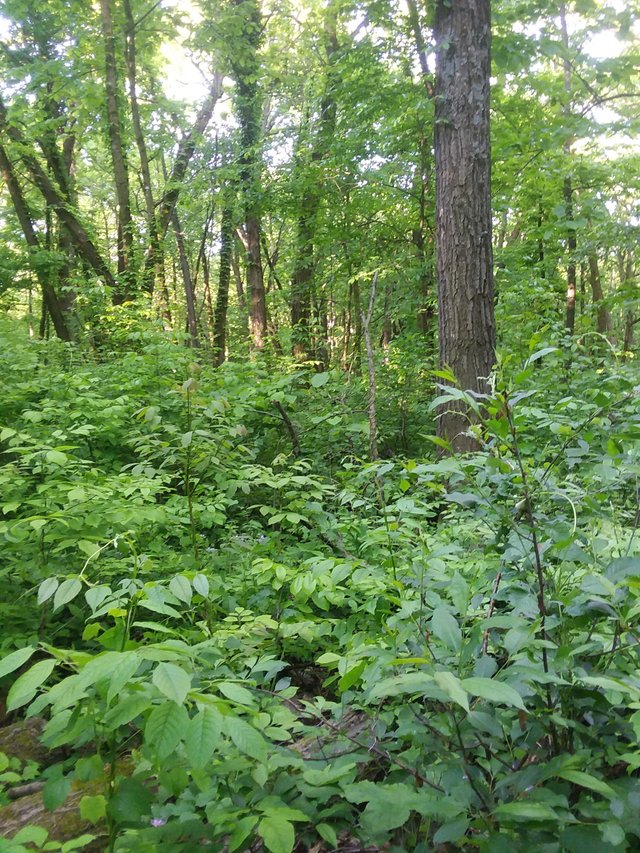
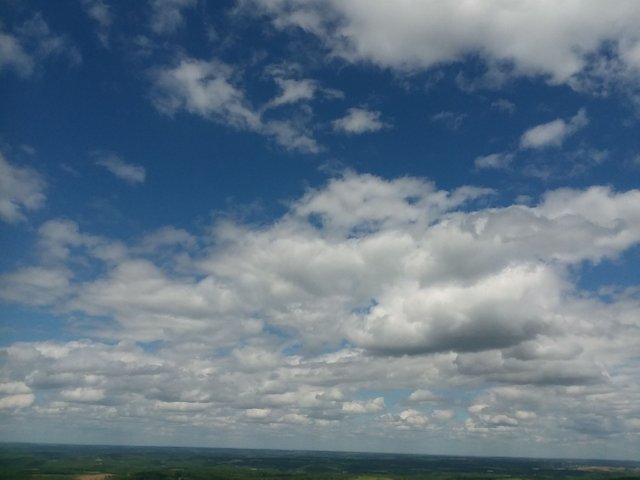
The Blue Mounds are two prominent bedrock hills in the Driftless Area near the border of Dane and Iowa Counties. They are the highest points on the landscape in southern Wisconsin—300 to 500 feet above the rest of the terrain in this area. Both mounds are composed of shale and dolomite. Although shale is a fairly weak rock, the west mound looms above the surrounding landscape because it is capped by an approximately 100-foot-thick layer of dolomite that has lots of chert, which is extremely hard and resistant to erosion. Layers, called strata, of dolomite may have once covered much of southern Wisconsin, but were later eroded from all but the tops of these and several other mounds in far southwestern Wisconsin. Chert (also called flint) was used by Native Americans to make the arrowheads and tools that are found in the many archeological sites in the area
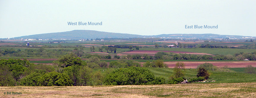
https://wgnhs.uwex.edu/wisconsin-geology/major-landscape-features/blue-mounds/
https://dnr.wi.gov/topic/parks/name/bluemound/
Directions
Blue Mound State Park is just north of the Village of Blue Mounds, about 25 miles west of Madison via US Highway 18/151. From Highway 18/151, go north on County Highway F and turn left on County Highway ID into Blue Mounds. Go west on Highway ID about a half mile to Mounds Road. Turn right (north) and follow Mounds Road north through town. (Mounds Road becomes Mounds Park Road once you leave the village.) The park entrance is one mile north of the intersection of Highway ID and Mounds Road. Geographic coordinates are 43° 1' 28" N, 89° 50' 28" W.