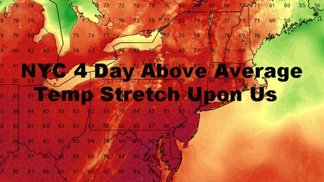
NYC Four Days Of Deep Summer Upon Us
Good sunny and warm morning everyone. For those waking up and getting out early, we have a humid start after a little bit of fog in areas overnight. That humidity will burn off a little bit as the day progresses, but we still have a very warm one ahead of us. Also, our long range holds onto summer in varying degrees, and I'll go into that below.
SATELLITE
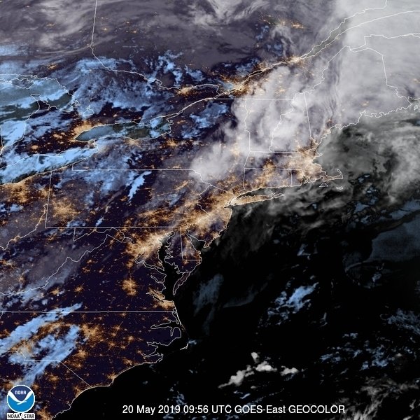
With a very weak area of energy moving through, interacting with our sunshine and warmth, we could see the slight chance of a heavy thunderstorm this afternoon. It's going to take a lot to make it happen since the air will be relatively more dry compared to the next few days, but it's possible. Most of the storms, if any, will be focused more on interior parts of NY and PA, but we'll keep an eye on anything that may drift our way. The biggest threat will be gusty winds and hail.
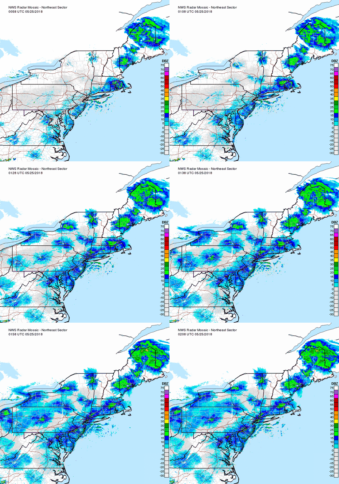
Tomorrow is also holding strong, with sunny skies and upper 80's to low 90's again. We increase the humidity a little bit, but the big bump will be on Friday.
As stated yesterday, Friday (and Saturday) will be your staple, mid-July weather. Expect puffy clouds popping, mixed in with sun, very humid, with upper 80's to low 90's once again. It'll feel more oppressive though and with those high dew points, we could see an afternoon thunderstorm.
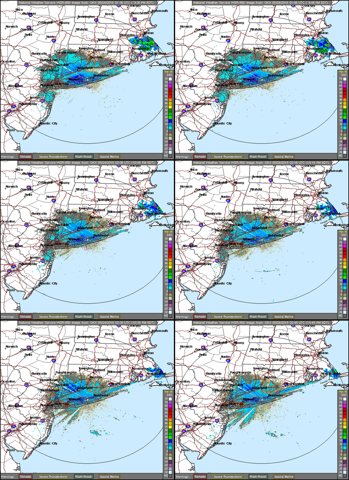
For Saturday, we'll squeeze out one more deep summer day. More clouds could hamper the high temps, but not by much. Look for very humid conditions, mid to upper 80's, and the chance of showers and storms late as some relief in the form of a cold front makes its way through.
We'll begin to feel some relief on Sunday, but there are questions as to if the front makes it through cleanly. We could see a slight chance of showers and storms with some energy left behind, but humidity will begin to drop and we should settle back down to the average realm; highs in the low to mid 80's.
In the long range, Monday is looking pleasant and seasonable, then we begin to dial back up the warmth and humidity Tuesday and Wednesday.
For your July 4th, I'm sticking to my Hail-Mary forecast, but it all hangs on a cold front that may be approaching the area by then. If it's to our west, expect a very warm humid holiday with the chance of a thunderstorm. If it's draped over the area, well you know how that goes. If it makes it through, look for warm and dry conditions.
We'll keep an eye on everything and see if any storms pop today.
Please note that with regards to any tropical storms or hurricanes, should a storm be threatening, please consult your local National Weather Service office or your local government officials about what action you should be taking to protect life and property.
Posted from my blog with SteemPress : https://www.nycweathernow.com/nyc-four-days-of-deep-summer-upon-us/