DOWNLOAD MY NEW FREE JOESTRADAMUS WEATHER APP FOR ALL DEVICES
(Unsupported https://www.facebook.com/plugins/post.php?href=https%3A%2F%2Fwww.facebook.com%2Fmeteorologistjoecioffi%2Fposts%2F10161417866420387&width=500)
STRONG LOW PRESSURE MAKES CLOSE NYC RUN MIDWEEK
Good morning everyone. Surprisingly, we have a few peeks of sun in the NYC area early this morning, but with a front approaching, expect that to change shortly with some showers. We're also watching for the development of low pressure along this old front once it passes. While we expect it to remain offshore, a glancing blow remains possible and I'll explain what that means for us.
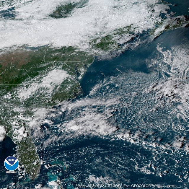
Any peeks of sun will slowly fade away this morning as clouds thicken and a line of showers move in. We're not expecting anything crazy, but it will dampen the ground and your outdoor activities from mid morning till early afternoon. Our high temps are essentially now, with low to mid 50's before the front passes.
We could see a little bit of sun again before sunset, but temps will begin to fall and a stiff northwesterly flow will develop. Look for temps to fall through the 40's, and we'll have a chilly, windy night with lows in the low to mid 30's. We could see some 20's in outlying areas, so don't put that winter jacket away yet.
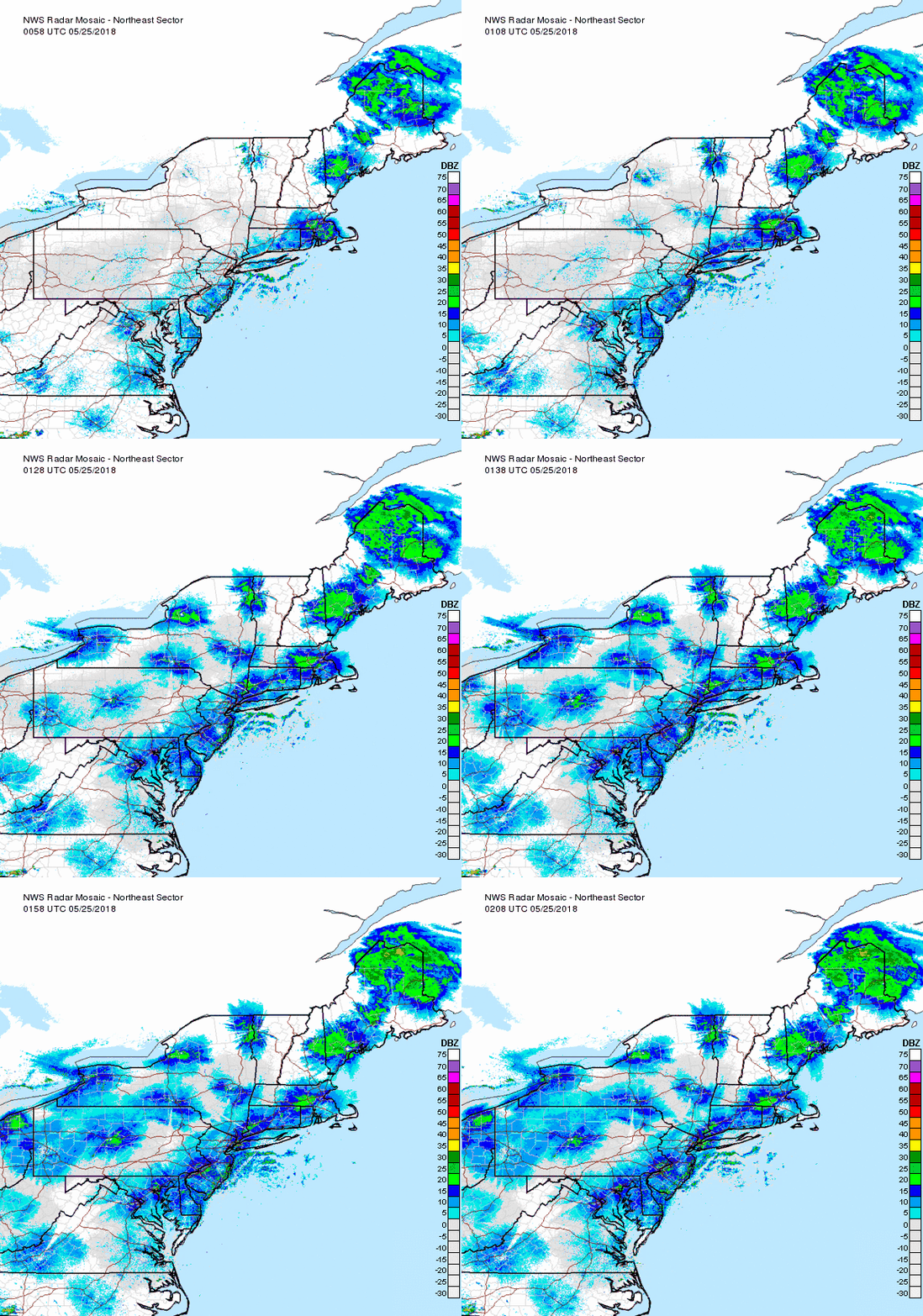
Tomorrow will be windy and chilly, and the March sun won't do much to help unless you're sitting in a car with the greenhouse effect. Expect highs tomorrow in the 45-50 range, but that wind will make it feel worse.
We begin to modify quickly as we usually do this time of year, with low to mid 50's expected by Tuesday. However, low pressure stemming from the old front draped along the Gulf, will throw a slight kink in the forecast as we approach Tuesday night and Wednesday.
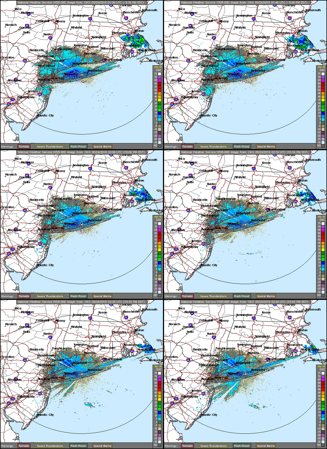
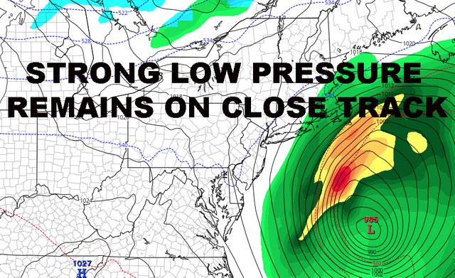
As of now, I continue to think a strong low pressure system makes a close pass to the area. It can still go slightly further inland or slightly further out to sea, but the compromise in my mind continues to see a light brushing of peripheral effects.
Clouds head in Tuesday night as strengthening low pressure heads off of the coast. The ESE fetch will be strong enough I think to cause some minor flooding issues/tidal departures in the usual spots. It's a quick mover, so maybe 1 or 2 tide cycles might be impacted unless it goes further out to sea.
We'll have the slight chance of showers Wednesday with breezy conditions, but the best chance to see any rain (if any at all) would be the Forks of Long Island, Cape Cop, Nantucket, etc. IF it makes a close pass.
Again, we'll be watching to see what the final outcome is and 50-100 miles could make a difference in who sees what if anything.
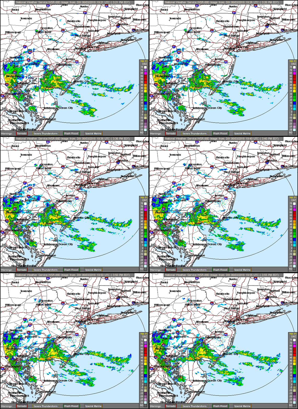
Late this week, we get back on track towards typical April weather; with upper 50's to low 60's expected, and multiple chances for showery periods down the road. Again, I see nothing extreme ahead as far as warmth OR cold, just a steady path towards May and your typical NYC spring.
Please note that with regards to any tropical storms or hurricanes, should a storm be threatening, please consult your local National Weather Service office or your local government officials about what action you should be taking to protect life and property.
Posted from my blog with SteemPress : https://www.nycweathernow.com/strong-low-pressure-makes-close-nyc-run-midweek/
Congratulations @joewxman! You have completed the following achievement on the Steem blockchain and have been rewarded with new badge(s) :
You can view your badges on your Steem Board and compare to others on the Steem Ranking
If you no longer want to receive notifications, reply to this comment with the word
STOPTo support your work, I also upvoted your post!
Vote for @Steemitboard as a witness to get one more award and increased upvotes!
Downvoting a post can decrease pending rewards and make it less visible. Common reasons:
Submit