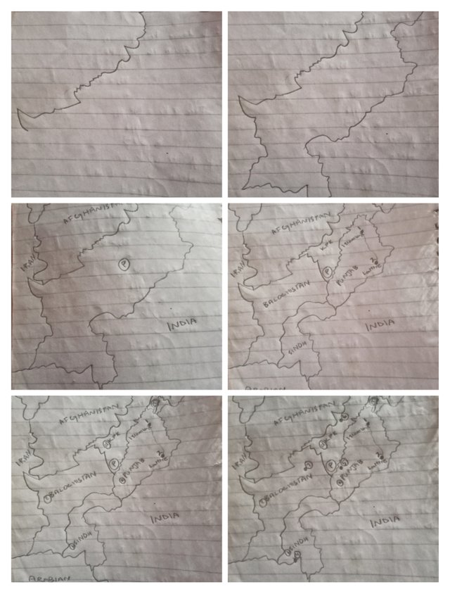
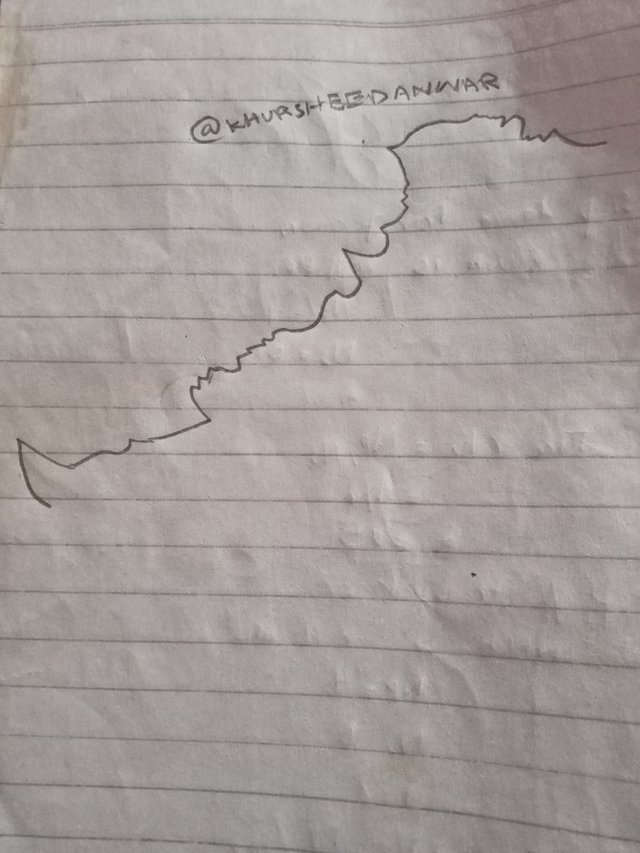
Creating upper part of Pakistan map
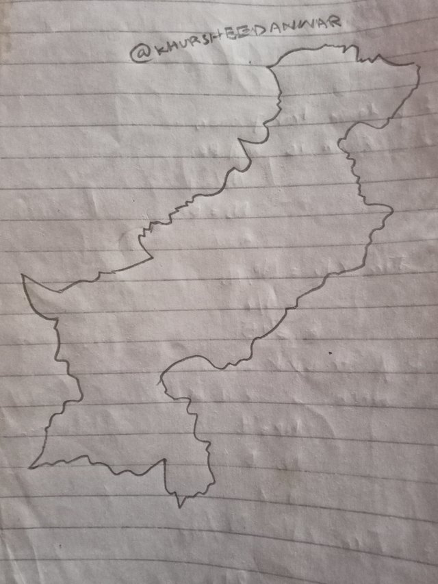
Creating lower part of Pakistan map
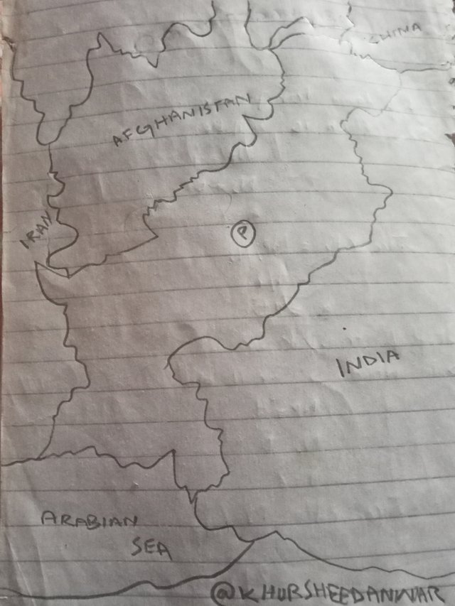
Labelling Pakistan map and surrounding countries and states
Final map of Pakistan you can see that is freely created with my hands!
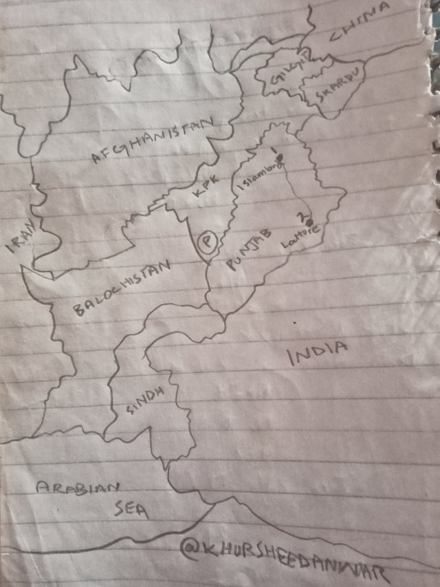
Islamabad (1),Lahore (2) located in map
As capital of Pakistan Islamabad that's why I have located in map above by naming it as point a and similarly I live in Lahore city in province Punjab that's why I located Lahore city as point 2 in map!
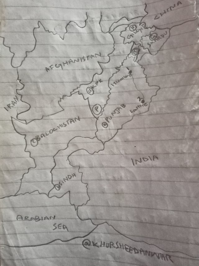
A=Punjab
B=Sindh
C=Balochistan
D=KPK
E=AJK
F=Gilgit
G=Skardu
I have look at it different places including first of all provinces and then some states that I really know by heart that where these are located in map of Pakistan. I have denoted each place with ABCDEFG wish you can clearly see in the drawing of map!
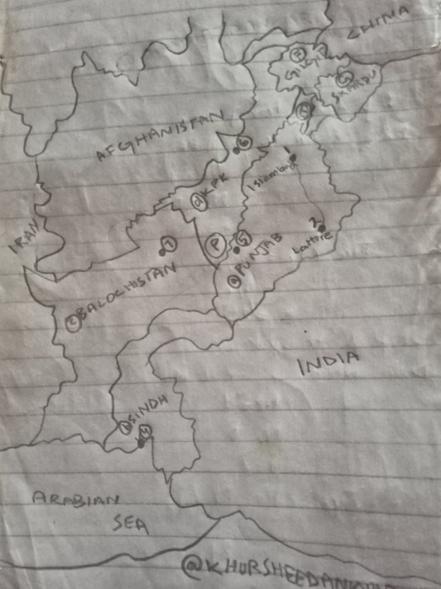
4=Port Qasim
5=Peshawar
6=Sibbi
Above in the map I have located at these points with four five six labels!
Reasons of visiting these areas
• I don't know about port Qasim and I want to know more about it as this is an industrial hub and major way of trading in Pakistan that's why it is one of the most important place for Pakistan economy that's why I would really love visit this place.
• Peshawar is another place that I have shown and denoted in map which I really love to visit because of culture of people of that area and because of their most famous cuisine in all over the Pakistan.
• Sibbi is another place which is considered most hot area located in Pakistan but I would love to visit that area so that I may know more about it and so that I may enjoy cultural designs and embroidery of that area as it is also famous in all over the Pakistan.
There are some of the Northern areas which I love to visit more but most of them I have visited and I know about them that's why I have not mentioned them here!
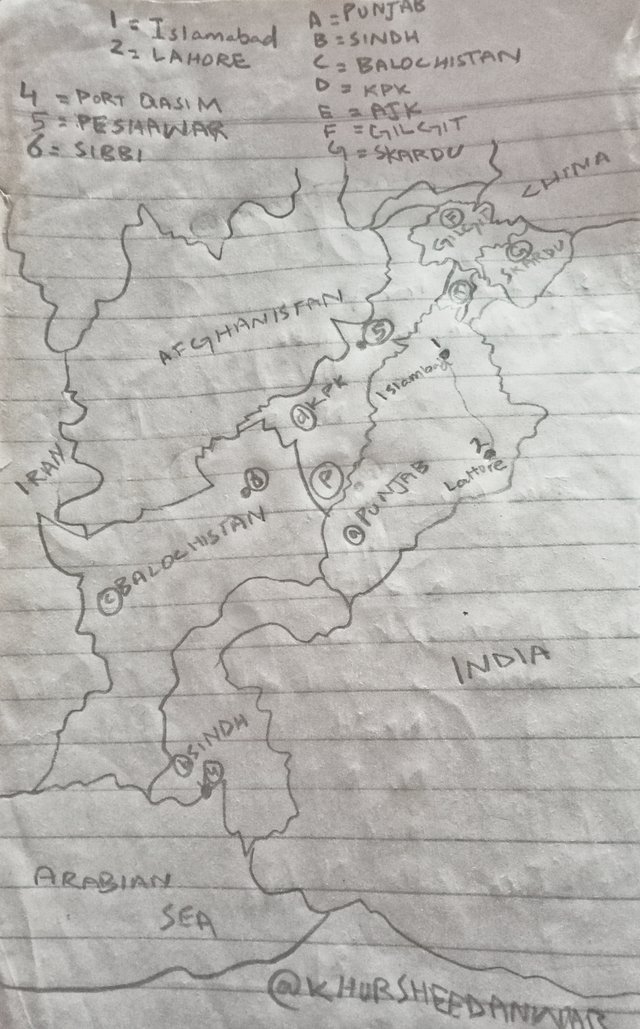
This final map with labelling of all points located in map according to requirement!
If I talk about map for me then this is basically representation of particular area which shows relationship between elements like roads landmarks as well as important geographical features. This is basically depiction of space by the use of different colours labels and symbols for conveying information of different areas states and departments located in a particular country area or in all over the world.
If I talk about types of maps then they can be physical like at printed chart or in the form of drawing as I have shown you physical map which is in the form of drawing as well as they can also be digital like they will be found at GPS devices or other online platforms.
If I talk about most common uses of map then this is basically used for navigation, education planning and helping users to understand and be interactive with their surroundings. So this is all about importance of map and a brief explanation.
If I talk about most important elements for understanding map along with their reasons then these are below;
• First of all there is legend or key which is useful for explaining symbols colours and observations present in map so it is one of the most important component.
• Scales are also important in map because they are useful for representing relationships in between distances at map or distance that are actually present.
• If I talk about orientation then it is an indication of direction at map like north, south, east and West directions by the uses of compass rose or North arrow.
• If I move further then griho is important and helpful for locating points by the use of different coordinates which can be longitudinal or latitude.
• If I talk about labels and annotation then these are helpful for providing data about names of different cities rivers and mountains that are locating in a map.
• If I talk about projections then they can never been neglected in map because these are useful for affecting that how surface of earth is representing at flat surface like Mercator.
• If I talk about another important thing then this is index which is useful for listing places or featuring other important data.
Importance
• Understanding all these elements are important because it is helpful for navigating and locating different places specifically.
• It is useful for providing context and meaning to map contents that's why their understanding is important.
• These are really important for facilitating the comparison and analysing different maps and data that's why their understanding is important according to me.
By having an understanding of all these elements you can understand the maps for different purposes for which you want!
If I talk about definition of cartography then this is basically to study and to practice maths making which can be physical or digital so I daily consider it very important because of the following reasons I am mentioning below;
• Maps are helpful in navigating and understanding spatial relationships in facilitation of transport, trade and tourism that's why it's study and its making its really important.
• Maps are important in urban planning which gives surety of true usage of space, developing of infrastructure and response planning in emergency situation.
• Cartography is really important because it is helpful in analysing and in management of natural resources, to track change of climate and to predict in advance if natural disasters are coming.
• Cartography also has social and cultural significance in away that through maps historical and cultural data that provides an outlook of past and helps for collecting heritage can remain preserved.
• Cartography is also important because it can define identification of community like through maps we can know about territorial boundaries, we can reinforce national or local identifications,for fostering cohesion of community.
• Cartography is also have important role in field of technology by providing an information at effect of satellites at our planet and also in educational field it has importance!
I want to invite here @kouba01,@walidct,@pelon53 to participate!