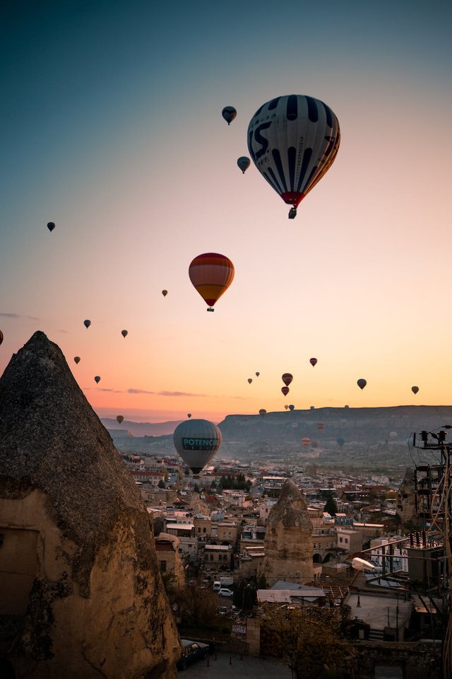
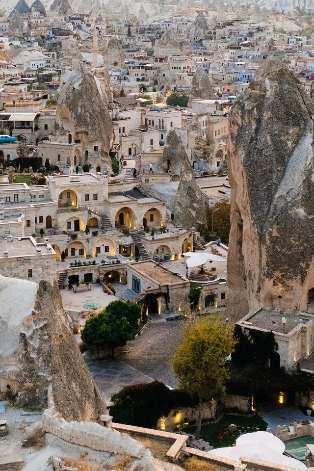
Cappadocia is the region that emerged when the soft layers formed by lava and ashes erupted by Erciyes, Hasandağı and Göllüdağ 60 million years ago were eroded by rain and wind for millions of years.

The name of Cappadocia is the oldest BC. It appears in Persian sources in the 6th century. The origin of this name, known as Katpatuka, is uncertain. Some experts have suggested that it means "Low Country" in the Luwian language. But later researches show that the adverb "katta", meaning "down, below", is Hittite, and the Luwian equivalent is "zanta".
Although it is said to be in Persian as the "Land of Good Horses", Photographer Ozan Sağdıç stated that he invented this idiom when he learned that the generals would ban the name Cappadocia because it is Greek, during the 12 September period[1]. Also, the Persian word "Huv-aspa" means "land of good horses".
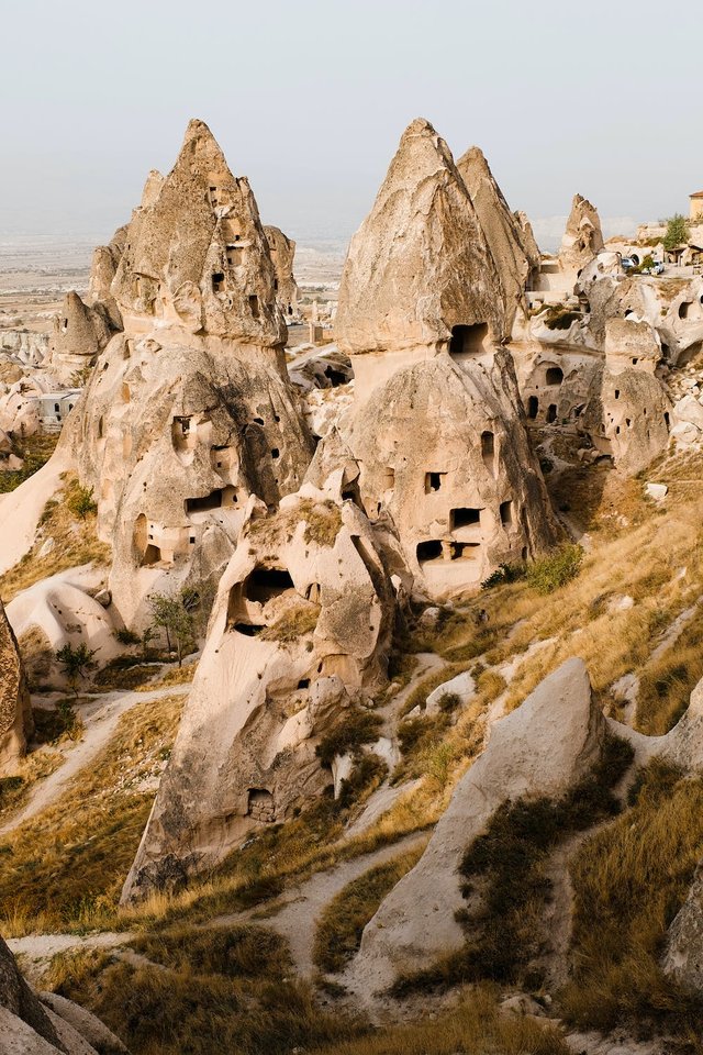
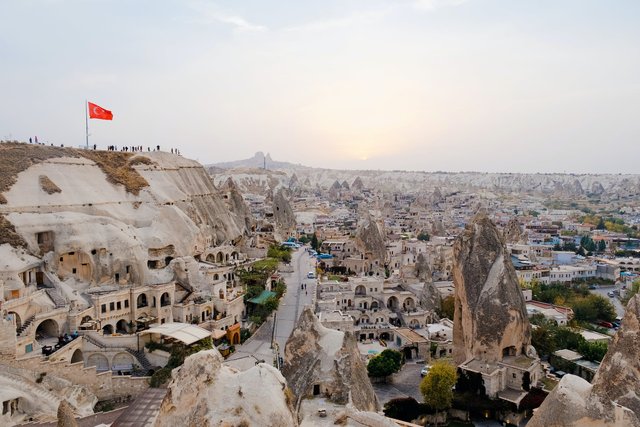
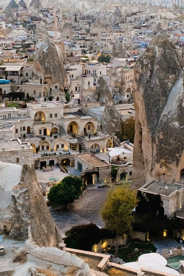
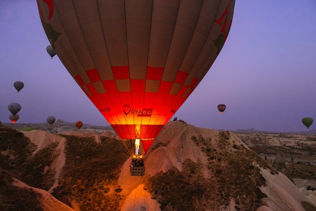
Human settlement dates back to the Paleolithic period. The lands inhabited by the Hittites became one of the most important centers of Christianity in later periods. Houses and churches carved into the rocks made the area a huge shelter for Christians fleeing the oppression of the Roman Empire.
The geographer Strabo also mentions the borders of Cappadocia in his book "Geographika" (Geography-Anatolia XII. XIII, XIV) written during the reign of Roman Emperor Augustus. According to this description, Cappadocia stretched to the Taurus Mountains in the south, Aksaray in the west, Malatya in the east and the Black Sea in the north. Today, the region called Cappadocia is a region where geographical formations are concentrated in an area of 250 km² and spread to the provinces of Kırşehir, Niğde, Aksaray and Kayseri, especially Nevşehir. The most visited regions are; Uçhisar, Göreme, Avanos, Ürgüp, Derinkuyu, Kaymaklı and Ihlara.
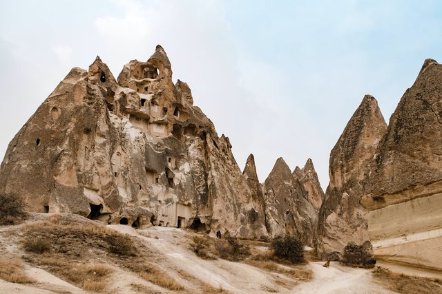
Cappadocia region is a place where nature and history are integrated. While geographical events were creating the Fairy Chimneys, people carved houses, churches and monasteries inside these fairy chimneys, and decorated them with frescoes and brought the traces of thousands of years of civilizations to the present day. The written history of Cappadocia, where human settlements date back to the Paleolithic period, begins with the Hittites. Cappadocia, which has hosted trade colonies throughout history and established a commercial and social bridge between countries, is also one of the important crossroads of the Silk Road.
With the collapse of the Hittite Empire in the 12th century BC, a dark period begins in the region. During this period, the late Hittite Kings, who had Assyrian and Phrygian influences, dominated the region. These Kingdoms last until the Persian invasion in the 6th century BC.
Alexander the Great defeated the Persians in 332 BC, but met with great resistance in Cappadocia. In this period, the Kingdom of Cappadocia is established. Towards the end of the 3rd century BC, the power of the Romans began to be felt in the region. In the middle of the 1st century BC, the Kings of Cappadocia were appointed and dethroned by the power of the Roman generals. When the last Cappadocian king died in 17 AD, the region became a province of Rome.
Christians came to Cappadocia in the 3rd century AD and the region became a center of education and thought for them. Between the years 303-308, the pressure applied to the Christians increased. But Cappadocia is an ideal place to be protected from oppression and to spread Christian teaching. Deep valleys and bunkers carved from soft volcanic rocks create a safe haven against Roman soldiers.
Location of Cappadocia Region in Anatolia
The 4th century becomes the period of the people who were later called the "Fathers of Cappadocia". But the importance of the region, III. It climaxes when Leon bans icons. In the face of this situation, some pro-icon people begin to take shelter in the region. Iconoclasm movement lasts more than a hundred years (726-843). Although a few Cappadocian churches were under the influence of Iconoclasm during this period, those who were in favor of the icon continued to worship comfortably here. Cappadocia monasteries flourished in this period.
Again, during this period, Arab raids began in the Christian regions of Anatolia from Armenia to Cappadocia. The people who came to the region by fleeing from these raids caused the styles of the churches in the region to change. In the 11th and 12th centuries, Cappadocia passed into the hands of the Seljuk Dynasty. During this and the following Ottoman times, the region had a trouble-free period. The last Christians in the region left Cappadocia after the population exchange in 1924-26, leaving beautiful architectural examples behind.


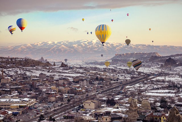

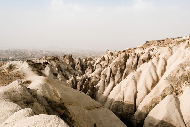
60 million years ago, in the 3rd geological period, the Taurus Mountains rose. With the compression of the Anatolian Plateau in the north, the volcanoes became active. Erciyes, Hasandağı and Göllüdağ, which is between the two, spewed lava into the region. The ash deposited on the plateau formed a soft tuff layer. The top of the tuff layer was covered with a thin layer of lava consisting of hard basalt in places. The basalt cracked and broke into pieces. Rains seeped through the cracks and began to erode the soft tuff. Heating and cooling air and winds also participated in the formation. Thus, cones with caps of hard basalt rock were formed. The people gave a name to these different and interestingly shaped rocks: "Fairy Chimney".
The tuff plates without basalt cover turned into valleys by erosion. Interesting shape. Later, human hand, labor and emotion were put to work. From the settlements dating back nine to ten thousand years to the churches carved into the rocks by the first Christians, to the great and secure underground cities, a great civilization was created over a long period of time.


Main sights of Avanos, Ürgüp, Göreme, Akvadi, Uçhisar and Ortahisar Castles, El Nazar Church, Aynalı Church, Pigeon Valley, Derinkuyu, Kaymaklı, Özkonak Underground Cities, Ihlara Valley, Selime Village, Çavuşin, Güllüdere Valley, Paşabağ-Zelve Anapınar Village are the required places. Traditional Cappadocia houses and pigeon houses carved into the rocks show the authenticity of the region. These houses were built on the slopes in the 19th century either from rocks or from cut stone. Stone, which is the only architectural material of the region, can be processed very easily because it is soft after coming out of the quarry due to the volcanic structure of the region, but after contact with air, it hardens and turns into a very durable building material. Due to the abundance of the material used and its easy processing, stonework, which is unique to the region, has developed and become an architectural tradition. The material of both the courtyard and the house doors is wood. The upper part of the arched doors is decorated with stylized ivy or rosette motifs. The dovecotes in the region are small structures built in the late 19th and 18th centuries. The surface of the dovecotes is decorated with rich ornaments and inscriptions by local artists. The region is also famous for its winemaking and grape growing.

