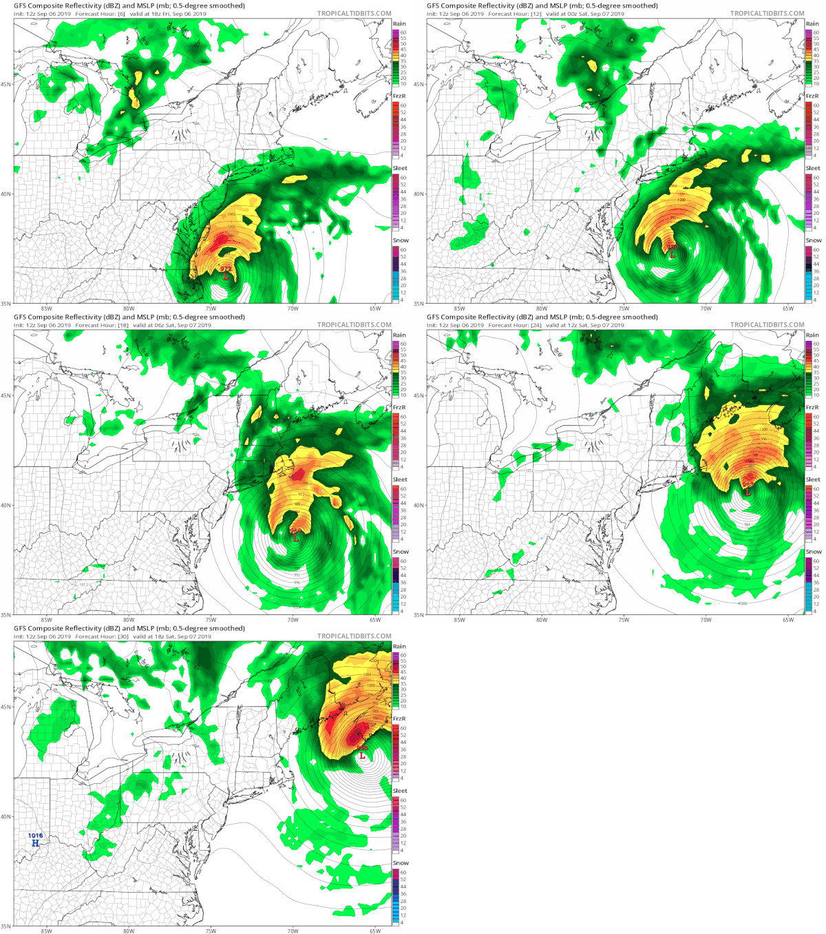
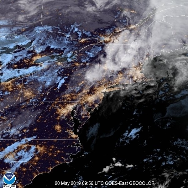
Hurricane Dorian is now off the North Carolina coast and is moving to the northeast. While the hurricane will remain well offshore as far as the core is concerned, it continues to expand in all directions as noted by the cloud cover on the satellite picture below. The center remains well defined but the expanding nature of the storm has brought the rain shield to Long Island. Look for some rain this afternoon into tonight. The rains aren't particularly heavy. The heaviest rains will remain offshore. We think rain fall amounts will be under a quarter of an inch for most but higher amounts are likely from Riverhead east where you will be a little closer to the storm's center. The hurricane is going to pass more than 200 miles to the south and east.
SATELLITE
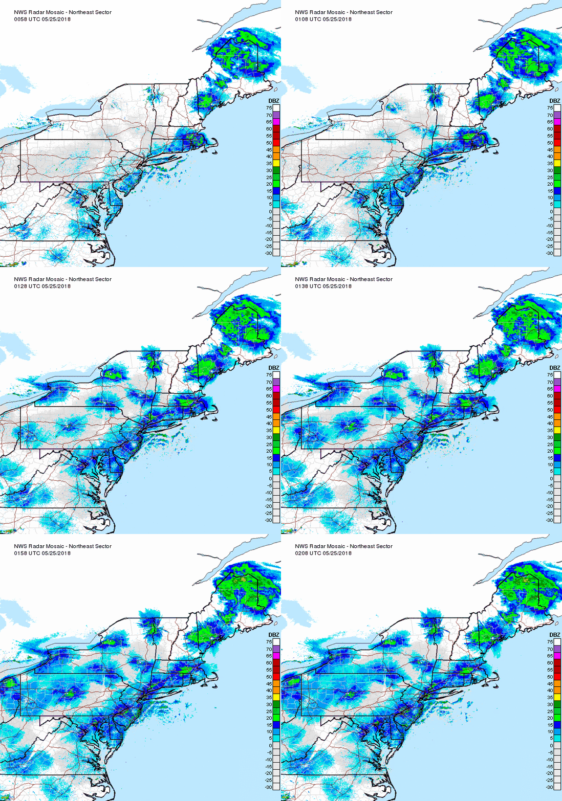
Regional radar shows the western semi-circle with the center evident right on the edge of the radar range. The northern bands coming in from the south east are hitting some drier air overhead which has minimizes the volume of rain to an extent. Local radars show the rain over Long Island but the northern extent cuts off close to NYC & Southern Connecticut.
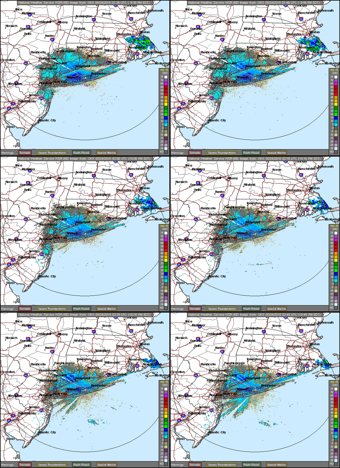
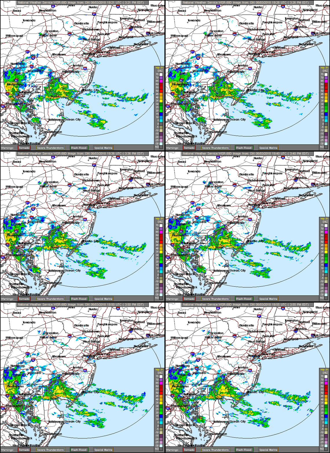
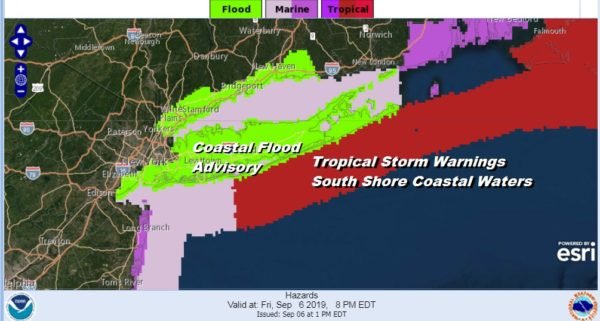
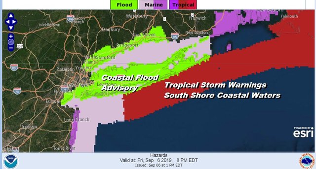
We do have Tropical Storm Warnings for the Atlantic Ocean coastal waters along the south shore as winds will reach tropical storm force over the open ocean. Some gusts to gale force are possible right along the beaches. We also have Coastal Flood Advisories for both the north and south shore for some minor coastal flooding at high tide.
Dorian will be parallel to Long Island by Saturday morning 8am well to the east of Montauk. Gales will be just offshore but by this time the rain will be long gone and weather conditions will be improving Saturday with a mix of sun and clouds and highs will be in the 70s.
Sunday and Monday look good with some sunshine both days with a few clouds. Sunday's highs will be in the middle 70s. The flow turns onshore Sunday night and Monday which will hold temperatures back Monday with highs in the low 70s. No rain is forecast from Saturday through at least next Tuesday.
Please note that with regards to any tropical storms or hurricanes, should a storm be threatening, please consult your local National Weather Service office or your local government officials about what action you should be taking to protect life and property.
Posted from my blog with SteemPress : https://www.weatherlongisland.com/dorian-moving-northeast-rain-bands-over-long-island/
