The story of the ferocity of the tsunami that struck Aceh 11 years ago still continues to ring. Not just stories from mouth to mouth or from mass media, a number of areas in Aceh affected by the tsunami left many traces. One of them is in Aceh Jaya.
Aceh's west coast is worst affected by tsunami. Starting from Banda Aceh, Calang, to Meulaboh and so on. All these areas are destroyed not left. However, decades later, the west coast of Aceh became a very beautiful tourist area. The view is not inferior to the tour to Europe.

In 2013, my husband and I and Sofyan's family explored the west coast of Acah. We start from Banda Aceh by private car. The road we took was the road leading to calang then Meulaboh and down the west coast of Aceh. I did not meet a public transport passing by. The roads on the west coast tend to be quiet and mostly filled with cows: p

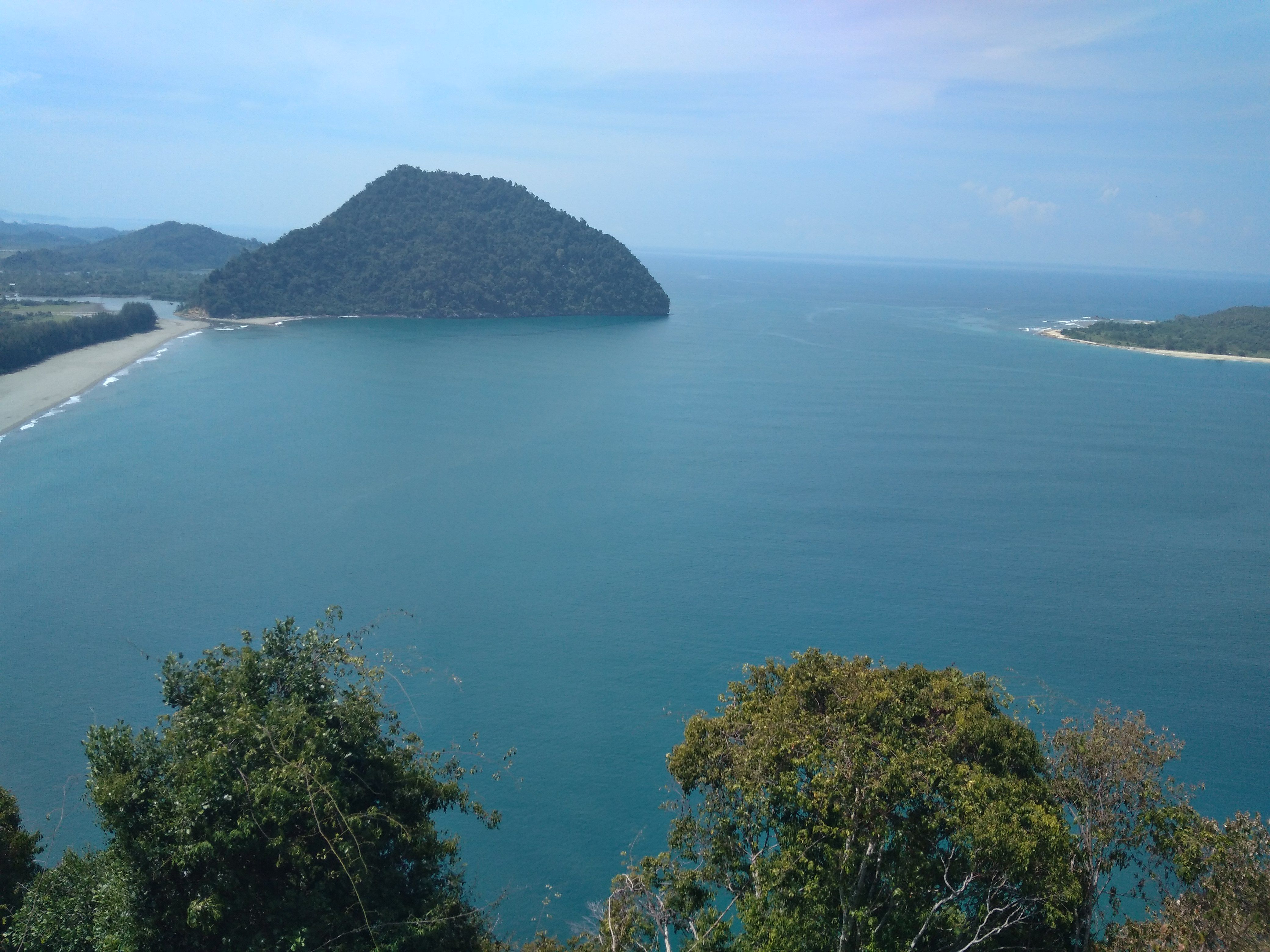
Our goal is to see the tsunami island in the glorious Aceh district. This island can be seen dihat from Mount Geurutee. The island is called the tsunami island, because the land of Ujong Sudheun is separated several meters by a magnitude 9.1 magnitude earthquake of the USGS. This separate land became an island. Locals call this island as the island of Sudheun or tsunami island or
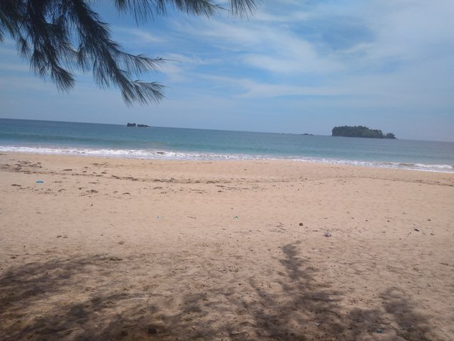
Crossing the west coast of Aceh will be treated to a magnificent view, the west facing directly to the white sandy beaches and the Indian Ocean. In contrast to other beaches, on the beach is actually overgrown with pine trees. While the east of the hill and high cliffs.

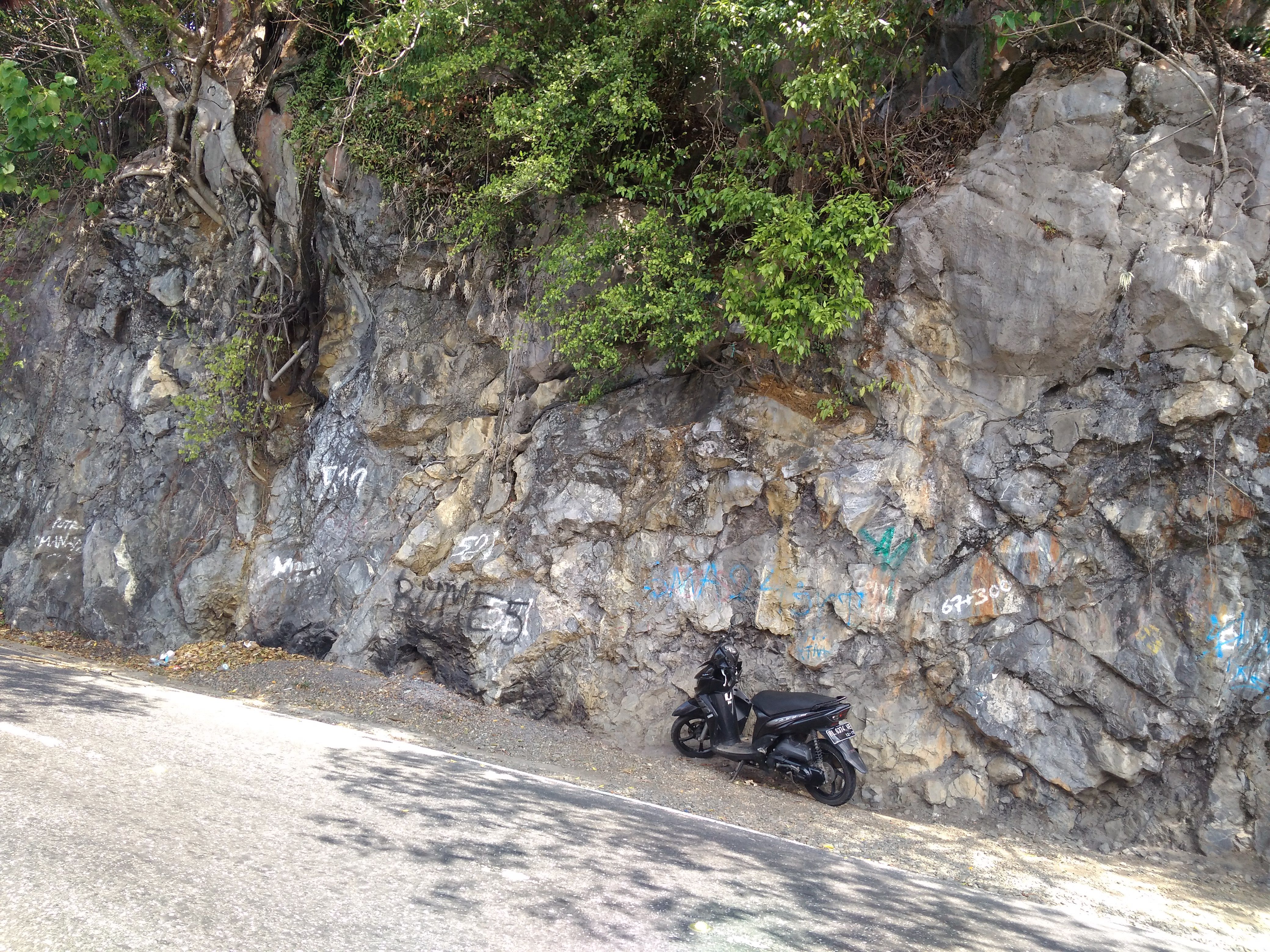
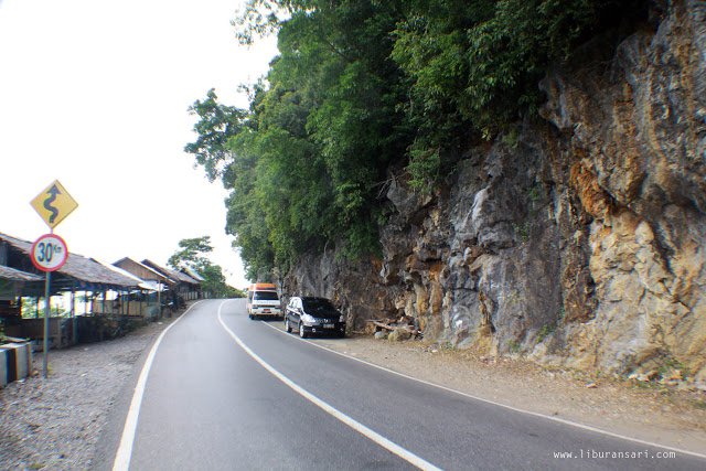
When I visited, the road on the west coast of Aceh was good and smooth. Roads and bridges that had been damaged and impassable due to the tsunami of the road, are now in the making of new ones. This road is no longer on the shore like before the tsunami. But rather inside. Even to make access road, must split the hill. This makes the scenery more beautiful across the west coast of Aceh.

Currently what remains of the tsunami is the fertilizer plant damaged by the tsunami. This factory is left standing, but it is not operating.
About 3 to 4 hours, we entered the glorious region of Aceh. We passed the stalls that many lined the edge of the cliffs to the sea. The scenery is a beautiful Indian and a beautiful island. Soon we reached the mountain of Geurutee. From this mountain, I see Sudheun island that is located not far from the mainland. The view from the top is very beautiful. Green pastures and spruce trees lie underneath.

Cattle ranchers use these green pastures to release their domestic cows. While on the beach made lobster breeding place by the fishermen.
To reach Pulau Sudheun takes about 15 minutes using a fishing boat with a motor engine. On this island still found the remains of the foundation of school and home residents. But the island is now no longer in place.

If you stop by banda Aceh, there is nothing wrong to walk along the west coast of Aceh. This area will continue to remind, how terrible the brunt of the tsunami that hit Aceh at the end of 2004.
the natural beauty of Meulaboh.
FOLLOW&VOTES
@FIKARVOX