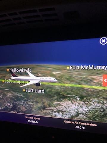
Thanks to a wonderful friend, who flew home recently from India, and graciously watched the onboard simulator at my request, we have these fascinating photographs of the flight route to share. This is a very long flight, but our man stayed awake to capture the highlights. Remember, these pictures detail the 'actual' flight route, but on Air Canada's version of a fake ball Earth map, which is grossly distorted, and can be confusing for newbies.
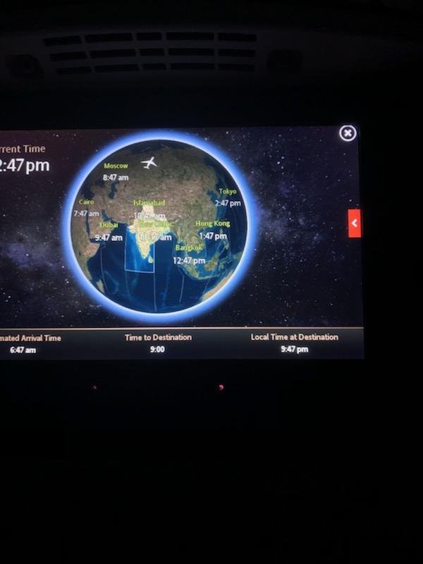
In the first shot we see the CGI 'globe' and the cartoon plane headed due north to the pole (and not East along the equator).
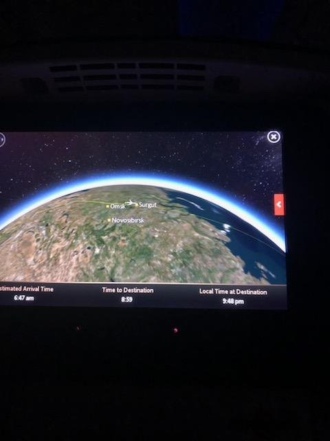
In this next shot the flight is near a town in Russia called SERGUT; this point measures 4100 kilometers from Mumbai on Google Maps.
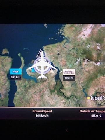
Next a city called NORIL'SK (lower right corner) appears, which measures 1100 kilometers from Sergut. This shot is fuzzy but we can see there is a marker indicating the plane appears 418 kilometers from Noril'sk. Wiki says Norilsk is an industrial city in Krasnoyarsk Krai, Russia, located above the Arctic Circle, east of the Yenisei River and south of the western Taymyr Peninsula.
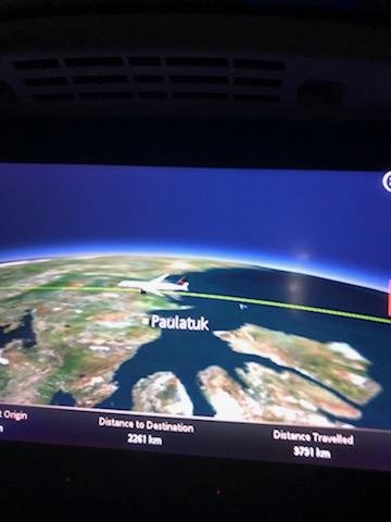
In the next shot the flight is crossing water (pilots are looking into the abyss lol), and the town on horizon is called PAULATUK. From Wikipedia .. Paulatuk is a hamlet located in the Inuvik Region of the Northwest Territories, adjacent to Darnley Bay, in the Amundsen Gulf. Newbies please goto Google Maps to SEE where these towns are positioned on the fake ball Earth and then ask yourself, why is this flight from Mumbai to Vancouver ROUTING over Noril'sk Russia and Paulatuk, N.W.T.?
These last two shots portray the flight splitting Yellowknfe and Whitehorse in Canada's far north before descending into Vancouver.
.jpg)
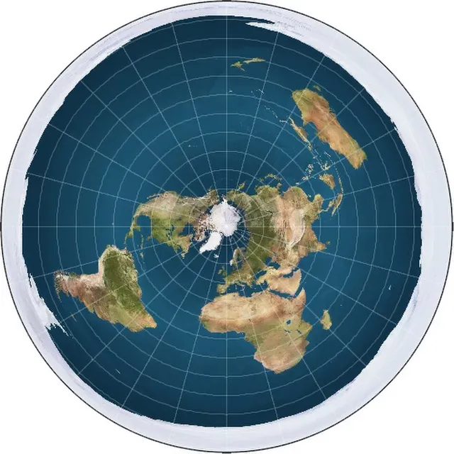
So obvious it's painful! If you have time, go to Google Maps and drop on a PIN on the towns revealed in the flight simulator and then plot the flight on the Azimuthal Map, here:
Cheers everyone and a BIG thank you to KRE.
For more observations of the flat Earth in plane view please visit our Blog at www.GalileoLied.com