Destino Punta Cana - Destination Punta Cana
Cuando me asomé por la ventana y vi esa locura de paisaje, no lo podía creer. Me habían comentado que se veía la isla de Cuba completa (sé que es otra), así que me asomé con la esperanza de ver algo.
Resulta que terminé sorprendida y prendida a la cámara, pegada a la ventana, sacando fotos sin parar.
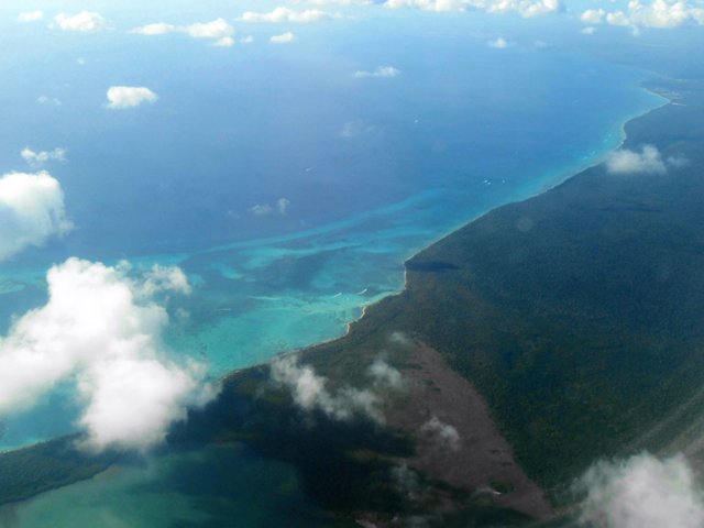
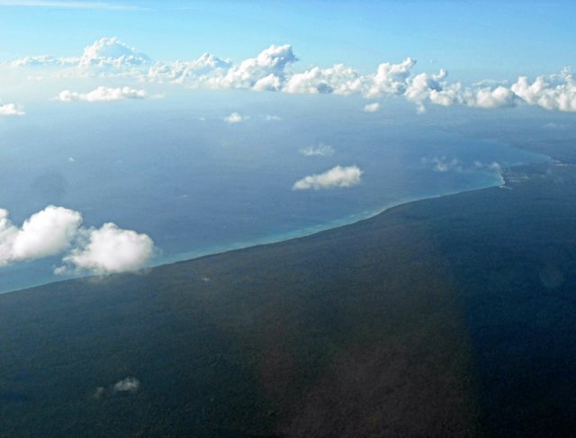
Este es el costado Este de la Isla de República Dominicana, cuya capital es Santo Domingo.
Su superficie es de 48.442 km², siendo el 14° país más pequeño del continente americano.
La foto infaltable con el ala del avión.
The infallible picture with the wing of the plane
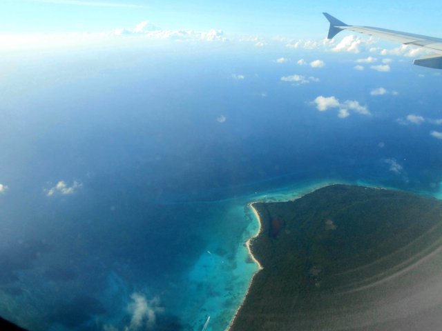
When I looked out the window and saw that crazy landscape, I couldn't believe it. I had been told that the whole island of Cuba (I know is another one) was visible, and I looked out hoping to see something.
It turns out that I ended up surprised and pinned to the camera, glued to the window, taking photos without stopping.
This is the East side of the Island of the Dominican Republic, whose capital is Santo Domingo.
Its surface is 48,442 km², being the 14th smallest country in the American continent.
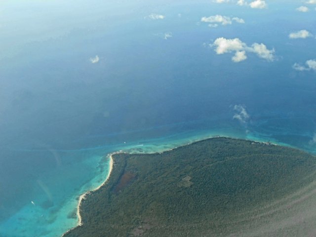
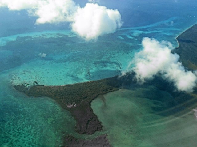
Entre Isla Saona y la Isla de República Dominicana propiamente
Between Saona Island and the Dominican Republic Island
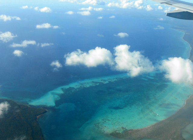
República Dominicana se encuentra rodeada del Mar Caribe al sur y el Océano Atlántico hacia el noreste.
Sin embargo, como es un conjunto de islas donde se encuentra el país en cuestión, las características que adopta el agua proveniente del Atlántico se asemejan enormemente a las del Mar Caribe.
Por ello, las costas de esta isla, son espléndidas en su totalidad.
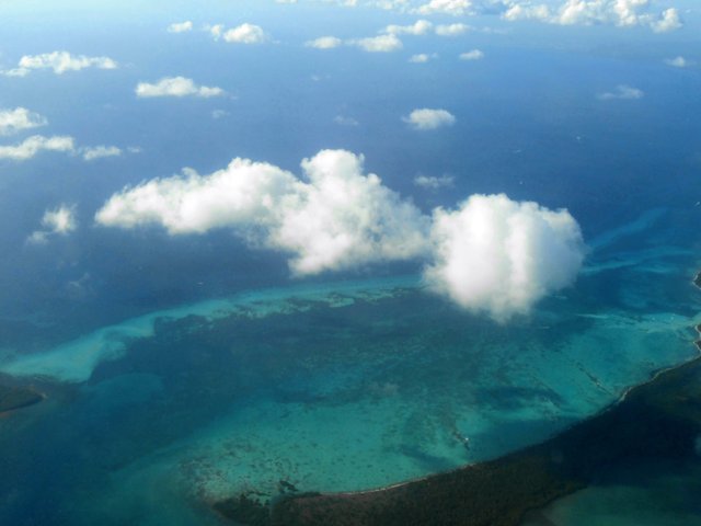
The Dominican Republic is surrounded by the Caribbean Sea to the south and the Atlantic Ocean to the northeast.
However, as it is a group of islands where the country in question is located, the characteristics adopted by the water coming from the Atlantic are very similar to those of the Caribbean Sea.
For this reason, the coasts of this island are splendid in their entirety.
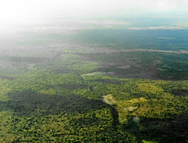
Ingresando al área de superficie terrestre
Entering the land surface area
Bonus image
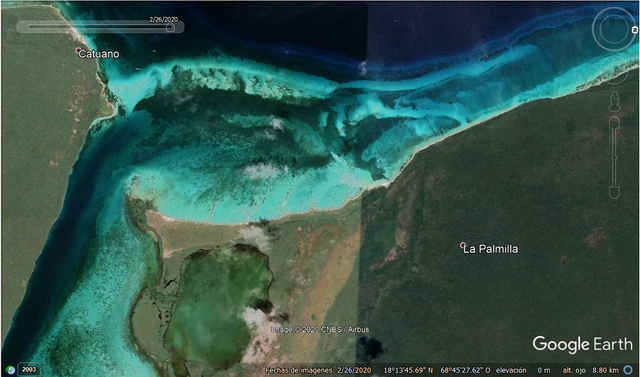
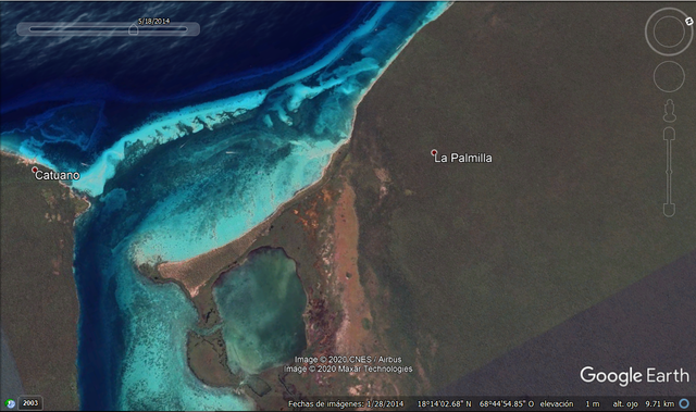
Como buena Geógrafa, me he puesto ahora mismo, para hacer esta publicación, a navegar en Google Earth para ver si encontraba la misma imagen.
Y si, acá hay una toma correspondiente al 2020, y otra que data de 2014. Como mencioné, utilicé Google Earth para esto y la función de historial para encontrar una fecha lo más cercana posible a mis tomas.
As a good Geographer, I've started right now, to make this publication, to navigate in Google Earth to see if I found the same image.
And yes, here it is a shot corresponding to 2020, and another one dating from 2014. As I mentioned, I used Google Earth for this work, and the history function to find a date as close as possible to my shots.
2020
2014
Este fue el mismo viaje que corresponde a la publicación "Fotografía Aérea #1", que podés leer aquí: https://steemit.com/photography/@belenguerra/fotografia-aerea-1-aerial-photography-1
Fue en 2015.
Todavía no me había comprado la cámara semi profesional, por lo que tomé las fotos con una Nikon, cuyo modelo no puedo recordar.
It was the same trip that "Aerial photography #1" tha you can read here: https://steemit.com/photography/@belenguerra/fotografia-aerea-1-aerial-photography-1
It was in 2015.
But I hadn't bought my semi- professional camera, so I took this pictures with a Nikon, but, so sorry, I can't remember its model.
You have been upvoted by cryptokannon a Steem Greeters from STEEM POD Project and we are voting with the Steemit Community Curator @steemcurator03 account to support the newcomers coming into steemit.
Follow @ steemitblog for the latest update on Steem Community and other writing challenges and contest such as #theshoppinggame #thelucky10s and #thediarygame Season 2 that will start in August.
Downvoting a post can decrease pending rewards and make it less visible. Common reasons:
Submit