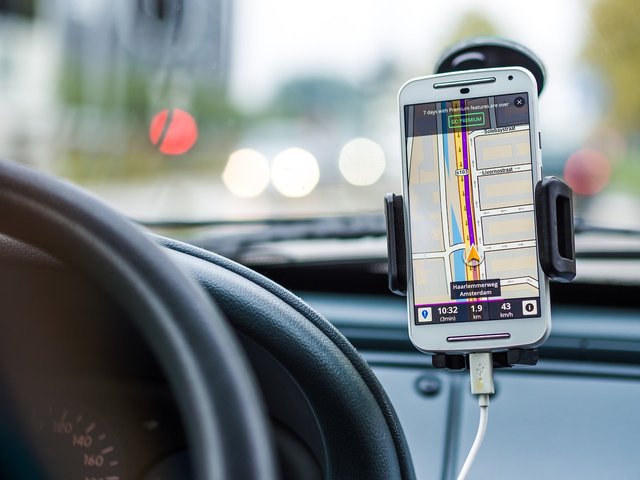
Modern GPS devices, thanks to the location of their position, are not only suitable for planning hiking routes and tours. The user also receives additional information about the distance traveled, the determination of distances and the walking speeds.

General GPS data
In contrast to GPS in cars, outdoor GPS has completely different requirements for hiking, as a lot of value is attached to a long battery life. For this reason, you should always carry spare batteries with you on particularly long hikes. Other decisive criteria for a good outdoor GPS are its low weight, but it must also be easy to operate. For every hike in an unknown area you should carry a GPS device. This collects points at regular intervals, which are displayed on the device's display as a "track". If it is necessary to go back for whatever reason, you select the "Track Back" function from the menu and run along the data shown on the display to the starting point of the tour.
Waypoints, routes and route planning
For better orientation, users can mark huts or crossroads as additional waypoints on the way. The new waypoints can be assigned a name or symbol. If several waypoints are lined up, a route is created. If this is called up on the GSP device, a line with the waypoints including distance and direction appears on the display. Depending on the device, the devices can archive a corresponding number of routes. The positions of important points can be stored in the GPS device before the hike. For this you have to enter the coordinates from a map. However, you should first set the coordinate system and date of the map on the GPS device. Tour planning is usually done at home on your own PC or notebook. Digital hiking maps of Germany, Liechtenstein, Austria and Switzerland are available free of charge on the Internet. With the right software you can draw the route on your PC, call up an elevation profile and even apply a three-dimensional or shading to the area.
risks
The GPS is of course a helpful device if you are not familiar with the hiking region. But you shouldn't rely too much on the technology, because when the batteries are empty, you have a big problem. Especially on long hikes you should always carry a map and a compass with you.