Another great weekend was spent among the Wilderness of the beautiful state of Oregon. The longer I stay here, the longer I get my bearings in order to really travel both near and far, and soaking all the beautiness of living among a type of wilderness that I have never known even existed among beings. It Wilderness that I thought only existed in movies and TV. A place where actual Christmas trees grow and fill the air with the scent of pine. A world of waterfalls and mountains, a world of walking trails in to Woods that are not mosquito-infested. Growing up in Florida, it's hard to even fathom that there is a world out there that can be enjoyed outside without melting or being attacked by some sort of blood sucking insects. I wanted to share the 4T trail with you because it was quite the experience. It's definitely not for the light-hearted, being a moderately difficult Trail to climb, and as a beginner, I found that I had some troubles navigating it and wanted to share it with you if you are a novice hiker like myself. Being an inexperienced hiker, before commencing the trip we decided to pack a backpack with two large bottles of water, a few Clif bars, and a blanket. Although we never ate the snacks or used the blanket, it was nice to know that we had it on the trip just in case. We actually probably could have stopped a little bit more during the trip to enjoy our snacks and the beauty, but we just kept trekking forward.
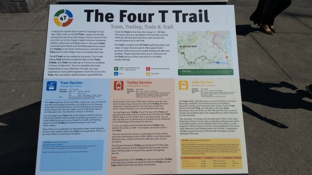
The 4T trail is half urban, half wilderness, that encompasses all the fun of Portlands when it comes to going through the city and also getting a little bit into the outskirts without being completely lost and away from society. It gets you out just far enough to be able to get a taste of what it's like to be a hiker. It is called the 4T trail because it it uses the 4 different ways to traverse the city, train, trail, air tram, and then ending with the trolley. The 4T trail is a very busy one, so if you get lost or turned around, you always have someone passing by that you can ask for help. I actually had to do that a few times while I was on the trail!
Since I already live downtown I started the trail by getting on the trolley a little bit earlier than I was supposed to. I rode the trolley from the Portland Art Museum at Jefferson and SW 10th, down to Target to get on the Max Train, which is at SW 10th and Alder. From there you can get on the max train at Galleria- SW 10th and Morrison. Thank you or we rode the max train through Goose Hollow to the Washington Park tunnel, and rode it to the stop that led to the elevator inside of the tunnel that leads up to the Oregon Zoo. Upon getting off of the elevator and walking about 10ft towards the Oregon Zoo, you come to a sign for the 4T trail.
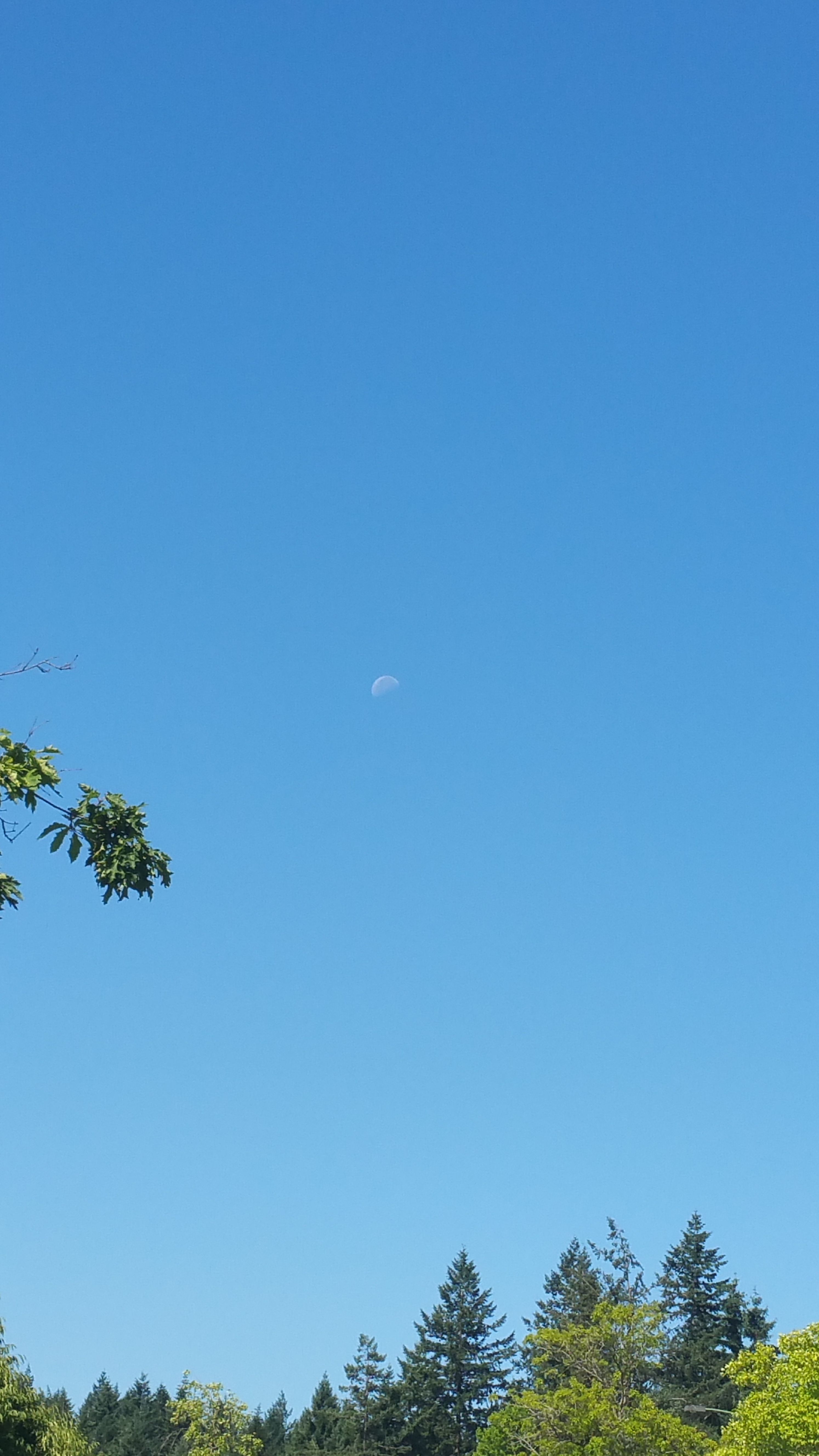
You walk towards the Oregon Zoo and towards US Highway 26 down SW Canyon Road. As we were walking past the Oregon Zoo, we looked up into the sky and noticed that we could see the moon at 10:23 a.m., something that is not regularly seen on the East Coast! Please forgive me if you think this picture is silly, but we were completely amazed that you could see it at this time of day.
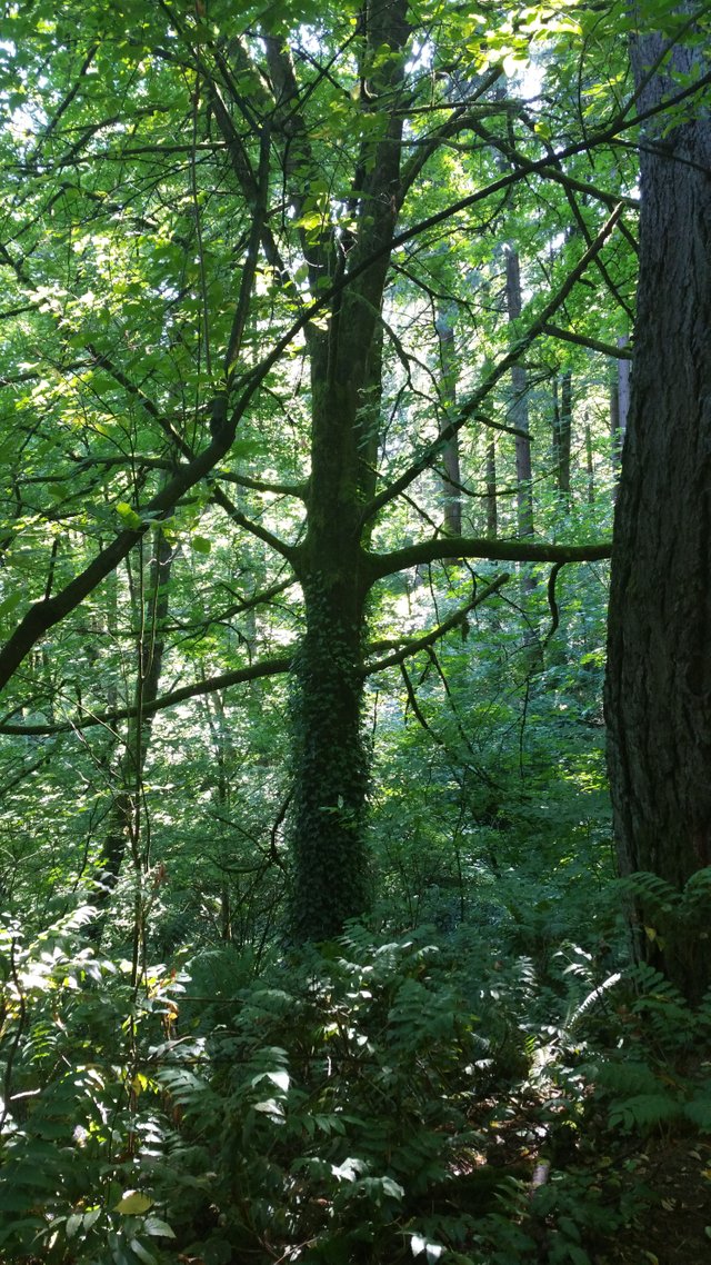
Although it is not clearly marked, you will cross the bridge that leads over US Highway 26, and then you will walk on the actual on-ramp like you're getting on to that Interstate. The entrance to the trail is about halfway down the on-ramp. Once you get to the clearly marked entrance, you become engulfed into the beauty of the Wilderness immediately. As you continue to Traverse the trail, at times there are built-in stairs to help you get up the super steep parts of the Hills. The beginning of this Trail is set to get you to Council Crest Park, the highest point of Portland. I took a few photos and as we walked through the hills on our way to the park.
As we continue to walk up the trail, we could hear rushing water running beside us as there was water coming down the side of the hill. At times the water would cross over the trail and make it very slick, so be careful of slipping in mud while you are out on the trail. The trail finally ended at a busy road, where you would continue up on the trail. It is not clearly marked, so for your knowledge the trail ended at SW Patton Rd. Make sure to make your way to SW Talbot Road ad continue up the hill. At this point there is not a clearly marked walking path or sidewalk so make sure to be careful as you were walking because it is also a heavily trafficked area by cars. I tried to mostly walk on the shoulder of the road in gravel, but was also walking kind of in people's yards at the same time and felt bad. You continue up this road to a point where the road leads off into three separate Forks. You are going to continue on the Marquam Trail, which is paved and looks like a sidewalk that leads up between the forked roads. By continuing on this paved trail you are leading up to Council Crest Park. There is an option about halfway up to continue the trail on an unpaved one that veers off to the right, but we decided to stay on the paved portion as to not get lost. Later before we left Council Crest Park we went back and explored the unpaved trail before going to the other end of the park to get on the continued Trail through the West Hills towards OHSU.
well we made it to the top Council Crest Park, we were greeted with quite a treat. From there you are upfront with spectacular views of Mount Saint Helen, Mount Jefferson, Mount Hood, and you can even see a small part of Mount Rainier which pokes over the left shoulder of Mount Saint Helens! I was able to get some beautiful pictures of the mountains from the top of the area.
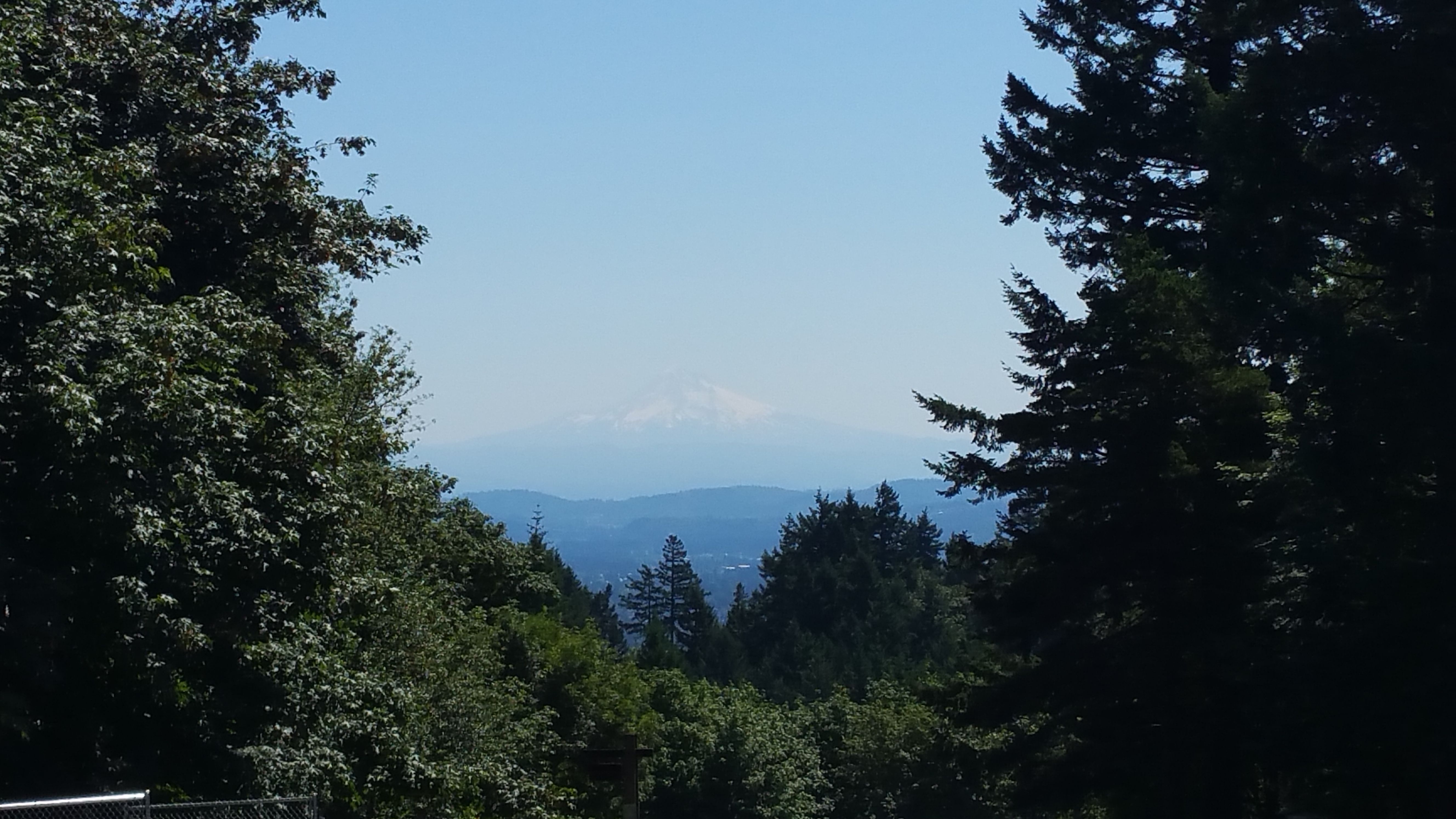
Mt. Hood
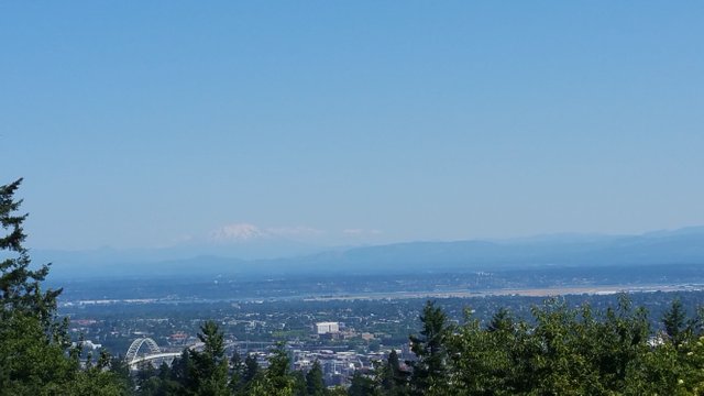
Mt. St. Helens with Mt. Rainier to the left
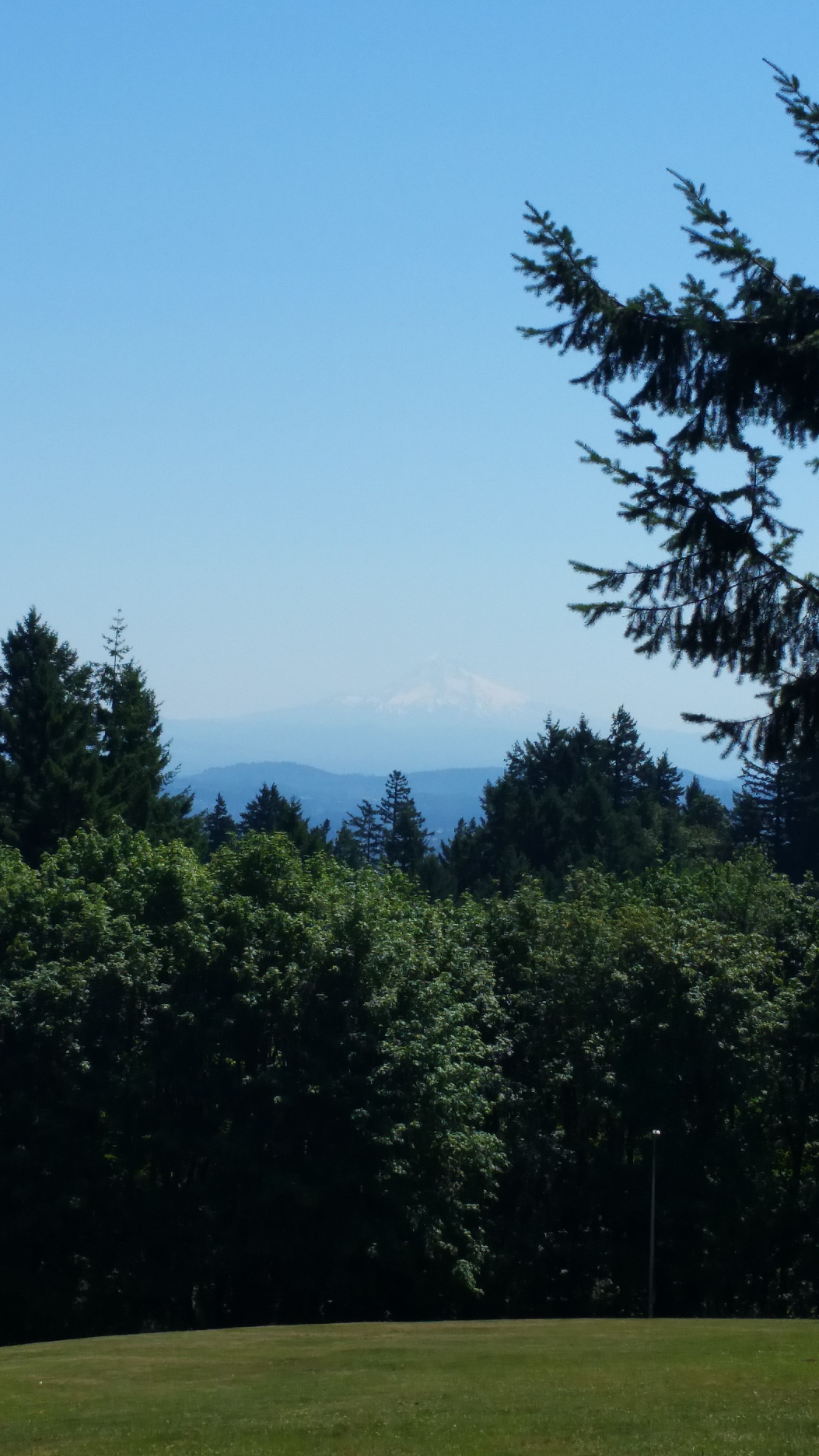
More close up of Mt. Hood
Also at the top of the park there is a finally decorated piano that you can sit down and play if you feel. There was young man up there that played us some nice and relaxing music as we walked around and caught our breath from the hike up.
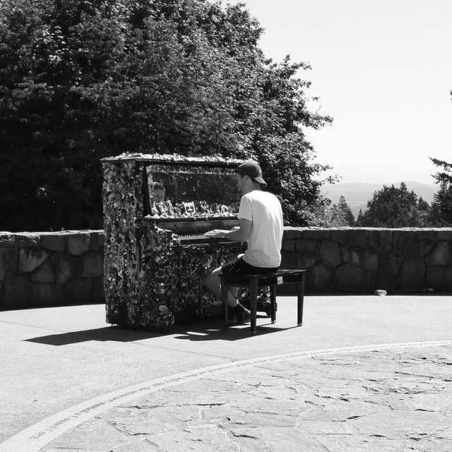
after you are done taking in the view, it is pretty hard to find the entrance of Marqam Trail again. we walked towards the
We walked towards the area where you can let your dog run off of a leash and found the entrance. This is where it gets a little tricky and it is not marked well, so we went towards the Marquam shelter after asking someone else who was walking by. You enjoy several switchbacks as you go down the side of the Hill through a quiet and distinguished neighborhood of log cabins that are built into the hill.
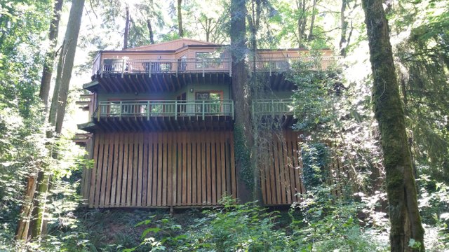
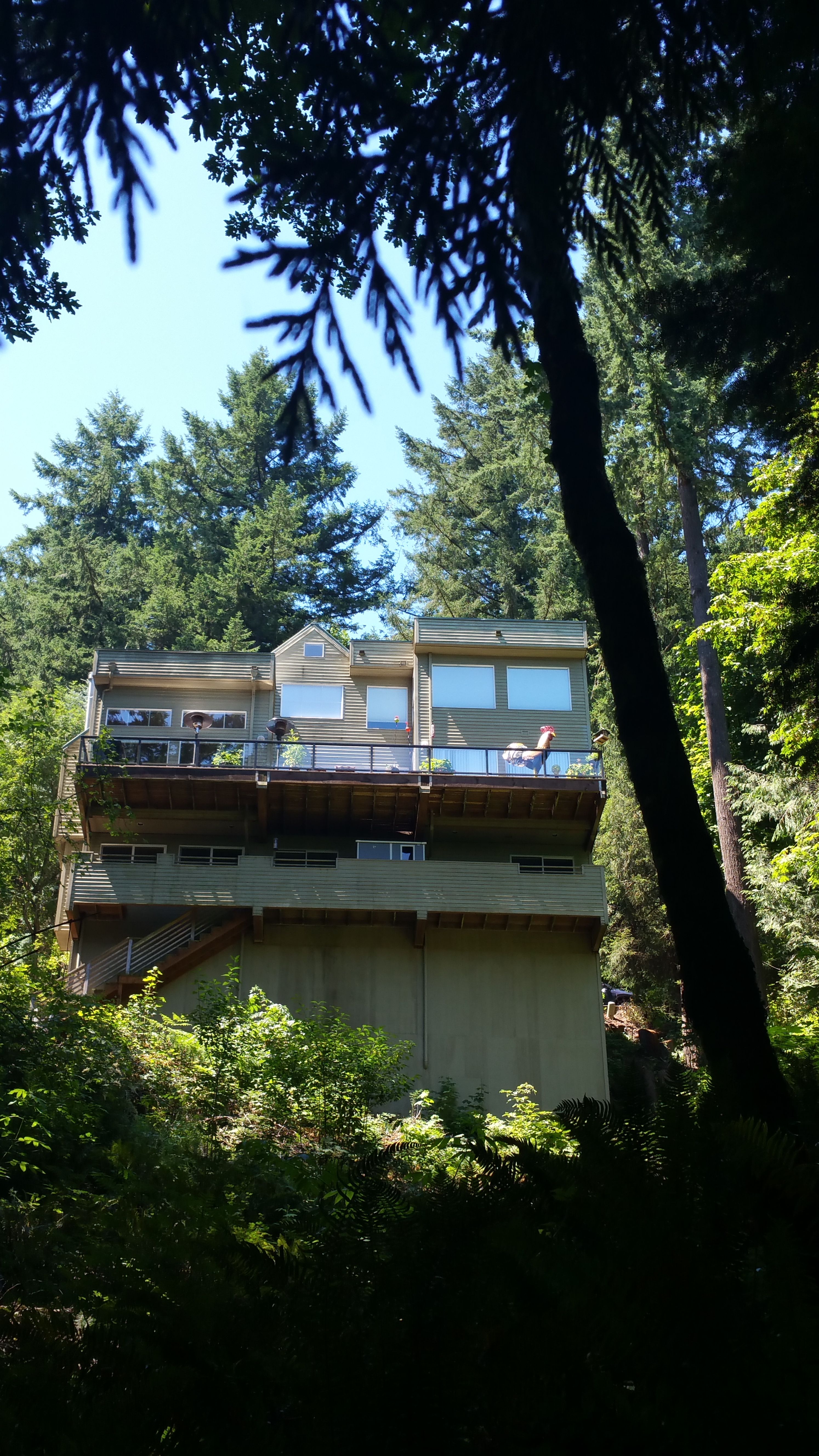
This one had a 5 foot rooster balloon on the porch
If you continue on, you reach another point where you need to carefully cross a busy street, I believe it to be Fairmount Blvd. At this point, I was in such a hurry to cross the road, I actually twisted my ankle, so be very careful. Although my ankle hurt, I continued on to be able to live and tell the tale of the 4T trail. After reaching the Marquam Shelter, it is time to do a series of switchbacks that are of the side of the Hill towards OHSU. The signs have completely been rubbed off from years of Mother Nature, and arrows are drawn onto the sign for which way to go. After some deductive reasoning I figured out that the arrows were absolutely correct, although it does feel a bit sketchy and like someone is trying to mess with you and make you go the wrong way. This is probably the most difficult part of the hike and I had to go up it slowly and was quickly running out of steam from how much we have hiked from this point already. At some point we got off of the 4T trail, and ended up on the Conner Trail, which emptied to a random parking lot behind the hospital. At that point we walk down to a busy road which we discovered was SW Sam Jackson Park Rd, and saw more signs to the 4T trail going down hill. We crossed SW Sam Jackson Park Rd. to follow signs to get on to the air tram. To get on to the air tram, a sign points towards the inside of a building. We got confused and didn’t know if we should enter it or not, then open the door and saw another sign that pointed towards the air tram. At this point you Traverse through the hospital a long way, and kept an eye out for signs every once in awhile that continued to point arrows to get to the AirTram. We finally made it, and boarded. We didn’t have passes to board. I had read and another blog that it only cost money to get to the top of the hill and not to get back down, but I never actually check to make sure that information was true. Do not be like me! Actually check to see if you need to pay money as I believe the ticket is almost $200 if you get caught not paying. The ride down the air tram was spectacular. It gave gorgeous views and it was almost like being on a mini roller coaster ride for the ride down to South Waterfront.
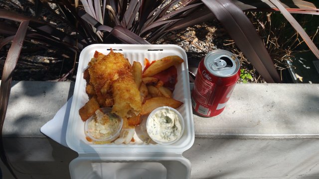
The air tram ends at South Waterfront between SW Moody and SW Whitaker in front of the OHSU Center for Health and Healing. If you go towards Whitaker around the corner, that is where you can board the NS Streetcar to head back downtown. We rode the Street Car to SW 10th and Alder, where we went over to the Food Cart Pod to grt some much needed grub. I had been dying to try The Frying Scotsman for months, and got some fish and chips. This was the size for a regular Cod and Chips, and was $8.
if you have any questions go ahead and send me a message, and I really hope that this was detailed enough for you to be able to take on the 4T trail for yourself. Enjoy!
Thank you for taking us on this wonderful adventure with you! I'm a born and raised Oregonian but haven't done the 4T...yet:) So much to explore here!
Downvoting a post can decrease pending rewards and make it less visible. Common reasons:
Submit
I encourage you to do it, but take breaks! That was my only mistake in it all, wanting to take in more and more, much too fast.
Thank you for the kind words.
Downvoting a post can decrease pending rewards and make it less visible. Common reasons:
Submit
So many great hiking spots around here. Enjoy Portland!
Downvoting a post can decrease pending rewards and make it less visible. Common reasons:
Submit
Would love to find more "novice" hikes if possible. This one was challenging for a first time hiker, although, many youngsters passed me up on the trail.
Downvoting a post can decrease pending rewards and make it less visible. Common reasons:
Submit
You really had a good time. Enjoy the nature :)
Downvoting a post can decrease pending rewards and make it less visible. Common reasons:
Submit
I'm not even sure if I mentioned the slugs i came across on the trail. First time seeing ones that get so big.
Downvoting a post can decrease pending rewards and make it less visible. Common reasons:
Submit