The Wurmaulspitze is a mountain in the Zillertal Alps in South Tyrol, Italy.
Duration: 6:00 h (depending from physical condition)
Route: 13.7km
Altitude: 1370 hm
Difficulty: Medium
Best months to climb (also possible in Winter): Jun Jul Aug Sep Okt
Highest point: Elevation 3,022 m (9,915 ft)
Coordinates: 46°54′52″N 11°38′13″ECoordinates: 46°54′52″N 11°38′13″E
Geography: Location Vals, South Tyrol, Italy
Parent range: Zillertal Alps
DIRECTIONS
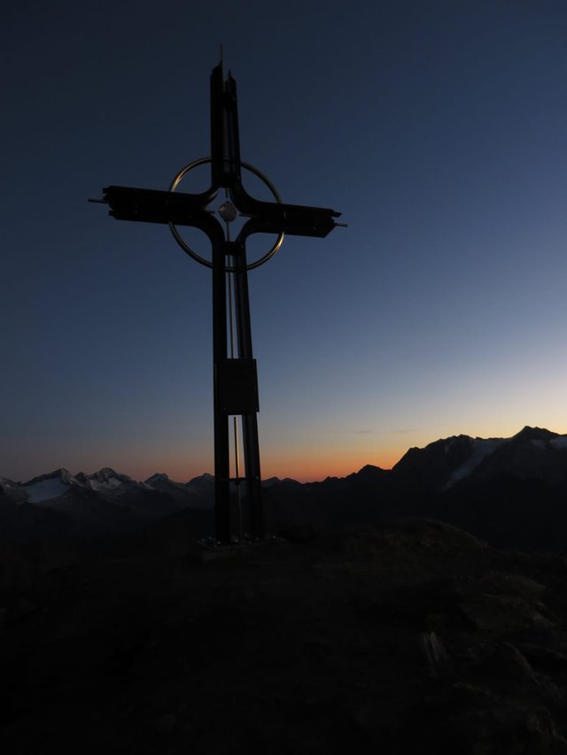
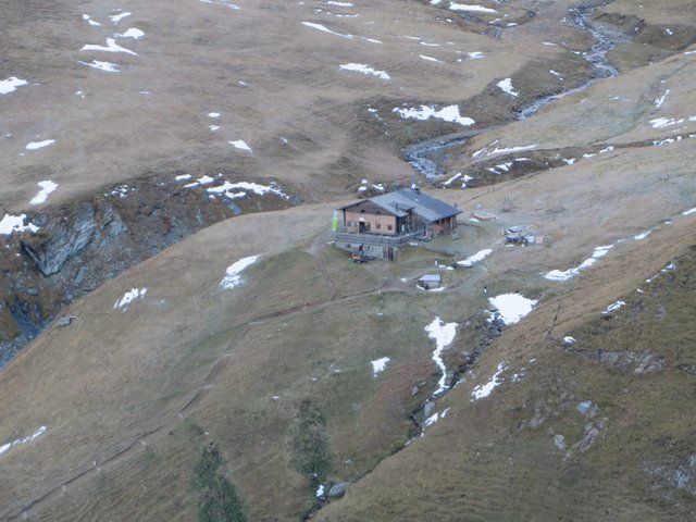
Driving from Vals on a narrow road up to the parking lot near the Fane-Alm 1739 m. Follow the signposts "Brixner Hütte" on a wide path through the vally until the Brixner hut (2300 m, from Fane good 1:30 hours). Now follow the sign "Wurmaul" on a good, red-white marked trail eastwards unproblematic through steep grassy slopes gradually rising through the large southwestern flank of the mountain up to the foot of the broad southern flank of the summit structure (about 2730 m), on the climb over slate debris and Schrofen up to short rock passage with tether and with a few steps to the summit cross (3022 m); from Brixner Hütte 2 hours Descent same as described ascent route.
MAPS
www.kompass.de
Google Maps
Geoflyer Europe 3D App (Google app store)

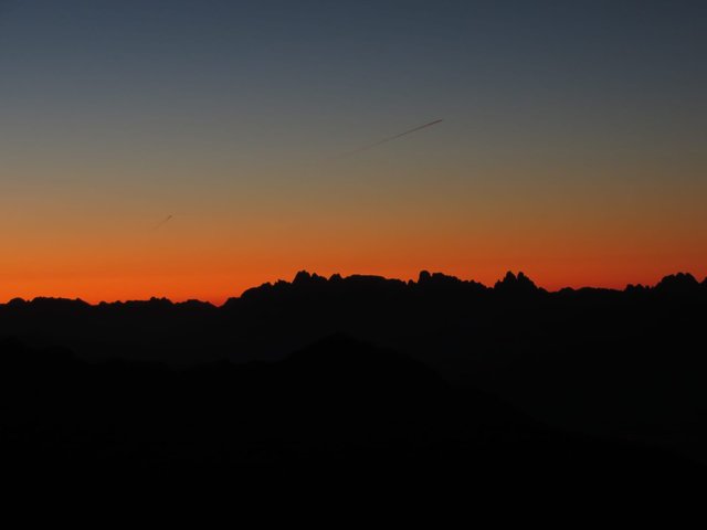
SUNRISE @ 7:15am

Wurmaulspitze 3,022 m (9,915 ft)

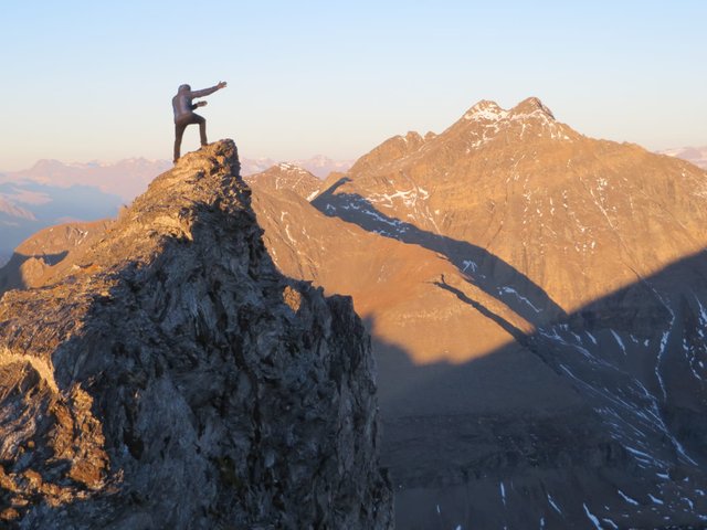
Sun comes.....

Wilde Kreuzspitze on the other side of the vally

Brixner hut
You got a 100.00% upvote from @upvotefromme courtesy of @vitranc!
Downvoting a post can decrease pending rewards and make it less visible. Common reasons:
Submit
Congratulations @carlo1! You have completed the following achievement on the Steem blockchain and have been rewarded with new badge(s) :
Click on the badge to view your Board of Honor.
If you no longer want to receive notifications, reply to this comment with the word
STOPDo not miss the last post from @steemitboard:
Downvoting a post can decrease pending rewards and make it less visible. Common reasons:
Submit