Image Courtesy: Google.
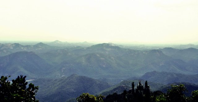
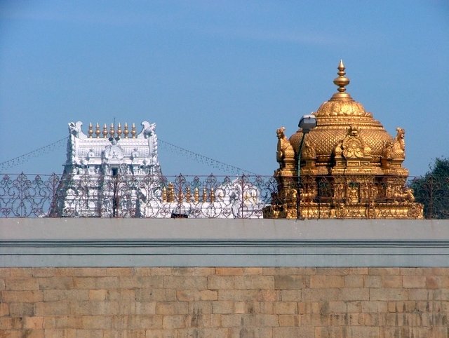
Tirumala is located 3,200 feet (980 m) above sea level and covers an area of approximately 10.33 square miles (26.8 km2). Surrounding the hills are seven peaks of Seshachalam range, Eastern Ghats namely Seshadri, Neeladri, Garudadri, Anjanadri, Vrushabadri, Narayanadri and Venkatadri. The temple of Sri Venkateswara is on the seventh peak (Venkatadri).
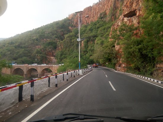
At 21 km point on the Tirupati – Tirumala Ghat road, there is a major discontinuity of stratigraphic significance that represents a period of remarkable serenity in the geological history of the Earth. This is referred to as Eparchaean Unconformity. This Unconformity separates the Proterozoic Nagari Quartazite and Archean granite representing a time gap of 800 Ma. In 2001, the Geological Survey of India(GSI) declared the Eparchaean Unconfirmity to be one of the 26 "Geological Monuments of India".
Video Courtesy: Youtube(published by "Google Trends")
Hi! I am a robot. I just upvoted you! I found similar content that readers might be interested in:
https://en.wikipedia.org/wiki/Tirumala_Hills
Downvoting a post can decrease pending rewards and make it less visible. Common reasons:
Submit
govinda govinda :)
Downvoting a post can decrease pending rewards and make it less visible. Common reasons:
Submit