 Source Source |
|---|
It's another interesting time here, so I welcome you to this publication.
Go anywhere you want: River, square, shopping center, park, residential area or any place you want and:
1. Make a polygon and trace the main routes near that site.
In response to this, I located an area of my choice and followed the instructions given in the class
 |  |
|---|
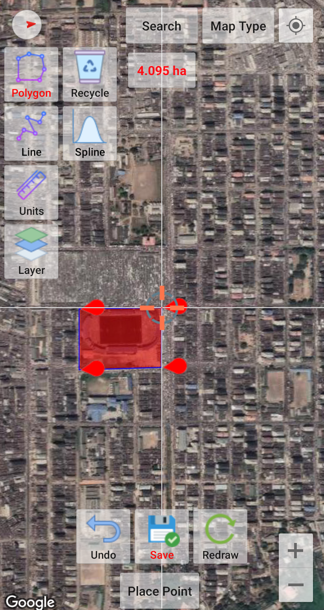
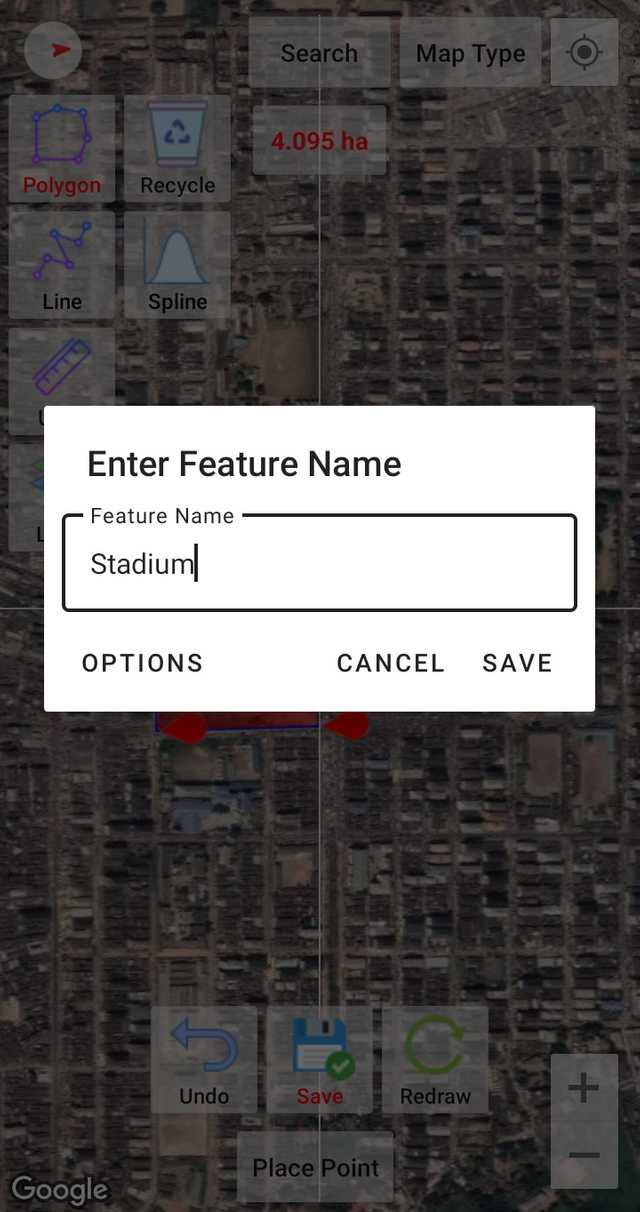
I followed the guidelines and instructions given in the class to give the polygon a name. This area is a stadium located in the city of "Aba" proudly called "Enyimba City".
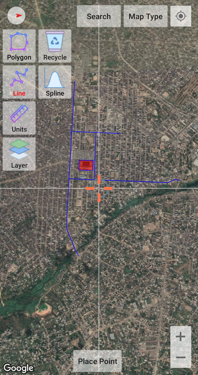
There are many routes to this area, but the two main routes are "East Street" and "Mosque Road", and the two are connected by School Road, which is the main entrance to this area. Both East Street and Mosque Road are linked to Ngwa Road Aba Azikiwe Road.
While Ngwa Road offers access to people coming from Ogbor Hill, Opobo Road area, and Ikot-Ekpene/Calabar through Emelogu, East Street offers access to people coming from form around the Umuoba area.
Mosque Road, which is also accessible through Ngwa Road and links Azikiwe Road, offers access to people coming from PortHarcourt through Aba-Owerri Road, as well as people coming from Abayi Osisioma.
Below are the polygon and the routes near it
2.When creating the polygon, at the top, the surface appears in hectares (ha) and when you trace the road, the distance appears in meters (m) What is the surface of the polygon you created and how many meters is the road what did you draw?
Oh yes, the area of the polygon was displayed at the top of the interface while it was being traced and from what was displayed, we have the polygon to be "4.094 ha".

Alternatively, I could access the information by navigating to the details of the polygon named Stadium.
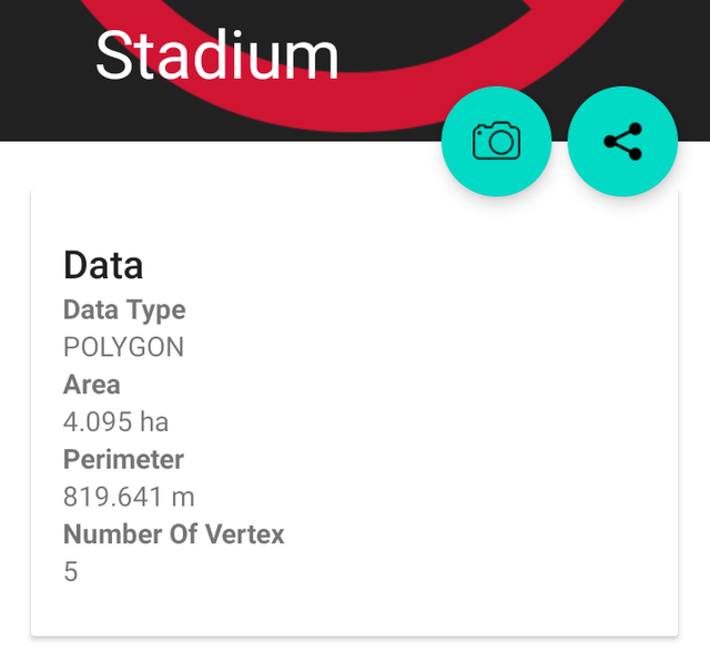
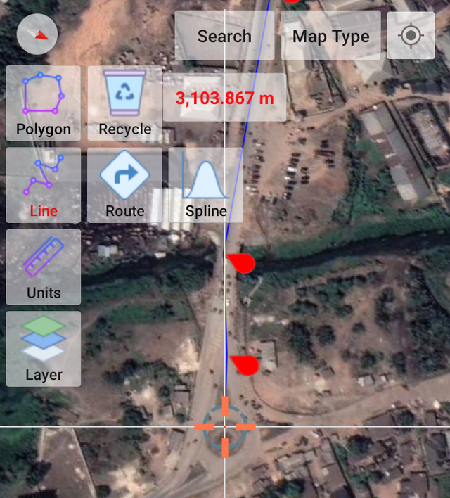
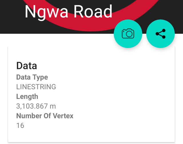
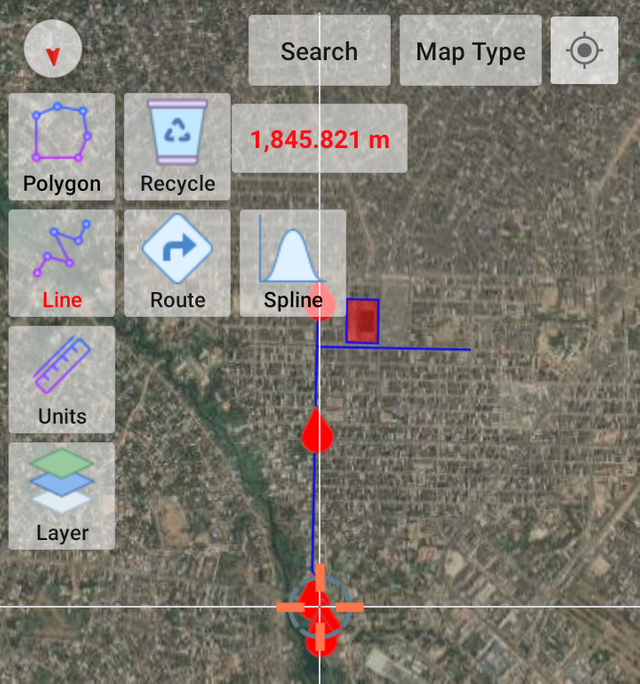
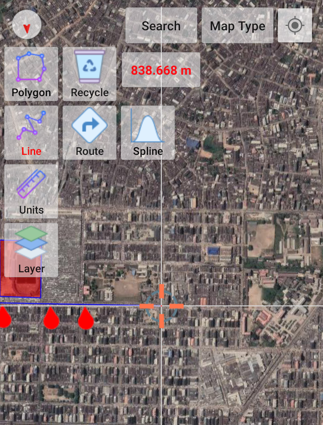
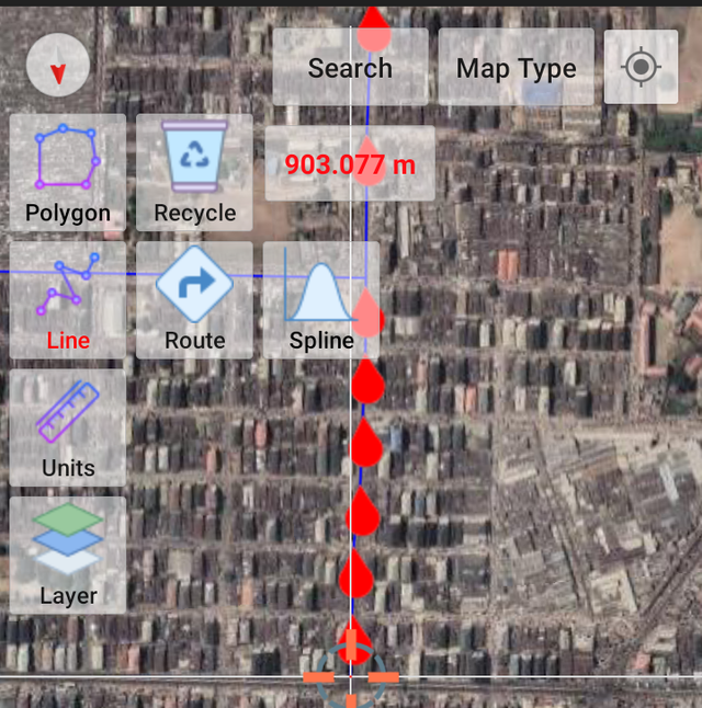
There are also four nearest routes traced to the polygon which include Ngwa Road, East Street, School Road, and Mosque Road; their distances were shown while tracing them and can also be accessed from their details as shown below.
Ngwa Road measured 3,103.867 m
 |  |
|---|
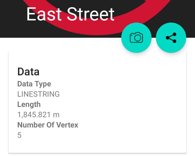
East Street measured 1,845.821 m
 |  |
|---|
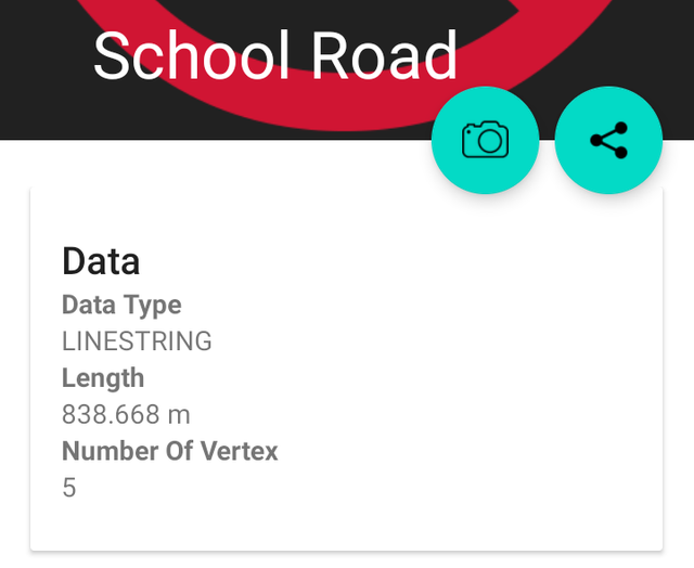
School Road measured 838.668 m
 |  |
|---|
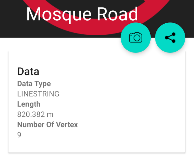
Mosque Road measured 903.077 m
 |  |
|---|
3.Customize both the polygon and the road by assigning color, line width, and appearance. Everything to your liking
The instructions given on how to do this were quite explicit and understandable, I heeded the guidelines and came up with what we have below:
 Default
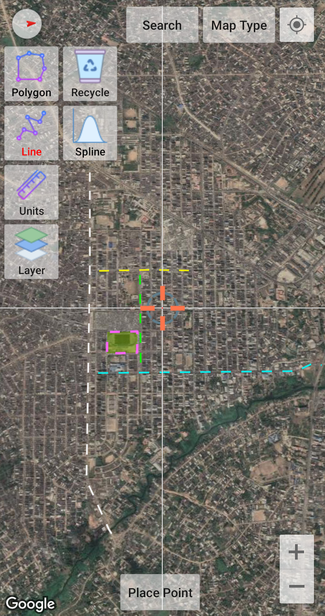 Customized
4.Create a 200 meter Buffer.
The process involved in doing this wasn't difficult, I still had to follow the outlined procedures taught in the class
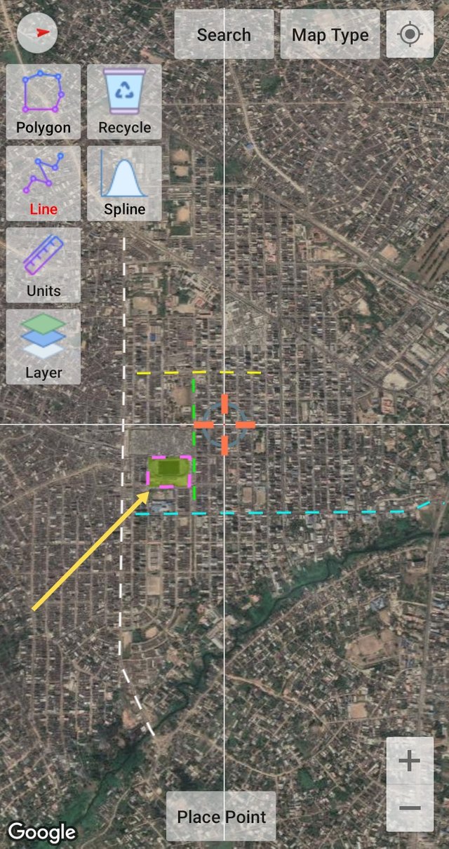
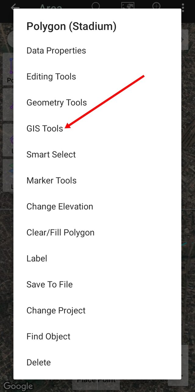
First, I had to tap on the already created polygon and a dialogue box came up from which I selected "GIS Tools"
 |  |
|---|
Tapping on the GIS Tools opened another dialogue box from which I selected "Create Buffer" and on the next interface I selected "Fix Length"
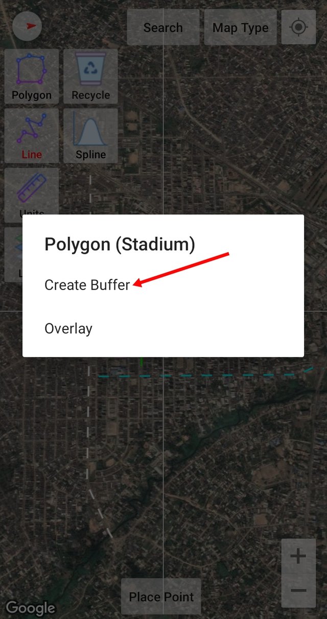 | 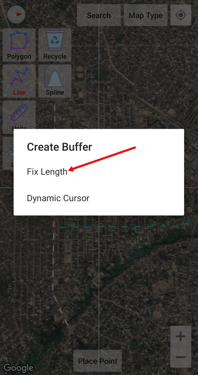 |
|---|
As required, I set the length to be 200 m and tapped on Create Buffer and then the buffer was done and dusted. I further customized the buffer giving it a different look.
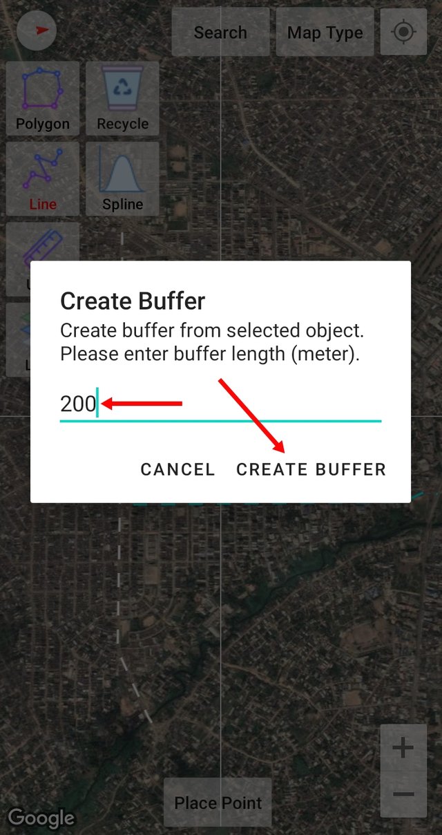
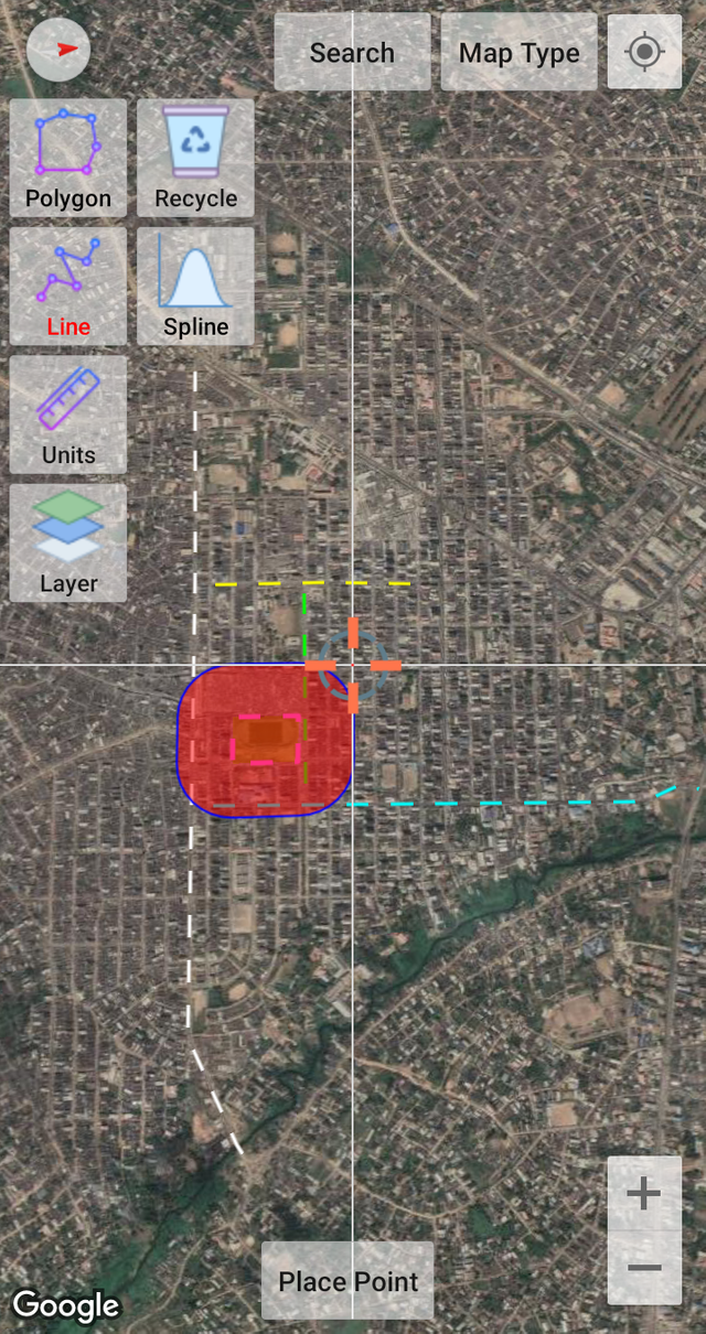 Default
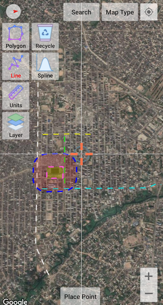 Customized
Answer:
Why did you choose that place and what things is around it?
Is it easy to get there? How can it be accessed?
Looking at the buffer you created, how would you define its area of influence? That is: Is it a good commercial or residential area? is it near an area with vegetation? Is it a very busy area?
The chosen area is a well-known location in Enyimba City. It is almost situated at the center of the town making it very accessible regardless of the direction one is coming from. Between Mosque Street and Ngwa Road, there are numerous street that connects to School Road making it easy to access.
The area is typically a commercial area, and as can be seen, it is surrounded by the Ngwa Road Main Market. It is a business area hence, an extremely busy place that is far from vegetations.
Analyze everything that is inside your Buffer within your perspective and point of view.
Significant places seen to be covered by the buffer include Adam & Eve Motor Park, New Market, Saint Anthony's Hospital, Hills Hotel, Our Lady of Lourdes Catholic Church, Citytel Hotel, etc. This is evident that the selected area is a busy commercial area.
The buffer is also seen to have extended to many streets, such as Ngwa Road, part of Dike and Ibere Road, Ndoki Road, Danfodio Street, Etche Road, Ulasi Road, Obiora Street, School Road, Clifford Road, part of Ehi Road, part of Georges and Ube Street and many other adjoining streets. This implies that being a 200 m buffer, it is, however, extensive.
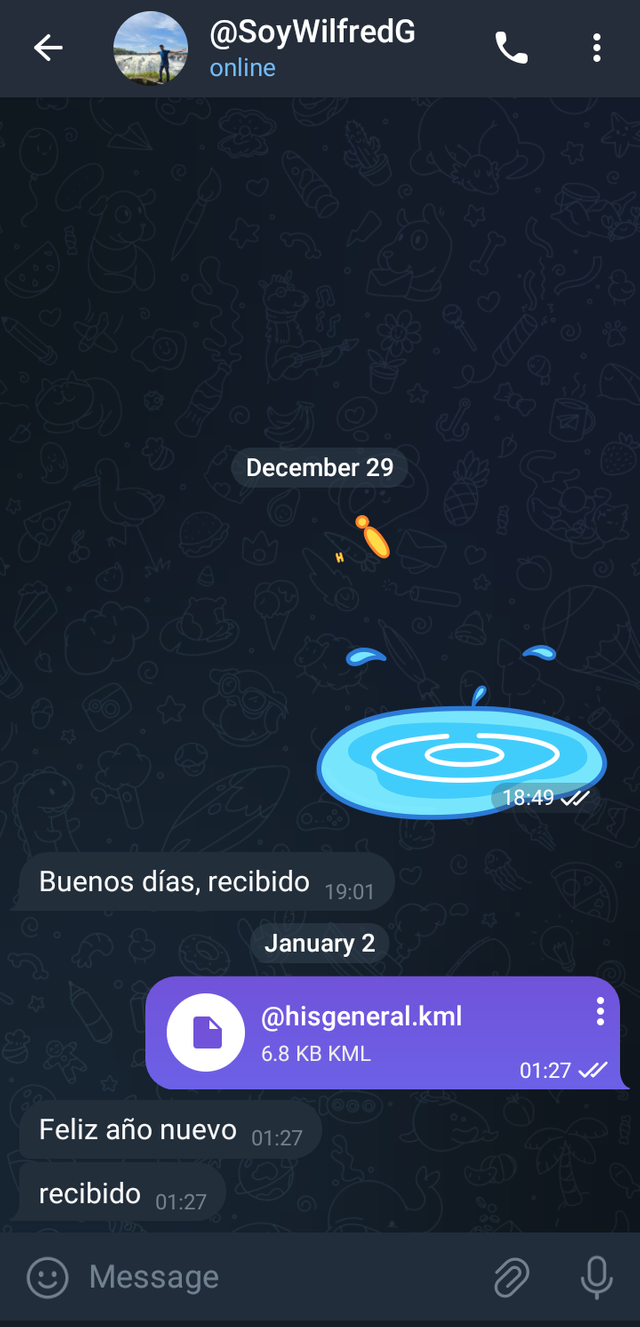
- Export the project to kml and share it with me to my SoyWilfredG telegram
Thanks
Inviting @chima09, @mercybliss, and @ruthjoe