 |
|---|
Greetings everyone and welcome to my publication on Digital Cartography Basics as we journey through the season of Cartography studies. I really loved Geography back in college and map reading was one of my favourite topic, but then I didn't finish my studies on it as it was not registered for my certificate exams. So as we journey through, I hope you to learn new things and contribute my knowledge where necessary.
Make a freehand map of your country (It can be on paper, a computer or on your cell phone, the only condition is that it should not be traced. That is to say: The map does not have to be perfect) |
|---|
 |
|---|
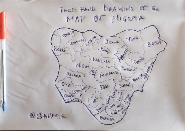
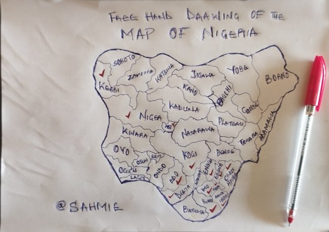
The image above is a freehand drawing of the map of Nigeria on a paper made with pen, showing the location of all states even though it's not so accurate to the mean map, but I did try my best to include all states.
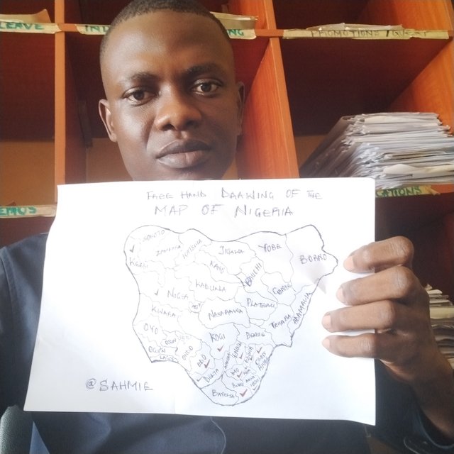 | An image of me and my freehand drawing. |
|---|
Inside the freehand map you made, locate where the capital of your country is and where the state / department / province where you live is. |
|---|
 |
|---|
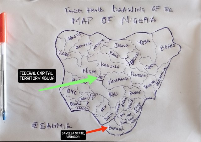
The above image shows the area of the federal capital territory of Nigeria, which is popular known as ABUJA, whereas me, an indigene of the Ijaw tribe, here in Bayelsa resides as the capital city of Bayelsa state, Yenagoa. We are known as the southerners in Nigeria and popular known as the South-south region, located at the bottom of the Nigerian map.
Locate within the map you made, some states / departments / provinces you know by heart (Only those you know / remember at the time, don't fool yourself by cheating) |
|---|
 |
|---|
From the above image, you can see that I have marked out the states I have been to, which is a total of 13 States out of 36 states and the FCT. That is I have been to about 36.1% of all the states in Nigeria minus my state of origin, Bayelsa.
However, my fondest memories of all these trips came when I visited Kebbi state for my NYSC Orientation camping duties, Cross River for a friendly get together and Akwa-Ibom when I went for NYSC service fully and when I went recently for the National meetup just this past November 29th.
 Click here to read about some of my memories of camp days in Dakingari Camp in Kebbi state. |
Click here to read about the memories of last Akwa-Ibom visit for the meet up. | 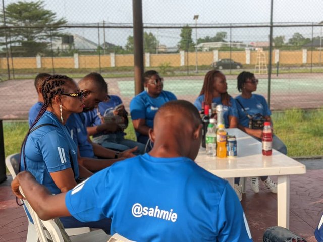 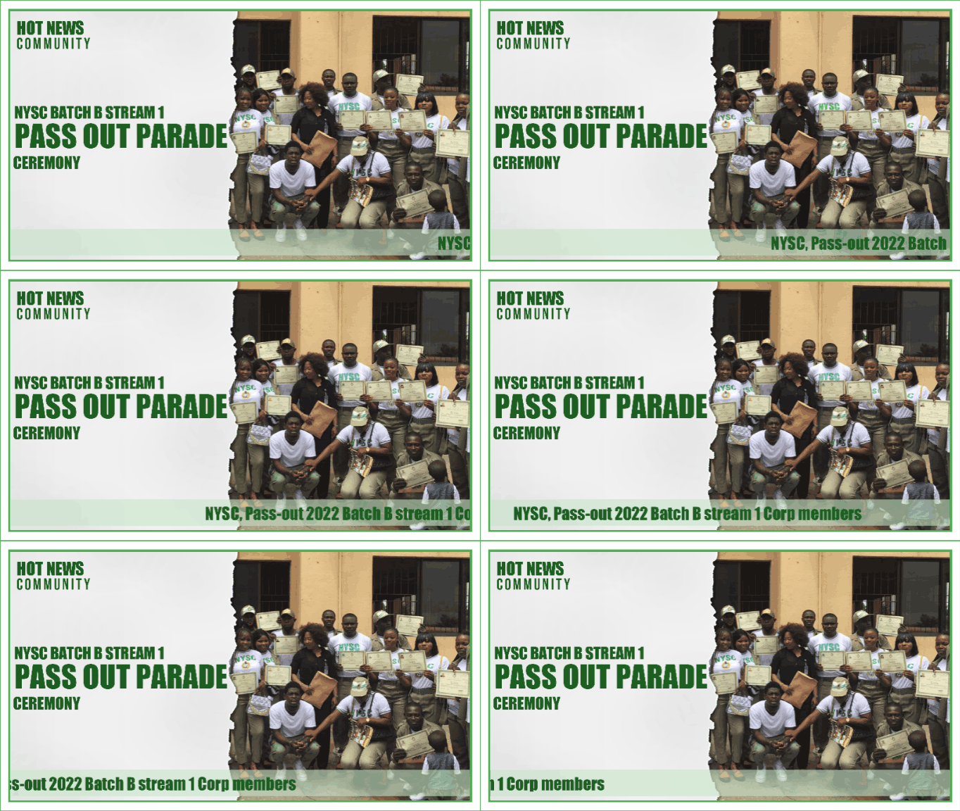 Click here to read about my memories of Akwa-Ibom during my NYSC service |
When I saw this question, I could help myself but think about how much I want to visit Lagos, Plateau, and Kaduna. Lagos is so lively and full of energy as it is the center of activities here in Nigeria. I can already imagine walking through the busy markets then relaxing on the beaches, and maybe enjoying the nightlife. Then there is Plateau, which is known for its beautiful scenery and cooler weather as they nicknamed it the England of Nigeria as it is rumoured to experience extreme cold. I have also heard the views from Plateau in Jos are amazing, and I can’t wait to see the unique rocks and nature for myself. Last on this is Kaduna and I must say that I am just curious about Kaduna because it has a lot of history and different cultures. So I would love to check out the historical sites and learn more about the people there.
A map is a picture representation of an area, showing the relationships between the different features or places of that area. It is like a drawing helping us understand where things such as roads, rivers, mountains, and even cities are located. It uses symbols and colors to represent different types of information like parks and buildings. So, a map is like a guide which helps us visualize an area to understand how we can go from one place to another or see what is close to us as it simplify the real world, making it easier for us to navigate.
The people who developed these maps, i.e., the cartographers made use of certain elements to help users like me and you to understand the maps and navigate our way through any area and some of these elements considered important are; The Legend (Key): The Scale: The Compass Rose: Topography: The Grid System: The Labels:
As maps are important to us, then cartography is also important as it is the art and science of making maps and without it we would find it difficult to find our way. Just imagine what would happen to the transportation sector without cartography, imagine a pilot on a plane or a traveler without a map or an idea of where he/she is going. Cartography for me is very important as maps are to us and it plays a crucial role in not just the travel and transportation sector, but also in urban planning and even environmental studies. Therefore, cartography is really important to us because it helps us make sense of the world around us and guides us in our daily lives. I want to take this opportunity to invite @bossj23, @ruthjoe and @ngoenyi.
|
|---|

Upvoted! Thank you for supporting witness @jswit.
Downvoting a post can decrease pending rewards and make it less visible. Common reasons:
Submit
Es un gusto saludarte amigo @sahmie, me parece estupendo su publicación, lo comprendí perfecto, has viajado bastante a pesar que aún falta lugares por conocer.. Lo felicito y les deseo bendiciones y éxitos ❤️
Downvoting a post can decrease pending rewards and make it less visible. Common reasons:
Submit