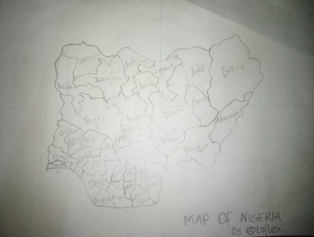
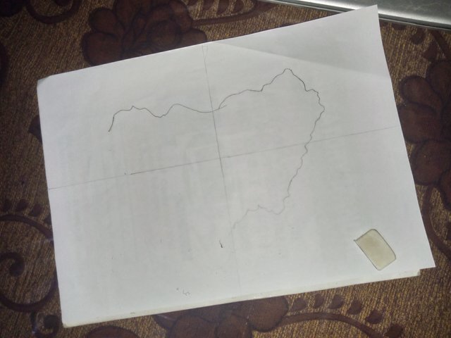
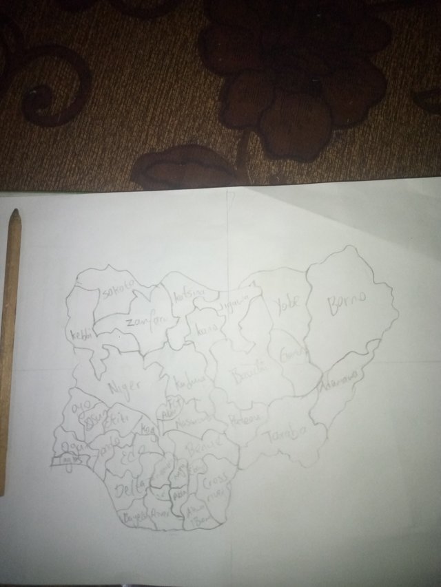
It was really an amazing thing to draw the map of my country (NIGERIA). It was a bit stressful because it has been a while I draw ,but i still drew something okay. I used pencil and A4 paper to draw the map of Nigeria 🇳🇬
|
|
Drawing out the outline of the map |
| Done drawing the map |
|
With my freehand map you'll know that I'm from Nigeria and the capital of my country is Abuja. Abuja is the smallest city in my country with modern development and it's located at the center part of my country and abit close to the north.
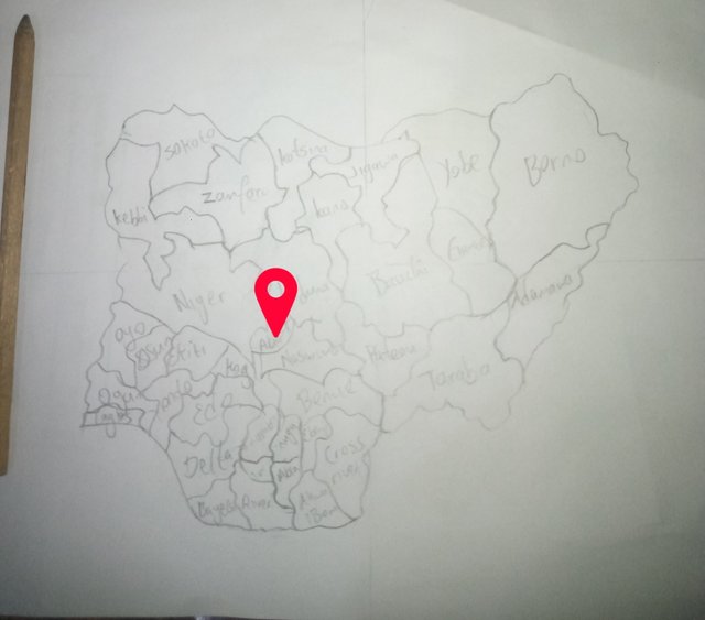 Edited by Pixellap
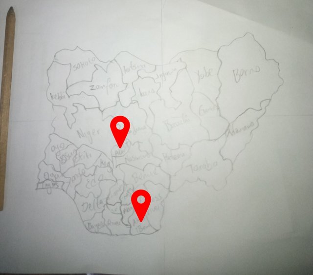
My state and where I live is Akwa ibom state and it's located in the south south region of the country . Akwa ibom is one of the finest state in Nigeria
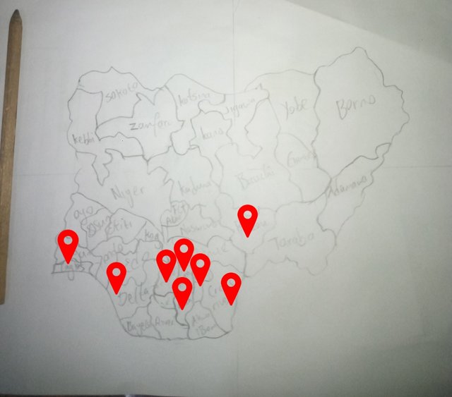
I've been to 8 state in my country due to the work of my parents, whenever they're transferred to another state ,I always follow them alongside . And I'm so happy that at least I've explored 8 state in my country
I was brought up in lagos,and I've been to Ebonyi state ,Abia state,Enugu state with my mom. I traveled to Calabar with my friends ,I also traveled to plateau state to meet my childhood friend and his parents which was my first time traveling to the northern part of Nigeria .
Then from plateau I traveled down to Delta State to meet my dad , from Delta State anambra state isn't far , it's just 20 to 30 mins drive. So there's this popular market at Anambra state known as Onitsha market so I always go to the Market to buy clothes and other personal needs when i was still at asaba and at tye market things are abit cheap.
The three places I'm not really familiar with in my country are , Sokoto state,Niger state, katsina state because I've not really been to the northern part of Nigeria and they're all located at the northern region
What is a map for you? |
|---|
A map is a visual representation of an area, state, country and the world, showing spatial relationships between features such as landforms, roads, cities, rivers, and other physical or cultural elements
Title:the title is to identify the particular area or name of the map which is the most important element
Legend:The legend explains the colors and/or meaningful thoughts that appear on the map.
Scale:The important of the any scale in a map is to indicate the relationship between the size of the map and the size of the area it represents.
Coordinates: It is a reference system that allows us to know a specific location within the Earth's surface.
Conventional signs:These are universal symbols used on maps to identify aspects within the map.
Relative location:This helps us to indicate the place we want to represent on the map, such as the country we live in and our state, because it is an easy way to identified.
Cartography plays a vital role in human day to day because it helps in movement by understanding our locations .with map on our we can easily access location and there's no chance that one can easily get lost and map also help in identifying areas that are affected by national disaster like flood.
In the world today all thanks to cartography,we use maps to check weather forecast and also navigate GPS coordinates in our phones even on cars
I'll be inviting @bossj23,@ngoenyi,@jozzie90 to participate on this week SLC
My twitter promotion link
Downvoting a post can decrease pending rewards and make it less visible. Common reasons:
Submit