Mount Goh is a mountain which is administratively located in Bireuen Regency, Aceh Province. Having a height of 903 meters above sea level is certainly not a difficult peak to conquer, so at first glance people judge.
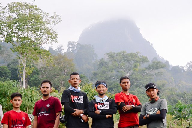
With a relatively low altitude does not make Mount Goh lose its stout. This is evidenced by the statement of local residents that no climber has ever succeeded in conquering the peak, at least after the Dutch colonial period when the pillar as a marker for the peak of Mount Goh was first made. Based on this statement, Mapala Alaska feels called to be able to climb the peak which is said to be full of mystery.
This expedition was named the “Gunong Goh Merdeka Red and White Expedition, Climbing the Peak of a Thousand Question Marks” from Alaskan Nature Lovers (Mapala) University Almuslim Bireuen-Aceh.
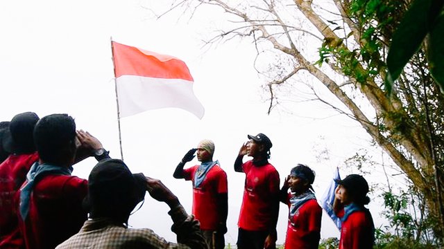
This activity is one of the actions of raising the Red and White Flag on Indonesian Independence Day on August 17 and as the 10th Alaska PA-LH UKM Milad Ceremony which was declared for the first time on August 17, 2005 on Sabang Island, Aceh.
From Bireuen City, access to the starting point is via the Bireuen – Central Aceh highway, then enter the sub-district cross road to Salah Sirong Village, Jeumpa District. Along the way, our eyes will be treated to a simple but beautiful panorama of plantations and residential areas, as well as a stretch of the Peusangan Watershed (DAS) that flows through 5 districts/cities in Aceh.
Salah Sirong Village is the place where the story begins. After reporting the team's arrival to the local village head, the team was allowed to rest in one of the local TPA study rooms and then spend the night there while conducting a final check regarding equipment, logistics, and all the conditions of the 15 team members, consisting of 8 Team Summit and 7 others as Team Support. The final check is one of the Standard Operating Procedures (SOP) that must be carried out in a Travel/Ascent Management.
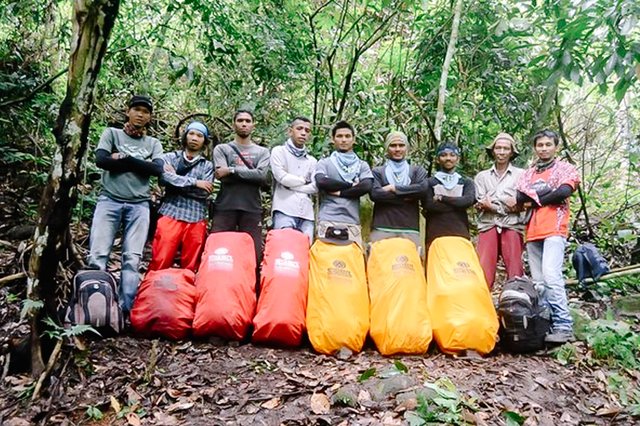
The agenda for the team's briefing that night was attended by the Village Head and several local residents who often hunt in the forest, so that they understand at least the conditions around the foot of Mount Goh. The results of the briefing at that time concluded that there would be one representative of the local population who became part of the Team Summit members. The goal is to accompany the climbing team summit and be a living witness if we become the first team to reach the summit.
Saturday 15 August 2015; The sun shone brightly starting our steps. Armed with Carriel on their shoulders, all team members held a final briefing which was closed with a prayer for the smooth running of our expedition that morning. The panorama of Gunong Goh Peak from a distance seemed to be calling us to immediately set foot there.
Sunday morning, around 00.30 WIB we just found a suitable location for camping. Under the pouring rain, all team members rushed to put up their tents, start the fire, cook, and of course don't forget to brew coffee to relieve fatigue and warm the body. The night passed so short, the tiredness of climbing all day until the night gnawed at each team member's body which finally forced the body to fall down and closed eyes in the sleep of each other's dreams.
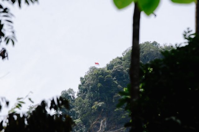
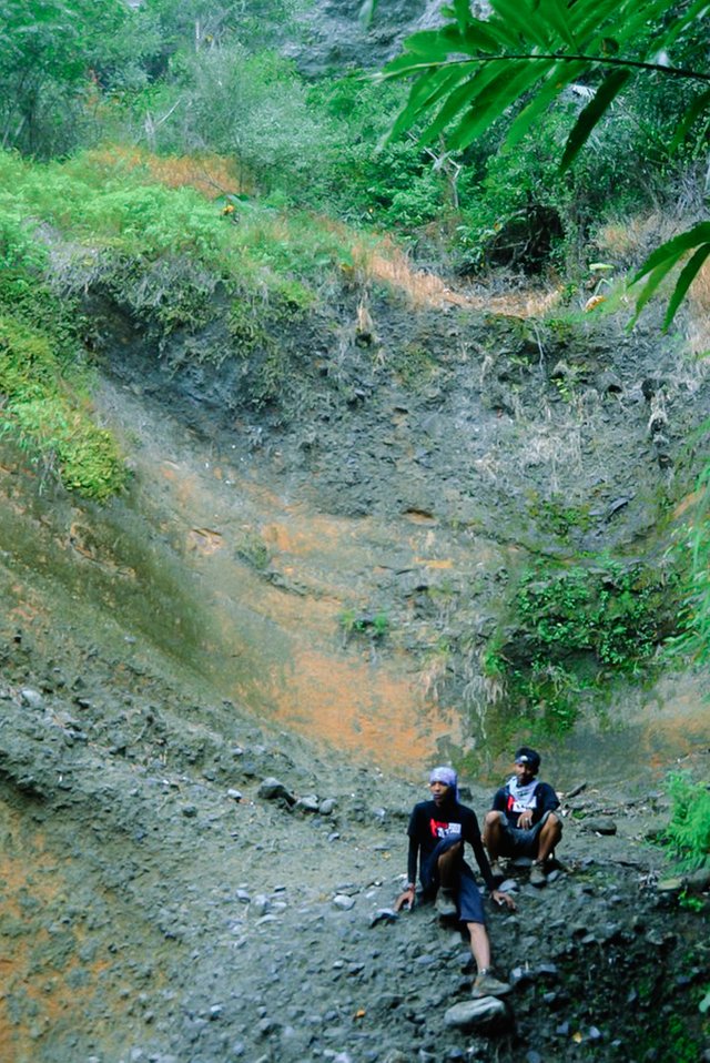
The chirping of the chirping birds started our morning. The sunny weather that day was enough as a sign that nature welcomed us so warmly. Today our hiking trail is down a long hill, then down a valley and then back up the next hill. The path of the hills continued to pass continuously, the path of the springs at the bottom of the valley was always our target to just quench our thirst.
The journey continues, but there are different activities than usual that we do along the hiking trail. Yes, the Mapala Alaska Expedition this time not only aims to reach the top, but is also a scientific expedition that aims to take some scientific data as a report later.
The scientific data that we take include altitude, temperature, humidity, soil pH, as well as an inventory of flora and fauna with an interval of research coordinates per 100 meters of the route.
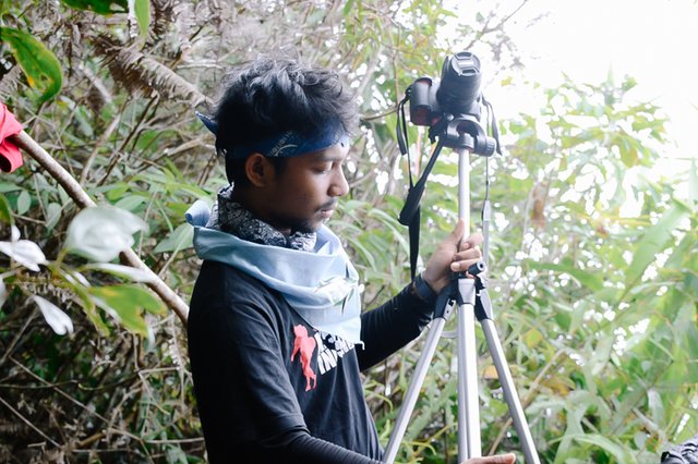
That afternoon, Sunday 16 August 2015; Exactly at 17.47 WIB, the faces of all team members began to smile, even though they were still carrying tens of kilograms on their shoulders and sweat soaked our field clothes. This situation occurred shortly after our team leader and navigator opened an A0 size sheet of paper containing a Topographic Map complete with other navigation tools such as the Global Position System (GPS) and Compass. From the results of the orientation, it was concluded that our current position towards the peak of Mount Goh was only ±500 meters away, with elevations ranging from 20-30 meters. Of course it is a distance that is close enough for us.
After a brief briefing, the team decided to camp at the location at that time. Tents, mattresses, logistics and various
@pennsif
@hive-111293
@papi.mati
@willeusz
@ponpase
@udyliciouz
Greetings steemian Indonesia @agamtjutben Thanks for @steem-travelers
Thank you for sharing posts in the Steem-Travelers community.
Stay consistent to share original posts and improve the quality of your posts. We look forward to your next post!
Report :
You need more 20 STEEM to power up for club5050
Have a nice day !!!
Downvoting a post can decrease pending rewards and make it less visible. Common reasons:
Submit