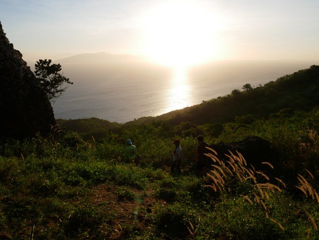
My Share for #BeautifulSunday initiated by @ace108
What is it that makes us want to climb a mountain and conquer the summit? Reaching the top is like something that we all want to achieve. In spite of the difficulties along the way, we strive to reach our destination. In this episode, we will take a trek on the way to the highest point of Marikaban Island, Philippines. Join us today as I take you with me to one of the hardest trek we have experienced.
The Difficult Trail to "Mag Asawang Bato" (Couple Rock)

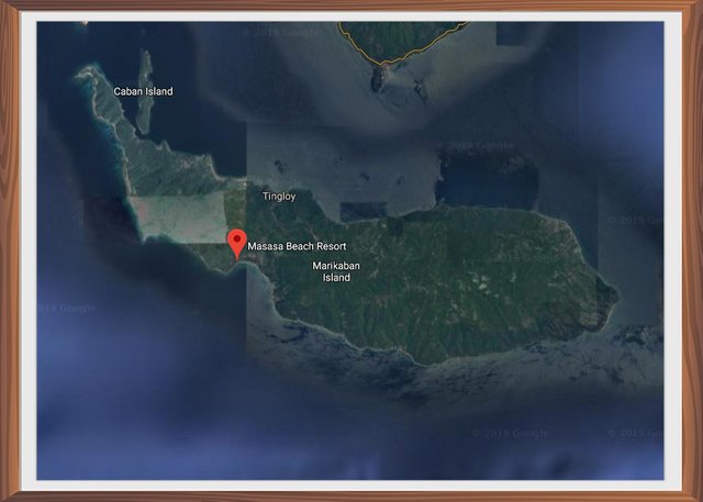
Follow our previous episode in Marikaban Island:
A Getaway to Marikaban Island
You could also watch and subscribe to our video episodes on the links below:
Masasa Adventure Episode: 1 "Gateway to Marikaban Island
Masasa Adventure Episode: 2 "The Beach"
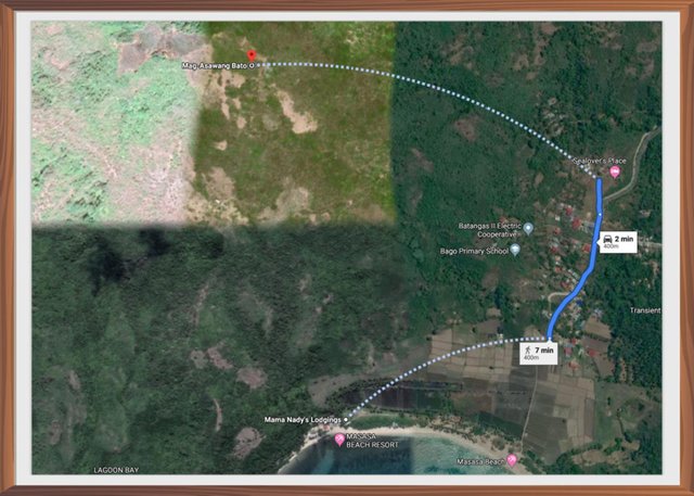
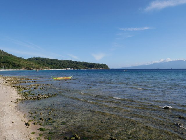
Aside from enjoying the turquoise crystal clear waters of Masasa beach. There are a lot of physical activities that you could experience on the island. One of these activities is taking a trek to the highest point of the island called "Mag Asawang Bato" which means Couple Rock.
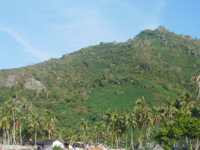
From the beach, if you would look closely, there is a gigantic rock at the very top of the mountain. The rock is split into two and remains inseparable till this very day. Thus the name "Mag Asawang Bato" (Couple Rock) was born.
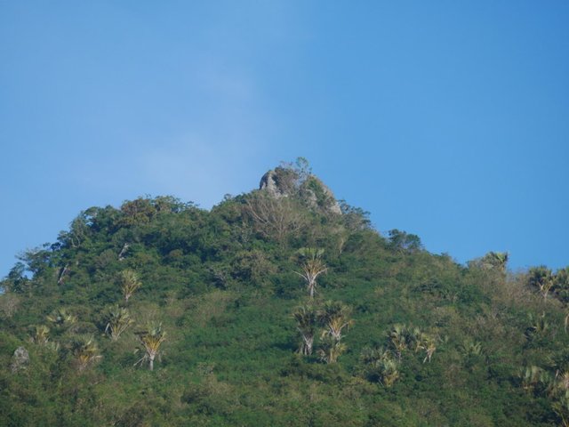
To get there it is required that you hire a guide to bring you to the site. We asked our host if she could arrange for someone to take us to the summit. Here on the island, it is always best to ask your host for any activities that you have planned. They already have contacts when it comes to tours around the island and even give you the best prices. For our trek to the mountain, it would cost you 100 pesos per head which is around almost $2.00 USD.
Our trek was scheduled at 3:00 pm and our guide came on time to pick us up. We were advised to wear comfortable shoes for the hike and bring some drinking water.
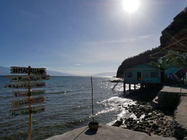
We were all set and so our adventure began. I asked how long it would take to reach the top. Our guide said that it could take around 1 hour and 30 minutes depending on our pace. I thought that it would be an easy trail as we have climbed a couple of mountains in the past and even the Taal volcano which is currently erupting here in our country.

In the afternoon sun, we passed thru a trail lined up with coconut trees that gave us some shade along the way.
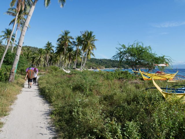
Between the mountain and the beach are flooded rice fields. Maybe it is not yet planting season during this time of year but it adds great scenery in this provincial environment.
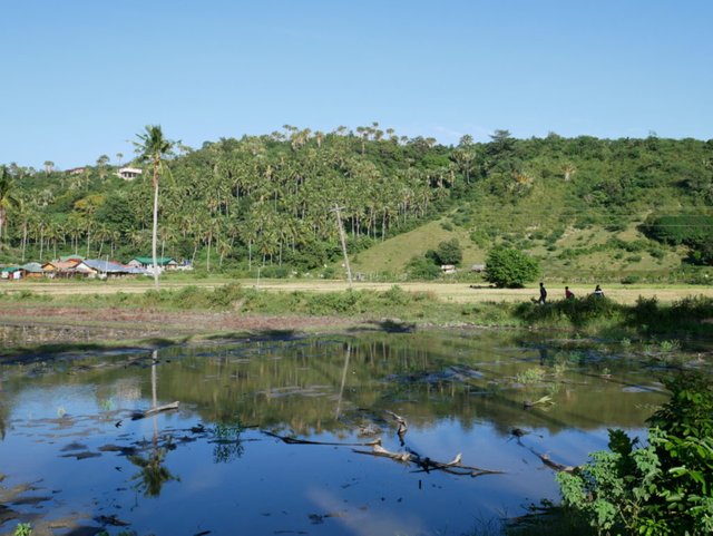
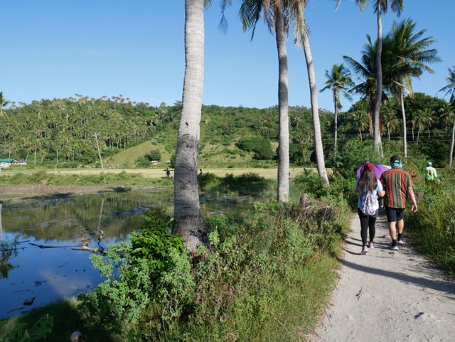
The breeze from the ocean and the mountain air clashes which gives out a very relaxing mood. Time seems to slow down and makes you forget the outside world when you take a stroll along this trail.
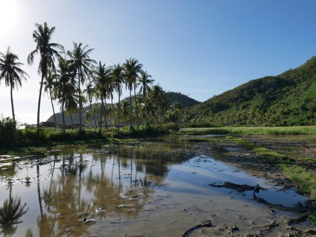
How would you like to live a simple life in a place like this? Even though it is an isolated island they have a small power plant here. But not all the time power is available and it would be a good idea if you could hook up your solar power supply.
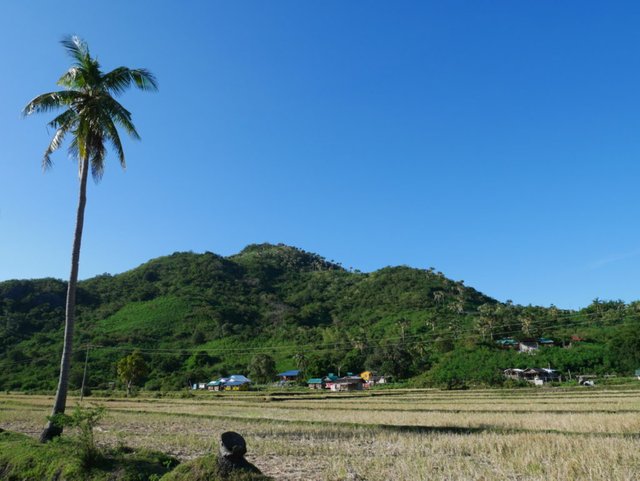
Here we are at the entrance of the trail going to the top. From here there we be no more houses going up the mountain. If you missed to bring some water with you this would be the last chance to buy some drinking water from the stores nearby.
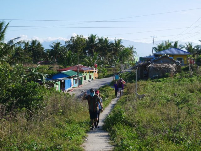
Our guide made sure that everyone was following behind and checked once in a while if someone needed rest. We haven't reached the mountain yet but the uphill road made us stop for a few minutes which was embarrassing. It just shows that we haven't been getting enough exercise lately.
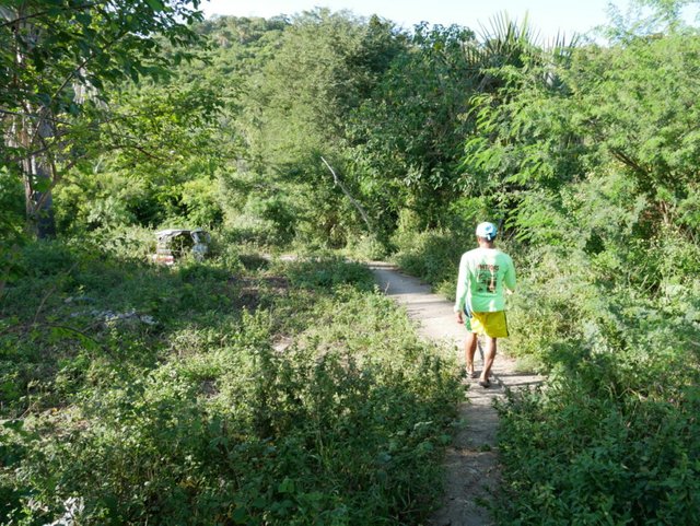
From here the vegetation is getting thicker and the trees seem to look older. You could only hear the songs of the birds and insects. The covering of the trees is much welcoming as it gave us shade from the afternoon sun.
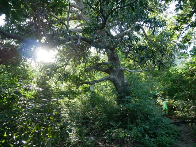
Without a guide, we would get lost here in this maze as the trail is slowly disappearing. Our guide with his jungle knife hacked thru the branches and plants to give us a pathway.
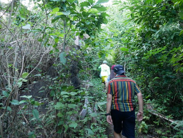
Finally a trail became visible to us again and I think our guide took us thru a shortcut.
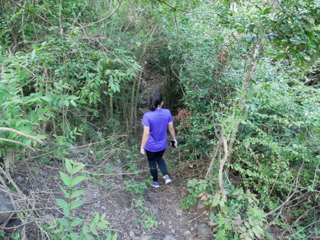
We had to stop as we were catching our breath and needed some water. Our destination looks close but is still so far away, I was told it would still take more that 30 minutes to get there.
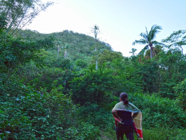
I felt that we were climbing for more than an hour now and I could feel the exhaustion already. I was starting to if we made the right decision to go on this trek.
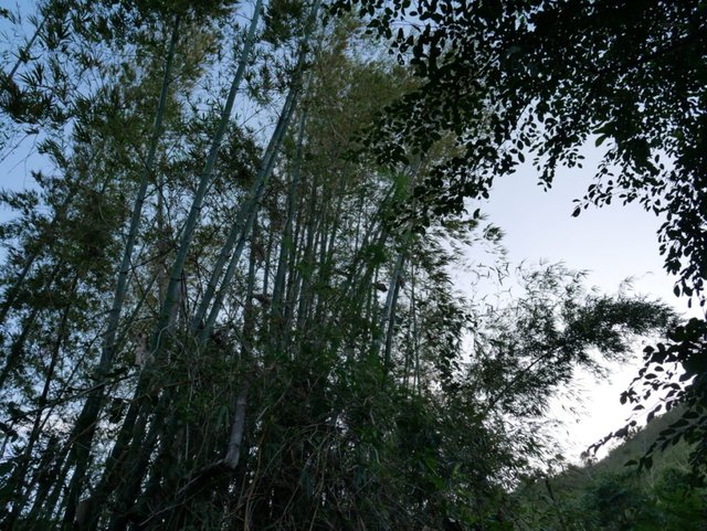
After a few more minutes of climb, we again needed some rest. The water we brought with us was almost half empty and everyone needed a sip. I was getting afraid that we would didn't bring enough water on this journey.
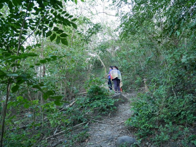
The trail was getting harder and harder as we climbed higher. The first sign of relief that welcomed us is this bamboo handrail tied between trees.
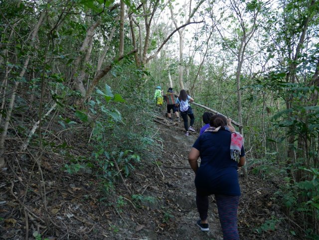
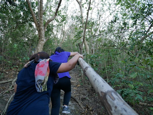
Now regret was sinking in and how I wished we didn't go through this activity. I was imagining myself lying on the beach and enjoying the cool water instead. I tried to focus and told everyone that we are almost there and would be a waste to turn back now.
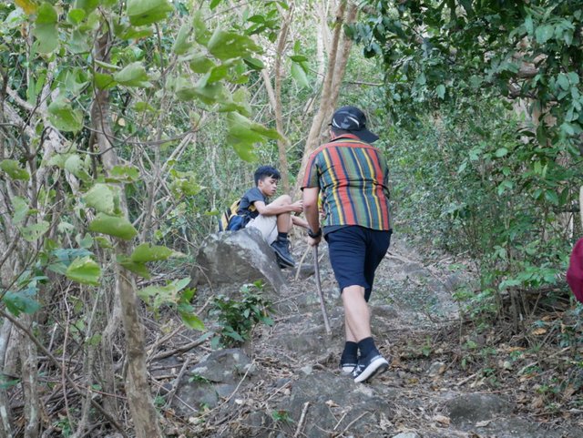
My wife and daughter were already at the point of giving up. I kept saying that we are almost there and we must not give up. There is always always something rewarding at the end of a difficult trail.
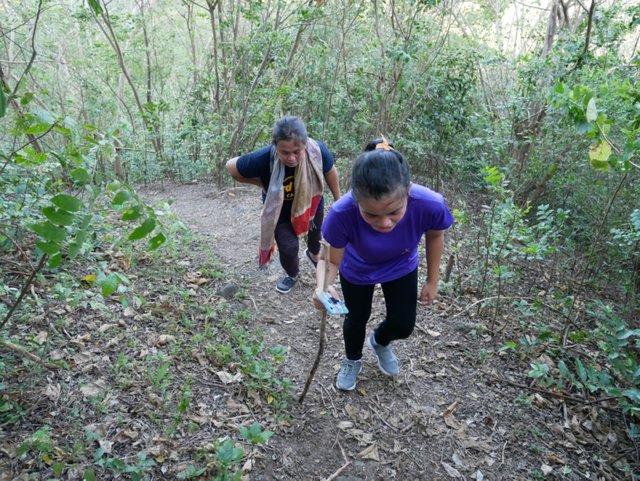
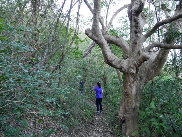
We had to stop again as I was feeling a throbbing in my head. I haven't done any strenuous activity lately and I may have forced myself into this activity without any preparation. My daughter is at the point of giving up and sat quietly on a rock. We heard a call from my brother in law from the top, "Hurry up we are almost there!" That call gave us a burst of energy and we all got up and started moving again.
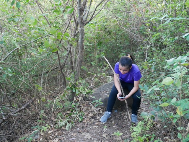
We could almost see the sun on the other side of the mountain. It was an indication that we have almost reached the top.
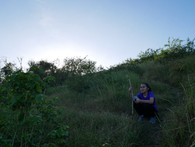
From here we could see almost all of the island and the view was amazing. But to my surprise, I was told that this was not yet it as we would still need to reach the very top of the rock.
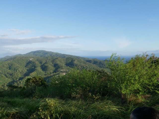
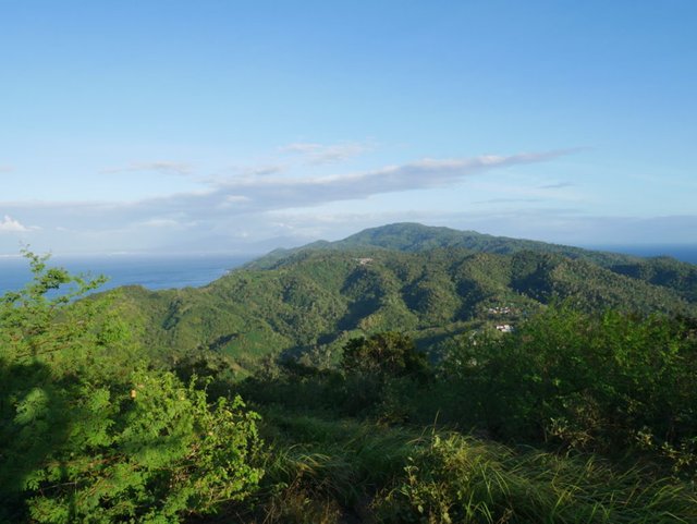
We still had a few more steps to go to reach Couple Rock. Unfortunately, my comrades have fallen and can no longer proceed to the rock. My family said that they would just wait for us in this area. Now only three of us were left to see what glorious beauty awaits. Our guide has been telling us that on the rock is where we could see the whole beauty of this island. Catching my breath, with very little energy I have left, we pushed forward.
To Be Continued.........
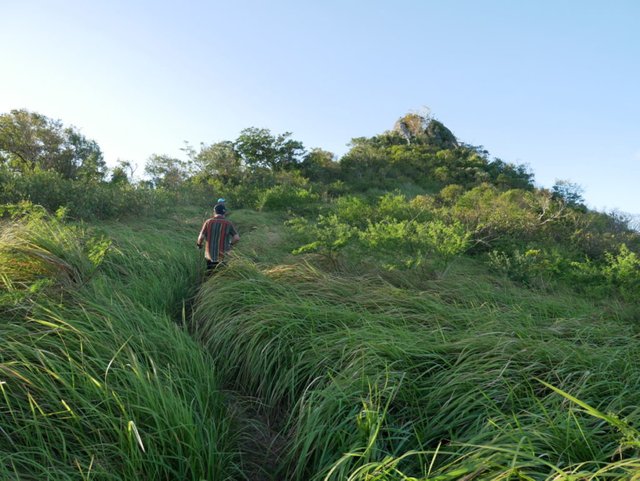
Thanks for joining me today on this trek and I will be sharing with you on our next episode the summit of Couple Rock. Up there, words are not enough to describe how the view from the top looks like. A bit frightening as the wind is very strong up there. Please do join me again to complete this amazing adventure as I am going to tell you now that the difficult trail is all worth it.
I will also be editing and uploading a video version of this tour to fully experience the difficult trail that we went thru. Please watch out for the video very soon.
Until then, keep on dreaming and reaching for the top.
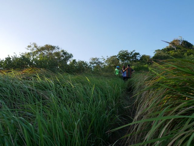

Panasonic Lumix GX85 and 12-32 mm kit lens


Posted from my blog with SteemPress : http://watersnake101.steemblogs.club/2020/01/19/the-difficult-trail-to-mag-asawang-bato-couple-rock-beautiful-sunday/

Reminds me of the terrain from a lot of past missions! In a word: "Challenging".
In lak'ech, JaiChai
Downvoting a post can decrease pending rewards and make it less visible. Common reasons:
Submit
This trek could be just a walk in the park for you with all the missions that you went thru.
Downvoting a post can decrease pending rewards and make it less visible. Common reasons:
Submit
Ok i have one question where there any snakes?
Downvoting a post can decrease pending rewards and make it less visible. Common reasons:
Submit
Hmm didn't see any and didn't even think about it since I was so exhausted. I think the only snake there was me lol.
Downvoting a post can decrease pending rewards and make it less visible. Common reasons:
Submit
Thanks for sharing. Looks like a difficult climb.
Downvoting a post can decrease pending rewards and make it less visible. Common reasons:
Submit
It was a very difficult trail. I almost gave up.
Downvoting a post can decrease pending rewards and make it less visible. Common reasons:
Submit
So, I guess the 1.5 hours of their time will take you longer but some parts of it looks really quite tough.
Downvoting a post can decrease pending rewards and make it less visible. Common reasons:
Submit
Indeed it was really tough. I'll be uploading the video soon. When we got down it was already starting to get dark. Thanks @ace108
Downvoting a post can decrease pending rewards and make it less visible. Common reasons:
Submit
You're welcome
Downvoting a post can decrease pending rewards and make it less visible. Common reasons:
Submit
Hi @watersnake101, your post has been reviewed by the TravelFeed content team, but it does not qualify for an upvote since you did not post through TravelFeed.io.
Feedback
Based on your post, we have the following feedback for you:
Thanks for using TravelFeed!
@for91days (TravelFeed team)
PS: You can now search for your travels on-the-go with our Android App. Download it on Google Play
Downvoting a post can decrease pending rewards and make it less visible. Common reasons:
Submit
Slow but sure reaching the top, the older you get the quicker energy runs out so surprised your daughter is giving up the hike. Look forward to seeing the top with formation of this rocky outlook point.
Downvoting a post can decrease pending rewards and make it less visible. Common reasons:
Submit
It was the first time my daughter gave up on me. To be honest the trail was really hard and our guide said that mountaineers also had a hard time climbing it. Thanks for checking @joanstewart you would love the next episode.
Downvoting a post can decrease pending rewards and make it less visible. Common reasons:
Submit
You can find the community announcement on Discord :) and it has also been shared on our FB Page and Twitter feed.
Downvoting a post can decrease pending rewards and make it less visible. Common reasons:
Submit
Thanks #PHC family!
Downvoting a post can decrease pending rewards and make it less visible. Common reasons:
Submit
This post was curated by @theluvbug
and has received an upvote and a resteem to hopefully generate some ❤ extra love ❤ for your post!
JOIN ME ON TWITTER
In Proud Collaboration with The Power House Creatives
and their founder @jaynie
JOIN US HERE
FOLLOW US ON TWITTER
Downvoting a post can decrease pending rewards and make it less visible. Common reasons:
Submit
Thanks for the love!
Downvoting a post can decrease pending rewards and make it less visible. Common reasons:
Submit
What a lovely place!
Downvoting a post can decrease pending rewards and make it less visible. Common reasons:
Submit
Thanks! I'll be sharing the lovely view from the top soon.
Downvoting a post can decrease pending rewards and make it less visible. Common reasons:
Submit
Hello!
This post has been manually curated, resteemed
and gifted with some virtually delicious cake
from the @helpiecake curation team!
Much love to you from all of us at @helpie!
Keep up the great work!
Manually curated by @free-reign.
@helpie is a Community Witness.
Downvoting a post can decrease pending rewards and make it less visible. Common reasons:
Submit
Thanks for that delicious cake.
Downvoting a post can decrease pending rewards and make it less visible. Common reasons:
Submit
What a beautiful look and good pictures.
Downvoting a post can decrease pending rewards and make it less visible. Common reasons:
Submit
Thank you. I appreciate it.
Downvoting a post can decrease pending rewards and make it less visible. Common reasons:
Submit
Wow, just think of the guides who do this climb daily! From some of the pictures, we can see this is a coastal mountainous area. The journey looks very grueling for sure!
Downvoting a post can decrease pending rewards and make it less visible. Common reasons:
Submit
It's a great source of income for the guides. I noticed that our guide didn't even break a sweat which was crazy.
Downvoting a post can decrease pending rewards and make it less visible. Common reasons:
Submit
Oh what a beautiful hike @watersnake101 :) The effort is certainly worth it but the hike to get there is grueling. I'm sorry you all didn't see the top! Looking forward to the view.
Downvoting a post can decrease pending rewards and make it less visible. Common reasons:
Submit
Hey @birdsinparadise the view from the top was so worth it! I would have regretted it if I didn't finish the trek. I'll share the next part soon.
Downvoting a post can decrease pending rewards and make it less visible. Common reasons:
Submit
I am just curious if you have seen any snakes on your way up to the rock. Or while crossing the paddy fields?
Downvoting a post can decrease pending rewards and make it less visible. Common reasons:
Submit
I was the only snake there during that time lol. A scary thought though going thru the thick vegetation. Probably there a snakes but none on the trail.
Downvoting a post can decrease pending rewards and make it less visible. Common reasons:
Submit
Congratulations, Your Post Has Been Added To The Steemit Worldmap!
Author link: http://steemitworldmap.com?author=watersnake101
Post link: http://steemitworldmap.com?post=thedifficulttrailtomagasawangbatocouplerock-beautifulsunday-sg5xitobwk
Want to have your post on the map too?
Downvoting a post can decrease pending rewards and make it less visible. Common reasons:
Submit
Your posts always have wonderful photos and information @watersnake101 💕
!trdo
Posted using Partiko Android
Downvoting a post can decrease pending rewards and make it less visible. Common reasons:
Submit
I greatly appreciate it. Try to give out the best details I can. Who knows someone may want to visit one day.
Downvoting a post can decrease pending rewards and make it less visible. Common reasons:
Submit
That looks like a fantastic time! I'm looking forward to the next episodes to see if you make it to the top!
Downvoting a post can decrease pending rewards and make it less visible. Common reasons:
Submit
I got some really good photos up there. Only regret I have is, I wasn't in any of the photos lol.
Downvoting a post can decrease pending rewards and make it less visible. Common reasons:
Submit
Wow! That was not for the weak at heart. I am amazed that it keeps going and going! I was really surprised that your daughter ditched you! :)
But, the terrain didn't look exactly friendly.
Thanks for taking us along and learning more about your part of the Philippines. I find it truly interesting and an amazing country.
Have a great week ahead~
!tip
Downvoting a post can decrease pending rewards and make it less visible. Common reasons:
Submit
Hey @dswigle definitely not for the weak of heart. I myself wasn't prepared for that trek. I was so exhausted and didn't have enough water. My wife and kids stayed near the summit. I got some great footage from the top overlooking where I left them. I was shouting from the top of the rock calling out to them. I didn't want to force them but I wish they experienced what I saw. Thanks for the tip my friend.
Downvoting a post can decrease pending rewards and make it less visible. Common reasons:
Submit
Oh, yes, but, there is always another time, perhaps with a little more working it. That is a huge feat and I can't say that I blame them! :)
Congratulations to you!
Downvoting a post can decrease pending rewards and make it less visible. Common reasons:
Submit
🎁 Hi @watersnake101! You have received 0.1 STEEM tip from @dswigle!
@dswigle wrote lately about: Monday Musing All The Way Feel free to follow @dswigle if you like it :)
Sending tips with @tipU - how to guide.
Downvoting a post can decrease pending rewards and make it less visible. Common reasons:
Submit
Hiya, @LivingUKTaiwan here, just swinging by to let you know that this post made into our Honorable Mentions in Daily Travel Digest #745.
Your post has been manually curated by the @steemitworldmap team and got an upvote from @blocktrades to support your work. If you like what we're doing, please drop by to check out all the rest of today's great posts and consider supporting us so we can keep the project going!
Become part of the Haveyoubeenhere community:
Downvoting a post can decrease pending rewards and make it less visible. Common reasons:
Submit
amazing place. Nice shots!
Downvoting a post can decrease pending rewards and make it less visible. Common reasons:
Submit
Thanks mate. I appreciate it.
Downvoting a post can decrease pending rewards and make it less visible. Common reasons:
Submit
You have been curated by @freedomtowrite on behalf of Inner Blocks: a community encouraging first hand content, with each individual living their best life, and being responsible for their own well being. #innerblocks Check it out at @innerblocks for the latest information and community updates, or to show your support via delegation.
Downvoting a post can decrease pending rewards and make it less visible. Common reasons:
Submit
Thank you very much!
Downvoting a post can decrease pending rewards and make it less visible. Common reasons:
Submit
Oh yeah, such a climb can indeed tire one out completely my friend.
I don't blame anyone for not making it, as it might look easy at the start, but within a 100 yards of the climb one starts to breathe very hard.
I don't need to explain more as you know what I am talking about and I have also been in that situation many times.
Blessings!
Downvoting a post can decrease pending rewards and make it less visible. Common reasons:
Submit
You said it my friend. It was one of the most hardest I have ever climbed. Our guide said, even the experienced mountaineers had a hard time.
Downvoting a post can decrease pending rewards and make it less visible. Common reasons:
Submit
Looks easy peasy, but that gradual incline is a killer my friend.
Blessings!
Downvoting a post can decrease pending rewards and make it less visible. Common reasons:
Submit
Absoulutely BeautyFull 😍 ..am curious if you encountered any ticks? (I hope not). Thats quitean amazing trail. Thank you for sharing the experience 💕💕🙏
Downvoting a post can decrease pending rewards and make it less visible. Common reasons:
Submit
Oh no ticks there my friend just a very very hard trail lol. So far in all of our climbs didn't seem to notice ticks. I am glad to have shared our experience.
Downvoting a post can decrease pending rewards and make it less visible. Common reasons:
Submit
Niiiiiiiice 😍👍👍😍 (I wish I could say the same regarding ticks around here 😅)
Much Love 💕🙏
Downvoting a post can decrease pending rewards and make it less visible. Common reasons:
Submit
I was already tired by picture 5 :)
That was some adventure
Beautiful place
Downvoting a post can decrease pending rewards and make it less visible. Common reasons:
Submit
I'll also upload a video soon and you could hear heavy I was breathing. It was quite a very difficult experience.
Downvoting a post can decrease pending rewards and make it less visible. Common reasons:
Submit
Oh the anticipation! I really want to see the view from the top. I'm sorry the ladies didn't make it all the way. It really sounds like a grueling climb! One must be in great shape for a hike like that.
That's amazing that you have climbed the Taal volcano. I'm glad you aren't there now!!
Downvoting a post can decrease pending rewards and make it less visible. Common reasons:
Submit
True you need to be in shape to do the climb and I am absolutely out of shape lol. I am not sure when will I ever do a climb again since that experience. My head was throbbing and heart was beating really fast. Had to make multiple stops. Yea and the volcano I am glad I was able to climb it years ago as it is now in ruins. Place has been declared no man's land. Still blowing up steam and they said it could be getting ready for a major eruption.
Downvoting a post can decrease pending rewards and make it less visible. Common reasons:
Submit
I lived somewhat near a volcano when I was young. It was Mt. St. Helens, in the U.S. Pacific Northwest. It erupted and then it rained ash where I lived about 100 miles away. Eventually the mountain went back to sleep and now there is a visitor’s center and it’s a really neat place to visit!
Downvoting a post can decrease pending rewards and make it less visible. Common reasons:
Submit
Looks like you had a really nice adventure. That would be hectic on my knees, to say the least. But the pictures look great. Thanks for sharing your adventure.
Downvoting a post can decrease pending rewards and make it less visible. Common reasons:
Submit
Oh every part of my body was aching after that climb. The view though was very much worth it.
Downvoting a post can decrease pending rewards and make it less visible. Common reasons:
Submit
Wow! That looks challenging! 💪💪 I bet it's so worth the climb 😊😊
Posted using Partiko Android
Downvoting a post can decrease pending rewards and make it less visible. Common reasons:
Submit
Hey thanks. It was super tiring but super worth it. Try to visit if you could one of these days.
Downvoting a post can decrease pending rewards and make it less visible. Common reasons:
Submit
Nice post, with some very beautiful photos, thank you for sharing!!
$trdo
Downvoting a post can decrease pending rewards and make it less visible. Common reasons:
Submit
Thanks I'm glad you enjoyed the photos.
Downvoting a post can decrease pending rewards and make it less visible. Common reasons:
Submit