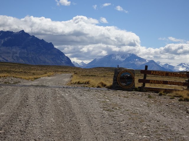
The Perito Moreno National Park is located in the West of the province of Santa Cruz, close to the Andes mountains. Although it was founded several decades ago, it is one of the least visited ones because of its difficult access and its climate. There is no public transportation to the park, so the only way to get there is by private transport. Another limitation is its climate. Days are mostly cold (also in Summer) and the wind blows very strong. Besides there is no town nearby to provide lodgement, food or fuel. The closest towns are Perito Moreno to the North (311 Km – 6 hours drive) and Gobernador Gregores to the South (207 Km – 5 hours drive). At these towns you have to buy your food as there is no grocery store inside the National Park.
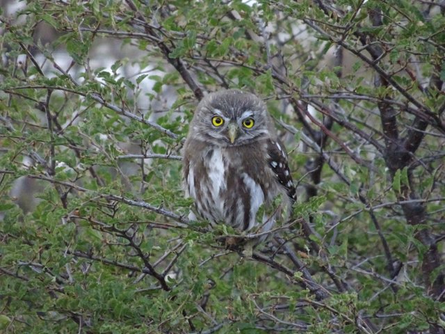
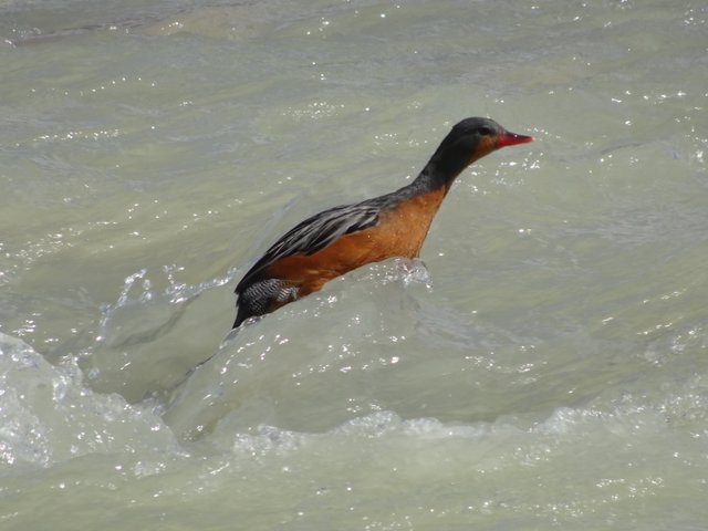
Despite all the disadvantages mentioned before, I consider this one of the most beautiful National Parks I´ve ever visited in Argentina. It protects the Patagonian steppe and forests (Nothofagus species). And having so little visitors gives you the oportunity to see a lot of animals.
The Butler Conservation Fund is building new shelters in the park. They are very tiny (maximal 4 persons) so we had to book our place in advance. The park has very little camping places. Most spots have only shelters and camping is forbidden.
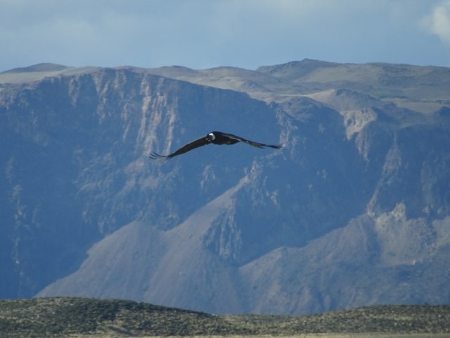
Our first stop inside the park was at Mie lagoons, ideal for birdwachers. The lagoons are small but we could see cormorants, flamingos, different species of ducks, ibis and the great Andean condor.
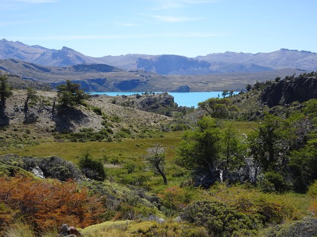
Afterwards we visited the Burmeister lake. There is a camp site at its shores but it was closed down because of a rampant spread of some specie of caterpillars. We took a walk through the forest to reach a view point on the lake. It took us only 10 minutes to reach a big rock from where we could see part of the Burmeister lake with its tourquise waters.
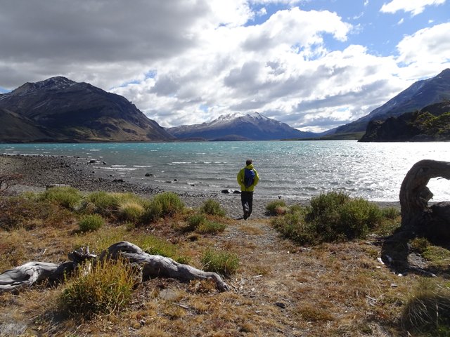
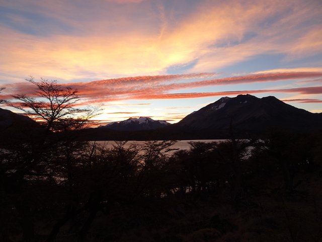
Our next visit was to Belgrano lake. We left our car at a parking and started a 45 minute walk to reach the shore of this lake and its shelter where we spent the night. The sleeping area consists of 2 wooden boards like bunk beds (you have to carry your own sleeping bag and sleeping mat) and heating is provided by a small woodstove. From the shelter we could reach the lake easily and also take a longer walk by its surroundings.
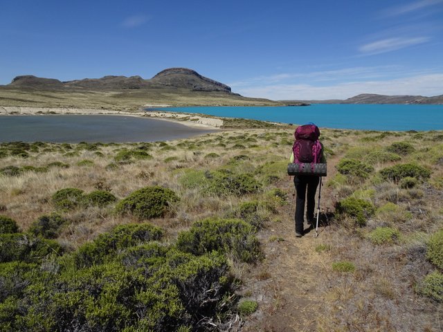
The following day we continued our journey to the Península Belgrano. There is a trail surrounding this peninsula that can be walked in 1 day. But we decided to spend one night there to enjoy better. Cars are not allowed to enter the peninsula. So we left it at the parking area and started our walk for 8 kilometers to reach the shelter Playa Quetro. From the trail we could see the lake Belgrano all the time and off course the wind blew always very strong. The Northern part of the Peninsula is dry and it has two big lagoons called Pescado (fish) lagoon and Flamenco (flamingo) lagoon. In both of them we could see some birds like black-necked swans, flamingos and gooses.
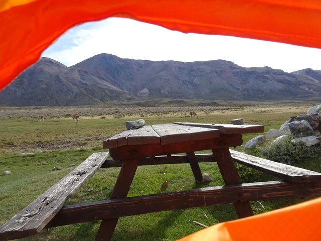
One of the few camp sites is El Rincón. I think this place used to be part of a sheep ranch, but today it is the Forest Ranger´s detachment. It has 3 camp sites sheltered against the wind with a rock wall. It is located on a meadow where several guanacos graze freely.
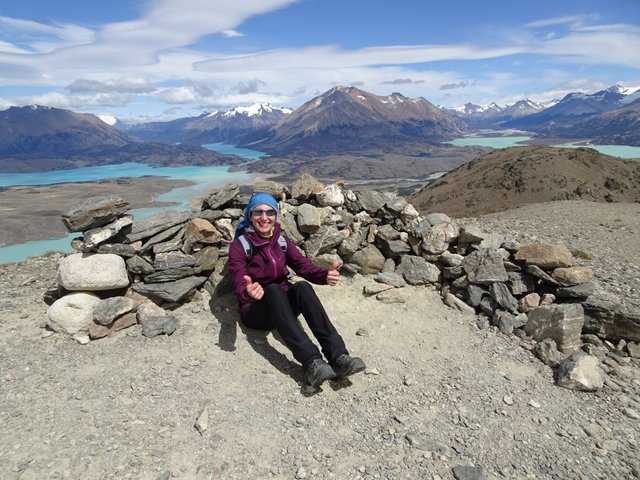
From this camp site we started a hike to León hill. It took us almost 2 hours to get to the top. The trail runs at first through the steppe, constantly lashed by strong wind, and then it starts ascending a slope where we found small groups of Ñire trees. Close to the top of the hill the ground becomes a stony one and the wind blows so strong that no tree or bush can grow. At the view point there is a shelter made with stones where you can hide from the wind while admiring the astonishing landscape:
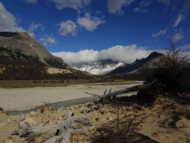
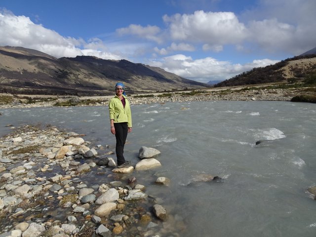
Our next destination was shelter and mount San Lorenzo area. This is a 15 Km walk and it took us 4 hours 40 minutes, considerig we stopped a lot to take pictures and for lunch. The trail runs along the valley of the Lacteo river, which is a wide and fast-flowing river. Slopes are soft and during our walk we crossed several dry gutters and Ñire forests. At the end point of this trail we found two shelters: the old and original shelter San Lorenzo (today it is used only to store tools for the forest rangers) and the new one called shelter Kris & Douglas (in honor of the Tompkins couple, who gave these lands to the Government to be part of the National Park). From this point you can follow a trail to a small lagoon that descends from mount San Lorenzo. But by the time we were there this trail was not set up and it was closed for visitors. One important information: camping is not allowed in this place, although there is plenty of space. It is only allowed to sleep in the shelter. That´s why it is important to book your place in advance.
San Lorenzo was our last visit in this Park. There are other trails and areas to visit but they were not set up for visitors and we runo ut of time. But we liked this park a lot because it is wild, with very little visitors and very well organized. Also because of its wonderful landscapes and lots of fauna to see.
