Olive groves, hidden gorges, panoramic views and the most beautiful mountain villages of the island: a charming long-distance hiking trail leads away from mass tourism across Mallorca's wild Tramuntana mountains. We want to hike the Tramuntana mountains complete - a hard way, dry and beautiful.
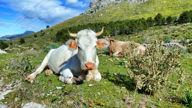 This cow is a happy spanish cow
In Spring, before the sun really burns over Mallorca is the best time to discover the island, which is known for beaches, discos and alcohol abuse. The best way to do that is with hiking boots firmly laced. Follow me all the way to the other side of a well known and complete unknown isle. (Please read chapter one here, chapter two here, three here)
After a quiet and long night in Sóller, a pretty town completely surrounded by mountains, the sun slowly creeps over the peaks in the morning. It's actually only 34 kilometers from here to Palma, Mallorca's capital and the party capital of Europe. But you can't get any further away from the continent's hectic daily life than here. Our starting point is in the middle of the historic town center, not far from the Port de Sóller harbor, which gives Sóller direct access to the Mediterranean Sea.
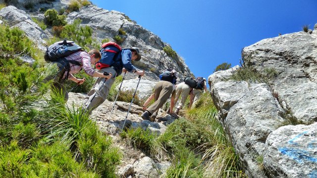 Climbing a hill
It goes up again
But we turn our backs on the Mediterranean. Through citrus plantations we walk to the village of Biniaraix, a long, leisurely path that seems almost comfortable in view of the unexpected hardships that the crossing of the entire Sierre de Tramuntana has already brought us. Then, however, it goes up again: In a ravine, which is called exactly like the place at its end, we jump slowly and sweaty up to the Bauemhof "Cases de l'Ofre". Here the term loneliness gets a face. You don't want to live in this emptyness, never.
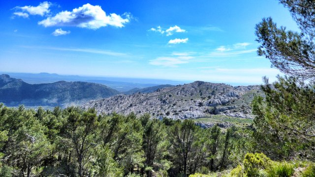 It's a small island with a few ways to go
But we do not stay too. Instead, we follow the numerous stone-epflastered paths that have connected the villages and homesteads here since time immemorial. Every step is a torturte because of the kind of the way. They were all supposedly laid out by the Arabs, some 1.000 years ago. For that, their condition is downright excellent - you don't want to think about what our modern roads will look like in the year 3000.
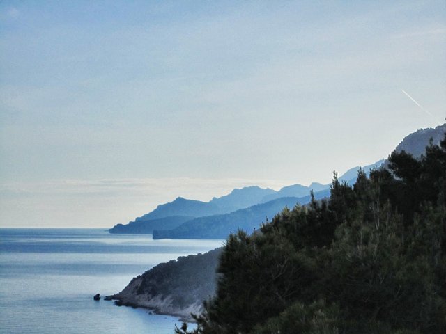 Foggy coastline of Mallorca
Forgotten fortresses
Similar thoughts come to mind when you look at the fortresses that the inhabitants of that time built everywhere to watch the sea, over which pirates kept coming and taking what they could use from the villages. Built of rough stones, the towers, some of which can even be entered, still look like new.
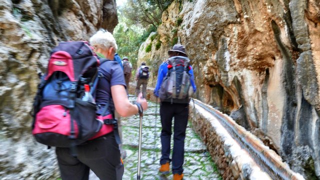 It always goes up, up and up
On the karstic slopes of the northwestern mountain range, the Moors again laid out their elaborate terraces and made the soil fertile through irrigation. Due to the greater settlement and the booming Mallorca bathing tourism, water is even more precious today than it was then. Even now in spring there are only a few streams that carry water, the higher we get the more barren the landscape becomes.
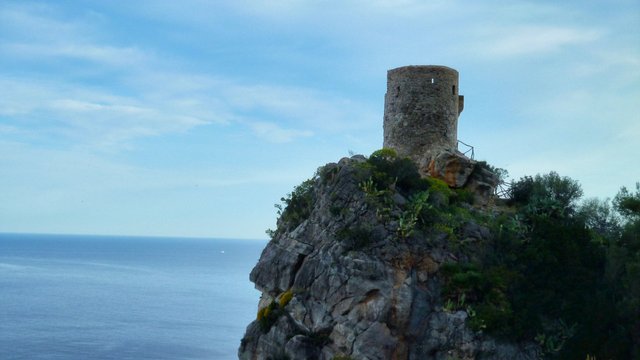 The watchtower on the sea
Slowly but steadily
Our next stage runs through high valleys to the foot of the mountain Puig de l'Ofre. Along the ridge, we now climb slowly but steadily to the 1,093-meter peak, the king of the island, which is admittedly almost 350 meters smaller than Mallorca's highest mountain, the Puig Major, which stretches 1,437 meters into the sky. But once at the top, we have a very good view of the little giant and the valleys around.
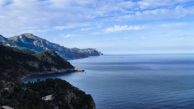 A view along the coastline
1,437 meters, this makes real alpinists smile. Recreational hikers, however, quickly realize that nothing goes here without good shoes, sure-footedness, sunscreen, rain protection, endurance and sufficient water. What begins picturesquely deep down in the valley, grows with increasing height every single day to a steep climbing tour on narrow paths.
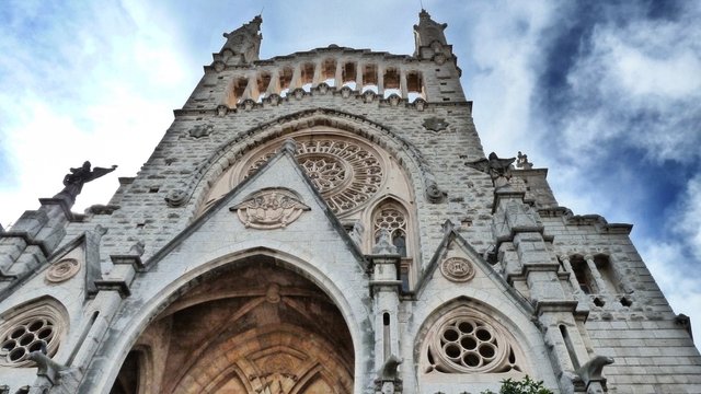 Rich island, very nice churches
One goes on scree field, on impassable terrain and through overgrown meadows. Fortunately, Mallorca is known to be an island, so that the gate tour is rewarded with a new gradiosen view of the sea after almost every bend in the path.
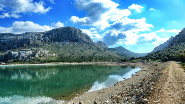 The water treasure of the island
View to the forbidden peak
Or on a peak. No one is allowed to enter the summit of the Puig Major, not since 1958. It is a restricted military area, in the early days not Spanish, but American. In 1953, Spain ceded several army and naval bases to the Americans in return for extensive economic aid. The U.S. military stationed the 880th Aircraft Control and Warning Squadron on the Puig Major, and it operated a gigantic listening facility there.
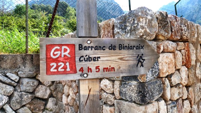 Four hours to go
To build the facility, the summit was removed by five meters because a plateau was needed as a flat surface for the buildings. Mallorca's highest mountain has been a little shorter since then. Sounds like fiction, but it's true. It was not until 1964 that the Americans left, but the military stayed.
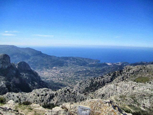 The mediterrean sea
To this day, the Spanish army uses the mountain as a site for one-dimensional radar Lanza 3D , which monitors the western Mediterranean and parts of North Africa, as our guide tells us over a picnic of fresh Mallorca tomatoes, cucumber, cheese and Serano ham.
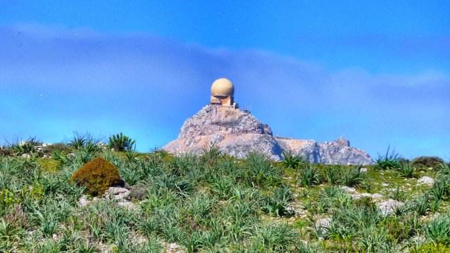 They listen to you
Islands water heart
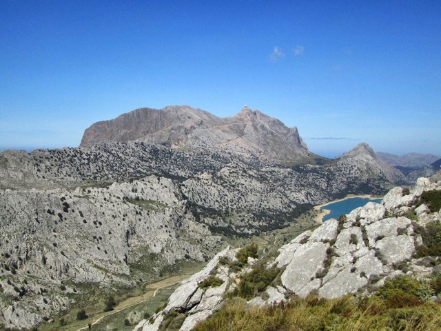
Then work is already waiting again. Walking on the moon of Mallorca. No grass, no trees, no animals here in the heights of the isle. Over the Coll de Cards, which is still 963 meters high, we return to the Mallorcan plain. Below, the picturesque Cüber reservoir awaits, which is enormously important for the island's water supply. What looks like all the way down is still high: at 750 meters above sea level, the water is dammed here, a huge expanse of water that duels with the sky for the most beautiful blue.
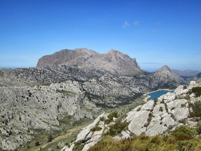 The Cüber reservoir, up in the picture the Nato outpost
The waves glitter, the water plays with the entire repertoire of the ink box - from Caribbean turquoise to darkest marin. It's dream come true when the evening comes and your legs are tired and the food is good and a galss of fine wine is waiting.
Thank you for reading and if you like my work please follow me on Hive, Travelfeed or Steem or visit my homepage koenau.de
A few more pictures for you:
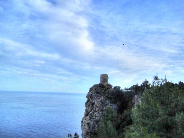 From the tower they're looking for the pirates
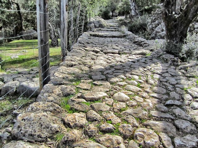 An very old way, hard to go
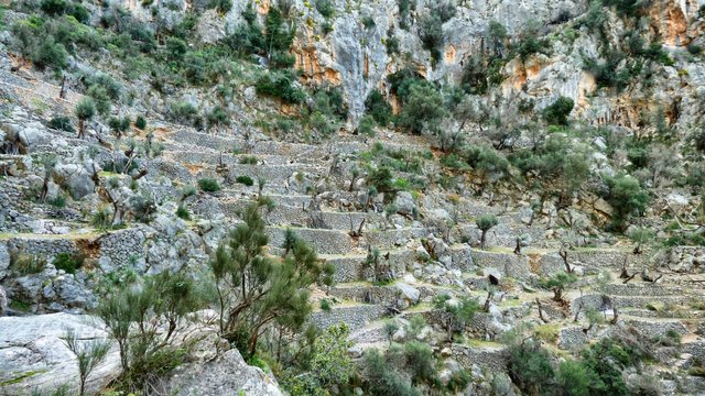 Build by the Arabs
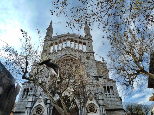 A very old church
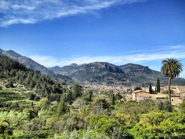 Palms and buildings in the outback
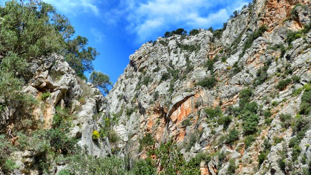 Mallorca has stunning sceneries
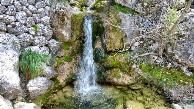 Water is rare in the island
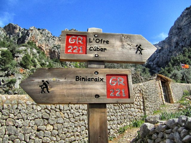 One way or another
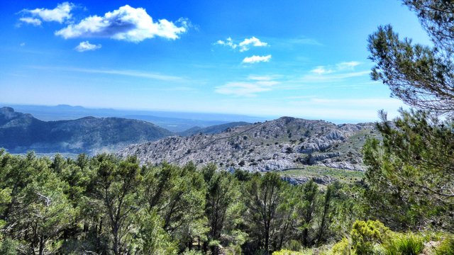 View into the island
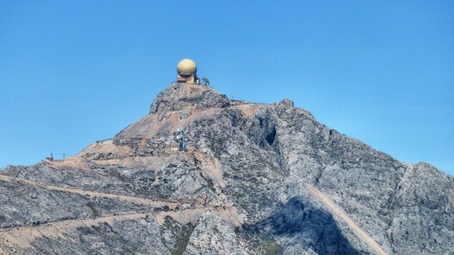 The Nato peak, forbidden area
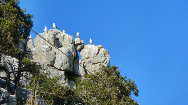 Gulls on a non-Nato-peak
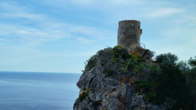 On eof the castles at the coast
Congratulations @koenau! You received the biggest smile and some love from TravelFeed! Keep up the amazing blog. 😍 Your post was also chosen as top pick of the day and is now featured on the TravelFeed.io front page.
Thanks for using TravelFeed!
@smeralda (TravelFeed team)
PS: Did you know that we recently launched the truvvl app? With truvvl, you can create travel stories on the go from your phone and swipe through nearby stories from other TravelFeed users. It is available on the Apple App Store and Google Play.
Downvoting a post can decrease pending rewards and make it less visible. Common reasons:
Submit