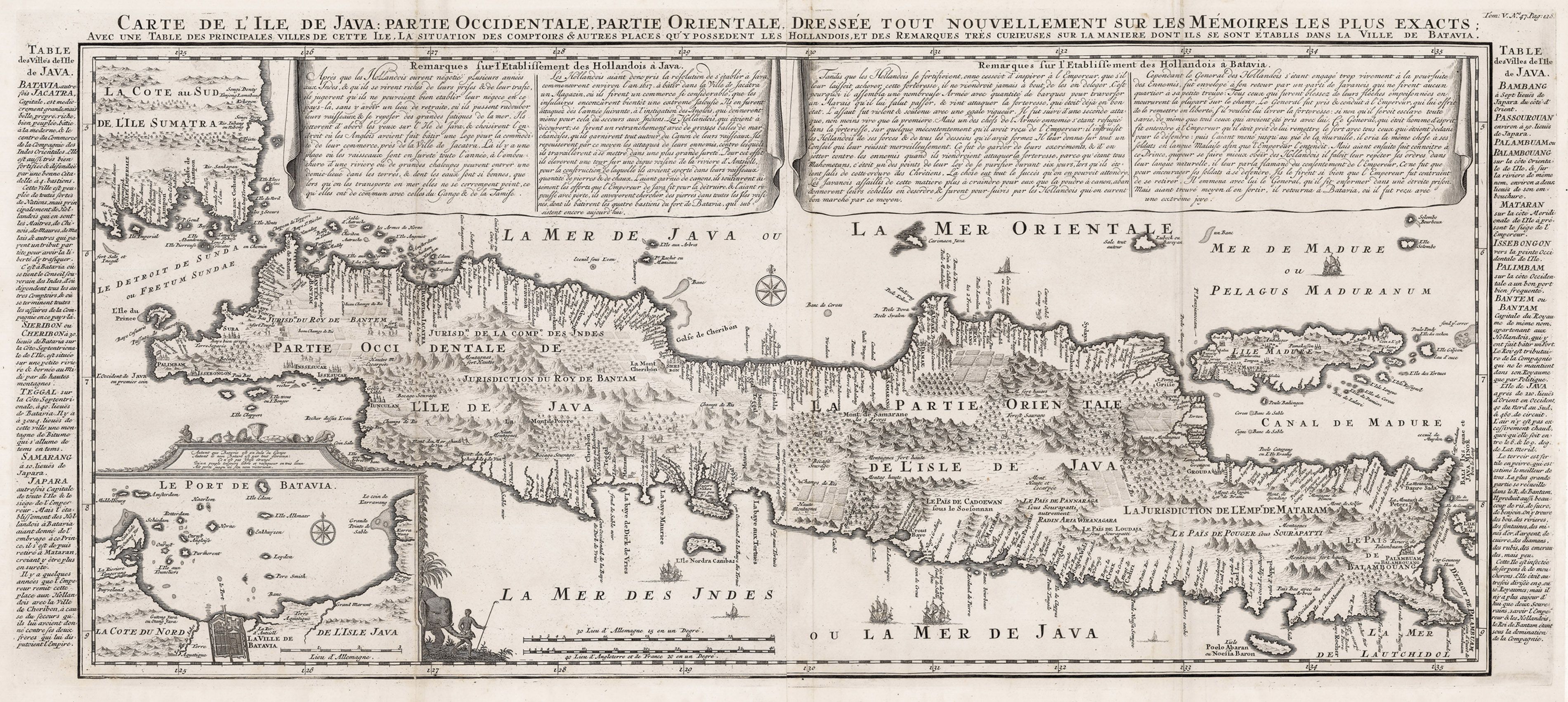
Carte de l'Ile de Java: Partie Occidentale, Partie Orientale, Dressee tout Nouvellement Sur Les Memoires Les Plus Exacts;…
By: Henri Abraham Chatelain
Date: 1719 (published) Amsterdam
Dimensions: 15 x 34 inches (38.1 x 116 cm)
This is an authentic antique map of the island of Java showing portion of Sumatra and Bali. The map was produced for Chatelain’s 7 volume world atlas out of Amsterdam in 1719

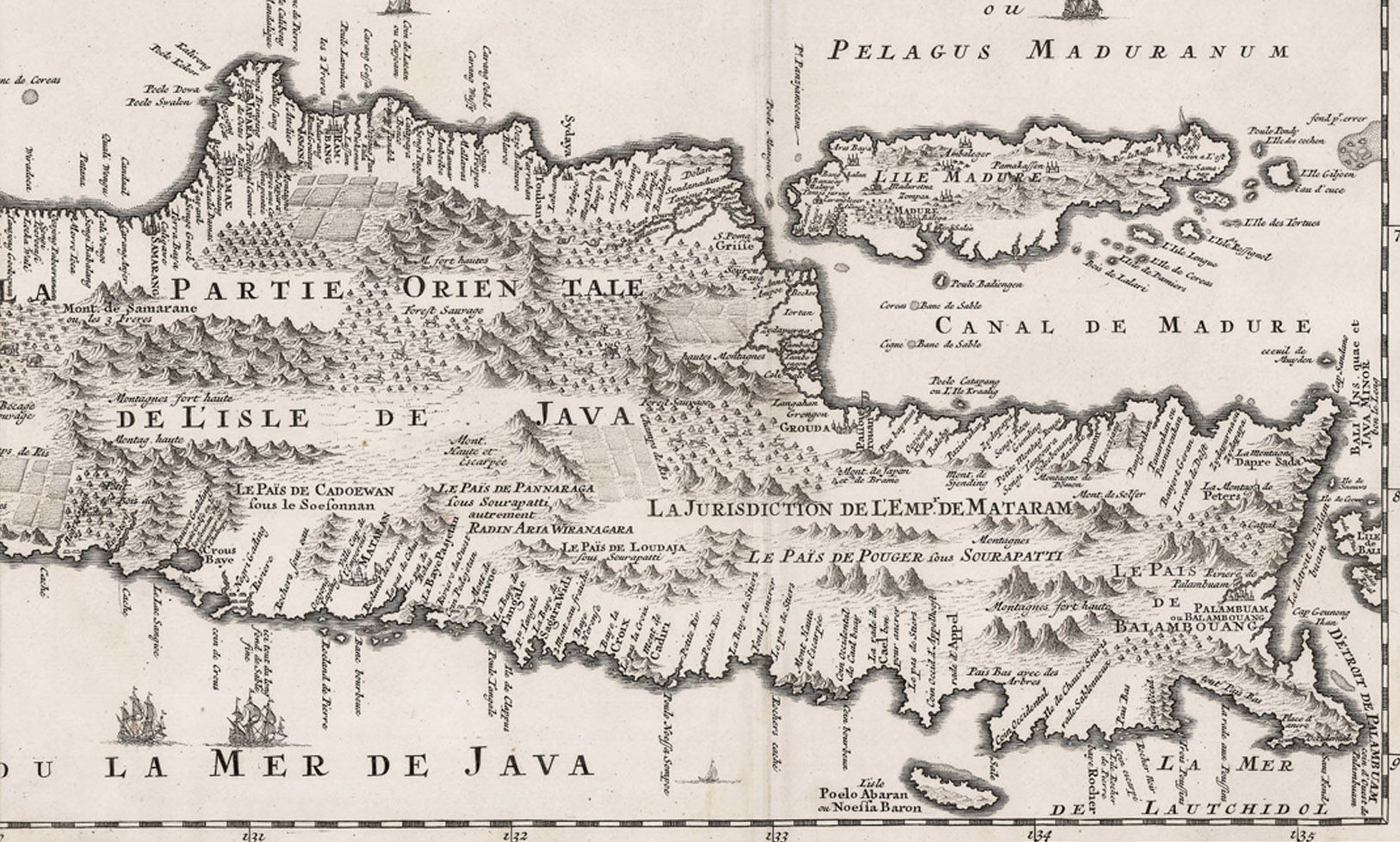
This is without question, the most elaborate, and accurate large format map of the Island of Java and its coastline of the early 18th century. While other maps of the island were produced previous to this one, Chatelain’s was the first to offer a highly detailed and more importantly accurate depiction of the southern coastline, its various bays, villages, outlying reefs, large rocks, and tributaries. While the Dutch East India Company had been very active in the area for quite some time, up until Chatelain’s map there had not been such a wealth of geographic information available to the general public. One can concur that the Dutch East India Company kept whatever data they had collected very close to them, yet somehow Chatelain obtained superior data and quite possibly, some from the Dutch East India Company. Less than a decade later, Johannes Van Keulen II a cartographer employed by the Dutch East India Company, reproduced Chatelain’s map suggesting that their data wasn’t even as complete as that of Henri Chatelain.

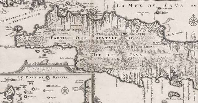
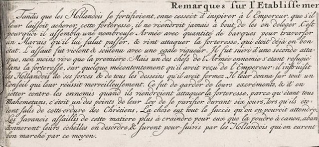
This striking example of Chatelain’s map of Java shows the entire island with such detail that even rice plantations, grazing lands, and forests are included with accuracy. Look closer and notice the many small vignettes of elephants, gazelle, carnivorous cats, and natives throughout the island. The city and port of Batavia (Jakarta) can be found in the northwest portion of the island as well as in a large insert in the lower left portion of the map. Above the map are two drapery style title banners written by Gueudeville, that present the history of the island as well as the presence of the Dutch.

One such story in the French text above describes a Javanese native turning on his people to help the Dutch, likely in return for safe passage to their world. At the time, the Dutch forts were under constant attack from the local tribes and no matter how much firepower the Europeans had, the attacks never seemed to stop. One day, a native from a local village told the Dutch that should the native be "soiled" by Christian, they would have to go through an extensive and extremely unpleasant cleansing process. Thus, the Dutch came up with a new plan to defend their forts by collecting their fecal matter and firing it upon the natives when they attacked. The natives fled and the Dutch were able to secure their forts and enjoy extensive trade throughout the area. Additional text on either side of the map identifies various cities and villages of Java
Find the map and more at (https://www.hjbmaps.com)
Very nice article you have there! But do not forget to cite your sources and credit your images when necessary
Downvoting a post can decrease pending rewards and make it less visible. Common reasons:
Submit
I own the map and scanned it myself. They are my images and I am the original author of the description. In all seriousness, should I cite myself? I don't want to create any confusion or be unnecessarily flagged for plagiarism.
Downvoting a post can decrease pending rewards and make it less visible. Common reasons:
Submit
In that case, you did great and you earned an upvote. If there are indeed no sources of the information and you created all the content yourself you cannot cite sources.
Downvoting a post can decrease pending rewards and make it less visible. Common reasons:
Submit
I deal in antique maps for a living. Much of my day is spent researching and writing descriptions for my maps. Information comes from all over, but my descriptions and images are all my own. This will be the case for just about everything I post.
If not, I will undoubtedly site my source. Thanks for the upvote!
Downvoting a post can decrease pending rewards and make it less visible. Common reasons:
Submit
Interesting, do you happen to have some map of the Balkans?
Downvoting a post can decrease pending rewards and make it less visible. Common reasons:
Submit
I have a few online a some others not yet listed. You can find them on my website under the Southern Europe and Eastern Europe Categories. (https://www.hjbmaps.com/)
Here is one by Homan, 1716
This map is often overlooked since it is oriented south (with North at the bottom) and most people don't recognize what they are looking at. Note the word Dalmatia in the water at the center of the map. It is by Sebastian Munster, 1570.
Downvoting a post can decrease pending rewards and make it less visible. Common reasons:
Submit
This may focus in on your area a bit more. https://www.hjbmaps.com/collections/eastern-europe/products/antique-map-easterneurope-covensmortier-1730
Let me know if you have any questions.
Downvoting a post can decrease pending rewards and make it less visible. Common reasons:
Submit
Thanks!
Downvoting a post can decrease pending rewards and make it less visible. Common reasons:
Submit
Hi! I am a robot. I just upvoted you! I found similar content that readers might be interested in:
https://www.hjbmaps.com/products/1718-carte-de-l-ile-de-java-partie-occidentale-partie-orientale-dressee-tout-nouvellement-sur-les-memoires-les-plus-exacts
Downvoting a post can decrease pending rewards and make it less visible. Common reasons:
Submit