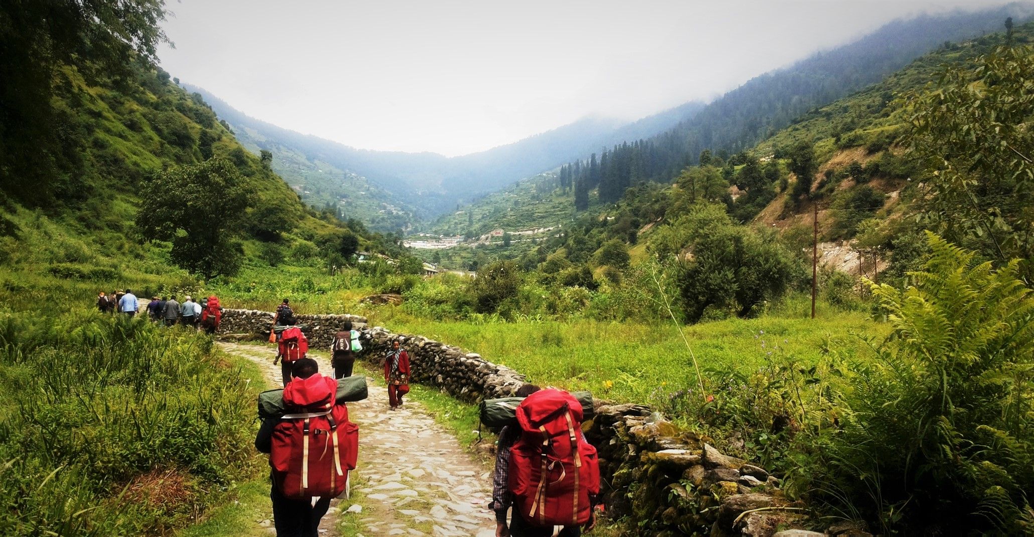
I started my journey from Wan village to 'Rupkund' which is a lake where many ancient human skeletons may be seen and 'Bedni bugyal' which is a high altitude Himalayan meadow and grassland. There one can go only on foot.
.jpg)
This village is at the altitude of 2500 mtr from the sea level and the last place after which no human settlement is present.
.jpg)
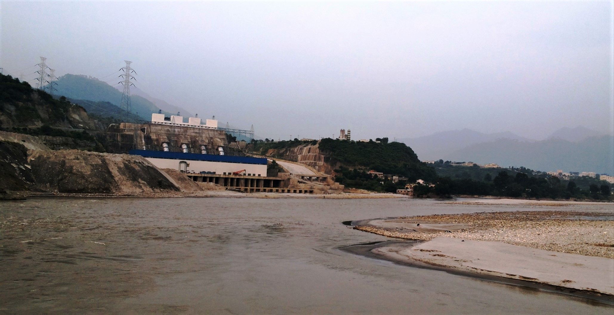
This is a dam where electricity is generated and its water is used for irrigation purpose.
.jpg)
Great scene
Downvoting a post can decrease pending rewards and make it less visible. Common reasons:
Submit
Thanks.
Downvoting a post can decrease pending rewards and make it less visible. Common reasons:
Submit
World of Photography Beta V1.0
>Learn more here<
You have earned 5.50 XP for sharing your photo!
Daily photos: 1/2
Daily comments: 0/5
Multiplier: 1.10
Server time: 03:30:06
Total XP: 100.00/100.00
Total Photos: 19
Total comments: 0
Total contest wins: 0
Follow: @photocontests
Join the Discord channel: click!
Play and win SBD: @fairlotto
Daily Steem Statistics: @dailysteemreport
Learn how to program Steem-Python applications: @steempytutorials
Developed and sponsored by: @juliank
Downvoting a post can decrease pending rewards and make it less visible. Common reasons:
Submit
Great!
Downvoting a post can decrease pending rewards and make it less visible. Common reasons:
Submit