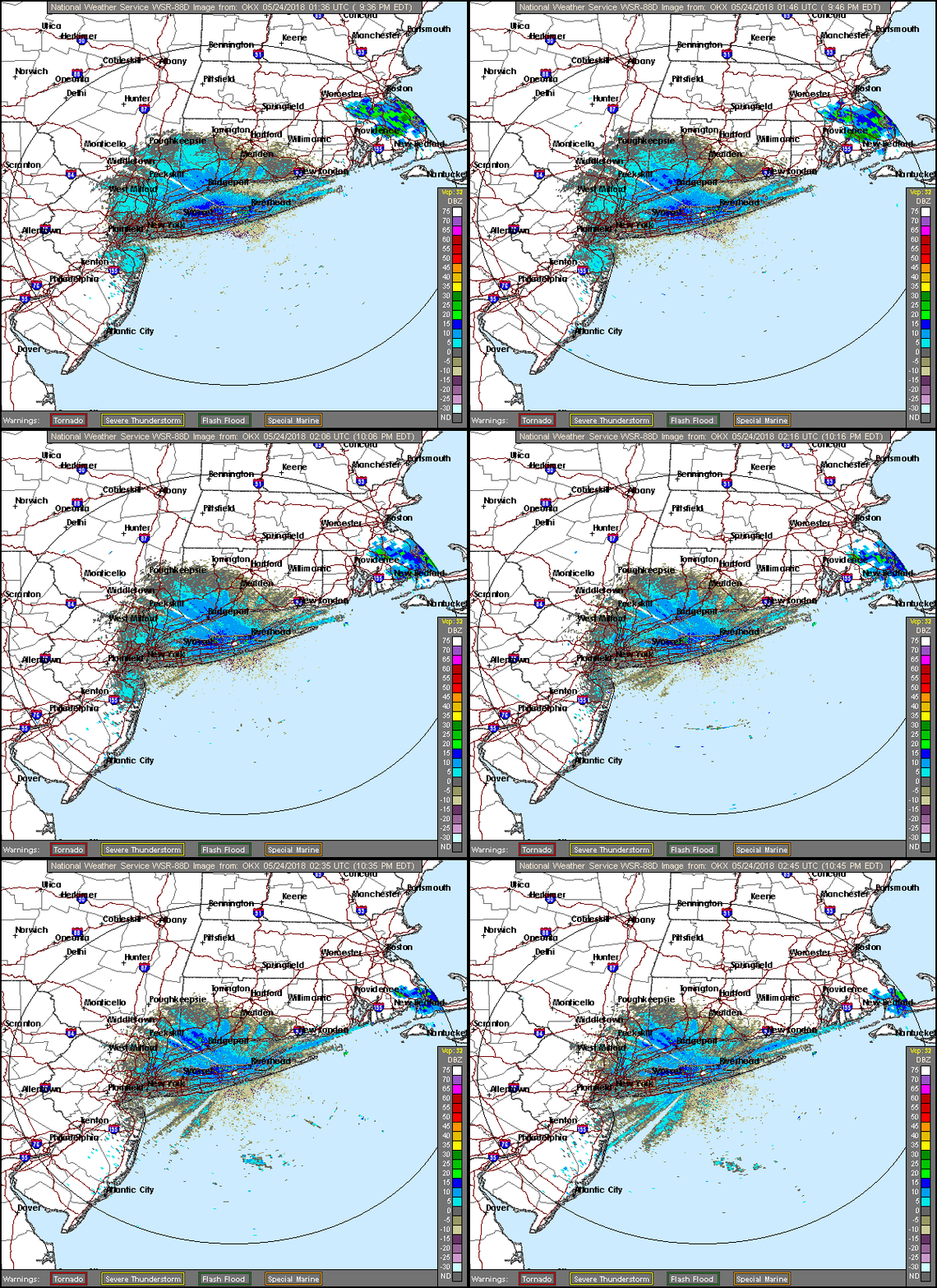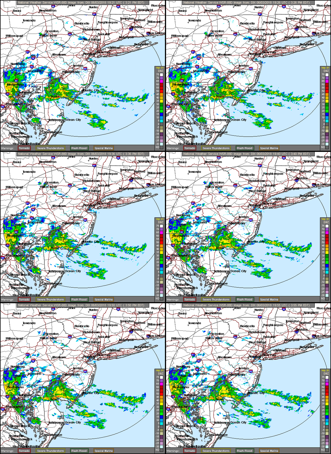
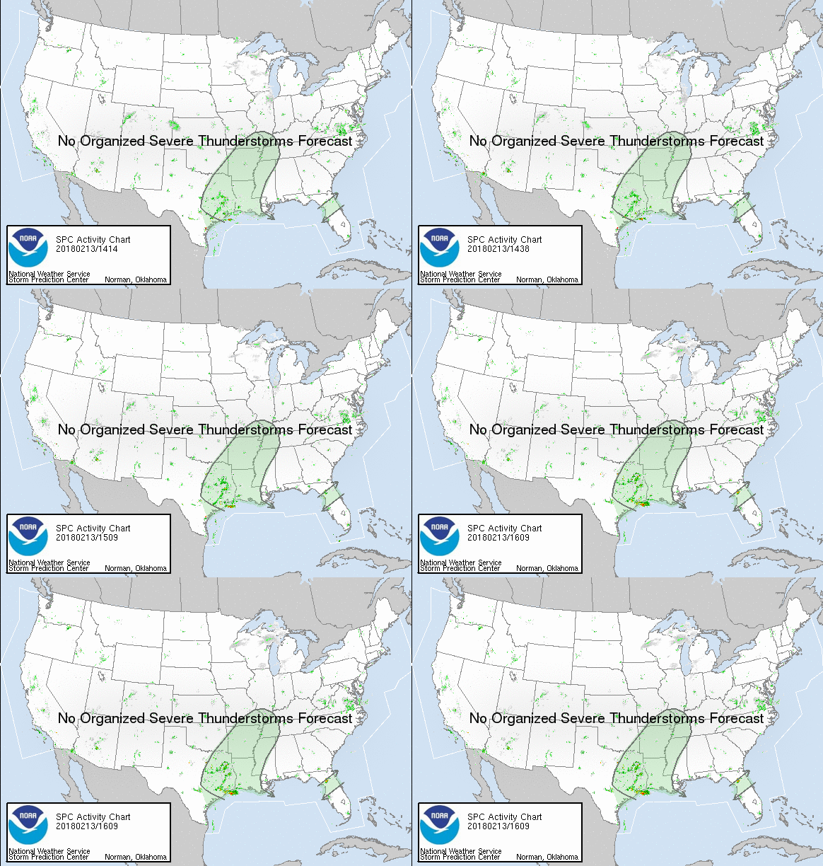
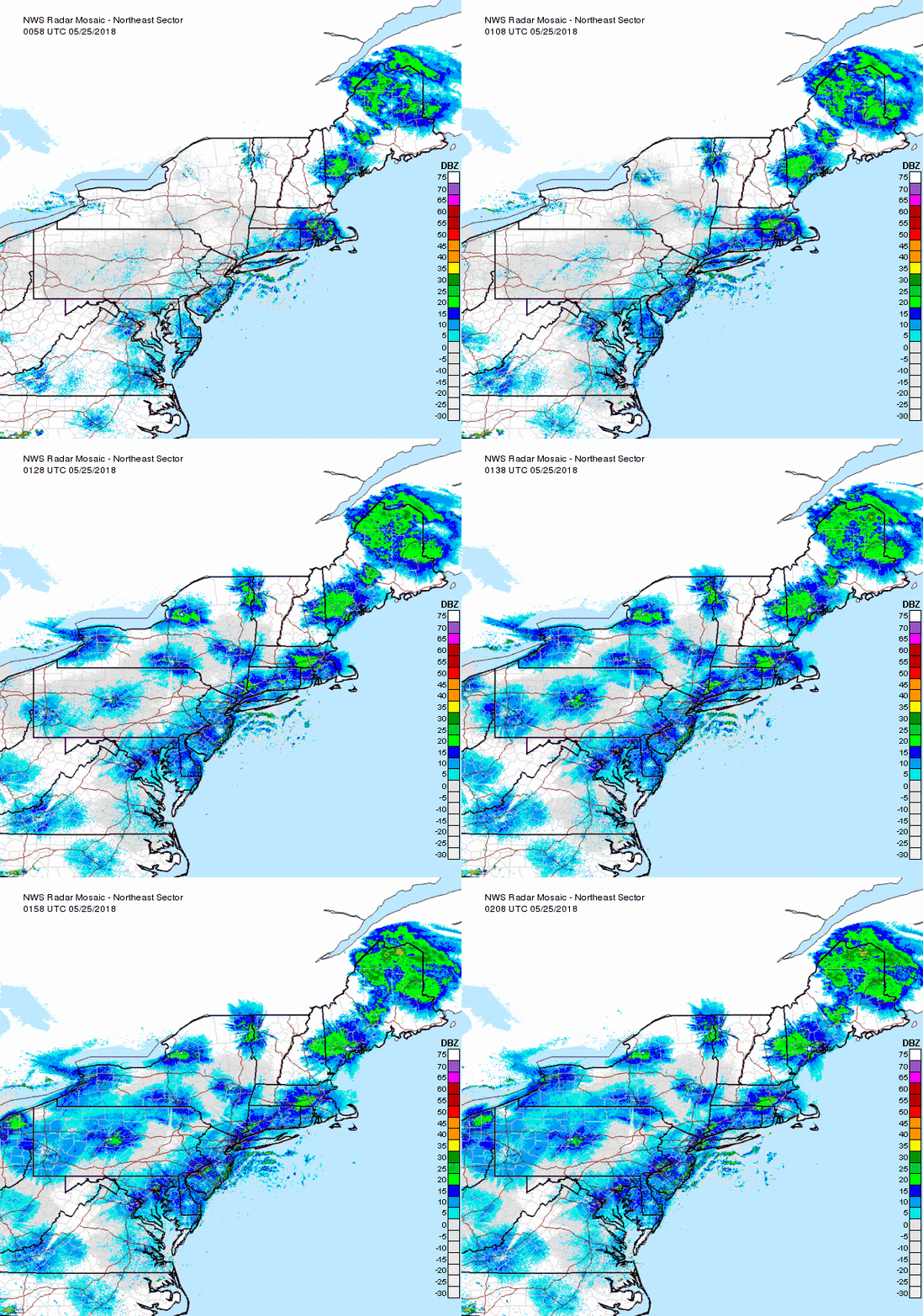
Regional and local radars are showing the rain and thunderstorms to the east and very little if any precipitation to the west. Gradually precipitation will decrease across the radars though it will continue to remain active in New England into this afternoon as the low moves northeastward.
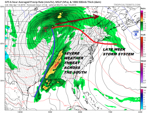
On we go to clearing skies tonight and cold conditions with lows in the mid 30s to lower 40s. Winds will remain rather strong and gusty overnight with west to northwest winds 20 to 30 mph with gusts to near 40. Then we will see sunshine on Tuesday for much of the day though some high clouds will come in from the west during the mid to late afternoon. Highs will be in the 50s to near 60. Then we begin to look ahead to what will likely be the next storm and the next producer of severe weather for the end of the week.
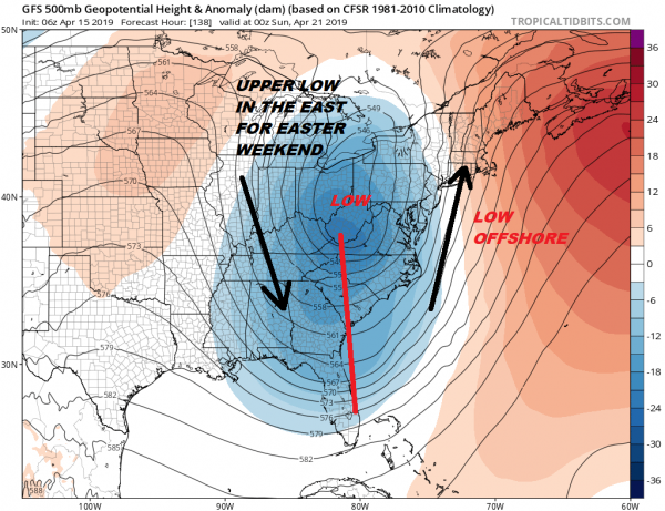
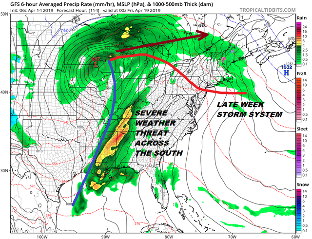
This is going to be another large storm from the standpoint of impact by geography. There will be a warm front that extends east from the developing low and will line up to our south across Maryland and Delaware. This is going to put us in clouds Tuesday night and likely keep us in clouds and the chance for showers from Tuesday night right into Thursday though it won't be raining all the time. It is likely to just be rather cloudy and on the grey side until the warm front moves to our north which won't happen until probably Friday. Then the next storm will approach with the threat for showers, thunderstorms and another round of severe weather across the Eastern US later Friday into Friday night. The Easter weekend is not looking too good with clouds and the chance for showers with a slowing cold front and a very slow moving low pressure area aloft swinging through.
This upper air jet stream profile does not bode well for nice weather and it may take a few days for this system to move out to the east and get out of the way. The good news is that it seems that the recent stormy pattern will slow down a bit here but it still appears like we will have weather systems moving through every couple of days and a long stretch of nice weather seems highly unlikely at this point.
FiOS1 News Weather Forecast For Long Island
FiOS1 News Weather Forecast For New Jersey
FiOS1 News Weather Forecast For Hudson Valley
NATIONAL WEATHER SERVICE SNOW FORECASTS
JOIN JOESTRADAMUS ON YOUTUBE!
LATEST JOESTRADAMUS ON THE LONG RANGE
Posted from my blog with SteemPress : http://www.meteorologistjoecioffi.com/index.php/2019/04/15/wind-advisory-weather-improves-gusty-winds-developing/
