- 1
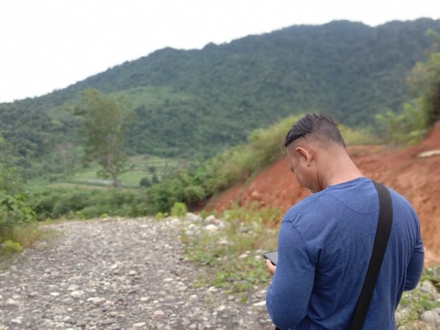
This is Lhok buy (Valley of Pigs), this place is still on the map of lhoksandeng, right where my friend stands is a road that was just made by the local government to make it easier for farmers to go to their newly restored land 6 months ago.
Lhok Sandeng
https://maps.app.goo.gl/23zXHVkuCT79ycuo7
- 2
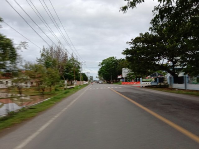
This is the Sumatra Banda Aceh Medan road. the location I took is still in the BIE meunasah area.
Jl. Simpang 4
https://maps.app.goo.gl/EcjSvTye4HeLZXxL9
- 3
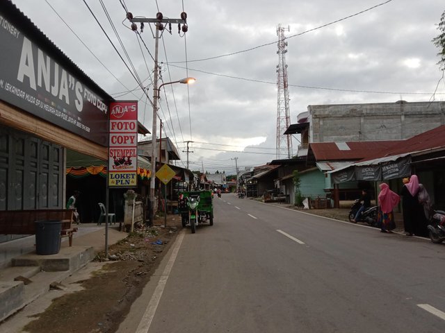
It is the face of the city intersection of Meureudu in the afternoon. This small town is very strategic and easily accessible from various villages.
Jl. Simpang 4
https://maps.app.goo.gl/EcjSvTye4HeLZXxL9
- 4
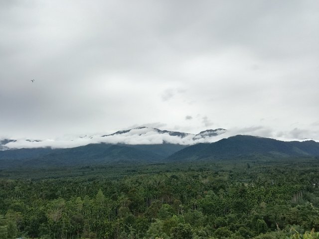
This is the Alue Keumiki valley, far below there are lots of fruit fields, such as rambutan, Langsat, durian mangosteen and mango.
Alue Keumiki
https://maps.app.goo.gl/mGLVXFRkp6z8YczGA

- 5
This is a lemongrass land belonging to the village of Lhoksandeng, with a land area of about 30 hectares. Lhoksandeng includes good lemongrass production in the last three years, and the harvest is bountiful.
Lhok Sandeng
https://maps.app.goo.gl/23zXHVkuCT79ycuo7
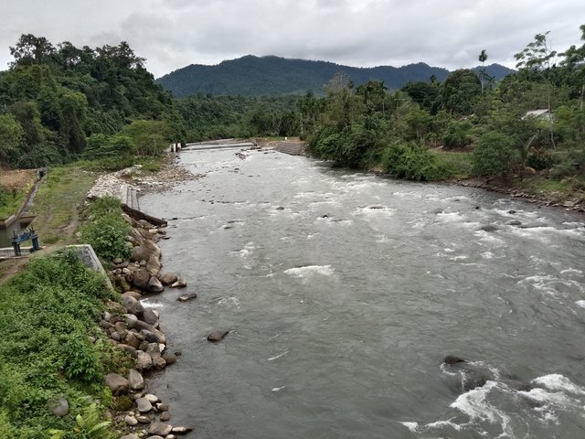
- 6
*The main river which empties into the Meureudeu Sea, this river is well protected by the local population and government. many are fishing to this place even from outside the area."
Lhok Sandeng
https://maps.app.goo.gl/23zXHVkuCT79ycuo7
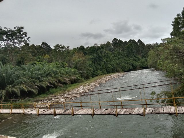
- 7
an old suspension bridge, this bridge was built during the Dutch colonial period entering Aceh, until now this bridge is still intact even though it is no longer used by the local community.
Lhok Sandeng
https://maps.app.goo.gl/23zXHVkuCT79ycuo7
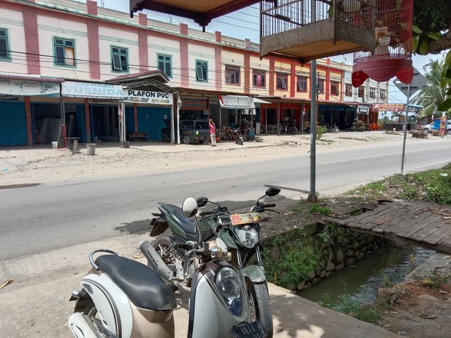
- 8
This is the southern city of Ule Gle
Keude Ulee Gle
https://maps.app.goo.gl/2R2vUzxW394cZikc7
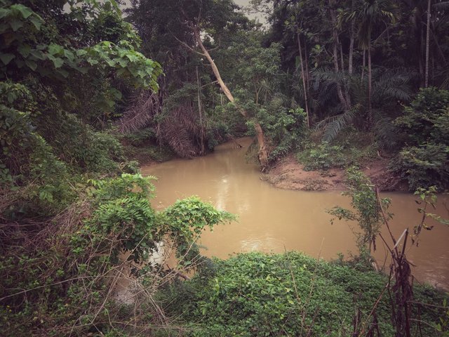
- 9
The river is cloudy in Blang Cari, no one visits this river because it is very thick. but the existence of this river really helps local farmers to revive their oil palm plants.
Blang Cari
https://maps.app.goo.gl/BJ39XspW9SWZkex18
- 10
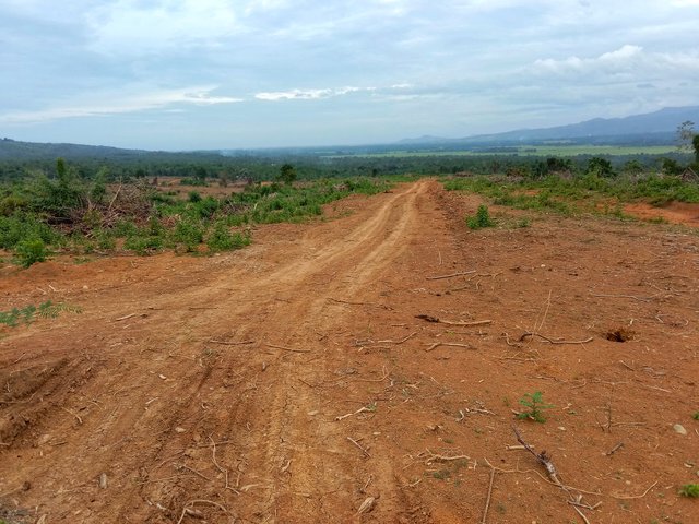
This road was only made about 5 months ago, this road leads to the Alue Keumiki valley.
Alue Keumiki
https://maps.app.goo.gl/mGLVXFRkp6z8YczGA
**Thank you so much**
| 📷 Picture | smartphone |
|---|---|
| Model | Vivo y30i |
| Android | OS_10.0 |
| Oringinal picture | @nazarul |
| Location | aceh |
Mantap bang, saya bisa mengambil sedikit pengetahuan dari konten Anda BG :)
Downvoting a post can decrease pending rewards and make it less visible. Common reasons:
Submit
Terimakasih @tinta-tertuang
Downvoting a post can decrease pending rewards and make it less visible. Common reasons:
Submit