Let's do some hiking!
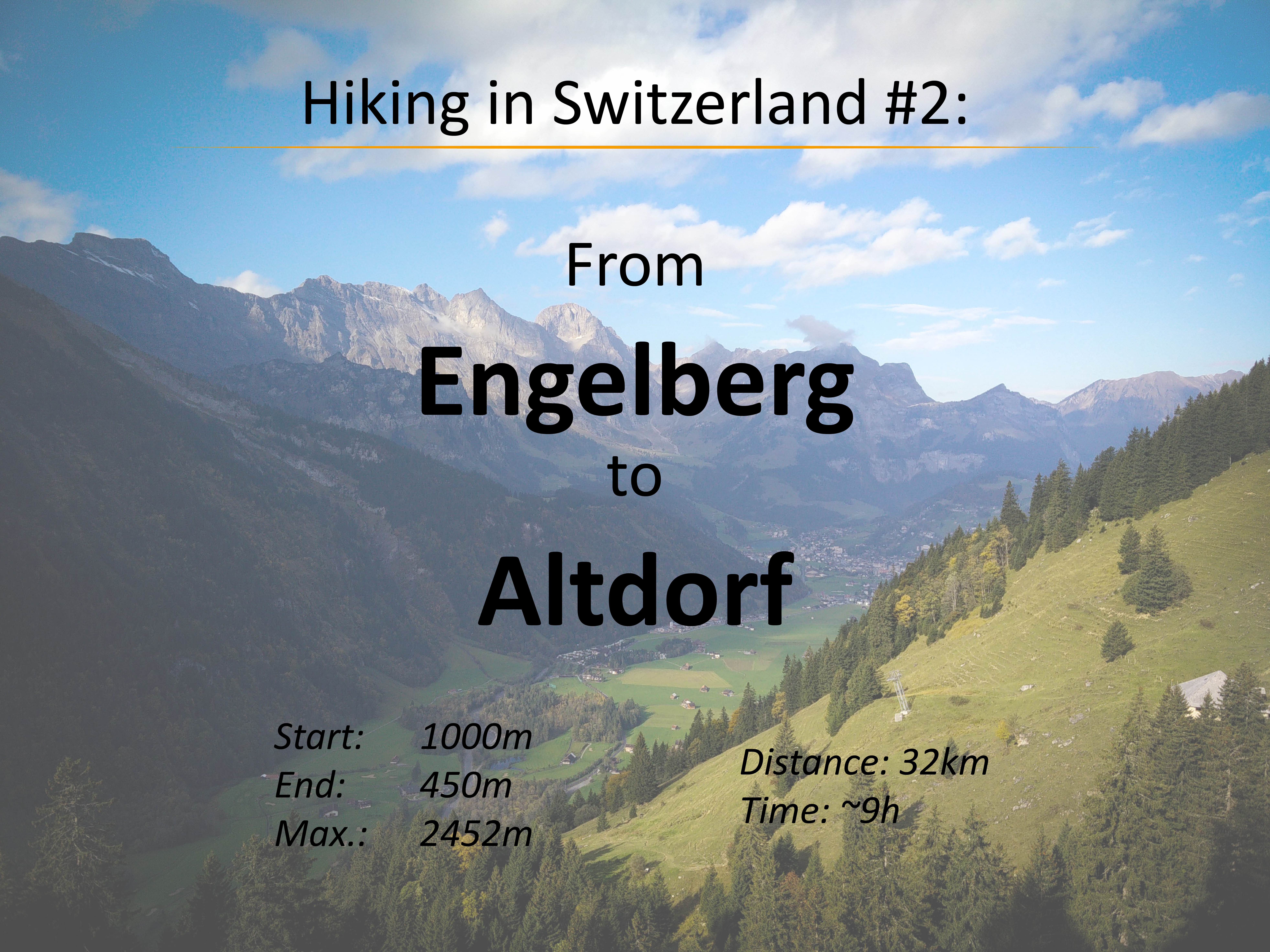
Today we will go on a medium hike from the small village of Engelberg to Altdorf. We will start in the valley of Engelberg and cross over the Surenenpass to Altdorf. Both are located in the canton Obwalden in the center of switzerland. Engelberg and the Titlis mountain (3238m) are well known and among the most famous skiing places in Switzerland. Not only do locals and ski enthusiasts come here, as it is located a mere 2 hour train ride from Zurich, huge amounts of tourists step by the top of this mountain every year. The short ride makes it the closest and probably one of the best skiing areas. Due the elevation of 3238m at the top and it's location at the north of the alps, snow is basically quaranteed.

However, today we are not going to ski (maybe I will add some skiing impressions later). We will take a slightly different path on the other side of the valley across from Titlis mountain. After starting in Engelberg, we contine to walk south further into the valley. Almost at the end of a valley, one can see the Fürenalp gondola station. We will leave the main road 300 meters before and go up to the Fürenalp by foot. Of course, one can also take the gondola to keep some energy for later!
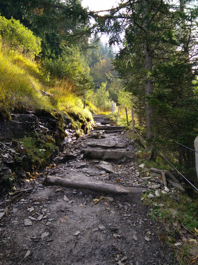
After a rough ascent to 1800 meters we reach Fürenalp. We take a short break here, before we continue to follow the mountain. There's also a small restaurant, to fill up water or go for a poop. The valley starts to shift left (east) as we contine to climb.

It seems like an endless stretch. You think you are already at the top - and then it keeps going. You think you can see the top, but it's just another tip on the way to the top. So - keep walking! And don't give up. You will be rewarded, once again, with a great view!
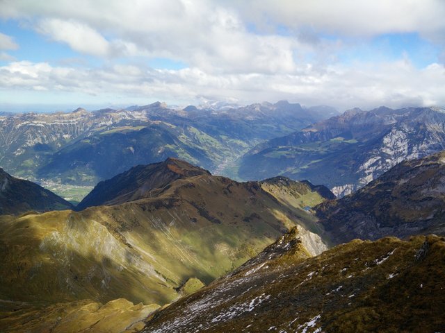
After roughly 4 1/2 hours we reach the Surenenpass at 2300meters. As we still have lots of energy, we take a small hike further up to get a better view. This is the way we came from / the way up.

And we eventually have to go all the way down (and even further) to Altdorf, which is more than 500m in elevation lower as Engelberg! So better not take too long of a break at the top, as going down can also be hard on you - especially on your knees.

As the route to Altdorf is quite some way, we had to hurry a bit. We followed the ridge on the left of the upper picture. You may be able to see the ridge split in two in the middle of the picture. We take the left ridge as it brings us on a smooth trail towards Altdorf. It continuely descends just until we can already see Altdorf. Now it's time to go down fast! Within an hour you are descending almost 1000 meters. From where the trail meets the city to the train station, it's still 3 kilometers. There was also the option to go the rest of the way with the bus, however, as we already did 30km, we thought "Well, let's do those 3km too!".
Overall it's a great hike. The route is quite long, so taking the gondola up to Fürenalp is an option to reduce some time and make the hike more relaxing. Also, there might be different options to descrend once hitting the pass.
From Engelberg train station to Altdorf train station
Distance: 32 km
Starting altitude: 1000m
Finish altitude: 40m
Highest altitude: 2450m
Up: 2200m
Down: 2740m
Time total including breaks: ~9h
Breathtaking. Great detailed report!
Downvoting a post can decrease pending rewards and make it less visible. Common reasons:
Submit
Wow! That look like a nice place!
Downvoting a post can decrease pending rewards and make it less visible. Common reasons:
Submit
Just wait for what's to come! I am just getting started ;)
Downvoting a post can decrease pending rewards and make it less visible. Common reasons:
Submit
Holy moly! Those are some corking views. It's a shame there's nothing like this near London. You just earned yourself a new follower! You're the 2nd person I've ever followed - I just joined and made my first post tonight!
Downvoting a post can decrease pending rewards and make it less visible. Common reasons:
Submit
Thank you! Stay tuned for more! And yeah... Living in a big city is not always the best ;)
Downvoting a post can decrease pending rewards and make it less visible. Common reasons:
Submit
I thought I'd followed you but I was mistaken. Now following! ✌️️
Downvoting a post can decrease pending rewards and make it less visible. Common reasons:
Submit
Thanks!! I hope you won't regret ;)
Downvoting a post can decrease pending rewards and make it less visible. Common reasons:
Submit
wow
Downvoting a post can decrease pending rewards and make it less visible. Common reasons:
Submit
Great report ,looking forward to more hiking trail reports.
Downvoting a post can decrease pending rewards and make it less visible. Common reasons:
Submit
Beautiful photos
Downvoting a post can decrease pending rewards and make it less visible. Common reasons:
Submit