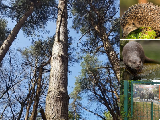
Wilder Wander’s free app, which launched earlier this summer, takes scientific data from research on biodiversity, space, the earth, oceans and weather patterns, and turns it into interactive, outdoor games.
A scavenger hunt was designed by Wilder Wander for this bank holiday weekend’s All Together Now festival in Curraghmore House, Co Waterford.
Founder Vicki O’Donnell describes the app as “like a mix between geocaching and orienteering”.
It uses global positioning system (GPS) points to navigate different locations. Interactive games include content about natural history and heritage particular to an area and users can take part in quizzes and challenges. The app is linked back to maps and leaderboards on the website.
It brings an extra dimension. It’s not like just a tour of somewhere; there’s some competition, as well
Ms O’Donnell studied zoology and worked in maritime research in UCC for a number of years.
She was deployed by Irish Aid’s Rapid Response Corps and worked with the UN on emergency tool development.
As an information specialist, she worked with NGOs to make sense of information “flying around at the beginning of emergencies” to find where the biggest needs were.
She is applying that experience of transforming raw data into easily understood information for the Wilder Wander end-user.
An example are large bird surveys carried out by BirdWatch Ireland. That data is put onto the National Biodiversity Data Centre’s database, and then onto a global data centre.

Although this data is widely and publicly-available, there are problems with usability.
Ms O’Donnell said much of the data uses the Latin names, is often in a grid format, and it’s not possible to see the exact location where a species was sighted.
Wilder Wander aims to transform this “ugly data” to show people the wildlife around them and what, potentially, should live all around them, if woodlands are protected.
This will encourage users to be more aware of their environment and the importance of biodiversity. She said the app has the added benefit of getting people out and about and “throwing in a bit of exercise”.
Children are running around, playing games. It’s a really easy way to get them out moving, without them realising it.
she said
People might say we don’t want kids outside with their devices. But some kids won’t go outside unless they have a device. That’s how many kids learn now
The third aspect to the platform is the reuse of scientific data. Ms O’Donnell said much of the data collected sits on a shelf somewhere. She referred to one statistic, which estimates that each data point that’s collected can cost up to 50 cent. With almost one billion data points in the world, that data is very expensive, she said.
Another element to the app is the local history feature. Ms O’Donnell said that people may have walked in an area for years, but didn’t realise such and such happened here.
Ms O’Donnell took part in Enterprise Ireland’s New Frontiers Phase 2 programme, earlier this year, and was granted a stipend of €15,000, which allowed her to develop the company.
The Wilder Wander app can be in different locations and reused again and again. It’s free for the end-user, with revenue coming from local councils, event and festival organisers, and wildlife and heritage organisations.
The company is building a learning-management system for school and community groups, and a subscription model for training. Further potential uses are a citizen science tool to enable the public to collect data that can be linked to satellite imagery, to look at climate change.
While Wilder Wander is at an early stage, it has, however, its sights set on the global market.
The UK is a target, Ms O’Donnell said, as organisations such as the National Trust and other NGOs would have a couple of million subscribers.
