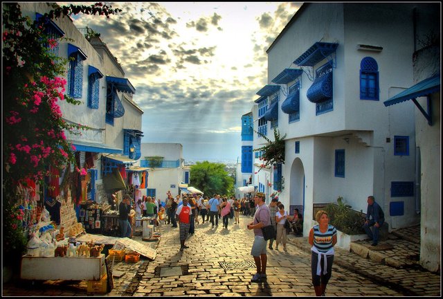
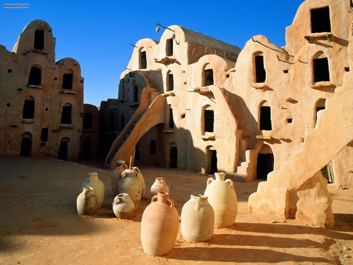
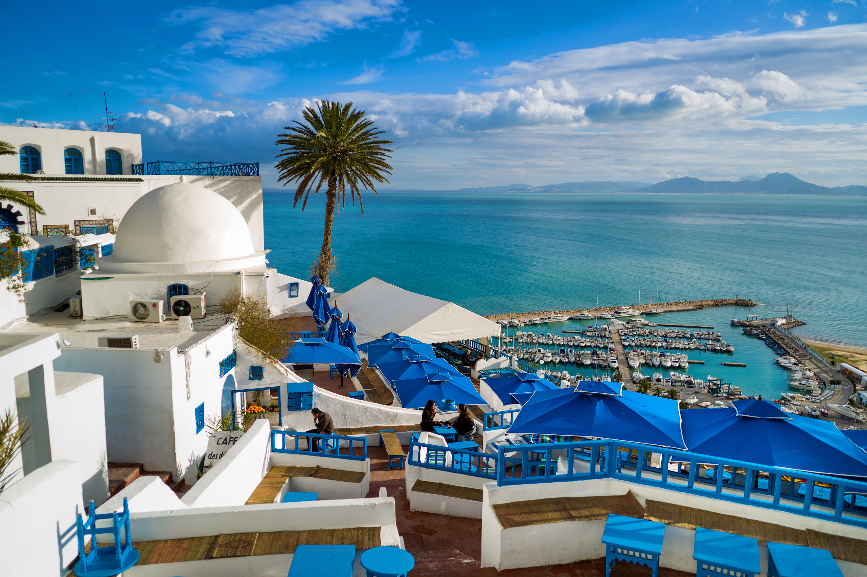
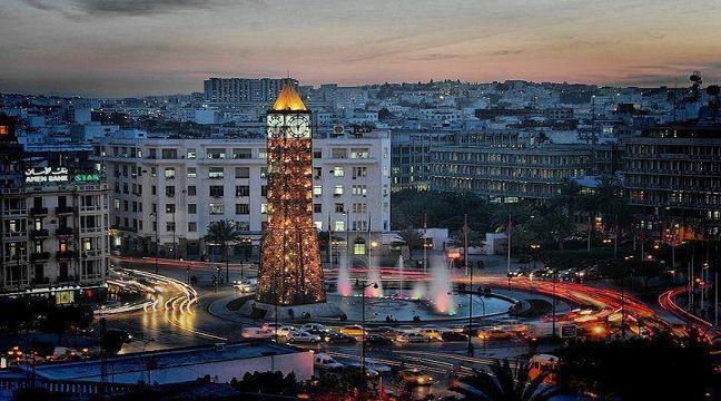
Tunisia is a country in Northern Africa, bordering the Mediterranean Sea, having a western border with Algeria (965 km) and south-eastern border with Libya (459 km) where the width of land tapers to the south-west into the Sahara. The country has north, east and complex east-to-north coasts including the curved Gulf of Gabès, which forms the western part of Africa's Gulf of Sidra. Most of this greater gulf forms the main coast of Libya including the city of Sirte which shares its root name. The country's geographic coordinates are 34°00′N 9°00′E. Tunisia occupies an area of 163,610 square kilometres, of which 8,250 are water. The principal and reliable rivers rise in the north of the country with a few notable exceptions from north-east Algeria and flow through the northern plain where sufficient rainfall supports diverse plant cover and irrigated agriculture.

 !
! 68f3433ff82b263eb555866cda9cd375.jpg](
 )
)

Authors get paid when people like you upvote their post.
If you enjoyed what you read here, create your account today and start earning FREE STEEM!
If you enjoyed what you read here, create your account today and start earning FREE STEEM!
Very interesting
Downvoting a post can decrease pending rewards and make it less visible. Common reasons:
Submit
Hi! I am a robot. I just upvoted you! I found similar content that readers might be interested in:
https://en.wikipedia.org/wiki/Geography_of_Tunisia
Downvoting a post can decrease pending rewards and make it less visible. Common reasons:
Submit
so i should delete this post !
Downvoting a post can decrease pending rewards and make it less visible. Common reasons:
Submit