
Hallo liebe Steemians,
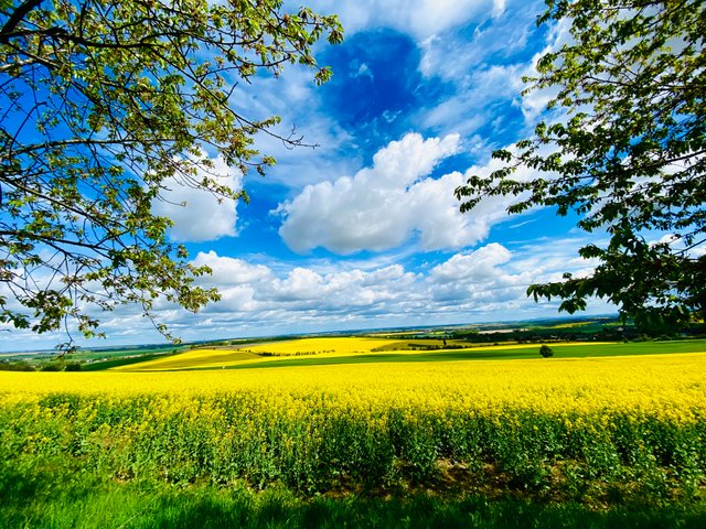
es ist der 23.05.2021 und wir haben Pfingsten. Auch wenn das Wetter noch keinen sommerlichen Eindruck macht, zieht es die Menschen in die Natur. Sie wollen frische Luft, bunte Farben und vor allem Bewegung.

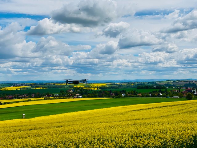

Natürlich bin auch ich so, und verbringe die Zeit im Frühling und Sommer gern draußen. Wenn ich dabei noch meinem Hobby nachgehen kann, ist das um so schöner. Heute Morgen schien doch längere Zeit die Sonne, so das ich mich dazu entschlossen habe, wieder einmal den Landberg zu besuchen.

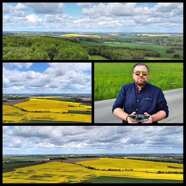

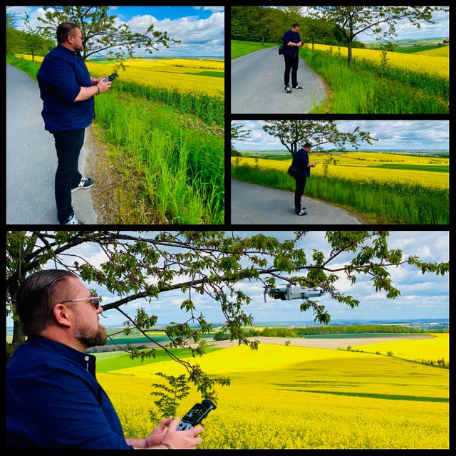
Auch mit dabei, meine kleine Drohne, die DJI Mini 2. Ich hatte zwar ein paar bedenken wegen des fliegen, denn der Wind wehte schon recht stark, aber manchmal muss man ein kleines Risiko eingehen. Wie ihr im Video sehen könnt, hat sich das Risiko aber gelohnt, denn es sind einige schöne Bilder aus der Luft entstanden.

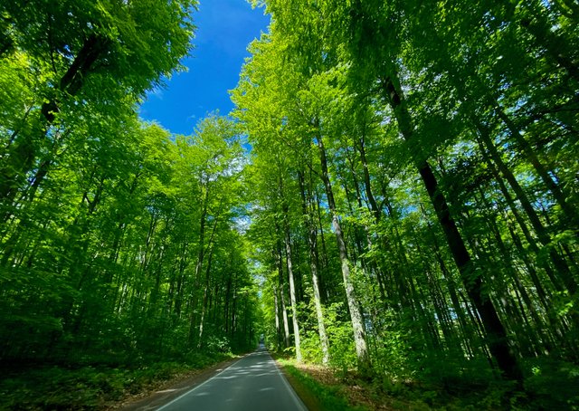

Hier gibt es jetzt noch etwas Information zum Landberg und damit wünsche ich euch allen, ein schönes Rest Wochenende.
Der Landberg (426 m ü. NN) befindet sich im Tharandter Wald bei Herzogswalde im Freistaat Sachsen.
Der flache und bewaldete Landbergrücken bildet die nördlichste Landmarke des Tharandter Waldes und sogar des gesamten Erzgebirges. Der Berg mit seinem charakteristischen Nordhang ist besonders von Osten her gut zu erkennen. Der Landberg befindet sich zwischen den Ortschaften Pohrsdorf (Stadtgemeinde Tharandt) und Herzogswalde (Stadt Wilsdruff). Nordwestlich des Berges befindet sich eine gleichnamige Siedlung mit wenigen Häusern. Vom Landberg hat man aufgrund eines fehlenden Aussichtsturms nur Ausblick auf die nördliche Umgebung, zum Beispiel auf das sich nördlich anschließende Wilsdruffer Land oder auf Dresden. Ein weiterer Ausblick vom Landbergmassiv ist in Richtung Pohrsdorf möglich.
Der Landberg bildet die Wasserscheide zwischen den Elbe-Zuflüssen Wilde Sau und Triebisch.
Bis 1991 war das Bergplateau militärisches Sperrgebiet der sowjetischen Streitkräfte in Deutschland. Von 1994 bis 1998 war der Verwaltungsverband Landberg, zu dem sich vier Gemeinden der Region zusammengeschlossen hatten, nach dem Berg benannt.

Press the play button


English
Hello dear Steemians,
it is May 23rd, 2021 and we have Pentecost. Even if the weather does not yet make a summery impression, people are drawn to nature. They want fresh air, bright colors and, above all, exercise.


Of course I'm like that too, and I like to spend my time outside in spring and summer. If I can still pursue my hobby at the same time, that's all the nicer. This morning the sun was shining for a long time, so I decided to visit the Landberg again.


Also with me, my little drone, the DJI Mini 2. I had a few concerns about flying, because the wind was blowing quite strong, but sometimes you have to take a small risk. As you can see in the video, the risk was worth it, because some beautiful pictures were taken from the air.


Here is some more information about the Landberg and with that I wish you all a nice rest of the weekend.
The Landberg (426 m above sea level) is located in the Tharandt Forest near Herzogswalde in the Free State of Saxony.
The flat and wooded mountain ridge forms the northernmost landmark of the Tharandt Forest and even of the entire Ore Mountains. The mountain with its characteristic northern slope is particularly easy to see from the east. The Landberg is located between the villages of Pohrsdorf (town of Tharandt) and Herzogswalde (town of Wilsdruff). To the northwest of the mountain there is a settlement of the same name with a few houses. From the Landberg, due to the lack of an observation tower, you only have a view of the northern surroundings, for example the Wilsdruffer Land to the north or Dresden. Another view from the Landberg massif is possible in the direction of Pohrsdorf.
The Landberg forms the watershed between the Elbe tributaries Wilde Sau and Triebisch.
Until 1991, the mountain plateau was a restricted military area for the Soviet armed forces in Germany. From 1994 to 1998 the Landberg administrative association, to which four municipalities in the region had come together, was named after the mountain.


Photos and Video by @HomeArtPictures / @Chrissysworld

