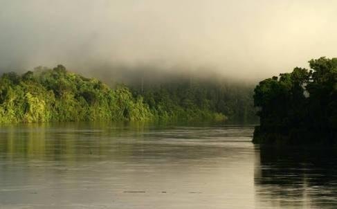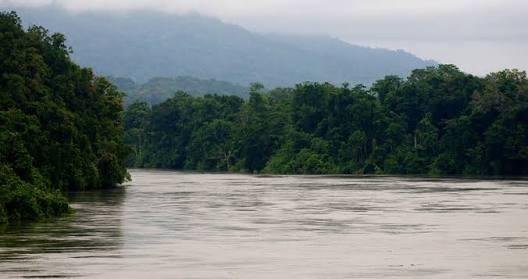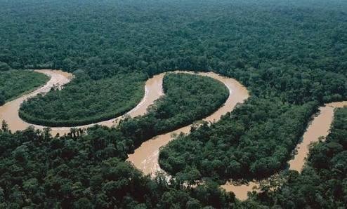
Mamberamo River is a 670 km long sungais located to the south of the Foja Mountains, Sarmi Regency, Papua Province. The name "Mamberamo" comes from Dani - mambe means 'big' and ramo means 'water'. Several indigenous tribes settled in this biodiversity-rich river basin, hence Mamberamo nicknamed 'Papua's Amazon'. Mamberamo River is the largest wide river in Indonesia. ,,,,
In 1545, a sailor named Yñigo Ortiz de Retez traced the area along the north coast of the island to the mouth of the Mamberamo River. At this location, he claimed the island as belonging to the Kingdom of Spain and named it Nueva Guinea ('New Guinea' in Spanish) known today. ,,,

,, river water source comes from the encounter between some of the major tributaries, namely Tariku, Van Daalen and Taritatu. The water then flows northward through the valley of the Van Rees Mountains to reach the delta section of the lowland swamp. The river eventually empties into the Pacific Ocean at the northern point of Cape D'Urville. Lake Rombebai and Bira are located along the river.
Geologically, Mamberamo and the surrounding area is quite interesting because it is composed by the deposition of sedimentary rocks to reach thousands of meters thick and is cut by a complex geological structure. Also because they are influenced by active tectonic pressure, in some places appear natural phenomenon of discharge of the mudflow from the earth (mudvocano). This phenomenon is easily recognizable from the appearance on the ground that if observed from the air forms a collection of mud and sand is gray circular with a diameter of more than 50 m that appears in the middle of dense forest.

The 670 km river has a catchment area of 138,877 km². The depth of the river ranges from 8 to 33 m. According to research in 1983, the water debit was able to reach 5,500 m³ / sec.
The landscape around the river varies. In areas such as steep mountains upstream, downstream areas are plain swampy, and in the central part of the basin in the form of broad plateau. Rainfall in the watershed (DAS) of Mamberamo can reach 5,600 mm / year.
Beautiful Photograph
Are you a Photographer i made a post on my Experience of photography and also share "HOW I EDIT MY PHOTOS"
Please check it and if you like it please UPVOTE & RESTEEM it.
I also want to read your experience if you have free time please share your experience of photography with me and other steemians.
Here is the link of my post.
https://steemit.com/steemit/@omrusman/how-i-edit-my-photos
waiting for your response
Downvoting a post can decrease pending rewards and make it less visible. Common reasons:
Submit
Nice picture
Downvoting a post can decrease pending rewards and make it less visible. Common reasons:
Submit
Beautiful :) follow
Downvoting a post can decrease pending rewards and make it less visible. Common reasons:
Submit