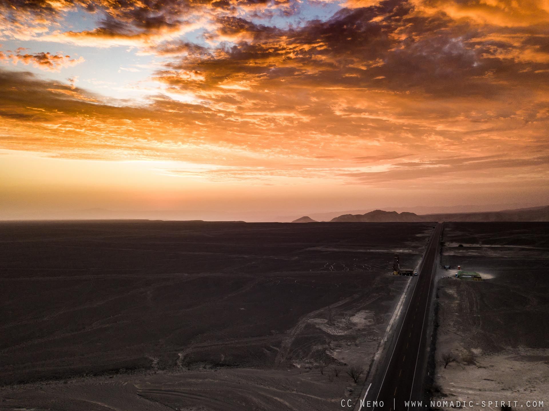
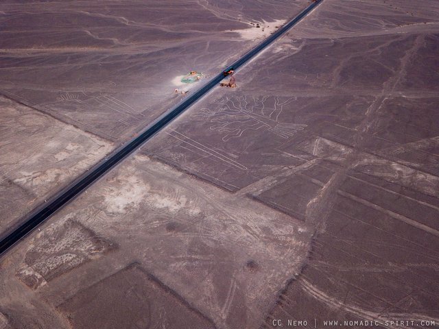
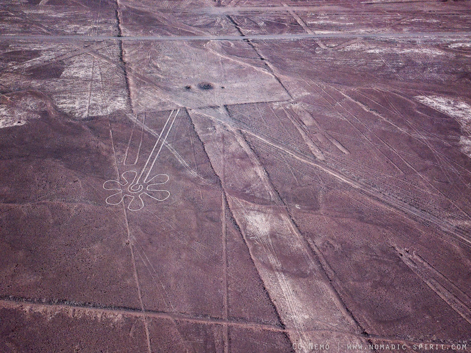
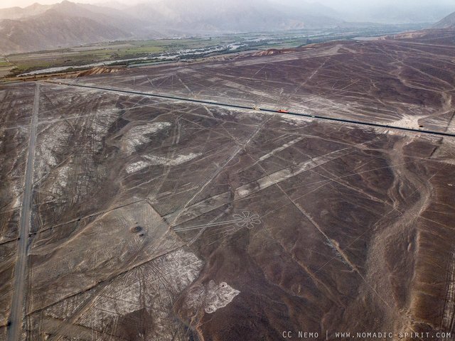
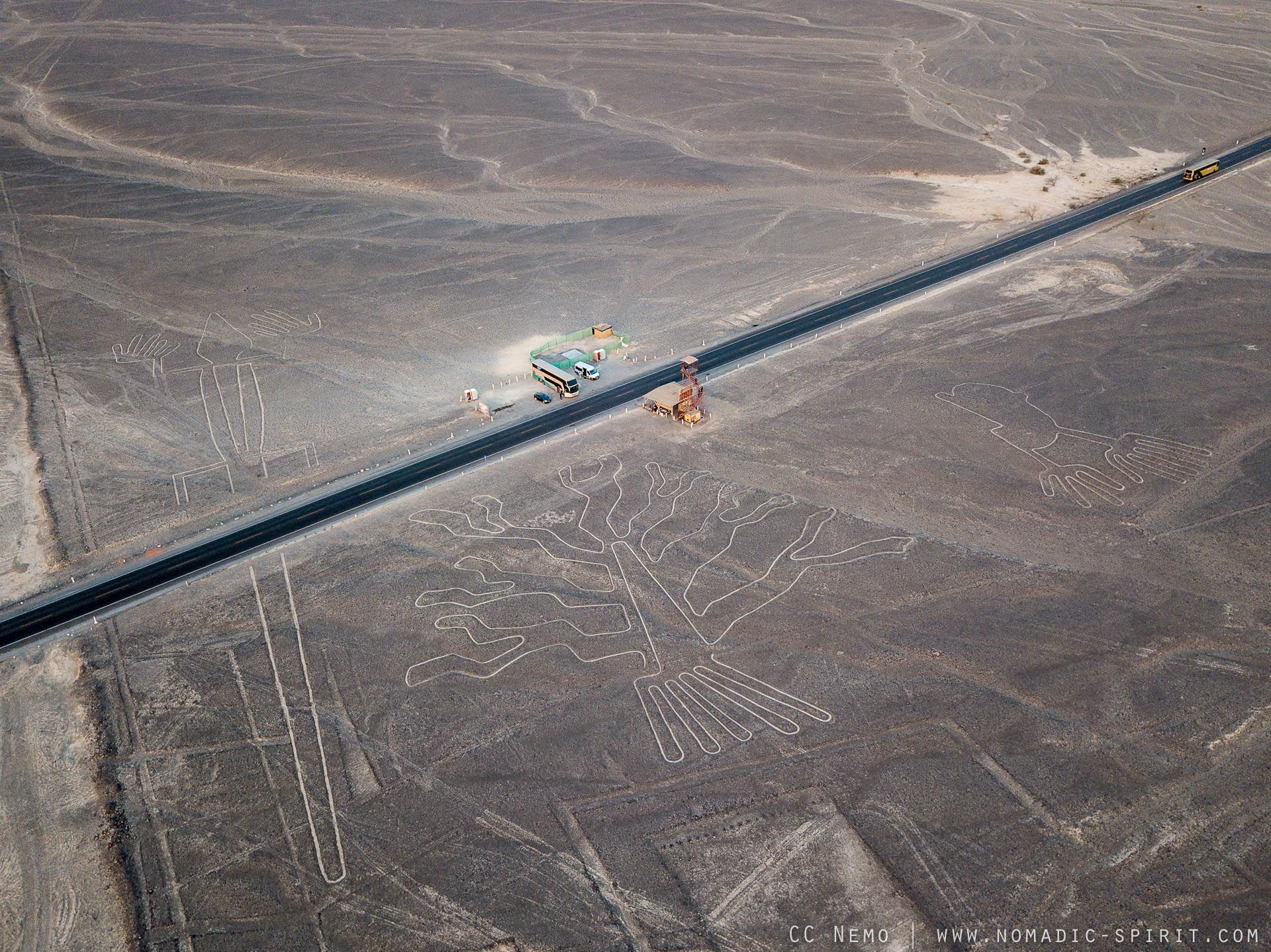
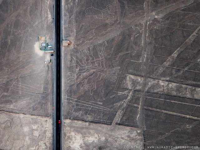
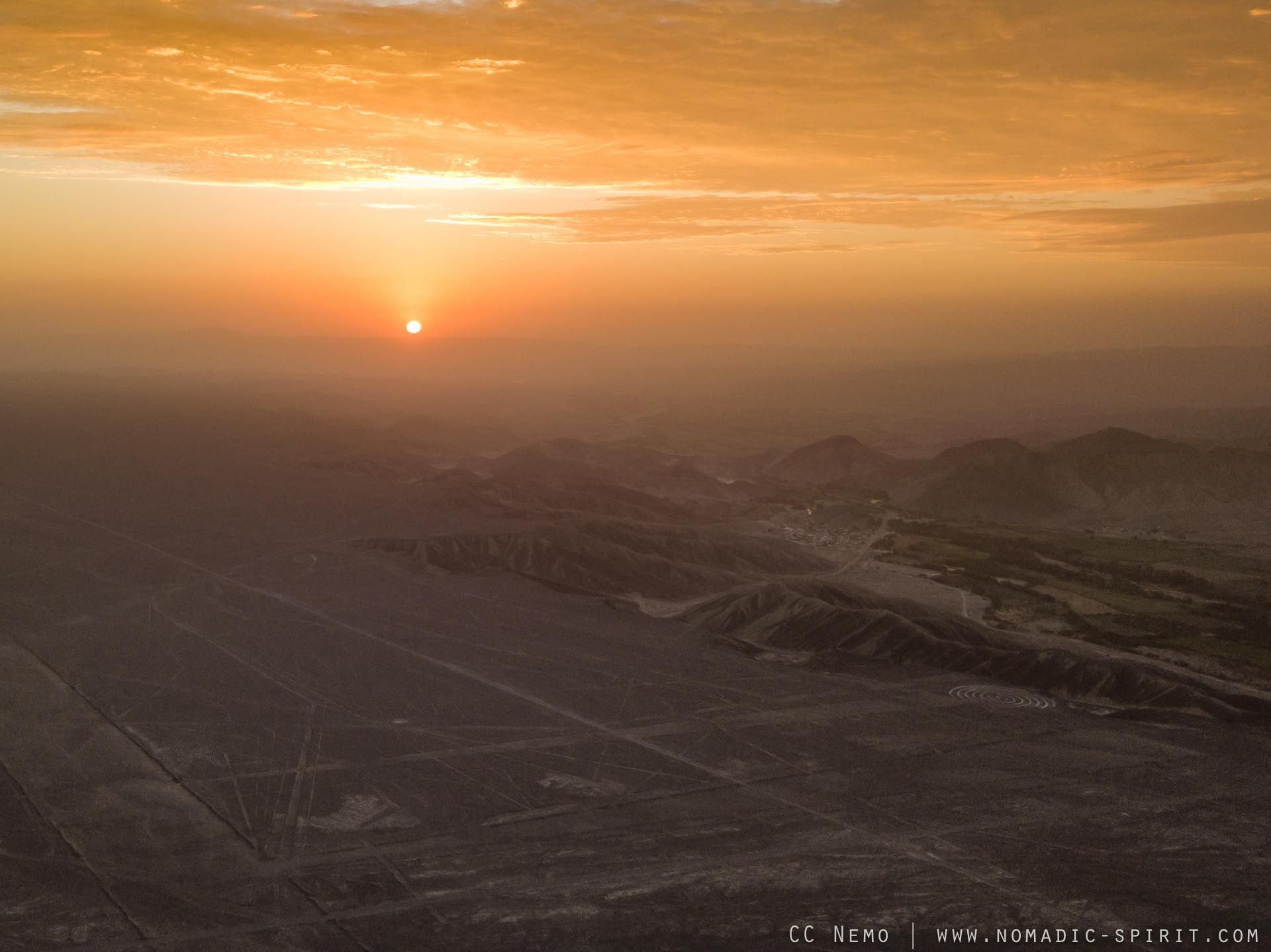
Drone shots of the Nazca lines in Peru I made last year. (more info below)
Hope you enjoy :-)
INFO FROM WIKIPEDIA:
The Nazca Lines /ˈnæzkɑː/ are a series of large ancient geoglyphs in the Nazca Desert, in southern Peru. The largest figures are up to 370 m (1,200 ft) long.[1] They were designated as a UNESCO World Heritage Site in 1994. The high, arid plateau stretches more than 80 km (50 mi) between the towns of Nazca and Palpa on the Pampas de Jumana, approximately 400 km (250 mi) south of Lima. Although some local geoglyphs resemble Paracas motifs, scholars believe the Nazca Lines were created by the Nazca culture between 500 BC and 500 AD.[2] The figures vary in complexity. Hundreds are simple lines and geometric shapes; more than 70 are zoomorphic designs of animals, such as birds, fish, llamas, jaguars, and monkeys, or human figures. Other designs include phytomorphic shapes, such as trees and flowers.
more here: https://en.wikipedia.org/wiki/Nazca_Lines