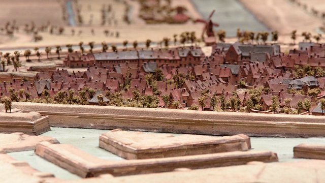
The PBA (Palas des Beaux Arts, the fine arts museum of Lille) exposes again the "plans reliefs", vintage 3D maps of north of France and Belgium cities made during the reign of Louis XIV (17th century) to help the newly won cities of Flanders. These maps have been restored last year and are newly visible at the PBA museum. You can enjoy my pictures of my visit there this afternoon on flickr at https://www.flickr.com/photos/piboulet/albums/72157707767317434.i
Authors get paid when people like you upvote their post.
If you enjoyed what you read here, create your account today and start earning FREE STEEM!
If you enjoyed what you read here, create your account today and start earning FREE STEEM!
that's beautiful! Too bad I haven't discovered this post a few days earlier
Downvoting a post can decrease pending rewards and make it less visible. Common reasons:
Submit