Introduction
An ongoing scientific study to detect ancient ports and settlements on the western and southern coasts of Aceh is on the banks of the Indian ocean. The western and southern coastal regions of Aceh are a place that is always visited by European nations, an area that is preoccupied with the spice trade of plantation products during the period of Aceh Darussalam kingdom in the middle ages.
The 4-member team is @keuudeip as the lead researcher, @vannour as a photographer, and two research assistants @safar01 and @abelpasai. The present study is a preliminary survey to detect the potential to determine the point in subsequent research.
Narratives and scientific studies are done by @keuudeip, while I only upload photos to the public, especially on Facebook Group MAPESA ( @mapesa ) "MASYARAKAT PEDULI SEJARAH ACEH (Aceh Historical Concern Society)". @mapesa as a sponsor requires the expedition team to publish all photographs, data and information and that are found in the field to the general public through social media. All photographs in the course of scientific research sponsored by @mapesa are free license for the benefit of science.
The expedition trip to the west and south coast of Aceh has ended for 9 days (13-21 August 2017), and the team has returned safely to Banda Aceh. This trip is named #EspspedisiMuhammadGhauts.
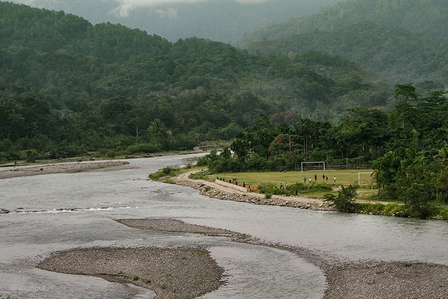
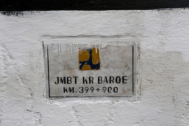
Krueng Baroe (new river)
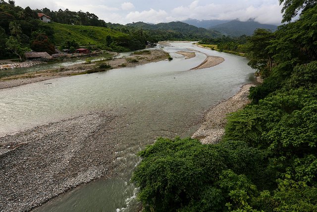
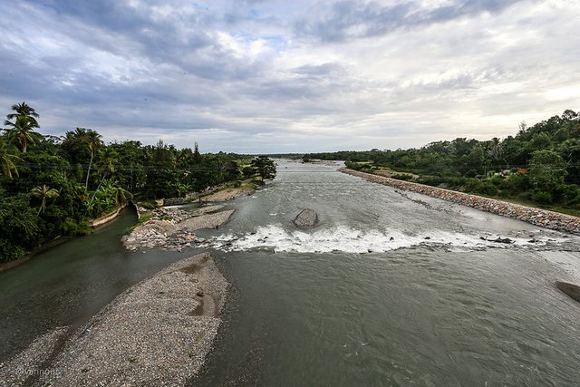
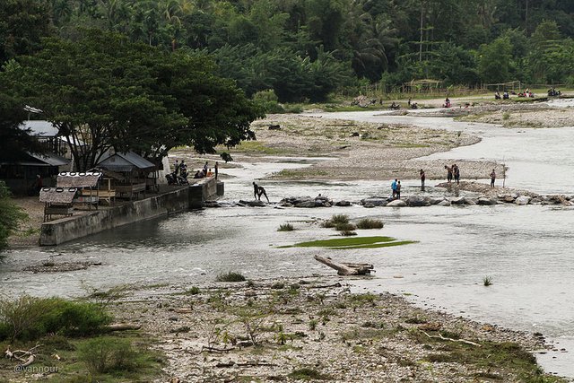
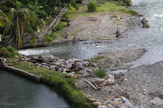
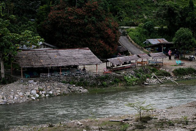
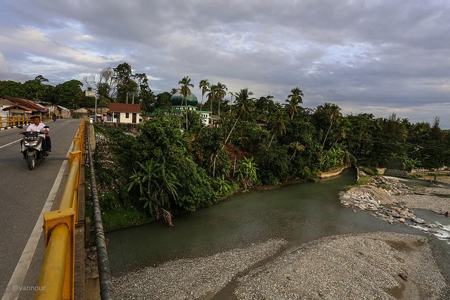
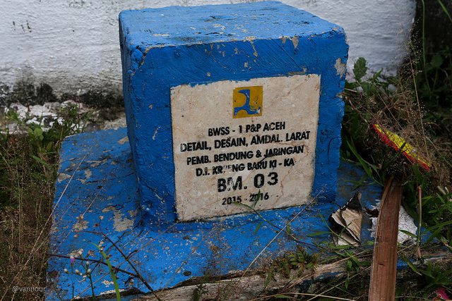
River that became the boundary line of the region, between the district of Southwestern Aceh and South Aceh, local people call it Krueng Baroe (New River). Naming it must have a reason, "If there is a new of course there is the old ". I tried to investigate it on the google map, yea .. there seen there is a river current shift.
I shot photographs on the bridge at coordinates 3°36'12.3"N 96°57'31.4"E. Earth's atmosphere during early dusk, we did not have enough time to observe it to the estuary. River flow distance from the bridge to the estuary, 3.80 km (2.36 mi).


Please see my old post about a trip for scientific research sponsored by @mapesa.
- Welcome to Rest Area Rigaih
- Seunagan River Estuary
- Kuala Batu or Quallah Battoo (History, Life and Nature)
- SteemitPhotoChallenge #50 Long Exposure - Entry2: Meukek Bay
- Track The Traces Of Aceh Civilization
- The Monkeys Ask For Alms
- Ancient Fortress of Trumon
- Whale Bay
- Ancient Cemetery Complex in Trumon
- The Ancient Flag in Trumon
- Ujong Manggeng Estuary
- Rasian Seaport
Very interesting! Great pictures to go with it!
Downvoting a post can decrease pending rewards and make it less visible. Common reasons:
Submit
thanks
Downvoting a post can decrease pending rewards and make it less visible. Common reasons:
Submit
Great post and beautiful shots :) Thanks for sharing #keepsteemin
Downvoting a post can decrease pending rewards and make it less visible. Common reasons:
Submit
@warrkin thanks
Downvoting a post can decrease pending rewards and make it less visible. Common reasons:
Submit
Whatever the object will remain beautiful if immortalized by professional hands. ☺
Downvoting a post can decrease pending rewards and make it less visible. Common reasons:
Submit
@musyawirwaspada thanks
Downvoting a post can decrease pending rewards and make it less visible. Common reasons:
Submit
A very interesting post @vannour
Downvoting a post can decrease pending rewards and make it less visible. Common reasons:
Submit
Mantap bg, salam kenal bg dari banda :D
Downvoting a post can decrease pending rewards and make it less visible. Common reasons:
Submit
Highly qualified photos, every move in your research the result is very satisfying, let alone always exist in the aceh nature.
Downvoting a post can decrease pending rewards and make it less visible. Common reasons:
Submit
Nice pict brother @vannour, good luck.
Downvoting a post can decrease pending rewards and make it less visible. Common reasons:
Submit
wow
amazing..... amazing
Downvoting a post can decrease pending rewards and make it less visible. Common reasons:
Submit