All the way to the west
Every time I travel, I think it’s a trip to go, this time my destination is the most beautiful and vast place in the motherland: Xinjiang.
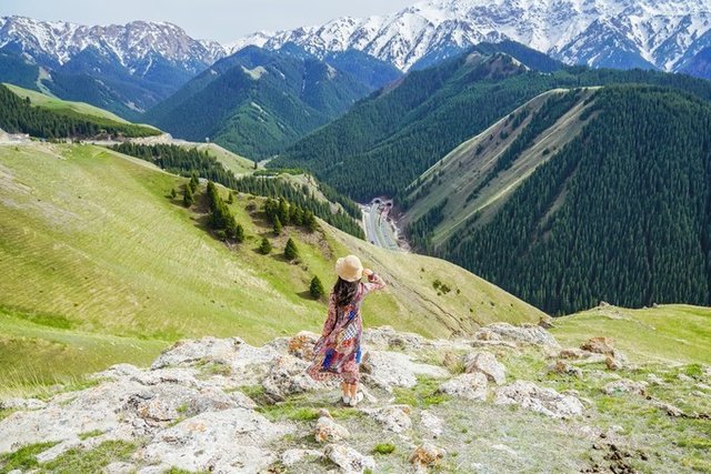
▲There is a virgin forest in the sky.
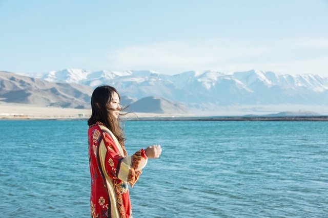
▲ There are clarified plateau lakes here.
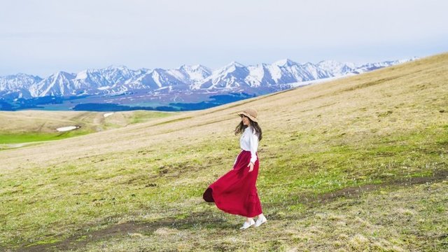
▲There are magnificent snow-capped peaks.
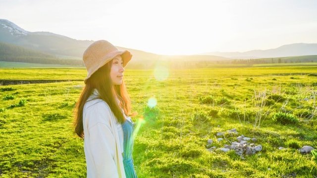
▲There is a vast prairie here.
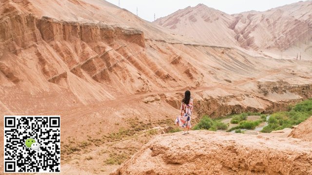
▲There is a desolate Gobi Desert.
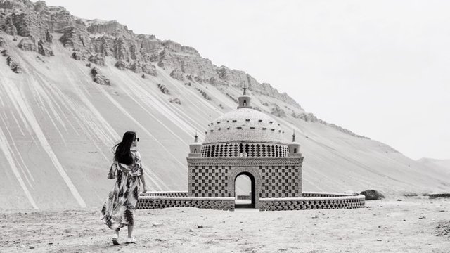
▲There are ancient cultural sites here.
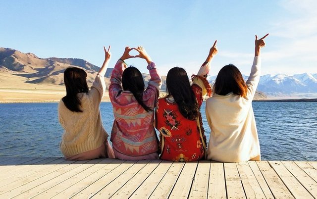
▲I am very fortunate that every trip will have like-minded friends along the way,
This trip has more unforgettable memories.
Xinjiang Here is everything within your imagination, and everything beyond your imagination!
I only want to wear Vietnam's northern Xinjiang to be a Western Dream that I don't want to wake up.
Blue and White Sailimu Lake
After arriving in Urumqi, it is already 10 o'clock in the evening. After we stayed at the hotel, we began to look forward to tomorrow's itinerary.
Our first stop is to go to Sailimu Lake and pass through the Dushanzi Grand Canyon.
Xinjiang is divided into southern Xinjiang and northern Xinjiang. The most popular routes are the North Line, the West Line and the East Line, which are collectively referred to as Northern Xinjiang.
The main attractions are concentrated in the northern Xinjiang, which is also the route most visited by tourists.
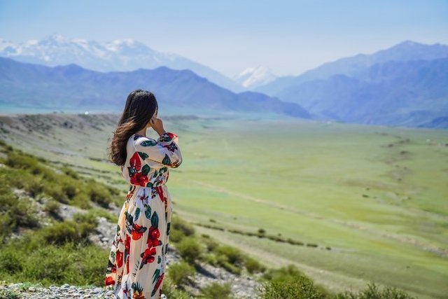
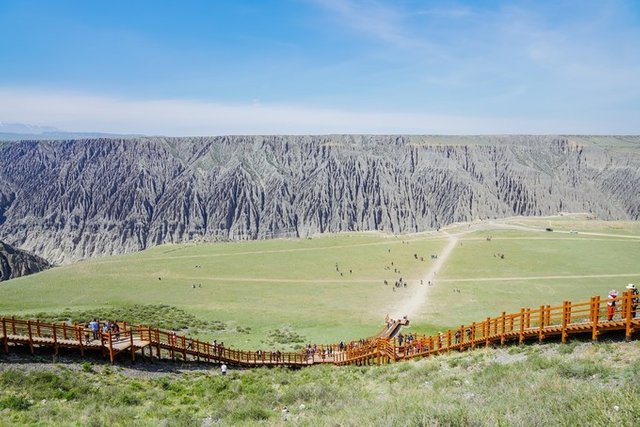
Standing in front of the Dushanzi Canyon, it has been shocked by this spectacular landscape.
Dushanzi The Grand Canyon is located 28 kilometers south of Dushanzi City. It is formed by years of snow and rain.
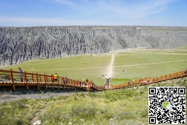
The gorge is approaching north and south, and the Kuitun River flows through the Dushanzi Grand Canyon. The cliffs are steep and the water flows at the bottom of the valley. The snow and the rainwater flow down through the alluvial gullies formed by the soil here. Nature's ingenuity has been crafted. This stunning and peculiar landscape.
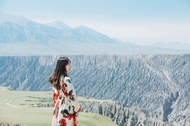
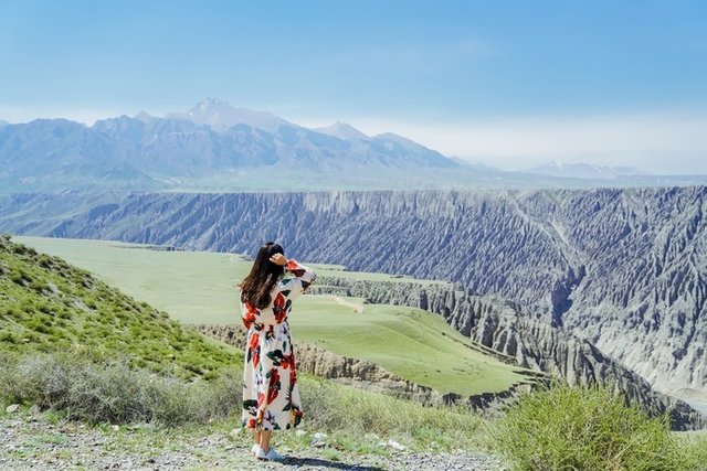
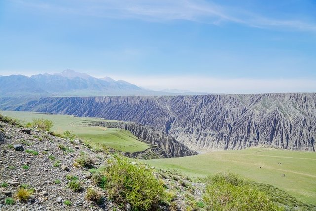
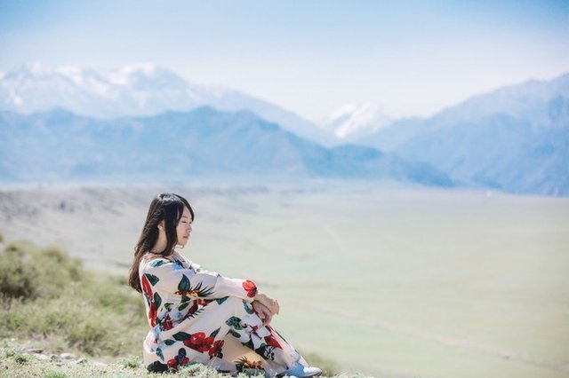
Standing on the boardwalk is also the best place to overlook this Grand Canyon. The Dushanzi Grand Canyon in April may not be the most beautiful time in it, but it is enough to shock my heart. After the small break, we continued on the train to today's Sailimu Lake.
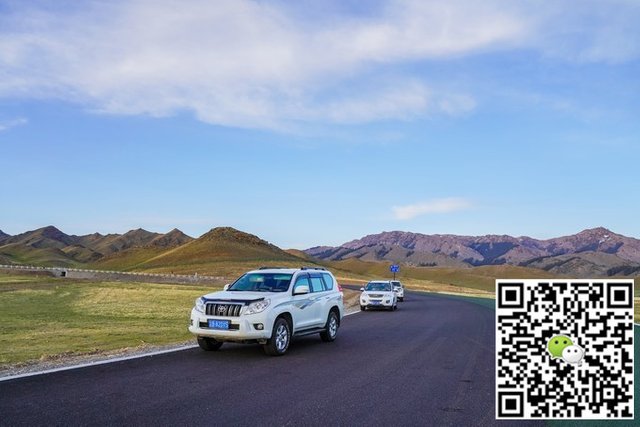
All the way to the west, after a few hours of driving, we finally arrived at today's destination, Lake Selim, in the afternoon. The Lake Selim is known as the “First Pool of the Tianshan Mountains”. There is one of the “Four Great Beauty” in the lake. If you want to choose the most beautiful time of Sailimu Lake in a day, then the Saimu in the evening The lake must be my first choice.
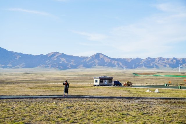
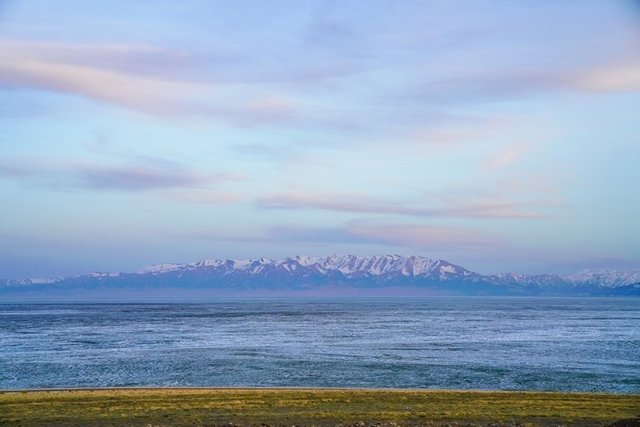
In the Saimu Lake in May, the snow on the iceberg has not yet gone. The lake has been revived from the icy state. The snowy mountains and clouds are reflected on the sparkling lake. It is really a pair of eyes. Picture.
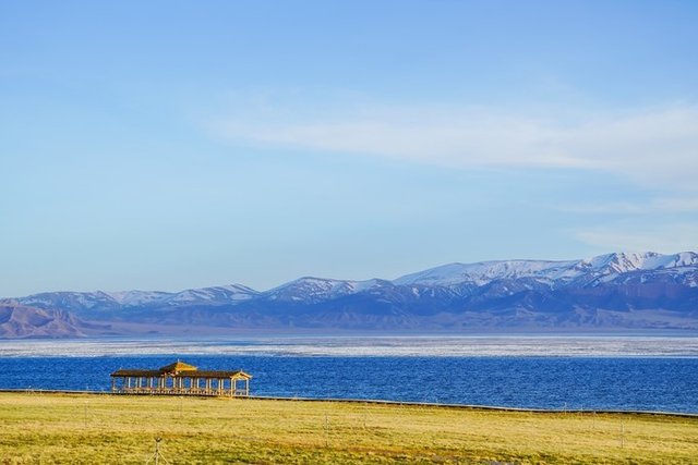
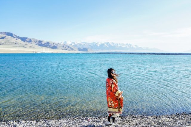
There is a legend in Lake Selim. A long time ago, it was a beautiful grassland with blooming flowers. On the grassland, a girl named Ceddan and a Mongolian young man named Xuedike love each other deeply, but the ferocious devil greedily cherishes the beauty of the girl, and captures the cedulism into the magic palace. Waiting for the opportunity to escape from the Magic Palace, under the chasing of the devils, Cedan was forced to jump into a deep pool. When Xue Deke rushed to save his lover, he found that Cedan had died. He was also sorrowful and sorrowful in the sorrow. In a moment, the pool was filled with water, so the lovers Sincere love and grief tears have turned into Sailimu Lake.
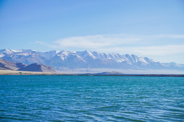
Sailimu Lake is backed by snow-capped mountains. The lake is a vast grassland. The lake is clear and blue. Every year in June and July, the lakeside grassland is full of wildflowers, which should be under the blue lake under the snow-capped mountains. It is a grand scene that cannot be missed.
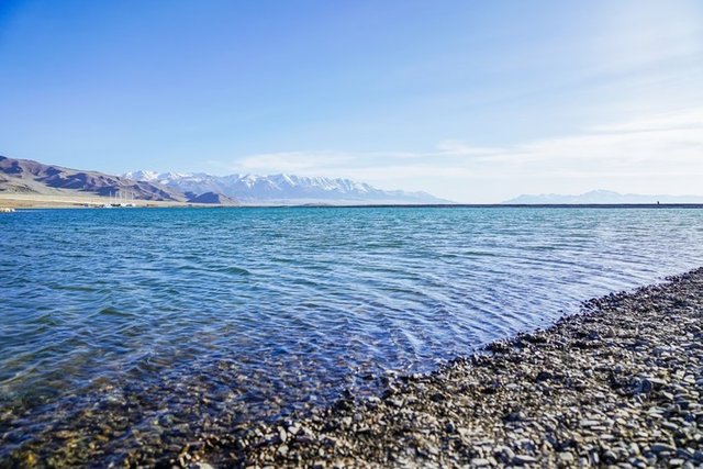
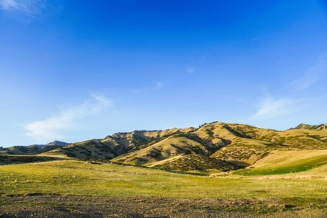
We came a little early this May, the snow has not yet melted, the green grass on the lake has not yet grown, and the best shooting angle to the Saimu Lake is in the Hudong area. The snow-capped mountains that are not in the whole year can just take pictures of the lake below the snow-capped mountains.
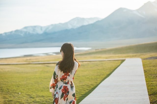
The time difference in Xinjiang is actually two hours later than Beijing time. It will be the sunset at 8 o'clock, so it is the best time to reach Saimu Lake in the afternoon.
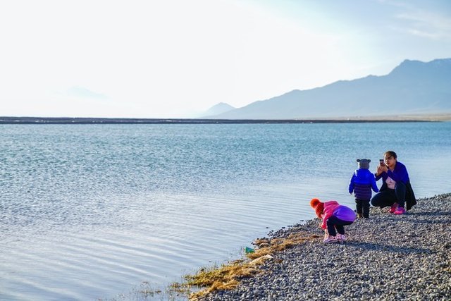

Walking on the shores of Sailimu Lake, because it is not the most popular tourist season, there are very few tourists. Even the tourists in twos and threes are local residents coming for a walk. The children are smashing stones at the lake. Maybe there will be surprises under the stones. A small shell.
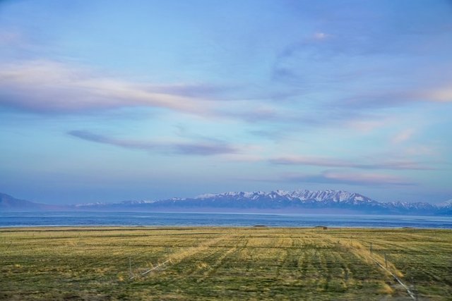
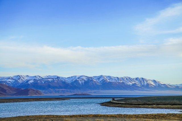
The scenic area of Sailimu Lake has no shuttle bus, so private cars can be driven in. The car tour is the best way to play in Sailimu Lake. Driving all the way to chase the sunset, this is the first impression of our first encounter in the wood lake.

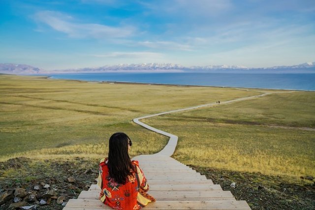
Nothing to come in Xinjiang I knew that Xinjiang has a wide area and spends a lot of time on the car, but when you come here to see the beautiful scenery along the way, you can feel that the time you paid is worthwhile.
The lively Khorgos port
The place to go today is the Khorgos port, which is an important station on the northern road of Gusi Road in the Sui and Tang Dynasties.
If you want to go to the border port and need to bring your passport, you can directly pull it, no need to pay another 15 yuan for a visa.
Before going to Horgos, we have to pass a very famous bridge, the Fruit Gully Bridge.
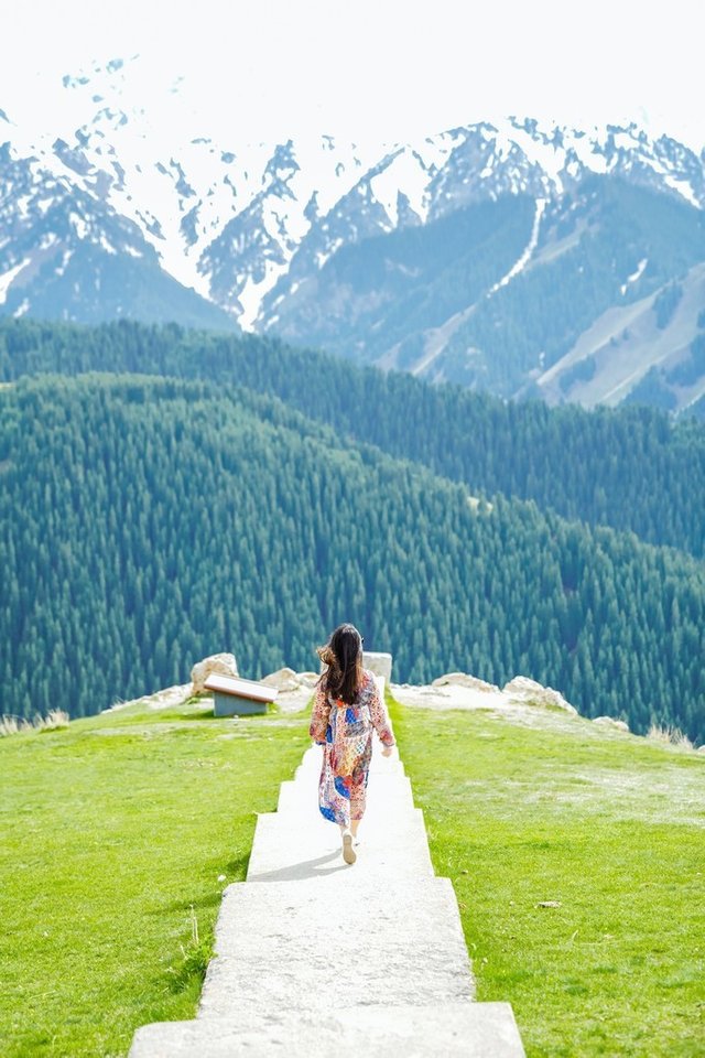
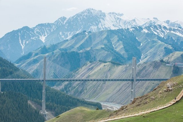
Fruit ditch is the natural gateway of the Yili area. It is a famous canyon hole in the north of Sailimu Lake and the Yili Valley in the south. The fruit ditch is 28 kilometers long. The terrain is dangerous. When the Genghis Khan is in the west, the mountain channel is built. 48 bridges, the road is steep.
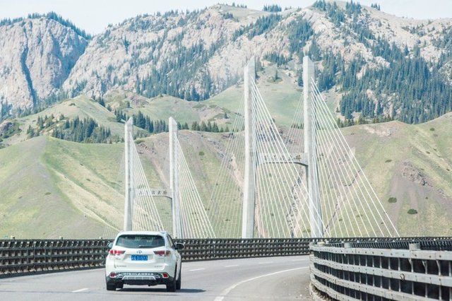
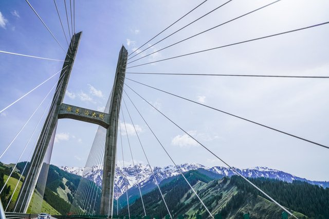
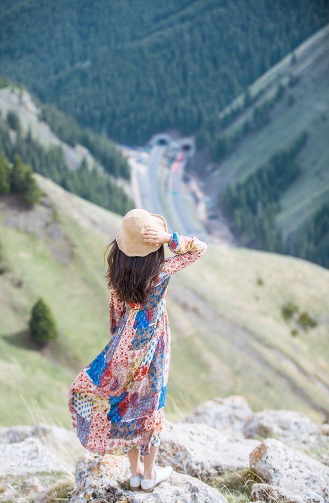
We drive along the Wuyi Highway and pass through the fruit ditch. If we go from east to west, we will pass through the famous Sailimu Lake and then reach the fruit ditch through a few kilometers of mountain tunnel. The bridge has strength and grace, and the spectacular S bends around the valley. At this time, open the window and feel the scenery.
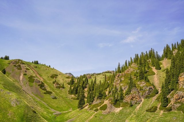
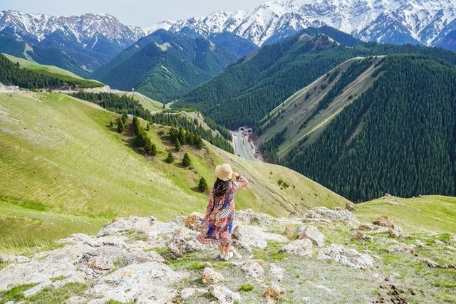
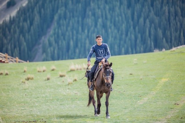
Go to Yili, where there are many pine trees and all kinds of wildflowers and fruit trees. In the summer, cattle and sheep patrol the mountains, and the herdsmen and Mongolian bags can be seen everywhere. There are also some beekeepers scattered in the mountains. The pure wildflower honey is produced here!
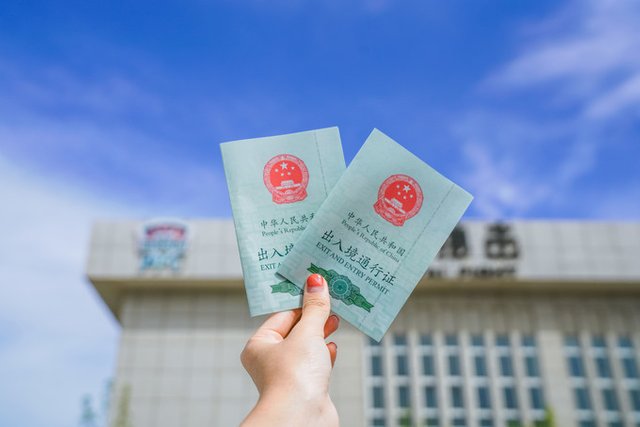
At the Khorgos port, I forgot to bring my passport. So I have to queue up with my friends for more than half an hour to get a good entry and exit pass. The pass is only 15 yuan, and I can also pay by WeChat, which is quite convenient.
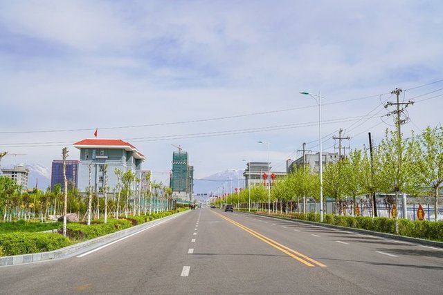

The other port of the Horgos port is Kazakhstan's Khorgos port, which is a first-class trading port opened by China and Kazakhstan. You can pass the port to the duty-free zone with a pass.
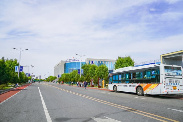
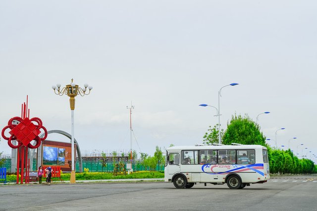
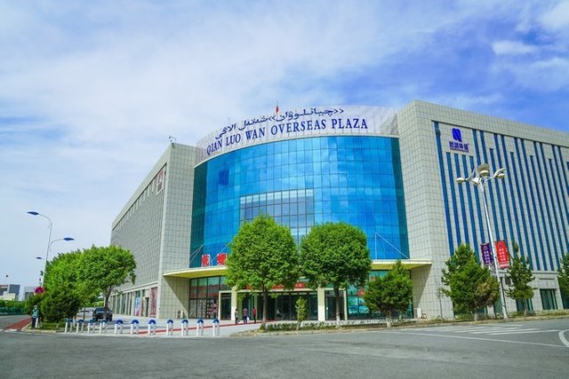
TIPS: The cigarettes in the duty-free zone are very cheap, and the pass-through friends have bought a lot of them, and no one can exceed two cigarettes. In the port, you can take the bus to the shopping center, and the bus costs 2 yuan.
Visit Yining Uygur Folk Village
When you come to Yining, the folk village of Kazan is a must see. Karazhan was originally a Uighur settlement with cast pots. Nowadays, the faces of Uighurs are coming here.
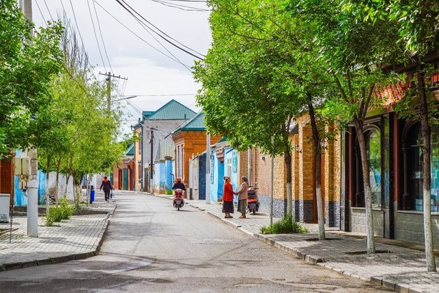
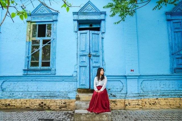
The buildings in the folk villages are mostly blue, sky blue and pure. The gorgeous architectural color will give people a visual impact, while the blue of Kazan is a blue that makes people feel quiet.
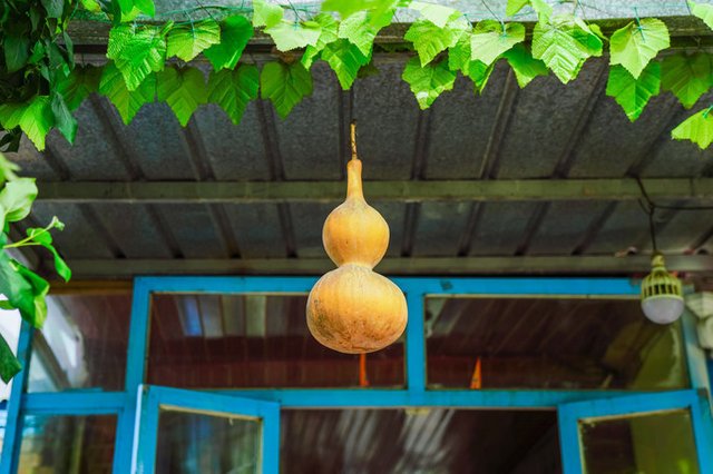
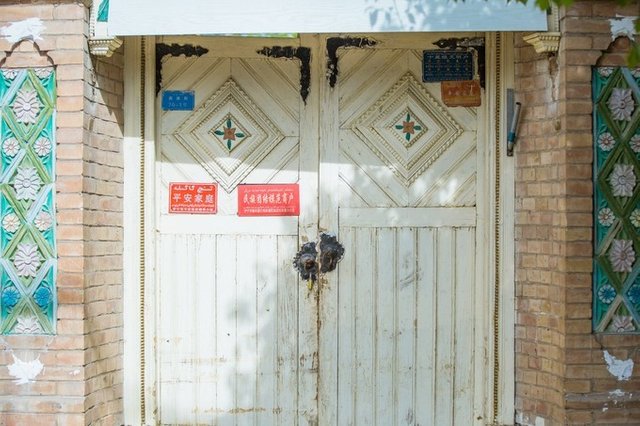
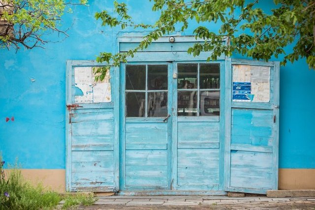
Wooden doors of various colors are always able to attract my shots.
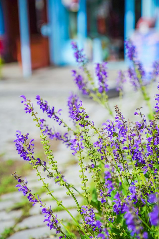
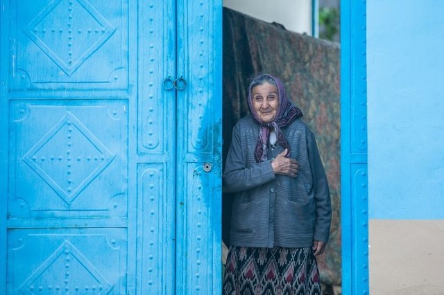
If you want to learn about the lifestyles of today's Uighurs, it is indeed a rewarding travel experience to come here. Early morning or evening is the best time to visit. At this time, there are few tourists, so you can enjoy your own swim in this lane. A kind old grandmother came out of the doorway and looked at our camera and smiled at us.
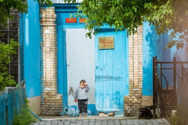
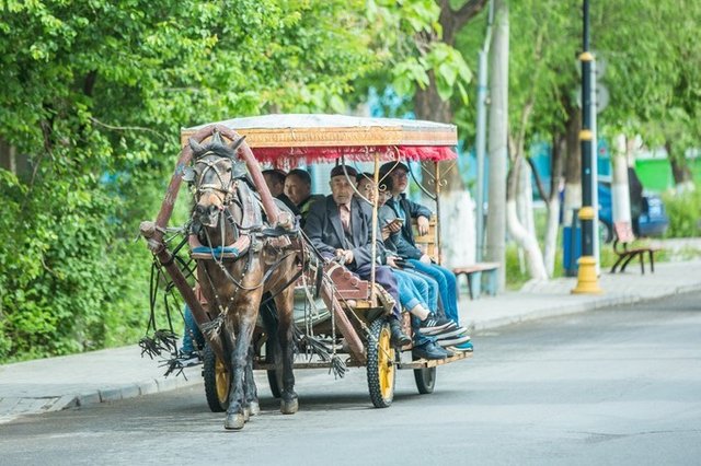
Karzan has a lot of manned carriages. The carriages are long and can carry 6-8 people. The carriage is also a means of transportation for the locals, and the exotic scene always surprises you here.

The bigger than my face, it’s really too real. We didn’t finish eating all the way.

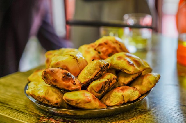
Taste the local specialties, dumplings and mutton omelet.
Kara Jun Prairie in the Sunset
The Kala Jun prairie is located in the Tex County of the Yili Valley in Xinjiang. It is the transitional zone from the Western Tianshan to the Yili River Valley. The Kala Jun is Kazakh. The meaning of Kala is dark, rich and vast. Described as a dense look, as the name suggests, the Kala Jun prairie is the meaning of the vast grassland.
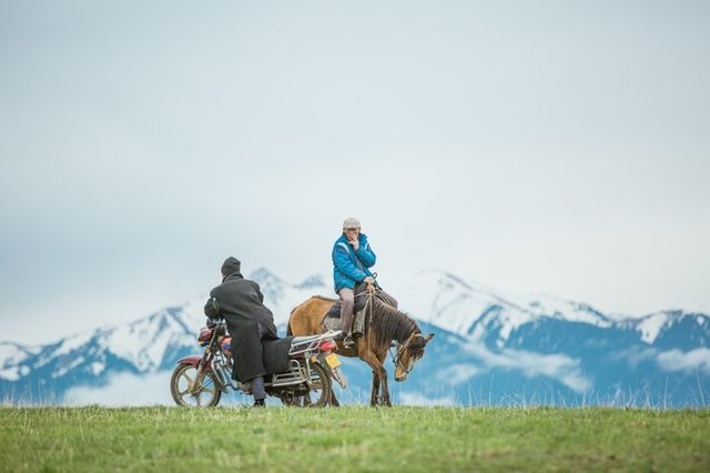
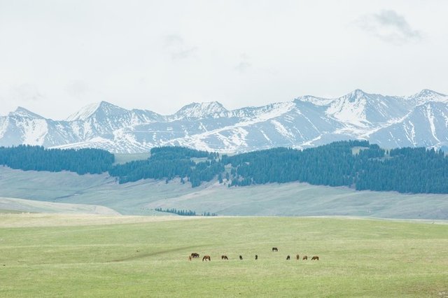
The snow-capped mountains that are not surrounded by the whole year are surrounded by an aerial meadow of more than 2,000 meters above sea level. From the winter directly to the Kalahun prairie in the summer, the most beautiful season of the green grass and the wild sheep and cattle is ushered in.
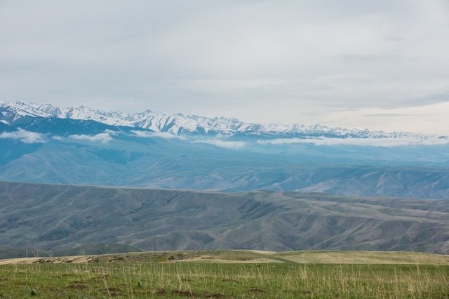
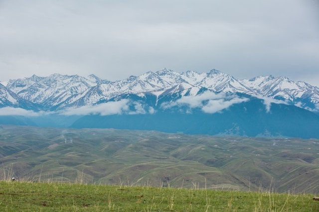
Looking into the distance, in the distance is the snow-capped mountains, near the green grass, the air is filled with fresh flowers and plants, and the places where the eyes are located are beautiful.
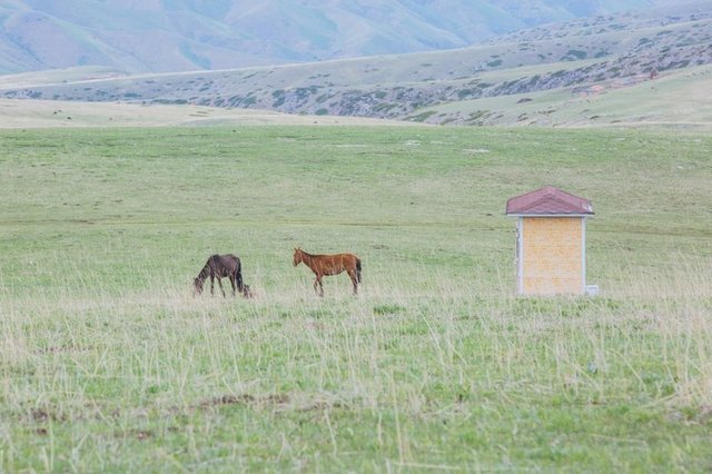
In the endless natural prairie, smelling the clear smell of various pastures and wildflowers, and seeing the lambs, burdocks, and horses screaming and screaming, they realized the true wind and grass and low cattle and sheep.
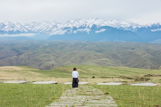
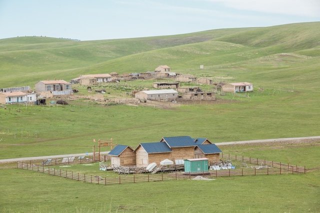
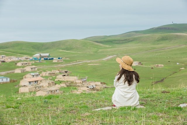
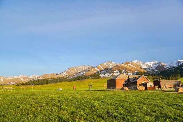
It's very big here. Every angle looks different. In another direction, it seems to go into a small town in Europe. It is close to different cottages, which makes it full of exotic feelings.
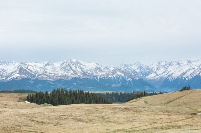
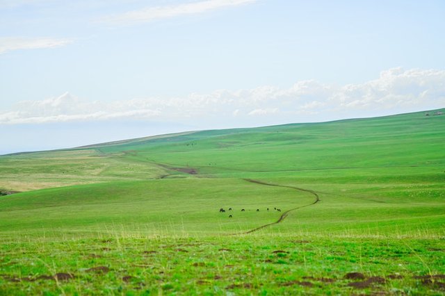
The endless natural prairie, like a wonderful green carpet, has been laid down to the foot of the snow-capped mountains, which is really refreshing.
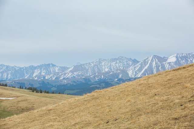
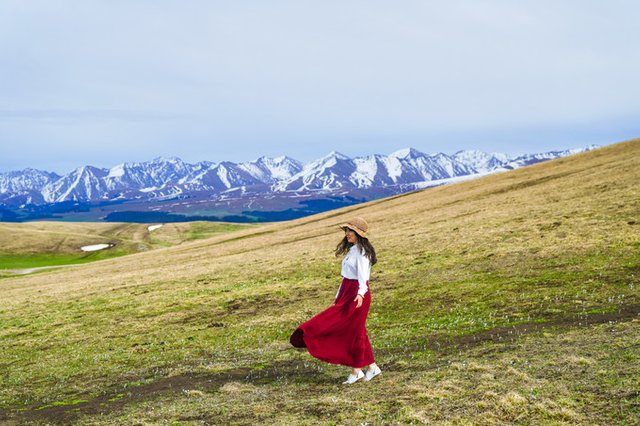
Standing here to take pictures is definitely a kind of visual enjoyment. On this vast prairie, I really feel the magic of nature.
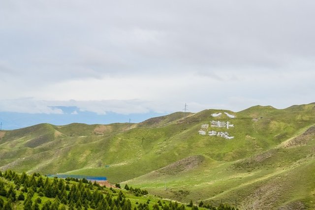
From the Karachi scenic spot to the returning road of the hotel where I stayed today, I saw the words of the Eight Diagrams City and quickly pressed my shutter. The legendary city of "Changchun Real Man" Qiu Chuji is a strange city. city.
Amazing whole Nalati grassland
Today’s itinerary is Bayinbulak. Originally, I was going to take a look at the paradise surrounded by snow-capped mountains. There are Kaidu River with “Nine Curves and Eighteen Bends” and elegant and charming Swan Lake. When I arrived at the door, I was told to seal the road, so we had to move to the Nalati grassland.
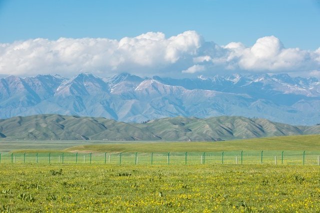
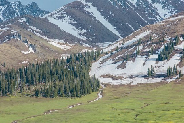
Nalati Prairie is one of the four largest river valleys in the world, with the terrain tilting from the southeast to the northwest. The wilderness is covered with mountains and springs, streams are like nets, rivers are staggered, forests are flourishing, and people are known as aerial grasslands.
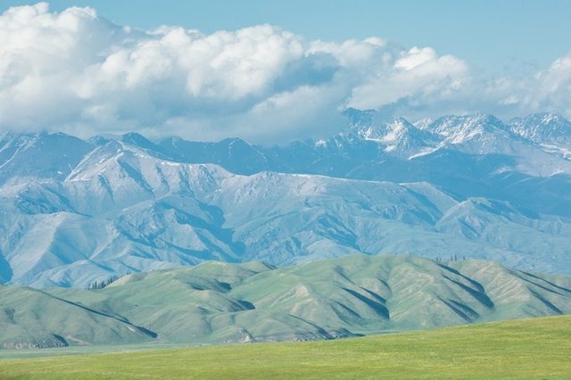
At this time of Nalati, the snow-capped mountains began to melt, and the wildflowers in the film began to vie with each other, and the whole grassland was decorated with beautiful and colorful.
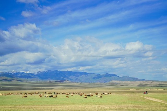
Under the blue sky, white clouds, and snow-capped mountains, the herd moved in the clouds, and a beautiful picture came into view.
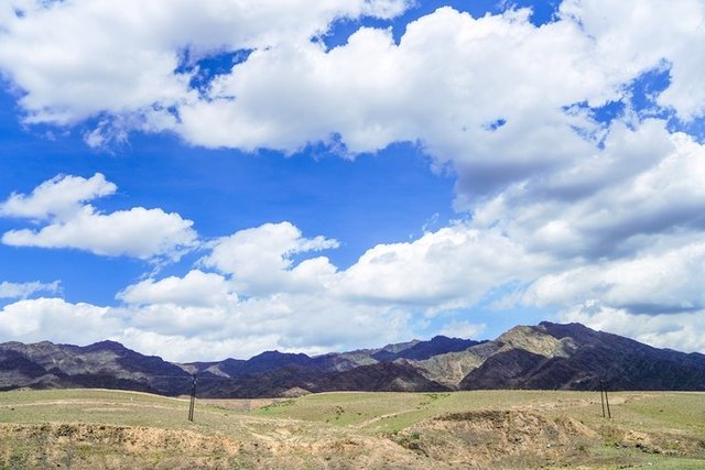
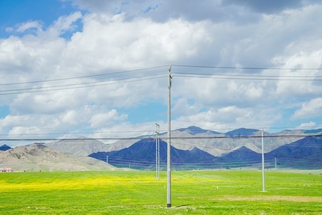
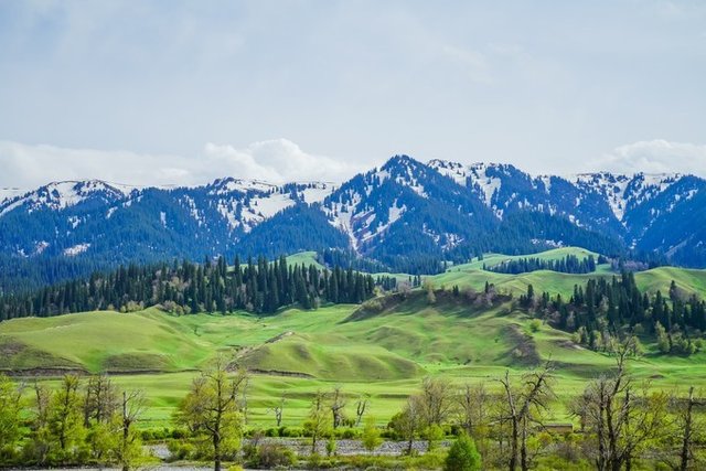
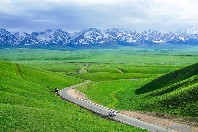
After we entered the scenic spot, we took the sightseeing bus and followed this road to the depths of the grassland.
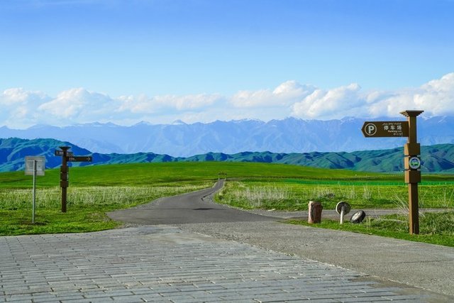
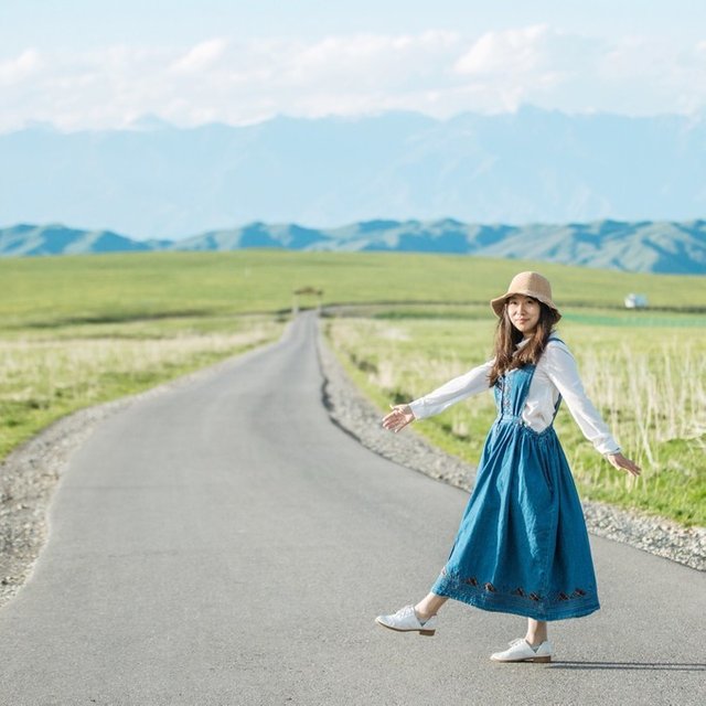
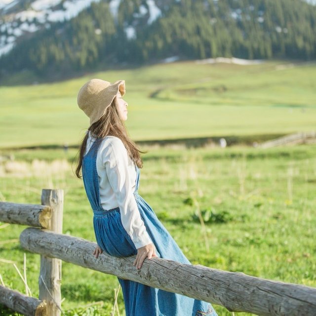
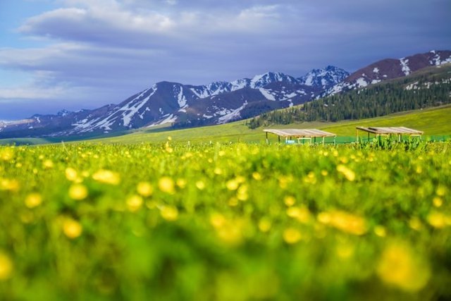
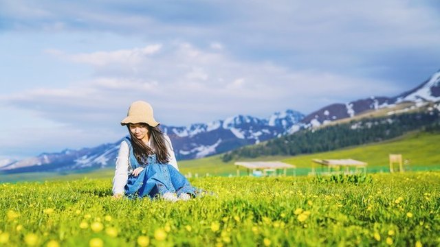

The more you go to the sparsely populated areas, the more beautiful the scenery is, and the wildflowers everywhere are extremely beautiful. The snowy mountains in the distance, the flowers and plants in the vicinity, appear in the same picture but it is so beautiful, the frame of winter and summer, like the ultimate!
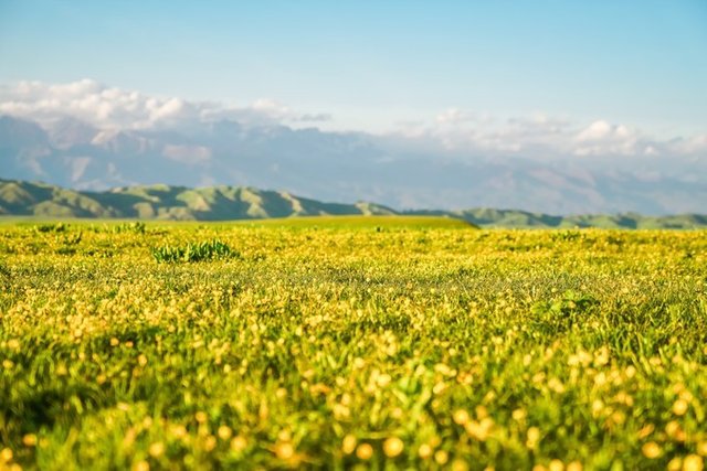
On the hills, wildflowers are full of hillsides, adding a new vitality to the grasslands. When the breeze blows through the grasslands, the white clouds, like the blue sky of children's paintings, set off the tenderness of the snow-capped mountains, and can't help but indulge in its arms.
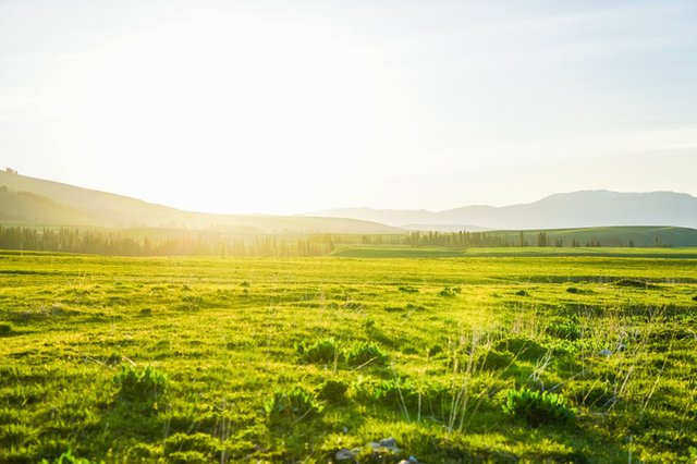
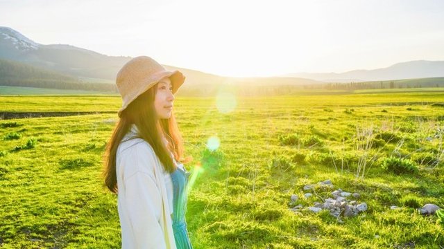
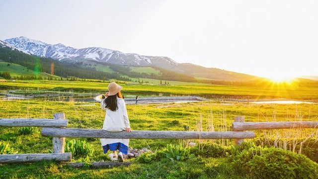
Finally, when you meet the grassland sunset, you will be happy, it is really the air grassland, the unplanned Nalati grassland, stunning the audience!
The last Rob people village
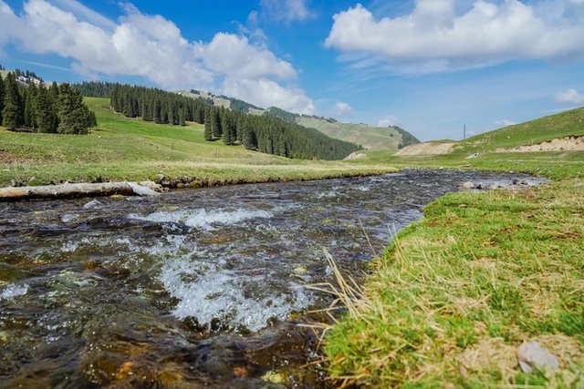
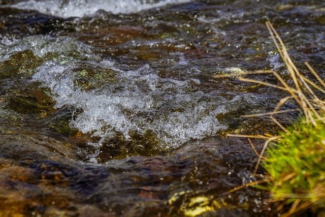
From northern Xinjiang to southern Xinjiang, this road is still picturesque.
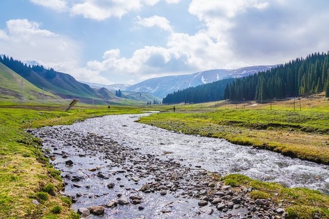
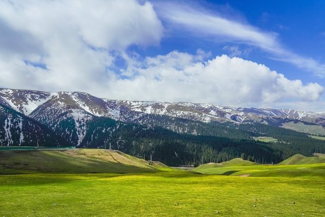
A meadow full of flowers on the uphill side of the road.
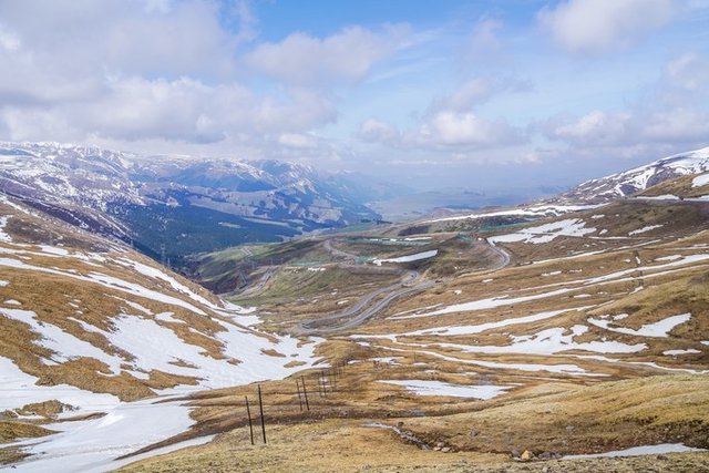
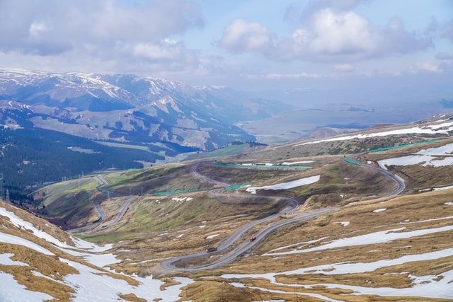
The only road is still closed, although it is not possible to go deep, but the distance is another scene. The mountain passing by halfway from the altitude of 150 to 3000, in the process of rising altitude will inevitably appear slight tinnitus.
The snow on the top of the mountain has not yet melted, and the sea on the mountain has become a glacier. It is really a different landscape that can be harvested everywhere.
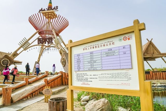
After arriving in Yuli County, it is already six or seven in the afternoon. Far away, I saw a few large characters on the towering wooden tower, which is the entrance of the Luobu village.
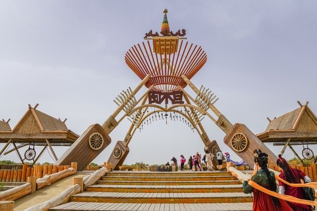
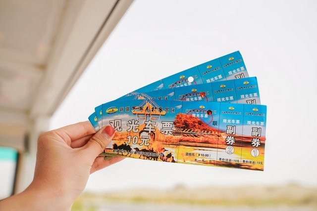
This is a small village called "Desert Taoyuan", located 35 kilometers southwest of Yuli County, Xinjiang, 85 kilometers south of Korla City. Although there are only 20 households in the village, it is the largest in Luobu. One of the villages.
The Rob is one of the oldest ethnic groups in Xinjiang and is also known as the "last Rob" in the desert.
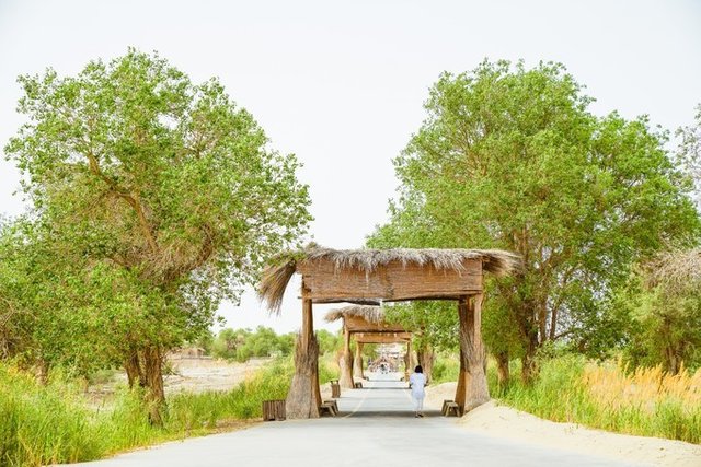
This village is small, but it covers the Taklimakan Desert, the lake, the Tarim River, the original Populus euphratica and the grasslands. They hunt and hunt fish in the desert, keeping their original customs and customs, and their lives are full of mystery.
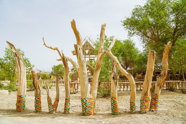
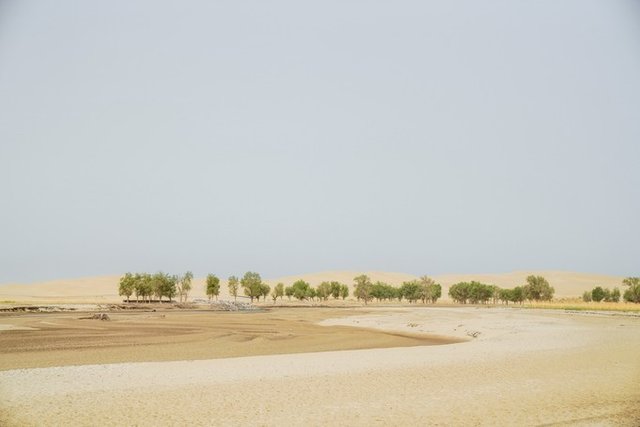
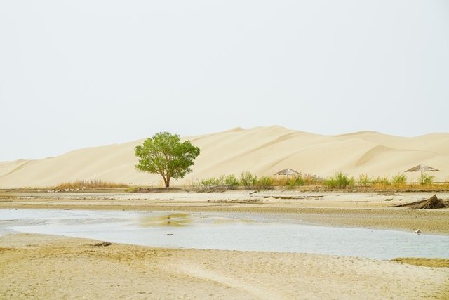
This river is the Tarim River. The interdependence of the Tarim River and the desert creates a different view here. It has both the roughness of the northwest and the grace of the south of the Yangtze River. Desert, lake, Populus euphratica and other elements form a space-time tunnel, which makes people feel that time has passed for a thousand years.
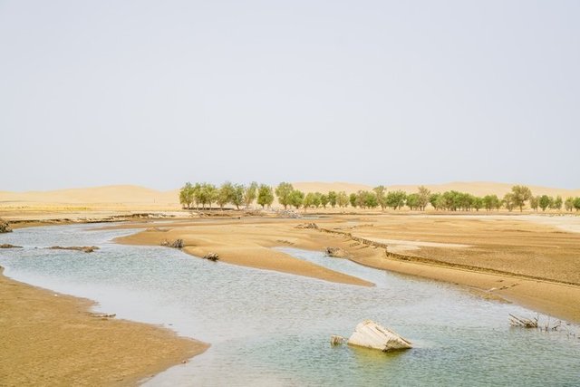
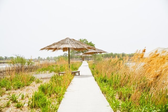
It is said that the autumn here is a mysterious and extravagant paradise than Ejina, and I look forward to meeting the amazing scenery next time.
Magic Kanez Well

This station is the Kaner Well Paradise in Turpan. Speaking of Turpan, due to its unique climate, it is rich in grapes, watermelons and other fruits. It is a famous "grape city". I thought I could come to a grape feast, but unfortunately, now the grapes are blooming, the dream of wanting to eat grapes is shattered, a sadness~
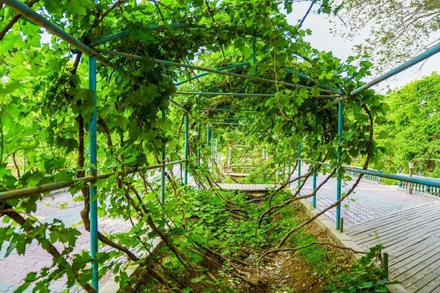
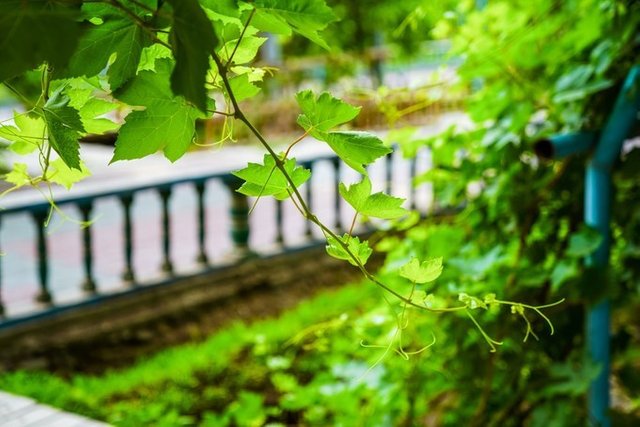
Looking at this layer of vines, I think that the ripening period of this grape must be spectacular.
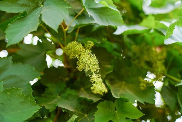
I didn’t expect the grapes to bloom really nice.
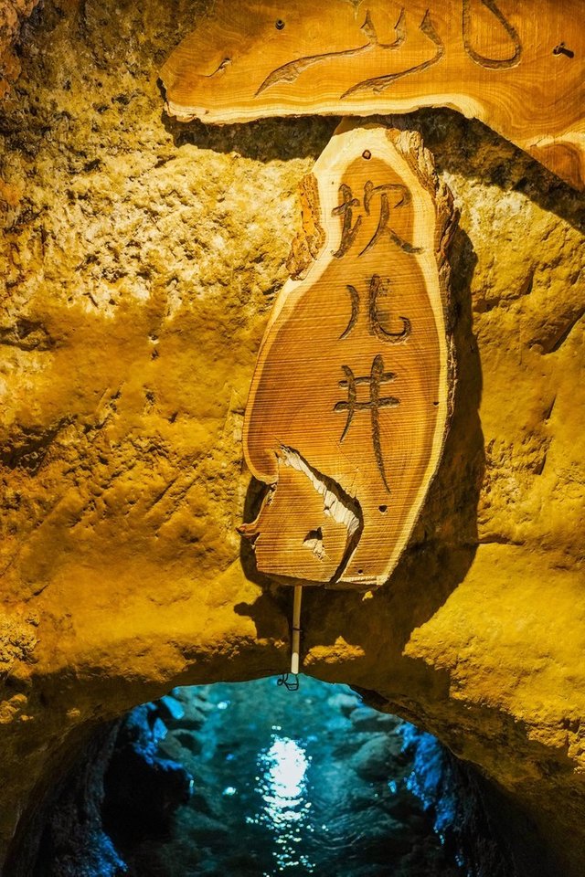
Kan'er Well is one of the three ancient humanities projects comparable to the Great Wall and the Grand Canal. It is the mother river of Turpan and the source of life in Fire Island. Kaner Well, Uighur language called Kaner, originally intended for underground waterways. It is the crystallization of the labor wisdom of the ancient Turpan people.
Because the Kaner well water is the Tianshan snow, the snow water dissolves and penetrates into the ground. The non-polluting natural water is rich in minerals. The regular drink can make people beautiful and longevity. The Kaner well is excavated underground, not easy to evaporate, and the water flows continuously throughout the year. The water quality of Kaner Well is crystal clear, sweet and refreshing.
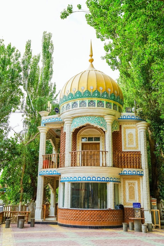
From the Kanerjing Paradise, you will find a distinctive building with a special flavor!
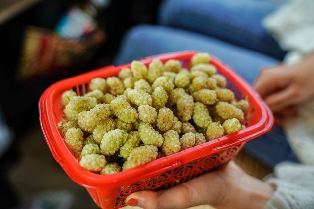
On the way, we saw the vendors selling mulberry along the road. I have only eaten black mulberry. I saw that the white mulberry is really ignorant. The white mulberry is really super sweet and delicious! 10 yuan is such a big basket~
Flame Mountain passing by in a hurry
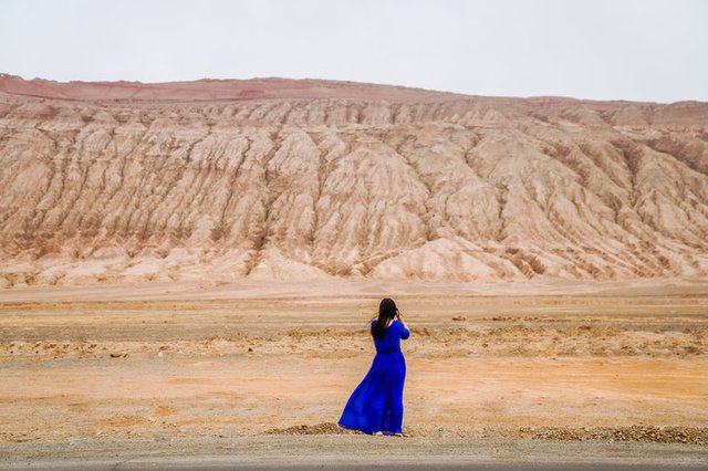
The legend of the Flame Mountain is mentioned. Everyone is familiar with it. The plot of the Flame Mountain in the Journey to the West is still vivid. In real life, the Flame Mountain is located in Turpan, Xinjiang, China.
The legendary flame mountain is the foot of Sun Dasheng. The little flames in the gossip of Laojun are falling into the flame mountain. The myth describes this place: "eight hundred miles of flames, four grasses are not born. No spring without autumn The four seasons are hot."
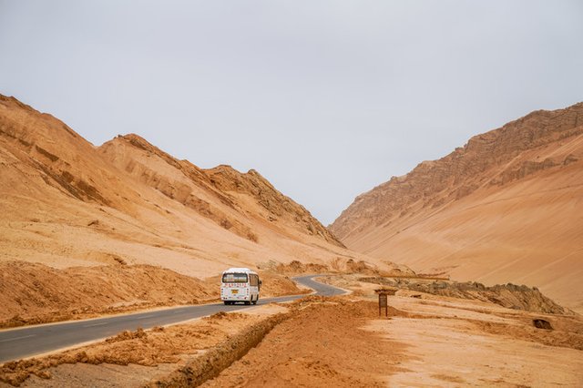
The legend is of course only a legend. In fact, the magical climate of the Flame Mountain is closely related to the unique geographical conditions here.
Even in April, we have already felt the heat of this land.
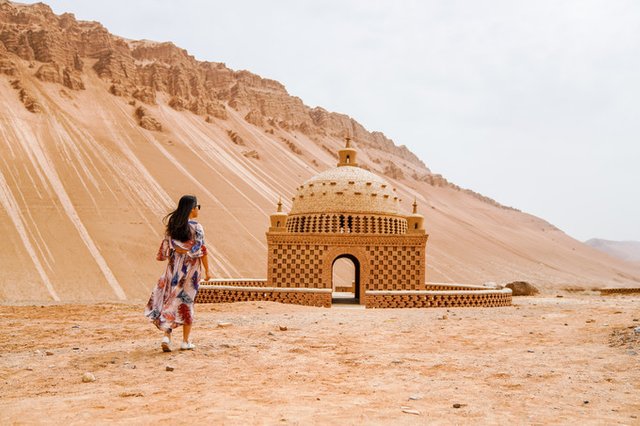
Standing under the desolate and hot flames of the mountain, looking at the red and red, the grass is not born, the scenery of the yellow sand is very spectacular. I have to admire nature's ingenuity and skill.
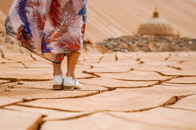
Flame Mountain is the hottest place in China. The highest temperature in summer is 47.8 degrees Celsius, and the highest surface temperature is above 70 degrees Celsius. So there is a more interesting little game here, that is, sand nest roast eggs, if interested If you come here, you can try it.
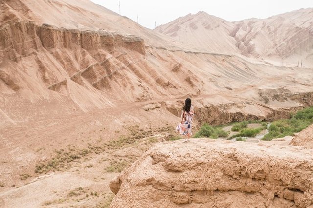
Although today due to the tight time, a quick glimpse is enough to feel his heat and spectacular!

In seven days, we crossed most of Xinjiang, although it was only in a short 7 days that we could not fully appreciate Xinjiang.
But it is deep in my mind for this first impression.
May I meet you again in the next best time.
Along the way, do a Western Dream that doesn't want to wake up.
dry goods sharing
[About the itinerary]
This time we set off from April 29th to May 7th, the itinerary is 7 days. Because Xinjiang is too big, the tour route is basically divided into northern Xinjiang and southern Xinjiang. Our trip was originally ten days. Because the holiday problem of the small partner was finally compressed into 7 days. Therefore, the journey of this trip every day is still very long. It is almost across the north and south of Xinjiang. It is recommended that the small partners can spend more time and play more loosely.
DAY1 Chengdu - Urumqi Accommodation
DAY2 Urumqi - Dushanzi Grand Canyon - Sailimu Lake - Yining City Hostel
DAY3 Sailimu Lake-Guangou Bridge-Horgos- Yining City Hostel
DAY4 Kakizan Folk Garden - Kala Jun Prairie - Turks Suspension
DAY5 Turks-Nalati Prairie Bayinbrook-Stay
DAY6 Bayinbulak - Yuli County County
DAY7 Robb Village - Turpan Stay
DAY8 Kaner Well - Flame Mountain - Urumqi Stay
DAY9 Urumu - Chengdu
[About traffic]
We are a special fare for China Southern Airlines scheduled more than a month in advance.
Chengdu Round trip Urumqi costs a total of about 1500.
Because it was during the May Day holiday, I was very satisfied with the price of this ticket.
The ticket is fixed, which is the problem of travel and transportation in Xinjiang.
Because Xinjiang is too large, public transportation is hardly displayed, so we decided to choose Longqing Outdoor recommended by friends.
Because many of the small partners who are traveling together are going to Xinjiang for the first time, we don’t have any idea about the route in Xinjiang. So we contacted the team master to help us plan and plan this route. The driver of the team really Super good, not only the driving technology is good, but also a variety of artifacts such as car microphones that let us kill time, the friends are laughing and laughing all the way, completely forgetting the tiredness of the car.
The whole itinerary, including the accommodation, was arranged by the masters in advance. The local Samsung standard, we are also very satisfied with the accommodation~
Super recommended this team master, interested basin friends want to contact us can privately trust me.
[About security]
Before departure, what are the biggest concerns of the friends? Is Xinjiang safe? After this return, I can tell you with certainty that Xinjiang is very safe.
Along the way, regardless of the city or township, gas station, hotel, and toll booth, there will be security check-ups to check the ID card, so the ID card needs to be carried with you.
Congratulations @wanwenguo! You have completed the following achievement on Steemit and have been rewarded with new badge(s) :
Click on the badge to view your Board of Honor.
If you no longer want to receive notifications, reply to this comment with the word
STOPTo support your work, I also upvoted your post!
Downvoting a post can decrease pending rewards and make it less visible. Common reasons:
Submit