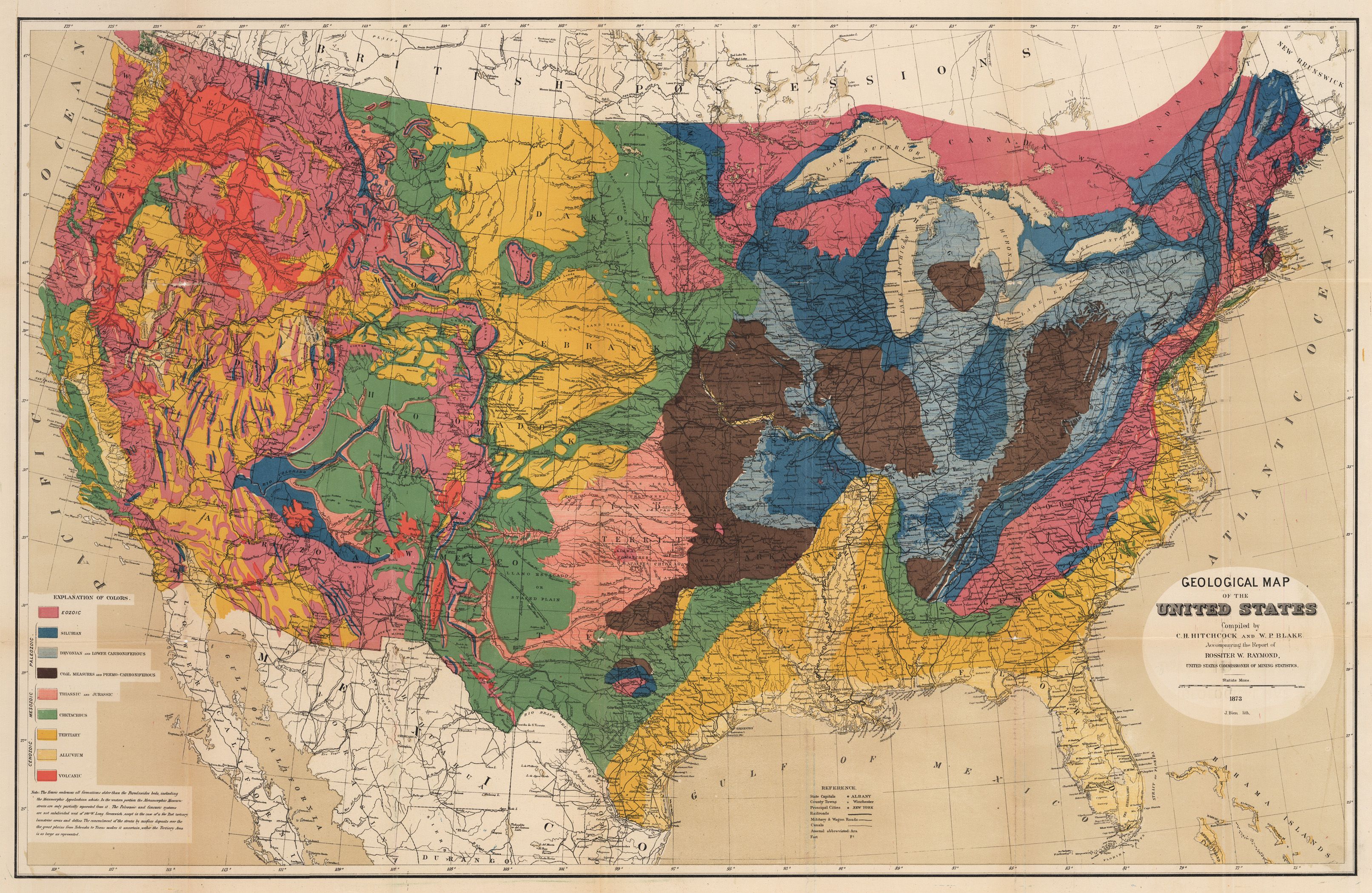
Geological Map of the United States Compiled by C.H. Hitchcock and W.P. Blake
By: United States GPO
Date: 1873 (Published) Washington
Dimensions: 21.4 x 33.5 (54.4 cm x 85.1 cm)
This colorful map of the United States was compiled by Professors C.H. Hitchcock and W.P. Blake and is one of the most important early geological maps of the United States, one which would be copied by major commercial mapmakers for a number of years following its appearance.

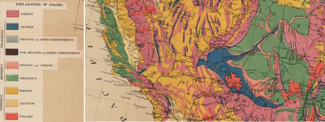
In addition to depicting geological data, the map also includes state capitals, county towns, principal cities, military and wagon roads, arsenals and forts, creeks and rivers, and canals. Railway systems are clearly delineated. The geological data depicted by it is quite inclusive, covering the Cenozoic, Mesozoic, and Paleozoic periods. More specific geologic data is included in the legend, which is color-coded for ease of reading and interpreting the map.
Like history or antique maps? Follow me on Steemit and visit my website (https://www.hjbmaps.com)
You got a 78.30% upvote from @bid4joy courtesy of @mapman5000!
Downvoting a post can decrease pending rewards and make it less visible. Common reasons:
Submit
You got a 80.00% upvote from @whalebuilder courtesy of @mapman5000. Join @whalebuilder family at our Discord Channel. Don't let your precious stake(SP) go stale...Make it do more so you have to do less. Deligate it to @whalebuilder by clicking on one of the ready to delegate links: 50SP | 100SP | 250SP | 500SP | 1000SP | 5000SP | custom amount.
Downvoting a post can decrease pending rewards and make it less visible. Common reasons:
Submit
6.08% @pushup from @mapman5000
Downvoting a post can decrease pending rewards and make it less visible. Common reasons:
Submit