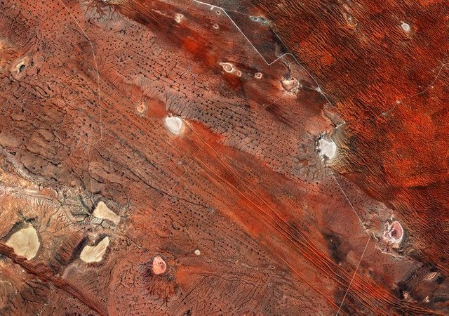
Although this image might look more like the surface of Mars, it was actually captured by the Copernicus Sentinel-2 mission and shows southeast Namibia and the western edge of the Kalahari Desert.
Credit : contains modified Copernicus Sentinel data (2017), processed by ESA, CC BY-SA 3.0 IGO
Hi, I found some acronyms/abbreviations in this post. This is how they expand:
Downvoting a post can decrease pending rewards and make it less visible. Common reasons:
Submit