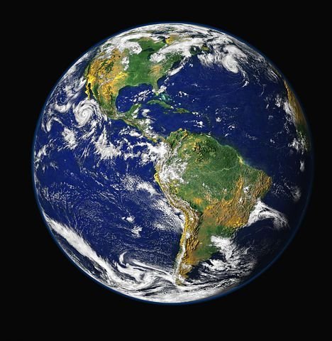
The Earth is not a perfect sphere. While it is often depicted as a smooth and symmetrical ball, the reality is that the planet's shape is a bit more complicated. In fact, the Earth is what is known as a geoid - a mathematically-defined surface that represents the average shape of the planet's sea level. In this article, we will delve into what makes the Earth a geoid, how scientists measure and define it, and why understanding the geoid is important for navigation, earth sciences, and more.
What is a Geoid?

A geoid is a theoretical surface that represents the true shape of the Earth, taking into account variations in gravity, sea level, and other factors that affect its shape. While the Earth is often depicted as a perfect sphere, its shape is actually more like an oblate spheroid - meaning it is slightly flattened at the poles and bulging at the equator. However, this shape is still not the true representation of the Earth's surface, which is affected by factors such as mountains, oceans, and gravity.
The geoid represents the Earth's surface if it were a uniform ocean, with no land masses or other variations in topography. In other words, the geoid is the "mean sea level" of the Earth, and it is used as a reference surface for measuring and mapping the planet.
Measuring and Defining the Geoid
Measuring the geoid is a complex task, as it requires taking into account the variations in gravity across the planet's surface. One of the most common methods used to measure the geoid is through satellite altimetry, where satellites measure the distance between the Earth's surface and their orbit. This data can then be used to create a map of the geoid and to measure variations in gravity across the planet.
Another method used to measure the geoid is through gravity mapping, where scientists use ground-based measurements of gravity to create a map of the planet's surface. This method is often used in conjunction with satellite altimetry to create a more accurate representation of the geoid.
Once the geoid has been measured, it can be defined mathematically. This is done using a series of complex equations that take into account the variations in gravity and sea level across the planet's surface. The resulting mathematical representation of the geoid is used as a reference surface for mapping and measuring the Earth, as well as for navigation and earth sciences.
Why Understanding the Geoid is Important
Understanding the geoid is important for a number of reasons, including navigation, earth sciences, and more. Here are a few of the key benefits of understanding the geoid:
Navigation: The geoid is used as a reference surface for navigation, as it represents the average sea level of the Earth. This makes it a valuable tool for navigation, as it can be used to accurately measure and map the planet's surface.
Earth Sciences: The geoid is also important for earth sciences, as it provides a reference surface for studying the planet's topography and variations in gravity. This information can then be used to better understand the Earth's geology, ocean currents, and other important features.
Climate Change: Understanding the geoid is also important for studying climate change, as it provides a reference surface for measuring changes in sea level over time. This information can be used to better understand the impact of climate change on the Earth's coastlines and ocean currents, as well as to develop effective strategies for mitigating its effects.
Conclusion
The Earth is not a perfect sphere, and its shape is more accurately represented as a geoid. The geoid is a mathematically-defined surface that represents the average shape of the planet's sea level, taking into account variations in gravity, topography, and other factors that affect the Earth's shape. Measuring the geoid is a complex task, and is done using a combination of satellite altimetry and ground-based gravity mapping.
Understanding the geoid is important for a variety of reasons, including navigation, earth sciences, and climate change. It provides a reference surface for accurately measuring and mapping the planet's surface, studying variations in gravity and topography, and tracking changes in sea level over time.
In conclusion, the geoid is an essential aspect of understanding the Earth, and its importance cannot be overstated. Whether you are a navigator, scientist, or just curious about the planet we call home, understanding the geoid is a valuable tool for exploring and understanding our world.