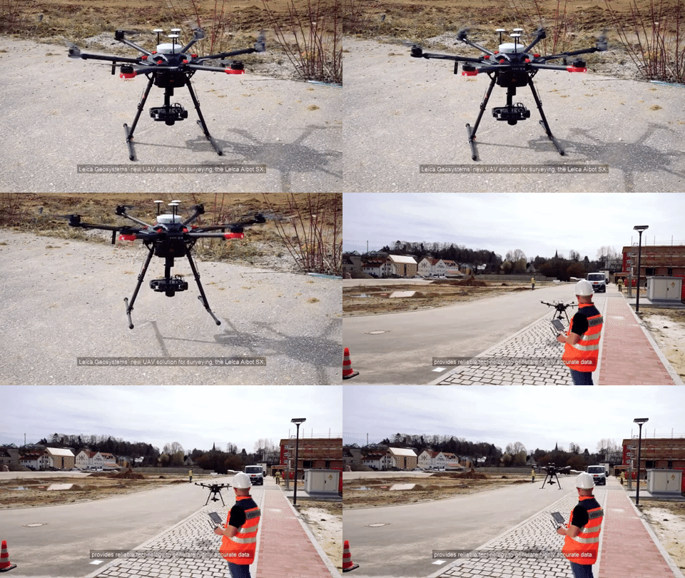
Leica Aibot SX
UAV Solution for Surveying
Screenshots

Hunter's comment
As drones are already doing a lot of useful tasks for humans in their everyday life. Leica Aibot SX is a UAV which is used for surveying and collecting the data.
Professional surveying, geo-mapping and asset inspection are dynamic processes, and the base for many engineering projects. The Leica Aibot SX brings several improvements to the surveying industry by capturing data faster to generate accurate orthophotos, 3D models and point clouds in high density.
Source
The traditional surveying and mapping is very tiresome but this drone can help you to get the accurate data and 3d models. It is linked with a software and you can get images in to that. It has a feature of flight planning as well as the flight execution.
Link
https://leica-geosystems.com/products/uav-systems/solutions/aibot-sx
Contributors
Hunter: @aamirijaz

This is posted on Steemhunt - A place where you can dig products and earn STEEM.
View on Steemhunt.com
Discover the sensors that will complete your UAV surveying and mapping solution for best performance. Easy to use interface and high-performance flight execution specifically.A great hunt
Downvoting a post can decrease pending rewards and make it less visible. Common reasons:
Submit
great find. It is amazing what drones can be used for. Use for surveying is a fantastic accomplishment.
Downvoting a post can decrease pending rewards and make it less visible. Common reasons:
Submit
a product that is very useful for humanity. the benefits of this product are:
can be used to survey and collect data.
capture data faster - produce accurate orthophotos
3D model
Downvoting a post can decrease pending rewards and make it less visible. Common reasons:
Submit
Great Hunt !
Here are my thoughts on Leica Aibot SX
Pros :
Cons :
Downvoting a post can decrease pending rewards and make it less visible. Common reasons:
Submit
Without a doubt, I believe that this type of drones are the future of science and research because it allows us to recreate maps and other values and characteristics from their data collection system, especially because this type of drones can reach more easily Places that are not always accessible to people.
Well done.
Downvoting a post can decrease pending rewards and make it less visible. Common reasons:
Submit
In surveying accuracy and usability are the keys for measuring success. I think this drone is excellent gadget to collect data and in addition it provide more flexible and useful information in less cost then a traditional on ground survey. Super Hunt
Downvoting a post can decrease pending rewards and make it less visible. Common reasons:
Submit
remember to hunt really your best finds on the web, we want the site to be fully of quality awesome products that people will love!
some power tips for the next hunt.. .
Downvoting a post can decrease pending rewards and make it less visible. Common reasons:
Submit
Thank you, Philip!
Downvoting a post can decrease pending rewards and make it less visible. Common reasons:
Submit
This will be useful for surveying challenging terrains and marshy locations
Downvoting a post can decrease pending rewards and make it less visible. Common reasons:
Submit
Congratulations!
We have upvoted your post for your contribution within our community.
Thanks again and look forward to seeing your next hunt!
Want to chat? Join us on:
Downvoting a post can decrease pending rewards and make it less visible. Common reasons:
Submit