GPS Visualizer
Do-It-Yourself Mapping
Screenshots
 View Image | 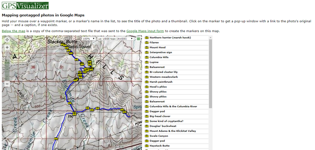 View Image |
|---|---|
Hunter's comment
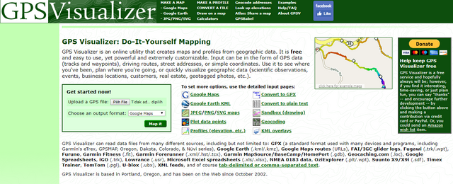
Creating maps and profiles from geographic data is not an easy job, but with the help of the right tools, this hard thing to do becomes easy.
Meet GPS Visualizer, an online tool that can be used to create maps and profiles from geographic data that we owned. Only with data in the form of GPS data such as waypoints and tracks, we can create our own maps.
GPS Visualizer is an online utility that maps and profiles from geographic data. It is free and easy to use, yet powerful and extremely customizable. Input can be in the form of GPS tracks and waypoints, driving routes, street addresses, or simple coordinates.
The advantage of this application is that we can create and visualize geographic data for purposes such as;
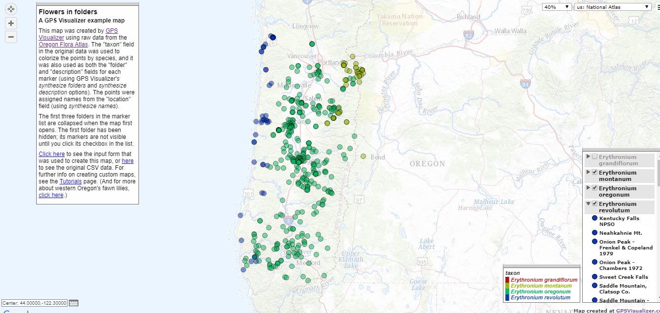
- Scientific observations
- Events
- Business locations
- Customers
- Real estates
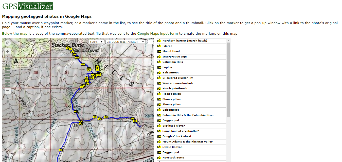
- Geotagged photos
Let's make our own map.
Link
Contributors
Hunter: @iqbaladan

This is posted on Steemhunt - A place where you can dig products and earn STEEM.
View on Steemhunt.com
I have approved it :)
Keep following the posting guidelines and bring awesomeness to SteemHunt!
If you have any question or want to chat with awesome SteemHunt community, join discord server.
Downvoting a post can decrease pending rewards and make it less visible. Common reasons:
Submit
good post
Downvoting a post can decrease pending rewards and make it less visible. Common reasons:
Submit