Piri Reis adalah laksamana utsmani abad ke 16 yang terkenal karena peta dan bagan yang dikumpulkan dalam bukunya Kitab-ı Bahriye (Buku Navigasi), sebuah buku yang berisi informasi terperinci tentang navigasi serta bagan yang sangat akurat yang menggambarkan pelabuhan dan kota penting dari Laut Mediterania. Pada tahun 1513 ia membuat world map-nya yang pertama, berdasarkan 20 peta dan peta yang lebih tua yang ia kumpulkan, termasuk grafik yang dirancang oleh Christopher Columbus yang diperoleh pamannya Kemal Reis pada tahun 1501 setelah menangkap tujuh kapal Spanyol di lepas pantai Valencia di Spanyol dengan beberapa awak kapal di kapal Columbus.
Berikut karya Piri reis
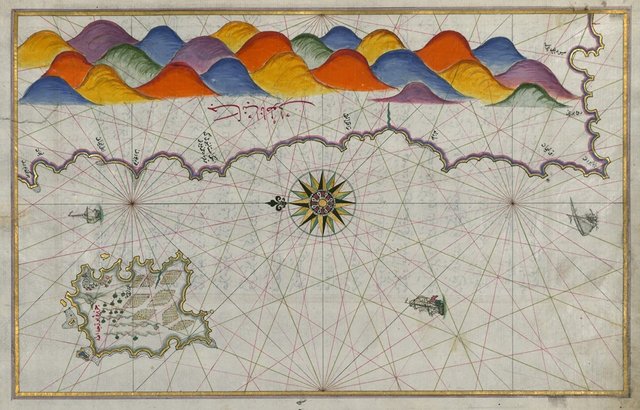
Map of the Island of Bozjah (Tenedos) Off the Coast of Anatolia
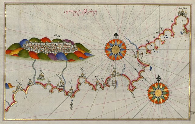
Map of the Coast of Andalusia with the City of Grenada
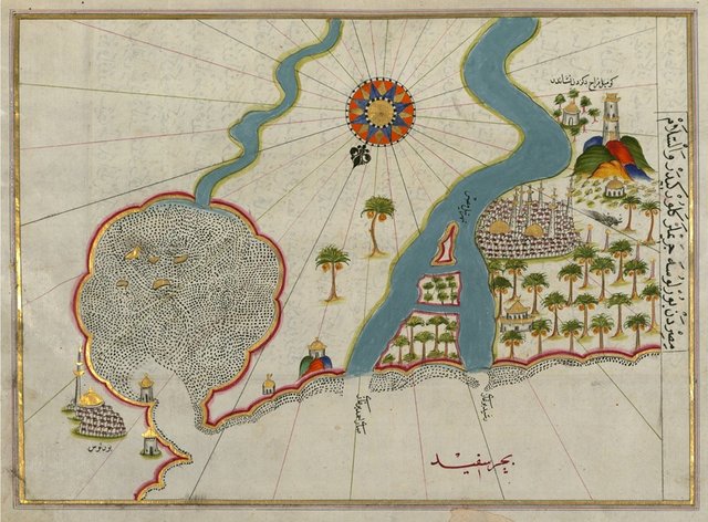
Map of the River Nile Estuary with the Cities of Rashid and Burullus on Each Side
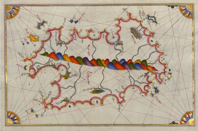
Map of the Island of Sardinia
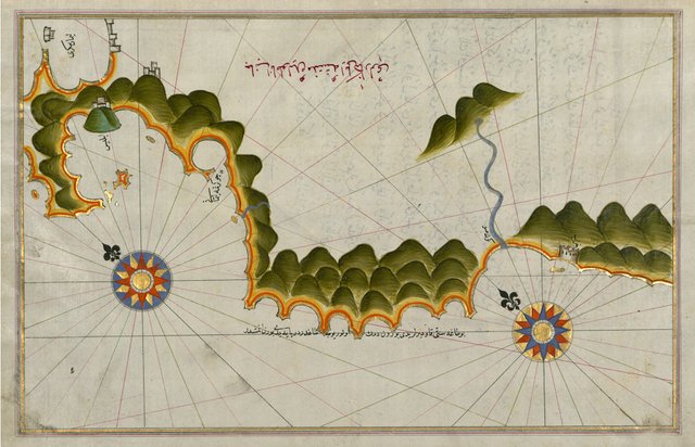
Map of Unidentified Islands Off the Southern Anatolian Coast
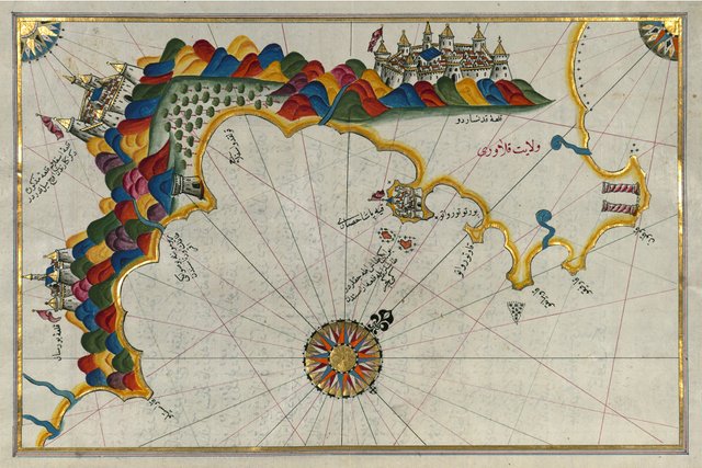
Map of the Calabrian Coast From Catanzaro to Siquillace
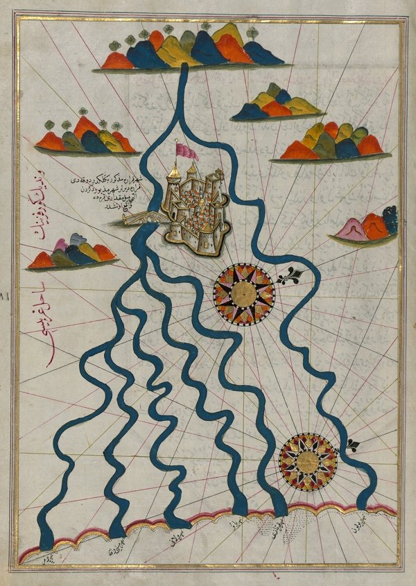
Map of the City of Ferrara with the Six Rivers Flowing into the Gulf of Venice
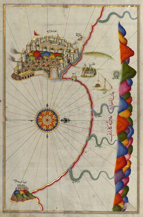
Map of the Fortress of Alanya
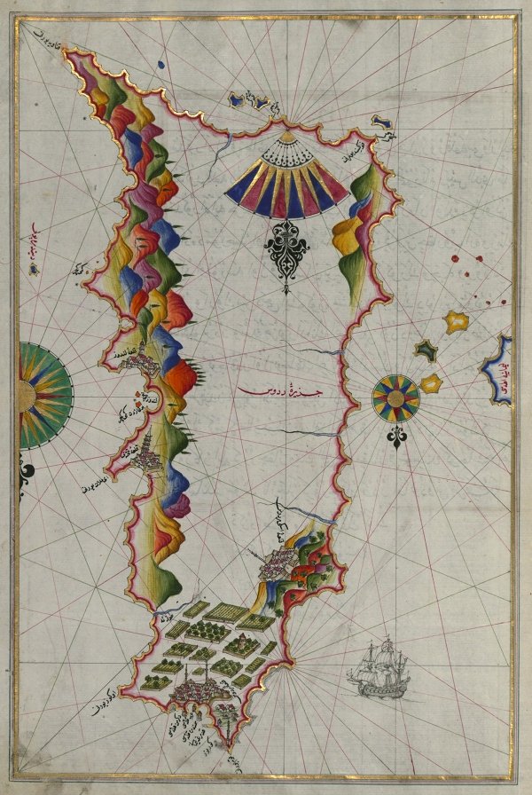
Rhodes Island
Follow @benghazi