Quick Appraisal Knowledge (QAK #14)
Situated in eastern Alameda County, Livermore contains approximately 24.1 square miles and has a population of roughly 83,000. The Livermore Valley is edged to the north, south and east by rolling hills, within which the urbanized area of the City lies. Livermore is bisected by Interstate 580 (I-580) which runs east-west through Alameda County. The Union Pacific Railroad, which now serves the ACE train commuter rail service, roughly parallels the freeway to the south.

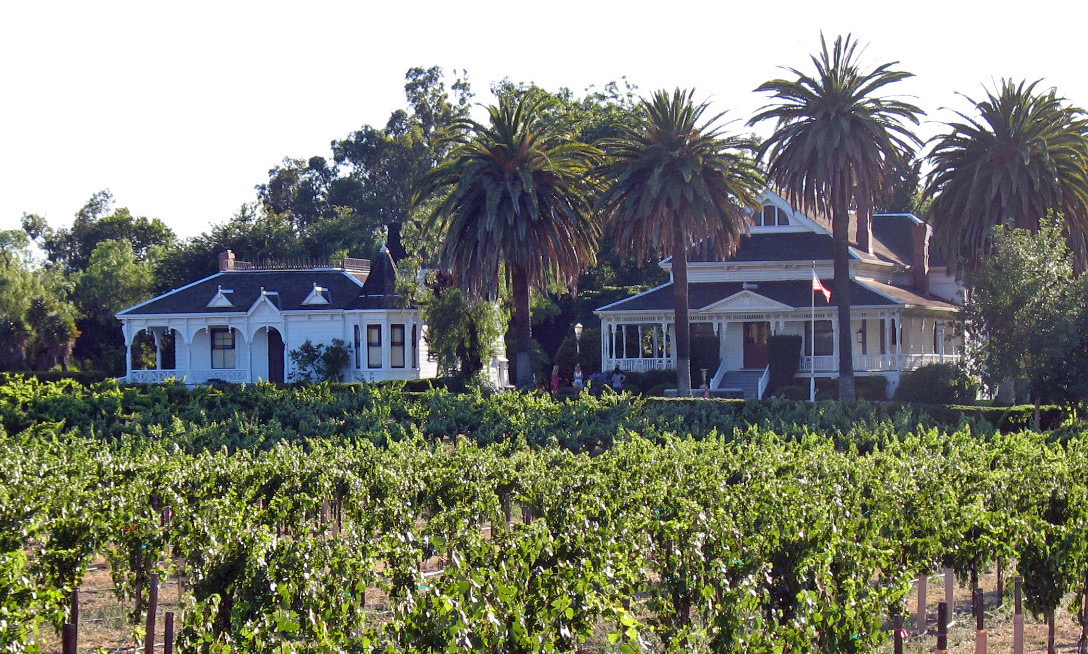
The most distinctive features of Livermore’s natural setting are the hills and ridgelines that surround the City, most of which lie outside the City limits. Ridgelines are pronounced along the southern edge of the City, where views of rolling hills, interspersed with sycamore woodland areas, are complemented by intervening vistas of agricultural land and vineyards. Significant ridgelines are also located north of the I-580 corridor, particularly those associated with Brushy Peak to the northeast, as well as the Altamont Hills east of Vasco Road and Greenville Road. Other open space to the north consists of more moderate topography, with rolling hills and rangelands. Several creeks and arroyos lie within the Planning Area, including Altamont Creek, Arroyo Seco, Arroyo Mocho, Arroyo Las Positas, Collier Canyon Creek, and Arroyo del Valle. These creeks support vegetation and trees for portions of their length, imparting important topographical and visual features to the general landscape.
Livermore’s historic downtown district lies south of the railway corridor and I-580, in an area bounded roughly by the railway to the north, Fourth Street to the south and east, and Murrieta Boulevard to the west. Residential development extends outwards from the Downtown core. Older residential developments, mostly built before Livermore’s major growth period in the 1950’s, lie adjacent to the Downtown to the north, south and east. Streets in these areas generally conform to the more traditional grid pattern seen in Livermore’s Downtown.
Beyond the center of the City, radiating outward to the urban edge, are numerous residential subdivisions. Mostly built since 1950, these residential neighborhoods occupy the greater part of the City’s land area. The urban fabric of these areas reflects a classic suburban development pattern; large tracts of one- and two-story single-family homes of largely similar style, arranged on cul-de-sacs and curvilinear local streets. Multi-family housing and apartment complexes are generally located along larger streets and arterials.
Other significant features of the urbanized area include a large triangular land area of low density light industrial development that radiates northeast between the railway and I-580 from east of Downtown to the City limits, Lawrence Livermore National Laboratory (LLNL) and Sandia National Laboratories in the southeastern part of the City, and the Municipal Airport to the west, south of I-580. The outlying urban edge is interspersed with older ranches, generally consisting of a clustered home and outbuildings, surrounded by pasture or other cultivated land.
Great. Thanks for sharing. I vote for you and begin to follow you. And Resteemed...
Downvoting a post can decrease pending rewards and make it less visible. Common reasons:
Submit
Thanks for the kindness, defreca!
Downvoting a post can decrease pending rewards and make it less visible. Common reasons:
Submit